Oldmill Island
Island in Roxburghshire
Scotland
Oldmill Island
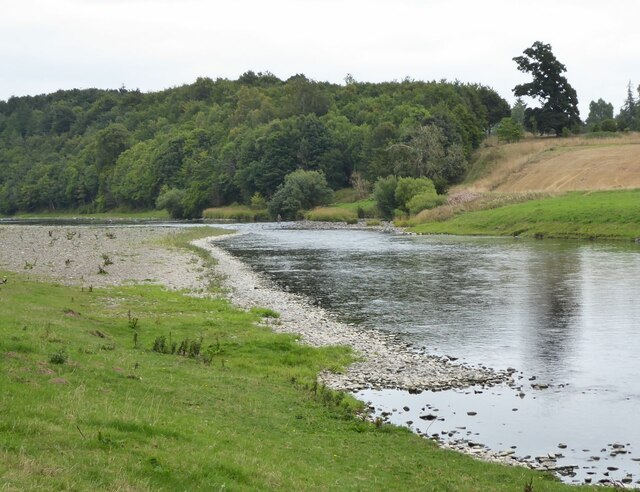
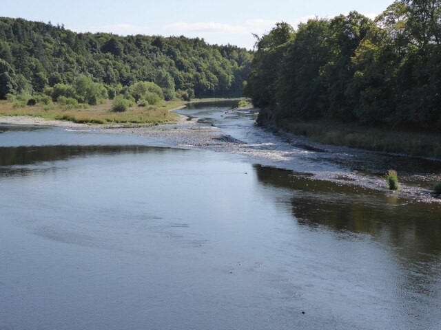
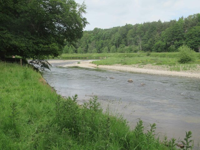
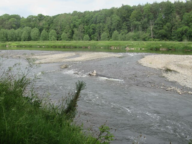
Oldmill Island is a small island situated in the Scottish Borders region of Roxburghshire. Located on the River Teviot, it is a picturesque and historically significant spot that attracts visitors from near and far.
The island gets its name from the old mill that once operated here, harnessing the power of the river to grind grain. Today, the mill has been converted into a museum, providing insight into the region's industrial past. Visitors can explore the exhibits and learn about the milling techniques used in the area.
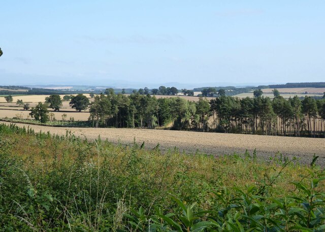
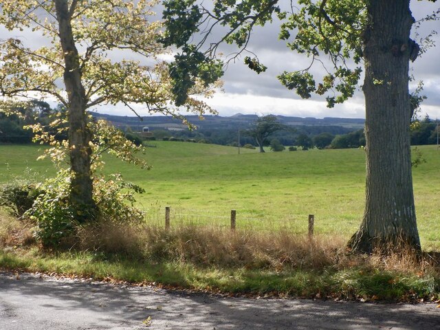
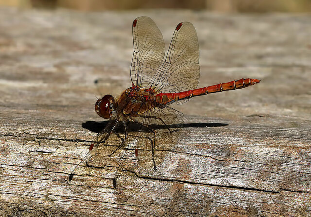
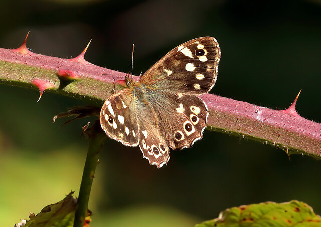
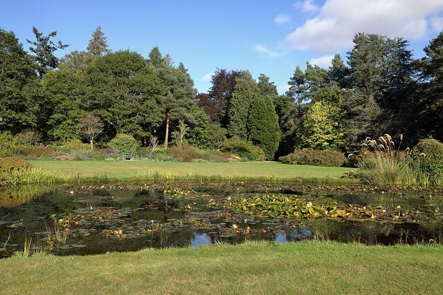
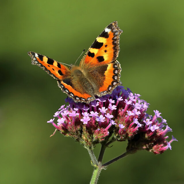
With its lush greenery and tranquil surroundings, Oldmill Island is a haven for nature lovers. The island is home to a variety of plant and animal species, making it an ideal spot for birdwatching and wildlife enthusiasts. The river banks are also popular for fishing, attracting anglers looking to catch salmon or trout.
The island is accessible via a footbridge, providing a peaceful escape from the bustling town of Hawick, which is just a short distance away. It offers stunning views of the surrounding landscape, including the rolling hills and the historic buildings of Hawick.
Oldmill Island is also known for its annual summer festival, which celebrates the local culture and heritage. The event includes live music, traditional dancing, and various activities for all ages.
In conclusion, Oldmill Island is a charming and historically significant location in Roxburghshire. With its rich history, natural beauty, and cultural events, it offers a unique experience for visitors seeking a peaceful retreat or an exploration of the Scottish Borders region.
If you have any feedback on the listing, please let us know in the comments section below.
Oldmill Island Images
Images are sourced within 2km of 55.576405/-2.5928862 or Grid Reference NT6231. Thanks to Geograph Open Source API. All images are credited.


Oldmill Island is located at Grid Ref: NT6231 (Lat: 55.576405, Lng: -2.5928862)
Unitary Authority: The Scottish Borders
Police Authority: The Lothians and Scottish Borders
What 3 Words
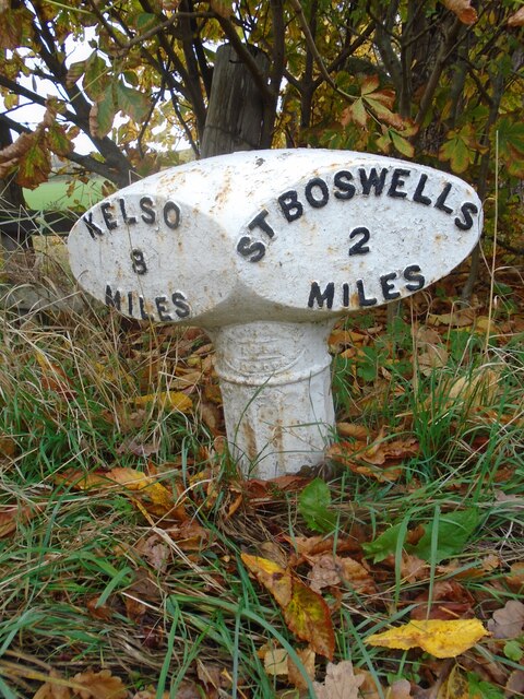
///loops.evolving.suggested. Near Saint Boswells, Scottish Borders
Nearby Locations
Related Wikis

Mertoun
Mertoun is a parish in the south-west of the historic county of Berwickshire in the Scottish Borders area of Scotland. Together with the parish of Maxton...

Mertoun House
Mertoun House is a country house situated by the River Tweed, 2 miles (3 kilometres) east of St Boswells in the Scottish Borders. It is home to the Duke...

Borders Abbeys Way
The Borders Abbeys Way is a long-distance footpath in the Scottish Borders area of Scotland. It is a circular walkway and is 109 kilometres (68 mi) in...

Clintmains
Clintmains is a village by the River Tweed, in the parish of Mertoun, to the east of Newtown St Boswells, in the Scottish Borders area of Scotland, in...
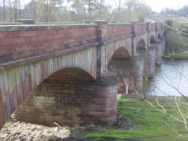
Mertoun Bridge
The Mertoun Bridge is a bridge across the River Tweed in the Scottish Borders. == History == The Act of Parliament that authorised the building of a bridge...

Maxton railway station
Maxton railway station served the hamlet of Maxton, Roxburghshire, Scotland from 1851 to 1964 on the Kelso Line. == History == The station opened in June...

Maxton, Roxburghshire
Maxton is a hamlet and civil parish in Roxburghshire, Scotland, and part of the Scottish Borders region. Maxton lies just off the A68, south of St. Boswells...
Bemersyde Moss
Bemersyde Moss is a Scottish Wildlife Trust nature reserve and a Site of Special Scientific Interest at Bemersyde in the Scottish Borders area of Scotland...
Nearby Amenities
Located within 500m of 55.576405,-2.5928862Have you been to Oldmill Island?
Leave your review of Oldmill Island below (or comments, questions and feedback).