Collarhaugh Stream

Lake, Pool, Pond, Freshwater Marsh in Roxburghshire

Scotland

Collarhaugh Stream

St Cuthbert's Way The boardwalk avoids the wet woodland further down the bank.
Not the most exciting section of the way with no views through the trees.
St Cuthbert's Way Credit: Russel Wills

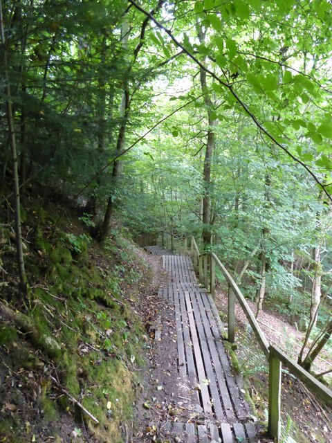
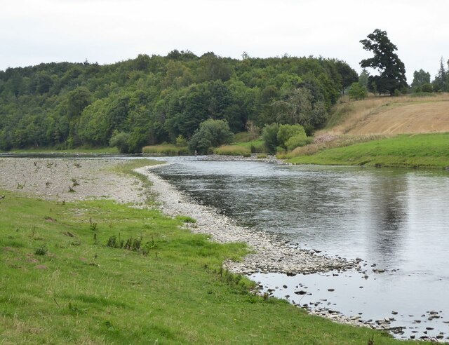
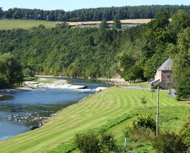
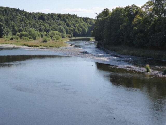
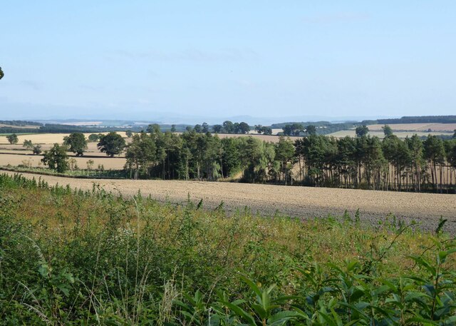
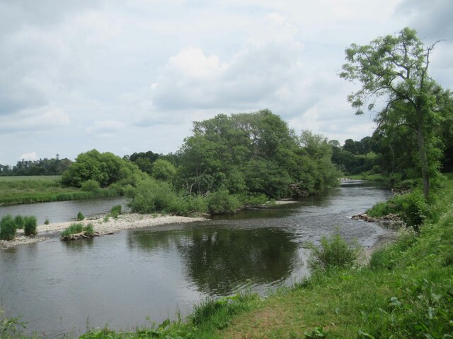
Collarhaugh Stream is a freshwater marsh located in the county of Roxburghshire, Scotland. It is a small, yet significant body of water that serves as a vital habitat for various flora and fauna. The stream originates from the surrounding hills and meanders through the picturesque landscape, adding to the natural beauty of the area.

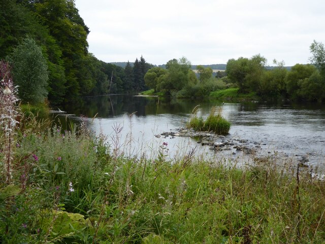
The stream is characterized by its calm and tranquil waters, which are nourished by the rainfall and underground springs. It forms a small lake-like pool, which is surrounded by lush vegetation and reeds. The pool is relatively shallow, with a maximum depth of around 2 meters, and covers an area of approximately 0.5 hectares.

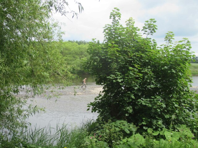
The vegetation around Collarhaugh Stream is diverse and rich, with a variety of aquatic plants such as water lilies, sedges, and reeds. These plants provide shelter and food sources for numerous species of birds, insects, and amphibians. The marshy areas adjacent to the stream are home to a range of wetland plants, including marsh marigold and yellow flag iris.

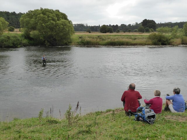
The stream also supports a diverse range of wildlife, including water voles, otters, and various fish species such as trout and stickleback. The presence of these species indicates the high ecological value of the stream and its importance in maintaining a balanced ecosystem.

Collarhaugh Stream, with its serene waters, lush vegetation, and abundant wildlife, offers a peaceful and scenic spot for nature enthusiasts and photographers. It is a valuable natural resource that deserves protection and conservation efforts to ensure its preservation for future generations to enjoy.

If you have any feedback on the listing, please let us know in the comments section below.

Collarhaugh Stream Images

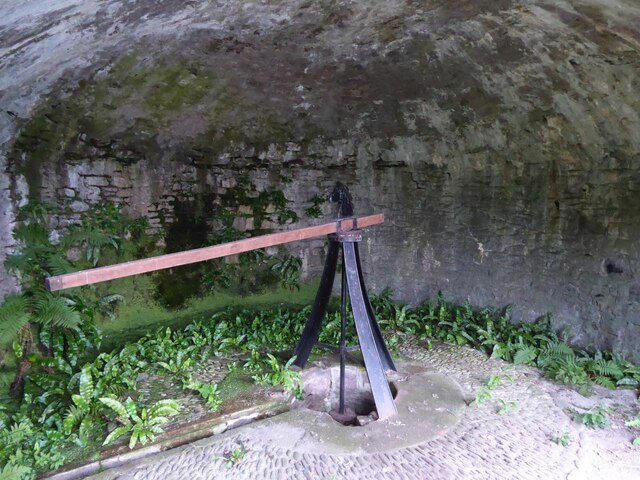
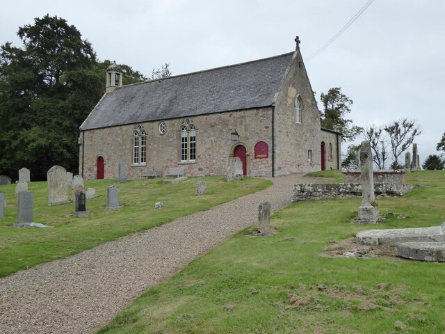
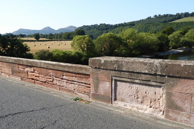
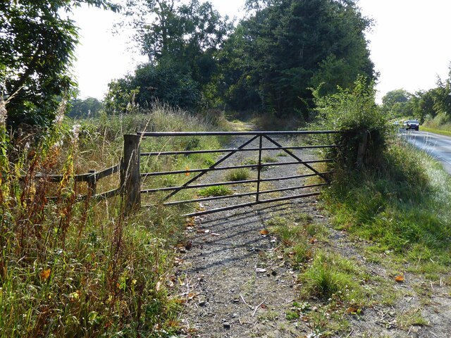
Images are sourced within 2km of 55.576725/-2.5973637 or Grid Reference NT6231. Thanks to Geograph Open Source API. All images are credited.

St Cuthbert's Way The boardwalk avoids the wet woodland further down the bank.
Not the most exciting section of the way with no views through the trees.
St Cuthbert's Way
The boardwalk avoids the wet woodland further down the bank. Not the most exciting section of the way with no views through the trees.
The River Tweed  St Cuthbert's Way passes along the bank, through tall weeds, below Benrig.
The River Tweed
St Cuthbert's Way passes along the bank, through tall weeds, below Benrig.
The Crystal Well A spring originally supplying clean water for Benrig House.
In the mid 1800s the Elliot family built a pump to bring water up to the house, much more convenient than sending a maid down with a bucket!
The Crystal Well
A spring originally supplying clean water for Benrig House. In the mid 1800s the Elliot family built a pump to bring water up to the house, much more convenient than sending a maid down with a bucket!
Every Modern Convenience A plaque on the wall listing the technological progressions involved in getting water up to Benrig House.
Every Modern Convenience
A plaque on the wall listing the technological progressions involved in getting water up to Benrig House.
Donkey or mule power house This chamber, above the Crystal Well, housed the animals that trudged in circles round the room to power the adjacent pump that pumped the water up to Benrig House. See <a title="https://www.geograph.org.uk/photo/6955163" href="https://www.geograph.org.uk/photo/6955163">Link</a>
Donkey or mule power house
This chamber, above the Crystal Well, housed the animals that trudged in circles round the room to power the adjacent pump that pumped the water up to Benrig House. See Link
Fisherman in River Tweed Viewed from St Cuthbert's Way.
Fisherman in River Tweed
Viewed from St Cuthbert's Way.
Fishing as a spectator sport! Walkers on St Cuthbert's Way watch a lady fishing in the River Tweed.
Fishing as a spectator sport!
Walkers on St Cuthbert's Way watch a lady fishing in the River Tweed.
Glebe House By the kirk at Maxton.
Glebe House
By the kirk at Maxton.
Maxton Kirk 'There is reputed to have been a church on or near the present site for close on 1000 years. In 1322 Edward II and his men destroyed Dryburgh Abbey on his retreat from Edinburgh. In revengeful mood, the English army set it on fire. 'One result of this destruction was the gift of Maxton Church, one of the last of such ecclesiastical possessions to become the property of the Abbey.'
<span class="nowrap"><a title="https://www.dryburghdistrictchurches.org/maxton-kirk-history.html" rel="nofollow ugc noopener" href="https://www.dryburghdistrictchurches.org/maxton-kirk-history.html">Link</a><img style="margin-left:2px;" alt="External link" title="External link - shift click to open in new window" src="https://s1.geograph.org.uk/img/external.png" width="10" height="10"/></span>
Maxton Kirk
'There is reputed to have been a church on or near the present site for close on 1000 years. In 1322 Edward II and his men destroyed Dryburgh Abbey on his retreat from Edinburgh. In revengeful mood, the English army set it on fire. 'One result of this destruction was the gift of Maxton Church, one of the last of such ecclesiastical possessions to become the property of the Abbey.' LinkExternal link
Ordnance Survey cut mark On Mertoun Bridge.
With backdrop of River Tweed and the Eildon Hills.
(Better than the usual buried in a hedge location!)
Ordnance Survey cut mark
On Mertoun Bridge. With backdrop of River Tweed and the Eildon Hills. (Better than the usual buried in a hedge location!)
Mill at Clintmains With adjacent weir on the River Tweed.
There is a fisherman in the river above the weir.
Mill at Clintmains
With adjacent weir on the River Tweed. There is a fisherman in the river above the weir.
View downstream from Mertoun Bridge With island in the River Tweed.
View downstream from Mertoun Bridge
With island in the River Tweed.
Gated track off B6404 Leading to the woods at Danderhall.
Gated track off B6404
Leading to the woods at Danderhall.
Arable land east of Danderhall Looking into the valley of the River Tweed.
Arable land east of Danderhall
Looking into the valley of the River Tweed.
River Tweed
River Tweed
Fisherman in the middle of the River Tweed
River Tweed
River Tweed
River Tweed
River Tweed
Show me another place!

Collarhaugh Stream is located at Grid Ref: NT6231 (Lat: 55.576725, Lng: -2.5973637)

Unitary Authority: The Scottish Borders

Police Authority: The Lothians and Scottish Borders

What 3 Words

///hotel.galloped.manicured. Near Saint Boswells, Scottish Borders

Related Wikis

Mertoun

Mertoun is a parish in the south-west of the historic county of Berwickshire in the Scottish Borders area of Scotland. Together with the parish of Maxton...

Mertoun House

Mertoun House is a country house situated by the River Tweed, 2 miles (3 kilometres) east of St Boswells in the Scottish Borders. It is home to the Duke...

Clintmains

Clintmains is a village by the River Tweed, in the parish of Mertoun, to the east of Newtown St Boswells, in the Scottish Borders area of Scotland, in...
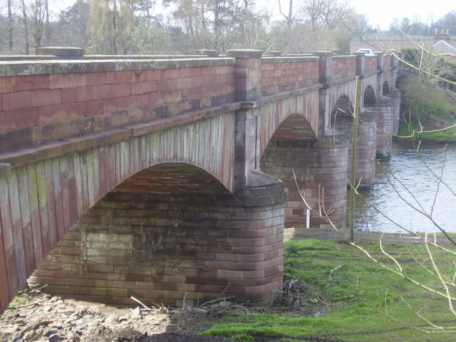
Mertoun Bridge

The Mertoun Bridge is a bridge across the River Tweed in the Scottish Borders. == History == The Act of Parliament that authorised the building of a bridge...

Nearby Amenities

Located within 500m of 55.576725,-2.5973637
Note: Private beyond this point
Lat/Long: 55.5777941/-2.604078
The data included in this document is from www.openstreetmap.org. The data is made available under ODbL.

Have you been to Collarhaugh Stream?

Leave your review of Collarhaugh Stream below (or comments, questions and feedback).