Lilliard's Wood
Wood, Forest in Roxburghshire
Scotland
Lilliard's Wood

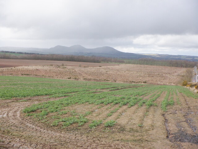
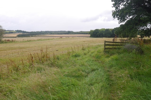
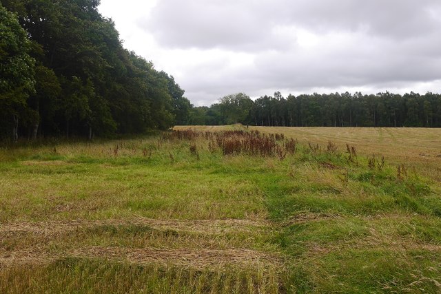
Lilliard's Wood is a picturesque forest located in Roxburghshire, Scotland. Spread across an area of approximately 200 hectares, this woodland is a popular destination for nature enthusiasts and explorers alike. The forest is situated near the village of Ancrum, surrounded by rolling hills and farmland.
Lilliard's Wood boasts a rich variety of flora and fauna, making it a haven for biodiversity. The forest is predominantly composed of native broadleaf trees such as oak, birch, and beech, creating a vibrant and colorful landscape throughout the seasons. Bluebells carpet the forest floor in spring, while autumn brings a stunning display of golden hues.
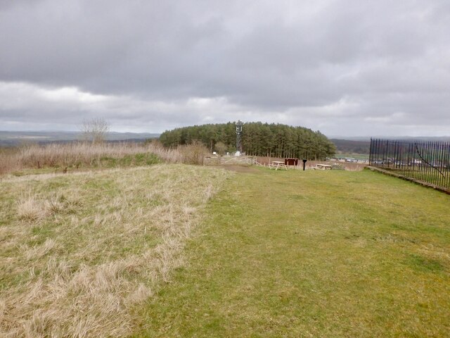
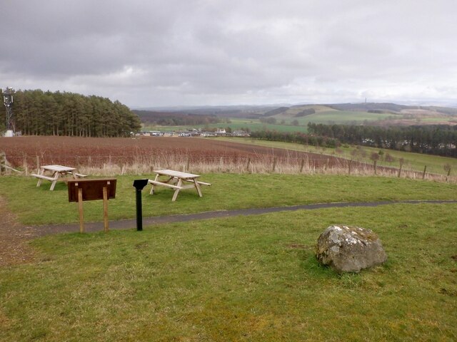
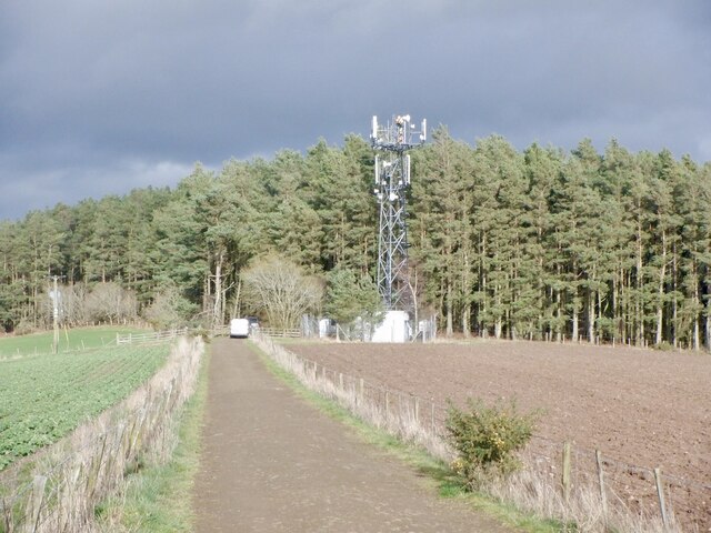
The woodland is crisscrossed by a network of well-maintained trails, offering visitors the opportunity to explore its beauty on foot or by bicycle. These paths cater to all levels of fitness and are suitable for both leisurely strolls and more challenging hikes. Along the way, visitors can enjoy breathtaking views of the surrounding countryside and may even spot some of the area's wildlife, including red squirrels, deer, and a variety of bird species.
Lilliard's Wood also holds historical significance. It is named after the Battle of Ancrum Moor, which took place in 1545 between the Scottish and English armies. Interpretive panels throughout the forest provide information about this historic event and the role the woodland played during the battle.
With its stunning natural beauty, diverse wildlife, and historical significance, Lilliard's Wood is a must-visit destination for anyone seeking a peaceful and enriching experience in the heart of Roxburghshire.
If you have any feedback on the listing, please let us know in the comments section below.
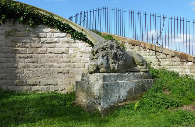
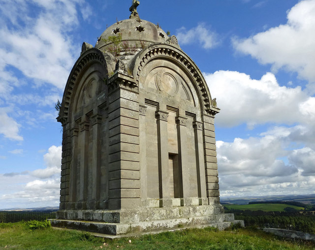
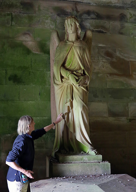
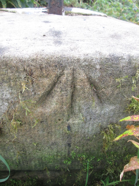
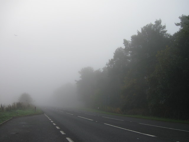
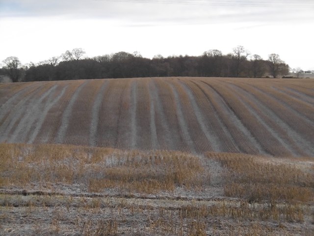
Lilliard's Wood Images
Images are sourced within 2km of 55.542573/-2.5969248 or Grid Reference NT6227. Thanks to Geograph Open Source API. All images are credited.


Lilliard's Wood is located at Grid Ref: NT6227 (Lat: 55.542573, Lng: -2.5969248)
Unitary Authority: The Scottish Borders
Police Authority: The Lothians and Scottish Borders
What 3 Words
///zoned.finalists.baths. Near Saint Boswells, Scottish Borders
Nearby Locations
Related Wikis

Battle of Ancrum Moor
The Battle of Ancrum Moor was fought during the War of the Rough Wooing in 1545. The Scottish victory put a temporary end to English incursions in the...

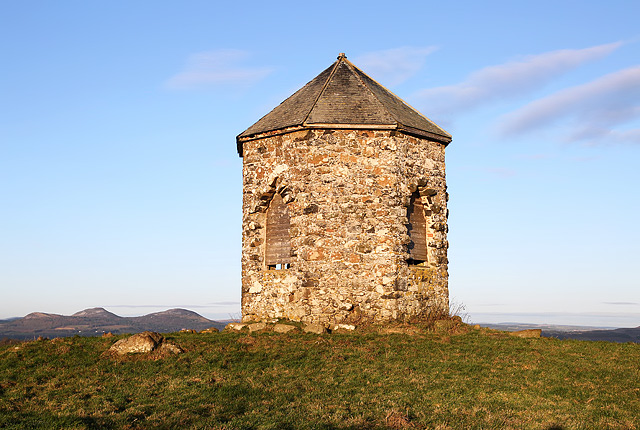
Monteath Mausoleum
The Monteath Mausoleum is a large landmark in the Scottish Borders near the village of Ancrum. The listed building can be seen from the A68 road just north...

Maxton railway station
Maxton railway station served the hamlet of Maxton, Roxburghshire, Scotland from 1851 to 1964 on the Kelso Line. == History == The station opened in June...
Maxton, Roxburghshire
Maxton is a hamlet and civil parish in Roxburghshire, Scotland, and part of the Scottish Borders region. Maxton lies just off the A68, south of St. Boswells...
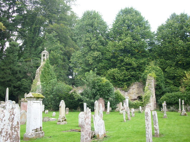
Ancrum Old Parish Church
Ancrum Old Parish Church is situated just over half a mile north west of the village of Ancrum in the Scottish Borders area of Scotland, on the B4600 road...

Peniel Heugh
Peniel Heugh (237 m) is a hill near Ancrum and Nisbet in the Scottish Borders area of Scotland. On it stands the Waterloo Monument. == Geology == The heugh...

Ancrum
Ancrum (Scottish Gaelic: Alan Crom) is a village in the Borders area of Scotland, 5 km (3.1 mi) northwest of Jedburgh.The village — which currently has...

Waterloo Monument
The Waterloo Monument near Ancrum in the Scottish Borders is a 150-foot tower, built between 1817 and 1824 to commemorate the Battle of Waterloo. It was...
Nearby Amenities
Located within 500m of 55.542573,-2.5969248Have you been to Lilliard's Wood?
Leave your review of Lilliard's Wood below (or comments, questions and feedback).