Westroundel Wood
Wood, Forest in Roxburghshire
Scotland
Westroundel Wood

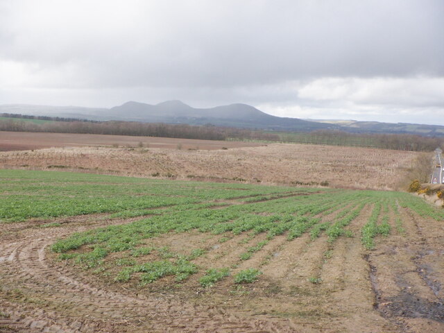
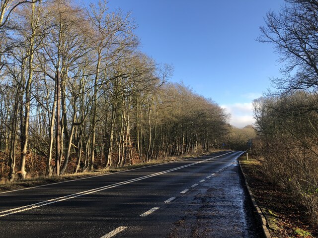
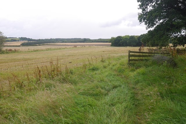
Westroundel Wood is a picturesque forest located in Roxburghshire, a historic county in the Scottish Borders region of Scotland. Covering an area of approximately 80 acres, this woodland oasis is renowned for its serene beauty and rich biodiversity.
The wood is predominantly composed of native broadleaf trees, such as oak, beech, and birch, which create a dense canopy, providing shade and shelter to a variety of flora and fauna. The forest floor is adorned with a carpet of wildflowers, including bluebells, primroses, and wood anemones, which bloom in vibrant colors during the spring months, attracting a myriad of butterflies and bees.
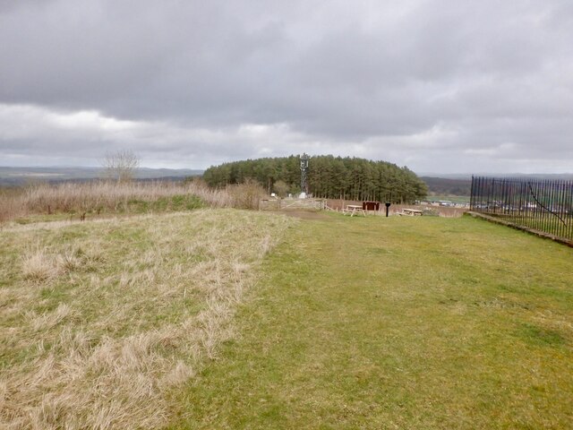
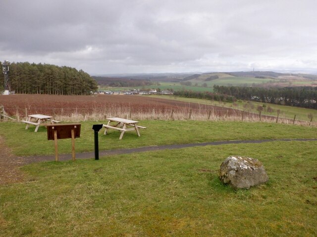
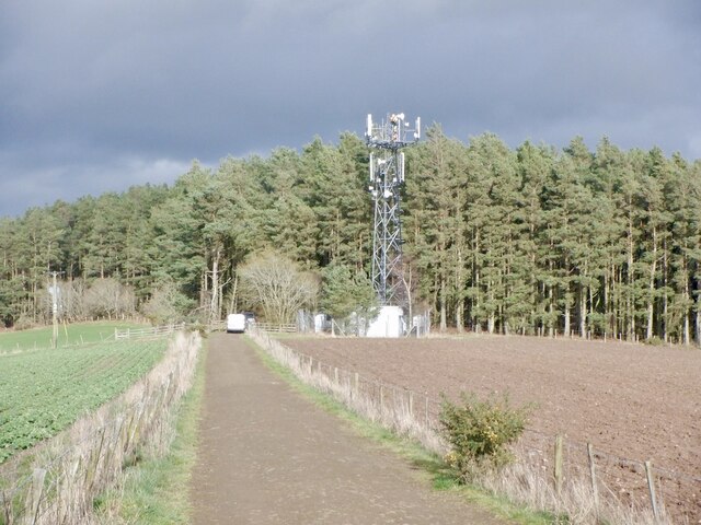
Numerous walking trails crisscross the wood, allowing visitors to explore its hidden corners and discover its treasures. These paths wind through the towering trees, offering stunning views of the surrounding countryside and the River Teviot, which meanders through the area.
Westroundel Wood is not only a haven for nature enthusiasts but also a sanctuary for wildlife. Red squirrels, roe deer, and numerous bird species, including woodpeckers and tawny owls, call this forest home. The tranquil environment makes it an ideal spot for birdwatching and wildlife photography.
The wood is managed by a local conservation group, which works diligently to preserve its natural beauty and protect its delicate ecosystem. They organize regular events and educational activities, encouraging the community to engage with and appreciate the wood's unique environment.
Overall, Westroundel Wood offers a peaceful escape from the hustle and bustle of everyday life, providing visitors with a chance to immerse themselves in nature and experience the tranquility of a truly enchanting forest.
If you have any feedback on the listing, please let us know in the comments section below.
Westroundel Wood Images
Images are sourced within 2km of 55.543033/-2.6021139 or Grid Reference NT6227. Thanks to Geograph Open Source API. All images are credited.


Westroundel Wood is located at Grid Ref: NT6227 (Lat: 55.543033, Lng: -2.6021139)
Unitary Authority: The Scottish Borders
Police Authority: The Lothians and Scottish Borders
What 3 Words
///knitted.outbid.lamppost. Near Saint Boswells, Scottish Borders
Nearby Locations
Related Wikis

Battle of Ancrum Moor
The Battle of Ancrum Moor was fought during the War of the Rough Wooing in 1545. The Scottish victory put a temporary end to English incursions in the...

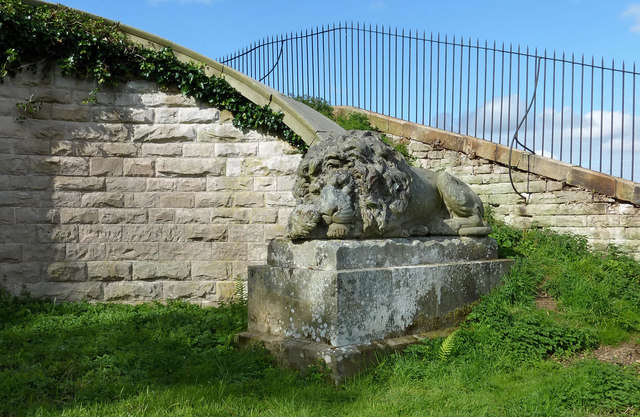
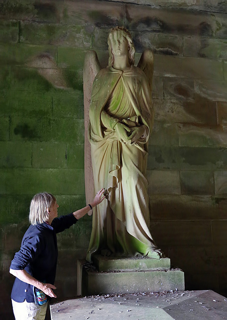
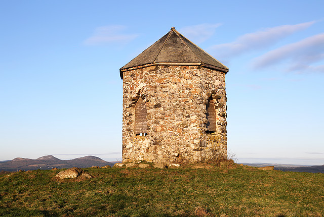
Monteath Mausoleum
The Monteath Mausoleum is a large landmark in the Scottish Borders near the village of Ancrum. The listed building can be seen from the A68 road just north...

Maxton railway station
Maxton railway station served the hamlet of Maxton, Roxburghshire, Scotland from 1851 to 1964 on the Kelso Line. == History == The station opened in June...
Maxton, Roxburghshire
Maxton is a hamlet and civil parish in Roxburghshire, Scotland, and part of the Scottish Borders region. Maxton lies just off the A68, south of St. Boswells...
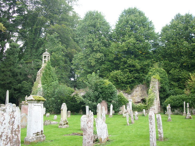
Ancrum Old Parish Church
Ancrum Old Parish Church is situated just over half a mile north west of the village of Ancrum in the Scottish Borders area of Scotland, on the B4600 road...

Ancrum
Ancrum (Scottish Gaelic: Alan Crom) is a village in the Borders area of Scotland, 5 km (3.1 mi) northwest of Jedburgh.The village — which currently has...
Greycrook
Greycrook is a village off the A68 and the A699 in the Scottish Borders, approximately 500 m (550 yd) south-east of St Boswells, and close to Dryburgh...

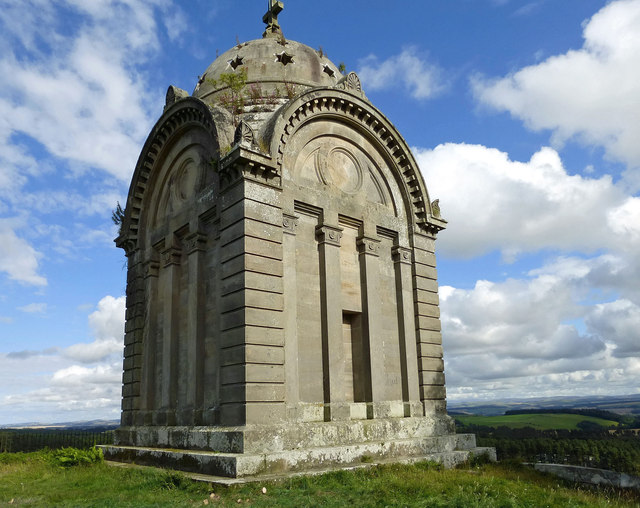
Peniel Heugh
Peniel Heugh (237 m) is a hill near Ancrum and Nisbet in the Scottish Borders area of Scotland. On it stands the Waterloo Monument. == Geology == The heugh...
Nearby Amenities
Located within 500m of 55.543033,-2.6021139Have you been to Westroundel Wood?
Leave your review of Westroundel Wood below (or comments, questions and feedback).