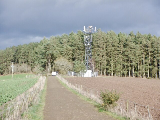
Whinney Plantation
Wood, Forest in Roxburghshire
Scotland
Whinney Plantation

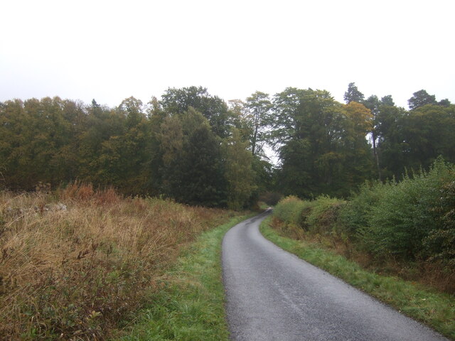
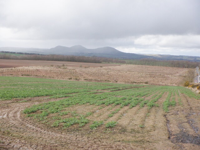
Whinney Plantation is a picturesque woodland located in Roxburghshire, Scotland. Situated on the outskirts of the small village of Whinney, the plantation covers an area of approximately 100 acres. It is known for its dense and diverse array of trees, making it a popular destination for nature lovers and outdoor enthusiasts.
The woodland is predominantly composed of native species such as oak, beech, and birch, creating a rich and vibrant ecosystem. The mature trees provide ample shade and shelter for a variety of wildlife, including deer, squirrels, and a wide range of bird species.
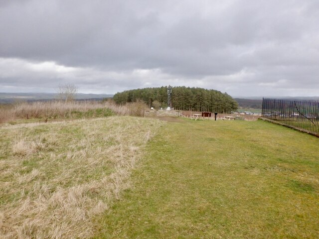
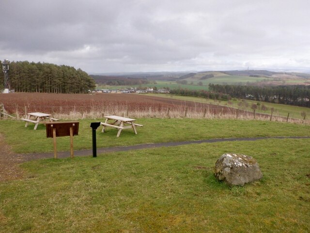
The plantation offers a network of well-maintained walking trails, allowing visitors to explore the tranquil surroundings and take in the beauty of the natural landscape. The paths wind through the woodland, leading to secluded clearings and viewpoints that offer breathtaking vistas of the surrounding countryside.
Whinney Plantation is also home to a small pond, which adds to the charm of the area. The pond attracts a variety of aquatic life, including frogs and dragonflies, further enhancing the biodiversity of the plantation.
The woodland is managed by a local conservation organization, which ensures the preservation of the natural habitat and the promotion of sustainable practices. The plantation is open to the public year-round and offers a peaceful retreat away from the hustle and bustle of city life.
In conclusion, Whinney Plantation in Roxburghshire is a captivating woodland that showcases the beauty of Scotland's natural landscape. Its diverse array of trees, abundant wildlife, and well-maintained trails make it a must-visit destination for those seeking a peaceful and enriching outdoor experience.
If you have any feedback on the listing, please let us know in the comments section below.
Whinney Plantation Images
Images are sourced within 2km of 55.539102/-2.5918333 or Grid Reference NT6227. Thanks to Geograph Open Source API. All images are credited.


Whinney Plantation is located at Grid Ref: NT6227 (Lat: 55.539102, Lng: -2.5918333)
Unitary Authority: The Scottish Borders
Police Authority: The Lothians and Scottish Borders
What 3 Words
///spelled.birthing.debt. Near Saint Boswells, Scottish Borders
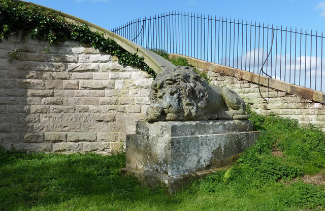
Nearby Locations
Related Wikis

Battle of Ancrum Moor
The Battle of Ancrum Moor was fought during the War of the Rough Wooing in 1545. The Scottish victory put a temporary end to English incursions in the...

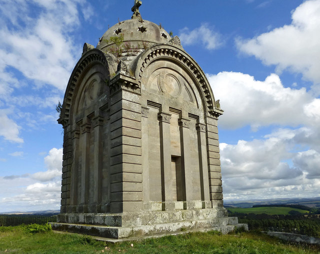
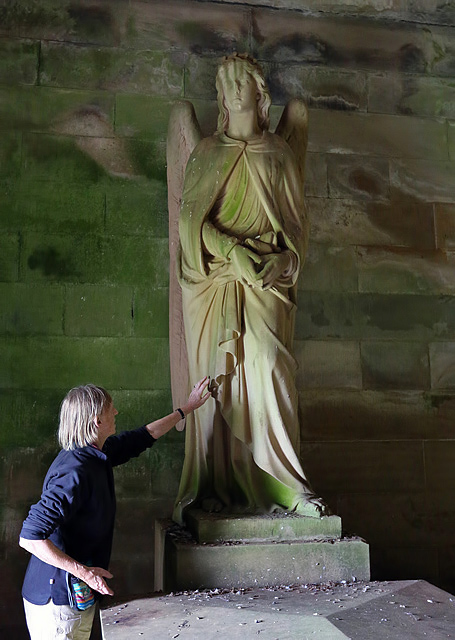
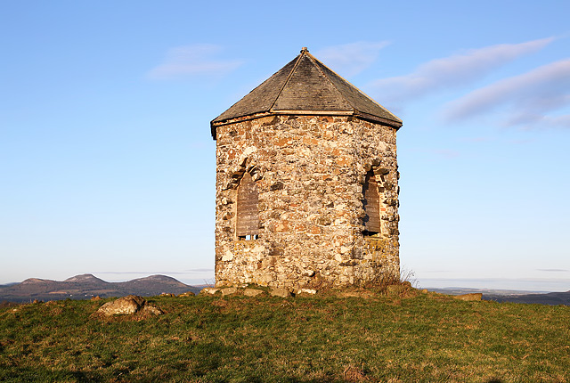
Monteath Mausoleum
The Monteath Mausoleum is a large landmark in the Scottish Borders near the village of Ancrum. The listed building can be seen from the A68 road just north...
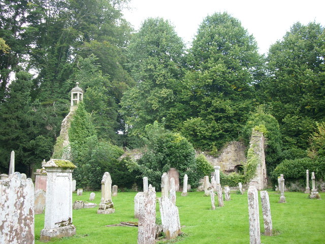
Ancrum Old Parish Church
Ancrum Old Parish Church is situated just over half a mile north west of the village of Ancrum in the Scottish Borders area of Scotland, on the B4600 road...

Maxton railway station
Maxton railway station served the hamlet of Maxton, Roxburghshire, Scotland from 1851 to 1964 on the Kelso Line. == History == The station opened in June...
Nearby Amenities
Located within 500m of 55.539102,-2.5918333Have you been to Whinney Plantation?
Leave your review of Whinney Plantation below (or comments, questions and feedback).