Baldavie Plantation

Wood, Forest in Banffshire

Scotland

Baldavie Plantation

Curious cattle Near Ordens - coming to see why I was getting out of the car.
Curious cattle Credit: Alan Murray-Rust

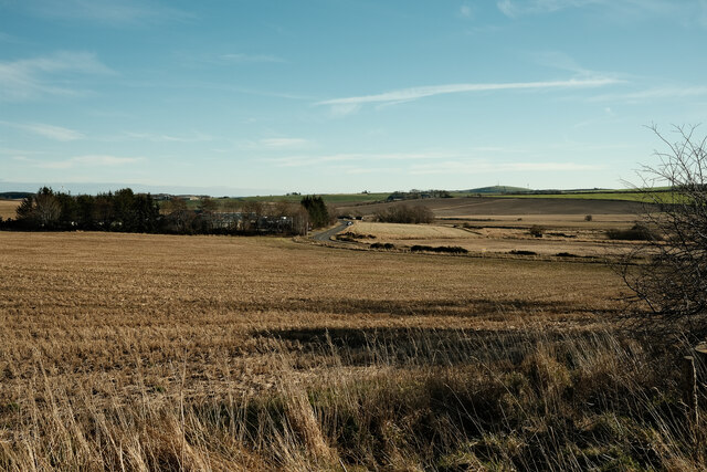
Baldavie Plantation is a picturesque woodland located in Banffshire, Scotland. Situated near the village of Tomintoul, the plantation covers a vast area and is known for its scenic beauty and rich biodiversity.

The plantation primarily consists of coniferous trees, including Scots pine and Sitka spruce, which dominate the landscape. The dense forest canopy provides a haven for a wide range of wildlife, including various species of birds, mammals, and insects. Rare and protected species such as red squirrels, capercaillie, and pine martens can also be found within the plantation.

Baldavie Plantation offers an ideal setting for nature enthusiasts and outdoor adventurers. Several well-maintained trails wind their way through the woodland, providing opportunities for hiking, walking, and birdwatching. The tranquil atmosphere and stunning views make it a popular destination for those seeking a peaceful escape from the hustle and bustle of city life.

The plantation is managed by local authorities, ensuring the preservation of its natural beauty and ecological importance. Conservation efforts are also in place to protect the diverse range of flora and fauna that call Baldavie Plantation home.

Overall, Baldavie Plantation in Banffshire is a remarkable woodland that showcases the beauty of Scotland's natural landscape. With its enchanting forests, abundant wildlife, and recreational opportunities, it is an oasis of tranquility for both locals and tourists alike.

If you have any feedback on the listing, please let us know in the comments section below.

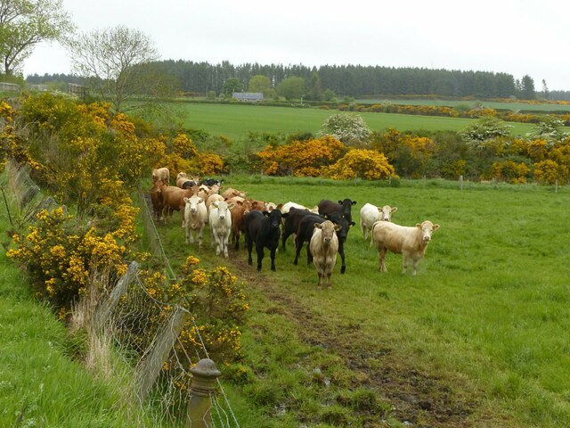
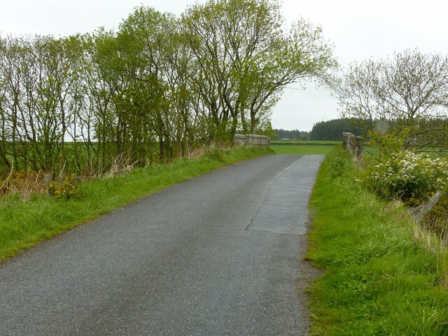
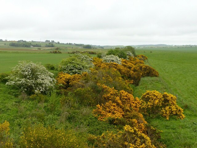
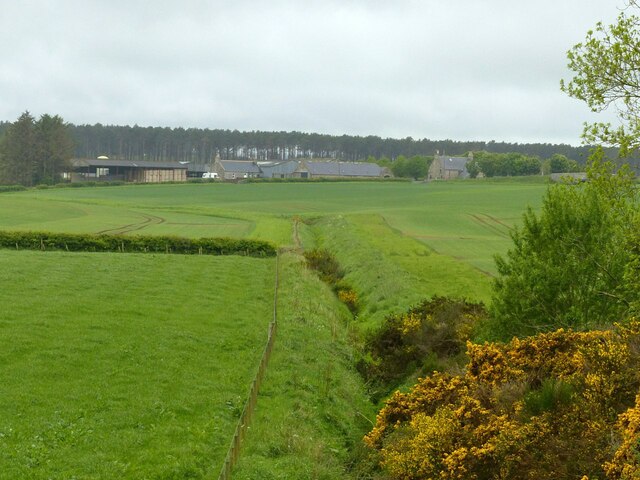
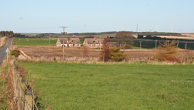
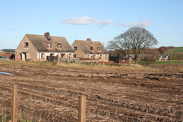
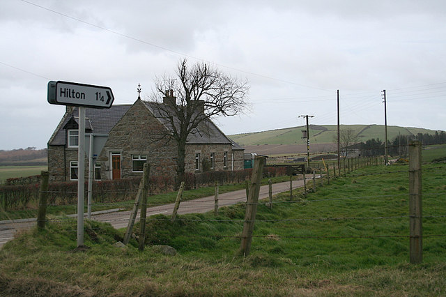
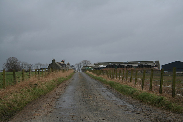
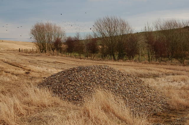
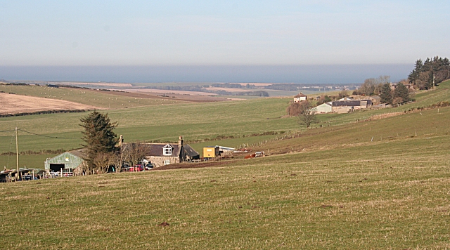
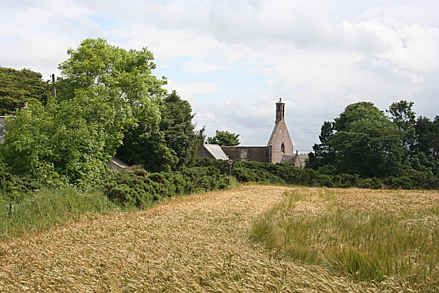
Baldavie Plantation Images

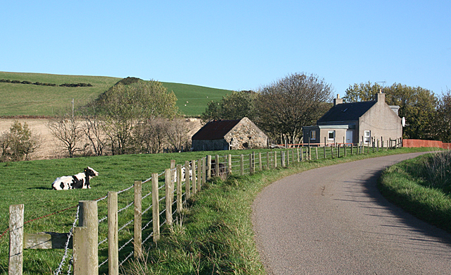
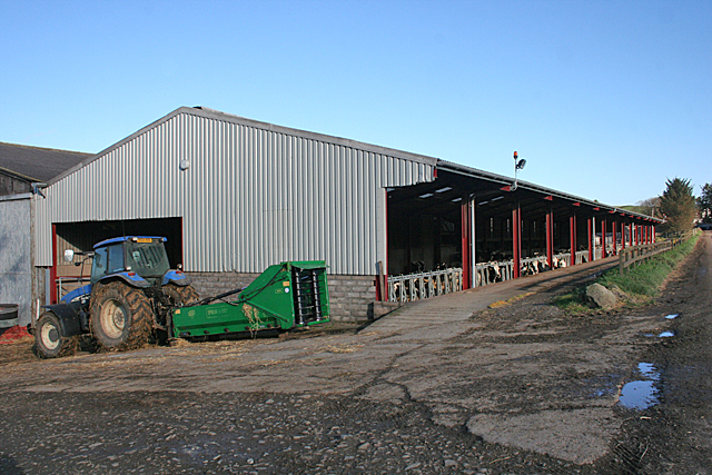
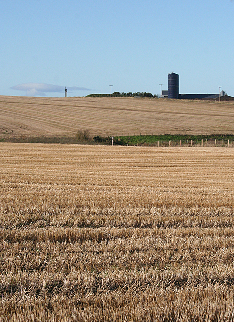
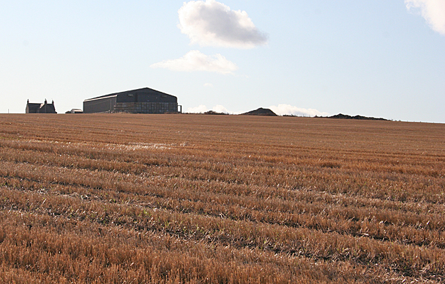
Images are sourced within 2km of 57.636302/-2.6309842 or Grid Reference NJ6260. Thanks to Geograph Open Source API. All images are credited.

Curious cattle Near Ordens - coming to see why I was getting out of the car.
Curious cattle
Near Ordens - coming to see why I was getting out of the car.
Former railway bridge on the road to Baldavie This was the former Great North of Scotland branch to Banff.
Former railway bridge on the road to Baldavie
This was the former Great North of Scotland branch to Banff.
Former railway line to Banff One of the locations where the course of this branch is still evident, the shallow cutting having not been put to the plough.
Former railway line to Banff
One of the locations where the course of this branch is still evident, the shallow cutting having not been put to the plough.
The site of Ordens Halt The halt was in the whin bottom right and was a very basic halt on the Great North of Scotland Railway's branch to Banff. The line curved away right – indicated by the slightly lighter green of the crop - to run under the A95, the bridge being just visible to the right of the picture. Ordens is the steading in the centre of the view.
The site of Ordens Halt
The halt was in the whin bottom right and was a very basic halt on the Great North of Scotland Railway's branch to Banff. The line curved away right – indicated by the slightly lighter green of the crop - to run under the A95, the bridge being just visible to the right of the picture. Ordens is the steading in the centre of the view.
A view of the A98 Looking over the fields towards the A98
A view of the A98
Looking over the fields towards the A98
RAF Banff strike wing monument The main inscription reads:
"This memorial commemorates the men and women who served with the six multi-national squadrons which formed the Banff strike wing at RAF Banff between September 1944 and May 1945. Under the command of Group Captain the Hon. Max Aitken, the mixed Mosquito and Beaufighter units mounted concentrated attacks on German surface vessels and U-boats in the North Sea and along the Norwegian Coast. Their success in the closing months of World War ll was important in the defeat of Germany and strike wing aircraft operating from the airfield near here inflicted heavy damage on enemy shipping and supply routes. Many thousands of tons of vital iron ore and other supplies were lost  to the German forces as a result of rocket and cannon attacks carried out by this gallant strike wing. Losses among the RAF, Commonwealth and Norwegian squadrons were high. More than 80 aircrew gave their lives flying with the RAF Banff strike wing."
RAF Banff strike wing monument
The main inscription reads: "This memorial commemorates the men and women who served with the six multi-national squadrons which formed the Banff strike wing at RAF Banff between September 1944 and May 1945. Under the command of Group Captain the Hon. Max Aitken, the mixed Mosquito and Beaufighter units mounted concentrated attacks on German surface vessels and U-boats in the North Sea and along the Norwegian Coast. Their success in the closing months of World War ll was important in the defeat of Germany and strike wing aircraft operating from the airfield near here inflicted heavy damage on enemy shipping and supply routes. Many thousands of tons of vital iron ore and other supplies were lost to the German forces as a result of rocket and cannon attacks carried out by this gallant strike wing. Losses among the RAF, Commonwealth and Norwegian squadrons were high. More than 80 aircrew gave their lives flying with the RAF Banff strike wing."
Hill of Culbirnie Trig Point Flush Bracket S6201
Culbirnie or Cowfords? The map says Cowfords, the sign says Culbirnie. In fact the same road gives access to Culbirnie Parks and Easter Culbirnie as well as to Cowfords. In the background is the Hill of Culbirnie.
Culbirnie or Cowfords?
The map says Cowfords, the sign says Culbirnie. In fact the same road gives access to Culbirnie Parks and Easter Culbirnie as well as to Cowfords. In the background is the Hill of Culbirnie.
Cottage at the Corner The cottage by the side of the minor road from Oldtown is not named on the maps.
Cottage at the Corner
The cottage by the side of the minor road from Oldtown is not named on the maps.
Cattle Court at Boghead A large modern building houses a large herd of Holstein Friesian dairy cattle.
Cattle Court at Boghead
A large modern building houses a large herd of Holstein Friesian dairy cattle.
Upper Blairmaud The large farm of Upper Blairmaud stands on a ridge which runs north to south across this square, partly hidden from here by the lie of the land. The green in the middle is the bank on one side of the Den of Denniston, a dip eroded by a headwater of the Burn of Boyndie.
Upper Blairmaud
The large farm of Upper Blairmaud stands on a ridge which runs north to south across this square, partly hidden from here by the lie of the land. The green in the middle is the bank on one side of the Den of Denniston, a dip eroded by a headwater of the Burn of Boyndie.
Looking towards Cairns of Ord The farm buildings are in the next square, but the stubble field is in this square.
Looking towards Cairns of Ord
The farm buildings are in the next square, but the stubble field is in this square.
Alehouseburn Cottages The relatively modern cottages stand just off the B9025, on the access road to Alehouseburn Farm. On the skyline is the Boyndie wind farm.
Alehouseburn Cottages
The relatively modern cottages stand just off the B9025, on the access road to Alehouseburn Farm. On the skyline is the Boyndie wind farm.
Alehouseburn Cottages The relatively modern cottages stand just off the B9025, on the access road to Alehouseburn Farm, which can be seen to the right. It is in an adjacent square.
Alehouseburn Cottages
The relatively modern cottages stand just off the B9025, on the access road to Alehouseburn Farm, which can be seen to the right. It is in an adjacent square.
Oldtown of Ord
Oldtown of Ord
Quarry Croft in the distance
Woodland at Lochagan A small patch of young mixed woodland. A pile of stones removed from the field in the foreground seems to be of smaller pebbles than are normally extracted.
Woodland at Lochagan
A small patch of young mixed woodland. A pile of stones removed from the field in the foreground seems to be of smaller pebbles than are normally extracted.
Lochagan Wester Lochagan is in the left foreground, and Lochagan beyond and to the right.
Lochagan
Wester Lochagan is in the left foreground, and Lochagan beyond and to the right.
Show me another place!

Baldavie Plantation is located at Grid Ref: NJ6260 (Lat: 57.636302, Lng: -2.6309842)

Unitary Authority: Aberdeenshire

Police Authority: North East

What 3 Words

///plausible.neater.worksheet. Near Whitehills, Aberdeenshire

Nearby Locations

Baldavie Plantation

Related Wikis

Ordens railway station

Ordens railway station was opened in 1859, its services restricted and renamed Ordens Platform railway station by 1911 and finally Ordens Halt railway...

Tillynaught railway station

Tillynaught railway station or Tillynaught Junction was a junction railway station in what is now Aberdeenshire, Parish of Fordyce, 6 miles south-west...
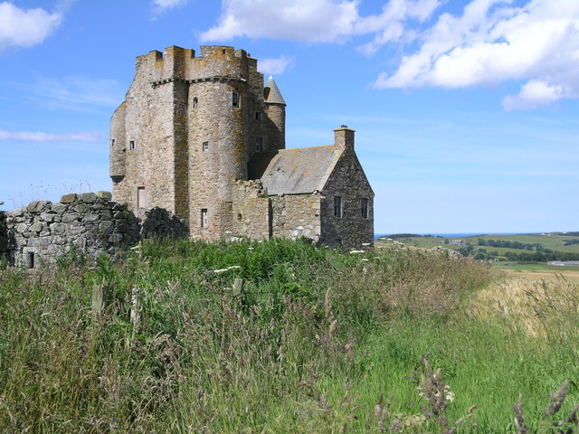
Inchdrewer Castle

Inchdrewer Castle is a 16th-century tower house in the parish of Banff, Aberdeenshire, in the north-east of Scotland. Situated on a slight rise 3.5 miles...

Boyndie

Boyndie is a village in Aberdeenshire, Scotland. == History == Boyndie was once home to RAF Banff Strike Wing, which played a pivotal role in protecting...

Nearby Amenities

Located within 500m of 57.636302,-2.6309842
Power: pole
Lat/Long: 57.632218/-2.6325041
Power: pole
Lat/Long: 57.6324939/-2.6314772
Power: pole
Lat/Long: 57.6328097/-2.6302759
Power: pole
Lat/Long: 57.6330185/-2.6295175
Power: pole
Lat/Long: 57.633286/-2.6285337
Power: pole
Lat/Long: 57.6335325/-2.627593
Power: pole
Lat/Long: 57.6338546/-2.6282731
Power: pole
Lat/Long: 57.6344537/-2.6280046
Power: pole
Lat/Long: 57.6350862/-2.6277341
Power: pole
Lat/Long: 57.6354524/-2.6269777
Power: pole
Lat/Long: 57.6357986/-2.6262173
Power: pole
Lat/Long: 57.6361458/-2.625455
Power: pole
Lat/Long: 57.6364993/-2.624675
Power: pole
Lat/Long: 57.6395235/-2.6362649
Power: pole
Lat/Long: 57.639683/-2.635575
Power: pole
Lat/Long: 57.6399651/-2.6343404
Power: pole
Lat/Long: 57.6402273/-2.6331979
Power: pole
Lat/Long: 57.640434/-2.6322748
Power: pole
Lat/Long: 57.6406585/-2.6313067
Man Made: mast
Tower Type: communication
Lat/Long: 57.636438/-2.6243377
The data included in this document is from www.openstreetmap.org. The data is made available under ODbL.

Have you been to Baldavie Plantation?

Leave your review of Baldavie Plantation below (or comments, questions and feedback).