Balnoon Wood
Wood, Forest in Banffshire
Scotland
Balnoon Wood
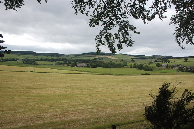
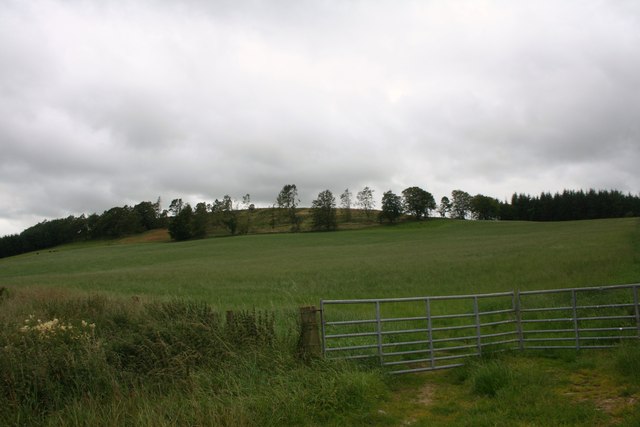
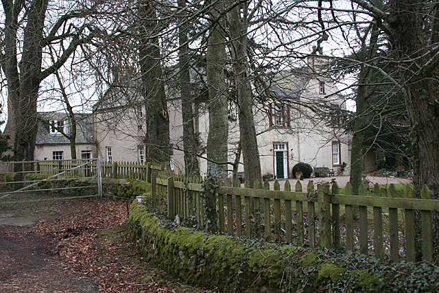
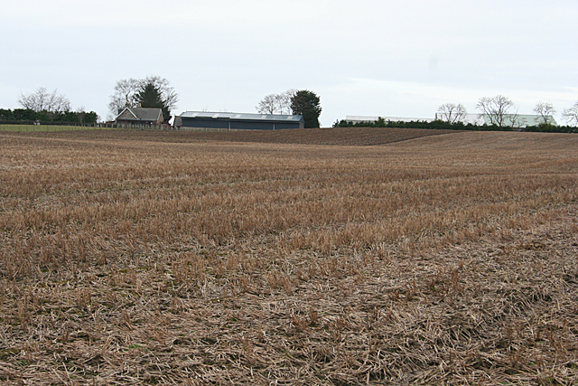
Balnoon Wood, located in the picturesque region of Banffshire, is a captivating forest that spans over a substantial area of land. Nestled amidst the rolling hills and lush countryside, this enchanting woodland boasts a diverse range of flora and fauna, making it a haven for nature enthusiasts and an ideal spot for peaceful walks.
Covering an expanse of approximately [insert area], Balnoon Wood is predominantly composed of native tree species, such as oak, birch, and pine, which create a dense canopy overhead. The intertwining branches create a unique ambiance as sunlight filters through, casting dappled shadows on the forest floor. The forest is especially vibrant during the spring and summer months, when wildflowers bloom and their sweet fragrance fills the air.
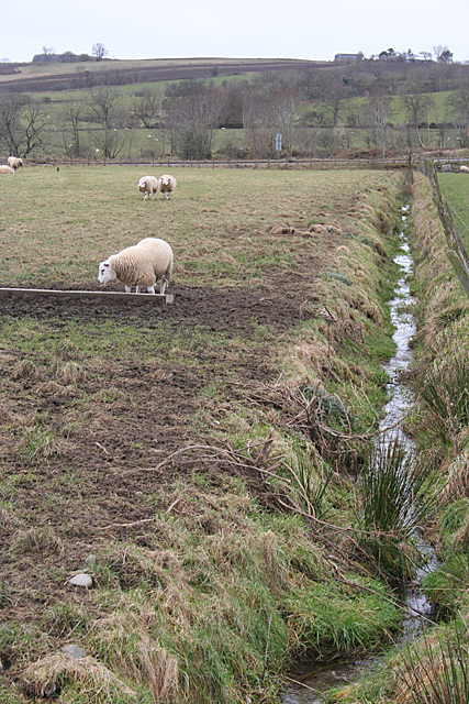
The wood is teeming with wildlife, providing a habitat for various species. Birdwatchers can spot a multitude of avian creatures, including woodpeckers, owls, and songbirds. Squirrels can be seen scampering among the treetops, while rabbits and deer occasionally make appearances, adding to the woodland's charm.
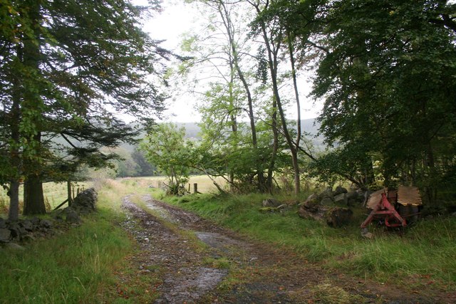
For visitors seeking solace or a break from the hustle and bustle of everyday life, Balnoon Wood offers a network of well-maintained paths and trails. These winding routes allow visitors to explore the forest at their own pace, providing opportunities to immerse themselves in the tranquility of nature. The forest's serene atmosphere and stunning vistas make it an ideal location for photography or simply a leisurely stroll.
Overall, Balnoon Wood in Banffshire is a natural treasure, offering a serene escape into the beauty of nature. Its diverse ecosystem, breathtaking scenery, and peaceful ambiance make it a must-visit destination for nature lovers and those seeking a respite from the outside world.
If you have any feedback on the listing, please let us know in the comments section below.
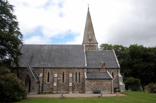
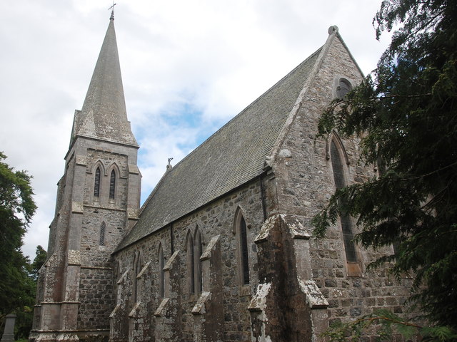
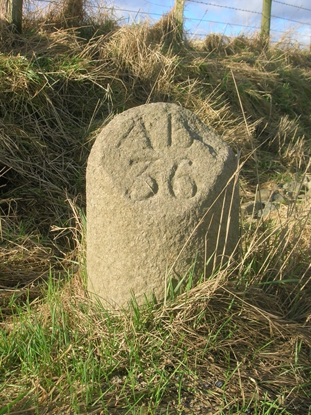
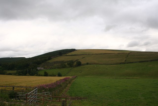
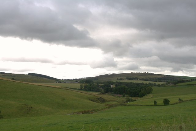
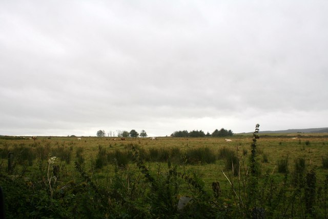
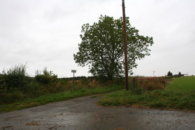
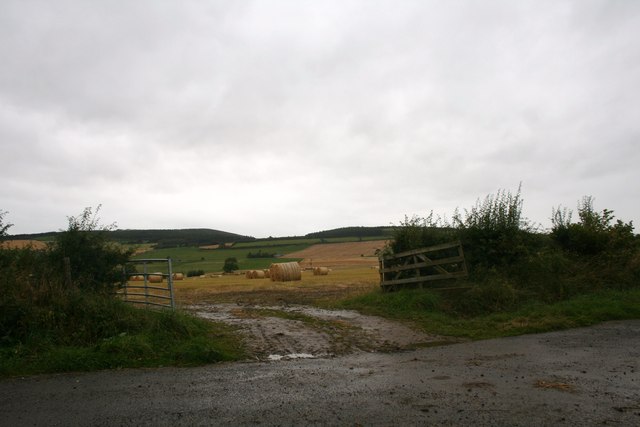
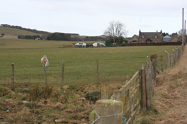
Balnoon Wood Images
Images are sourced within 2km of 57.495224/-2.6286477 or Grid Reference NJ6245. Thanks to Geograph Open Source API. All images are credited.
Balnoon Wood is located at Grid Ref: NJ6245 (Lat: 57.495224, Lng: -2.6286477)
Unitary Authority: Aberdeenshire
Police Authority: North East
What 3 Words
///oath.abandons.gurgled. Near Aberchirder, Aberdeenshire
Nearby Locations
Related Wikis
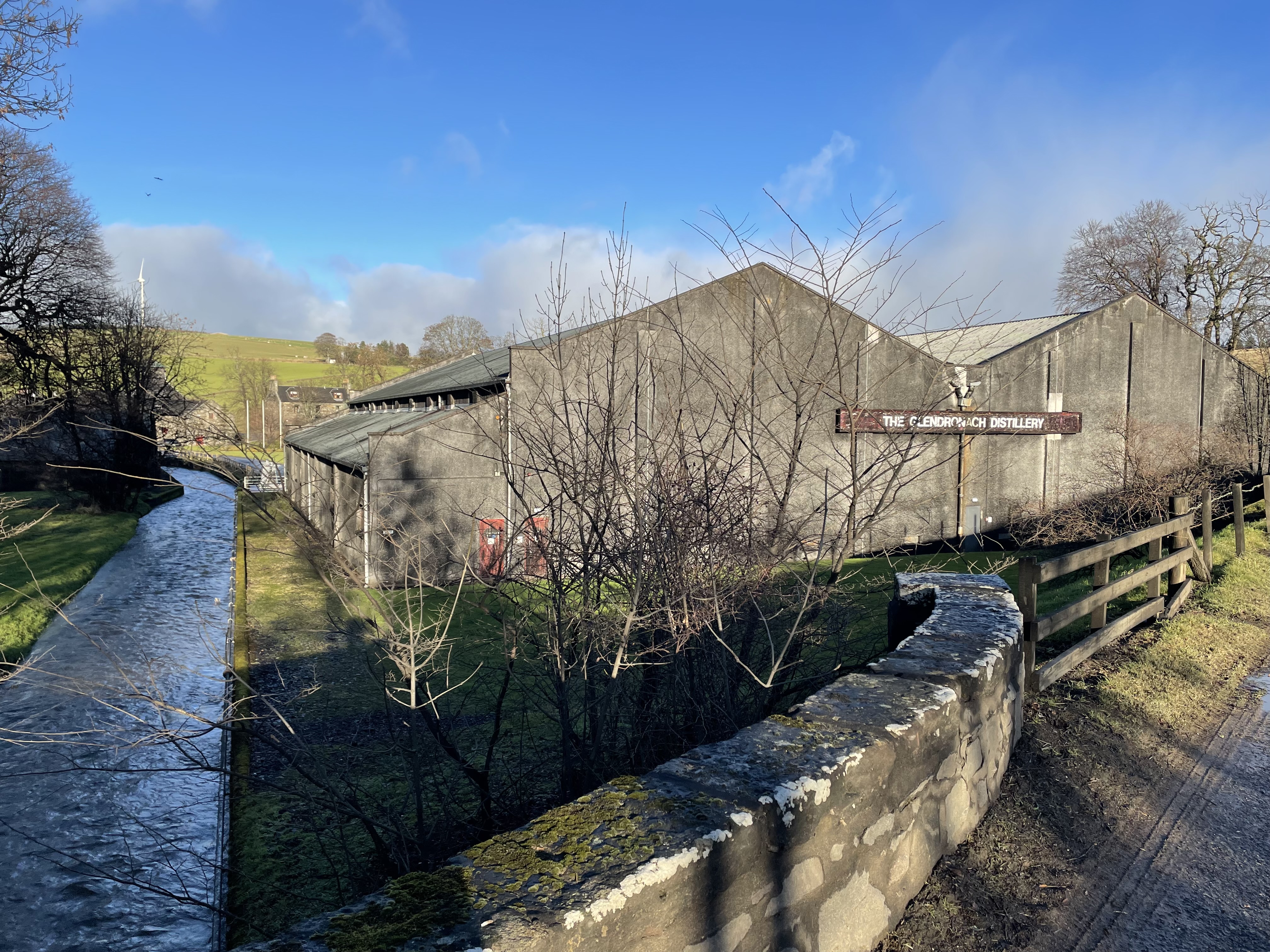
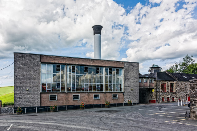
Glendronach distillery
Glendronach distillery is a Scottish whisky distillery located near Forgue, by Huntly, Aberdeenshire, in the Highland whisky district. It was owned by...

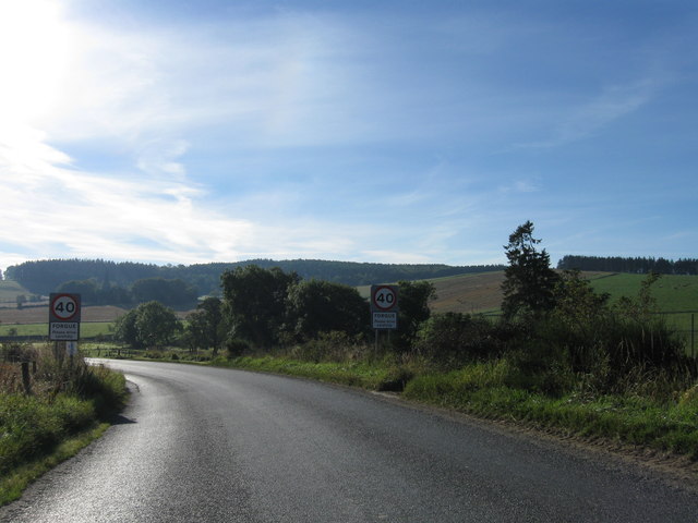
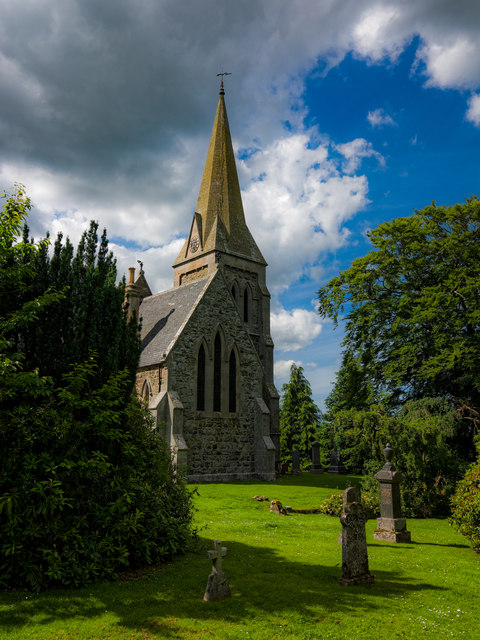
Forgue
Forgue is a hamlet in Aberdeenshire. It lies 35 miles (56 km) northwest of Aberdeen and 8 miles (13 km) northeast of Huntly. The Glendronach distillery...

Inverkeithny
Inverkeithny is a village in the Formartine area of Aberdeenshire, Scotland. The village lies near where the Burn of Forgue flows into the River Deveron...

Yonder Bognie
Yonder Bognie is a stone circle in Aberdeenshire, Scotland. It is located in an agricultural field under private ownership and is a scheduled monument...

Bognie Castle
Bognie Castle (also called Conzie Castle) is a ruined castle near Huntly and Banff in the Aberdeenshire region of Scotland. It was built in the 17th century...

Bogniebrae
Bogniebrae () is a small rural settlement in Aberdeenshire, Scotland. It is located at the junction of the A97 and B9001 roads, six miles (ten kilometres...
Frendraught Castle
Frendraught Castle or House is a 17th-century house, about 6 miles (9.7 km) east of Huntly, Aberdeenshire, Scotland, and 1 mile (1.6 km) west of Largue...
Cobairdy Castle
Cobairdy Castle was a 16th-century tower house, about 4 miles (6.4 km) north-east of Huntly, Aberdeenshire, Scotland, west of Burn of Connairdy. It may...
Nearby Amenities
Located within 500m of 57.495224,-2.6286477Have you been to Balnoon Wood?
Leave your review of Balnoon Wood below (or comments, questions and feedback).