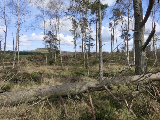
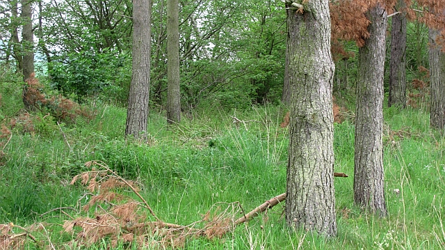
Marchfield Plantation
Wood, Forest in Berwickshire
Scotland
Marchfield Plantation
The requested URL returned error: 429 Too Many Requests
If you have any feedback on the listing, please let us know in the comments section below.
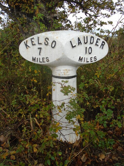
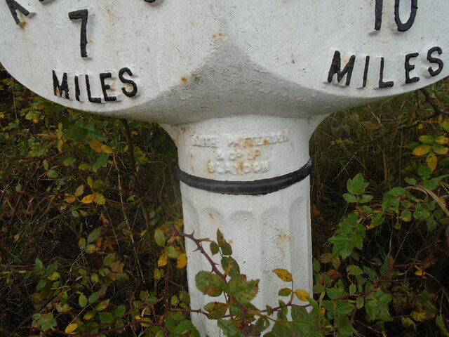
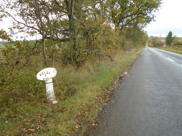
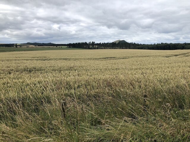
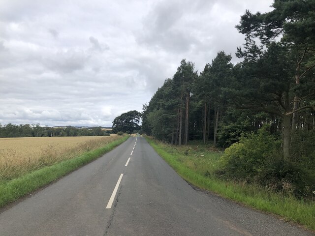
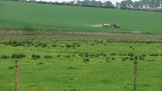
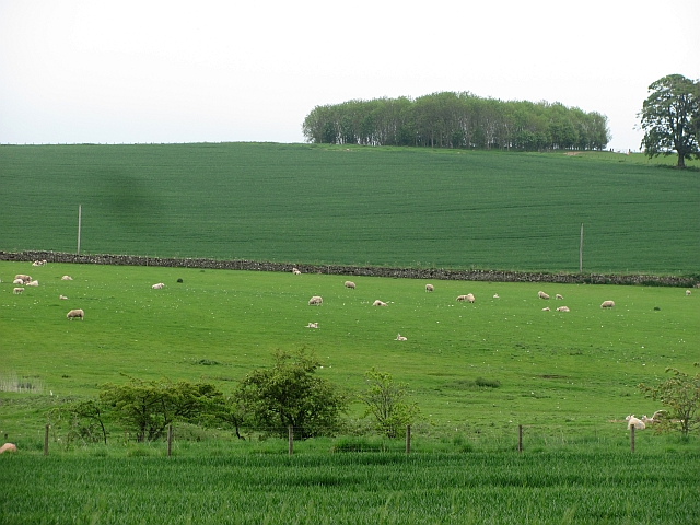
Marchfield Plantation Images
Images are sourced within 2km of 55.633705/-2.5985643 or Grid Reference NT6237. Thanks to Geograph Open Source API. All images are credited.


Marchfield Plantation is located at Grid Ref: NT6237 (Lat: 55.633705, Lng: -2.5985643)
Unitary Authority: The Scottish Borders
Police Authority: The Lothians and Scottish Borders
What 3 Words
///unicorns.station.dweller. Near Earlston, Scottish Borders
Nearby Locations
Related Wikis
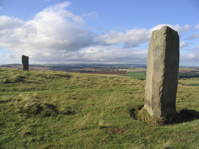
Brotherstone Hill
Brotherstone Hill is a hill near St. Boswells and the Eildon Hills in the Scottish Borders area of Scotland, with two standing stones from the megalithic...

Mellerstain House
Mellerstain House is a stately home around 8 miles (13 kilometres) north of Kelso in the Borders, Scotland. It is currently the home of George Baillie...

Smailholm
Smailholm (Scots: Smailhowm) is a small village in the historic county of Roxburghshire in south-east Scotland. It is at grid reference NT648364 and straddles...

Smailholm Tower
Smailholm Tower is a peel tower at Smailholm, around five miles (8 km) west of Kelso in the Scottish Borders. Its dramatic situation, atop a crag of Lady...
Have you been to Marchfield Plantation?
Leave your review of Marchfield Plantation below (or comments, questions and feedback).