Eastroundel Wood

Wood, Forest in Roxburghshire

Scotland

Eastroundel Wood

Prepared field and woodland near Fairnington
Prepared field and woodland near Fairnington Credit: JThomas

The requested URL returned error: 429 Too Many Requests

If you have any feedback on the listing, please let us know in the comments section below.

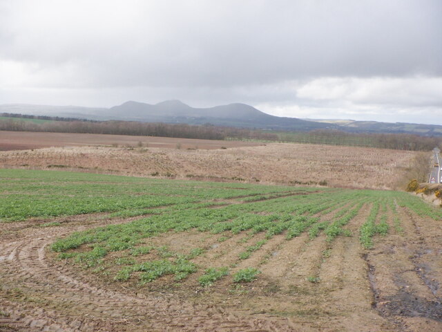
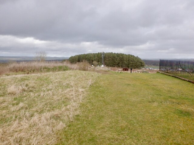
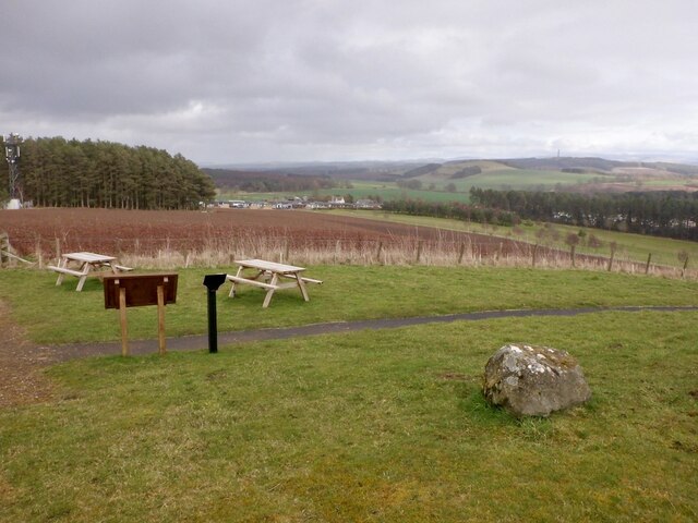
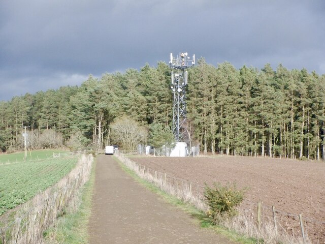
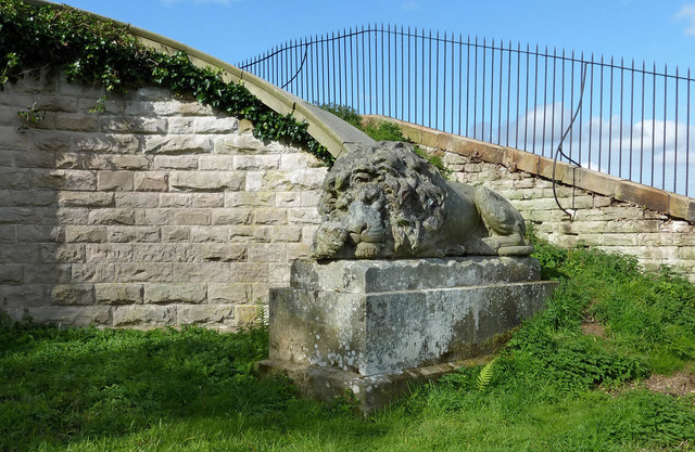
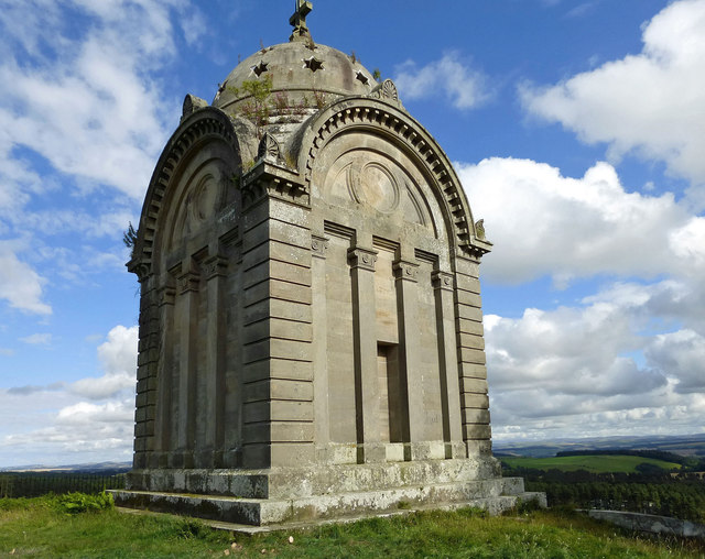
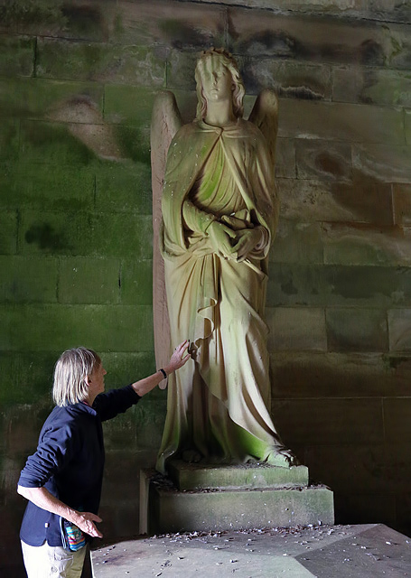
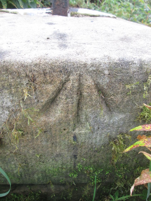
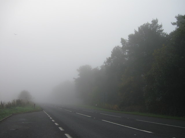
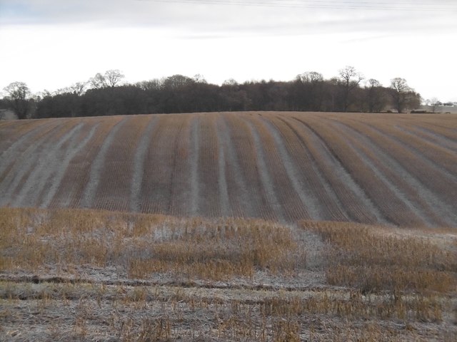
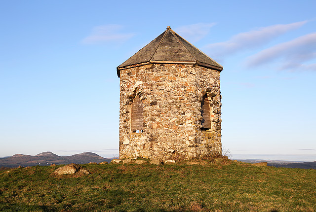
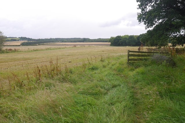
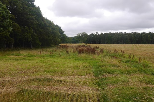
Eastroundel Wood Images

Images are sourced within 2km of 55.54511/-2.5980885 or Grid Reference NT6228. Thanks to Geograph Open Source API. All images are credited.

Prepared field and woodland near Fairnington
Minor beside woodland near Fairnington Towards Muirhouselaw.
Minor beside woodland near Fairnington
Towards Muirhouselaw.
Oilseed rape, Lilliards Edge
Summit, Gersit Law Just north of the mausoleum.
Summit, Gersit Law
Just north of the mausoleum.
Picnic tables, Gersit Law An easy walk up from the caravan park below.
Picnic tables, Gersit Law
An easy walk up from the caravan park below.
Telephone mast, Lilliards Edge Undergoing maintenance. The road runs between the Monteath Mausoleum and caravan park.
Telephone mast, Lilliards Edge
Undergoing maintenance. The road runs between the Monteath Mausoleum and caravan park.
Sleeping Lion at Monteath Mausoleum One of two lions guarding the mausoleum, now on full view with the ivy cleared away.  For a previous view, see<a href="https://www.geograph.org.uk/photo/238959">NT6126 : A lion guarding the entrance to the Monteath Mausoleum</a>
Sleeping Lion at Monteath Mausoleum
One of two lions guarding the mausoleum, now on full view with the ivy cleared away. For a previous view, seeNT6126 : A lion guarding the entrance to the Monteath Mausoleum
Monteath Mausoleum The Friends of the Mausoleum have been clearing the site, removing ivy from the structures and gorse from the grounds. However, the roof is now being attacked by grass, willow herb and silver birch. For an earlier view with information about the mausoleum, see <a href="https://www.geograph.org.uk/photo/238956">NT6126 : The Monteath Mausoleum on Gersit Law</a>
Monteath Mausoleum
The Friends of the Mausoleum have been clearing the site, removing ivy from the structures and gorse from the grounds. However, the roof is now being attacked by grass, willow herb and silver birch. For an earlier view with information about the mausoleum, see NT6126 : The Monteath Mausoleum on Gersit Law
A guardian angel inside the Monteath Mausoleum The figure gives scale to this sculpture inside the mausoleum. There are two stone angels overlooking the tomb of Sir Thomas Monteath Douglas K.C.B. For a view of the other angel, see <a href="https://www.geograph.org.uk/photo/891718">NT6126 : Inside the Monteath Mausoleum</a>.
A guardian angel inside the Monteath Mausoleum
The figure gives scale to this sculpture inside the mausoleum. There are two stone angels overlooking the tomb of Sir Thomas Monteath Douglas K.C.B. For a view of the other angel, see NT6126 : Inside the Monteath Mausoleum.
Ordnance Survey Cut Mark This OS cut mark can be found on the west angle of a roadside barn at Muirhouselaw Farm. It marks a point 136.547m above mean sea level.
Ordnance Survey Cut Mark
This OS cut mark can be found on the west angle of a roadside barn at Muirhouselaw Farm. It marks a point 136.547m above mean sea level.
Ordnance Survey Pivot This OS pivot can be found on the surrounding wall of Monteath Mausoleum.
Ordnance Survey Pivot
This OS pivot can be found on the surrounding wall of Monteath Mausoleum.
A68 lay-by
A68 lay-by
Stubble, Ancrum Moor
Baron’s Folly This octagonal stone structure with slated roof on Down Law is reputed to have been built by a local Baron as a trysting place for himself and his lover. The Eildon Hills are on the skyline to the left.
Baron’s Folly
This octagonal stone structure with slated roof on Down Law is reputed to have been built by a local Baron as a trysting place for himself and his lover. The Eildon Hills are on the skyline to the left.
Burn crossing, St Cuthbert's Way St Cuthbert's Way uses the course of Dere Street for some distance north of Jedburgh.
Burn crossing, St Cuthbert's Way
St Cuthbert's Way uses the course of Dere Street for some distance north of Jedburgh.
Dere Street Taking a break from the strip wood.
Dere Street
Taking a break from the strip wood.
Towards Morridgehall Arable land and a strip wood.
Towards Morridgehall
Arable land and a strip wood.
Dere Street The course of the Roman road.
Dere Street
The course of the Roman road.
Show me another place!

Eastroundel Wood is located at Grid Ref: NT6228 (Lat: 55.54511, Lng: -2.5980885)

Unitary Authority: The Scottish Borders

Police Authority: The Lothians and Scottish Borders

What 3 Words

///larger.brilliant.comic. Near Saint Boswells, Scottish Borders

Nearby Locations

Eastroundel Wood

Related Wikis

Battle of Ancrum Moor

The Battle of Ancrum Moor was fought during the War of the Rough Wooing in 1545. The Scottish victory put a temporary end to English incursions in the...

Monteath Mausoleum

The Monteath Mausoleum is a large landmark in the Scottish Borders near the village of Ancrum. The listed building can be seen from the A68 road just north...

Maxton railway station

Maxton railway station served the hamlet of Maxton, Roxburghshire, Scotland from 1851 to 1964 on the Kelso Line. == History == The station opened in June...

Maxton, Roxburghshire

Maxton is a hamlet and civil parish in Roxburghshire, Scotland, and part of the Scottish Borders region. Maxton lies just off the A68, south of St. Boswells...

Nearby Amenities

Located within 500m of 55.54511,-2.5980885
The data included in this document is from www.openstreetmap.org. The data is made available under ODbL.

Have you been to Eastroundel Wood?

Leave your review of Eastroundel Wood below (or comments, questions and feedback).