Whinnyhill Plantation
Wood, Forest in Berwickshire
Scotland
Whinnyhill Plantation
The requested URL returned error: 429 Too Many Requests
If you have any feedback on the listing, please let us know in the comments section below.
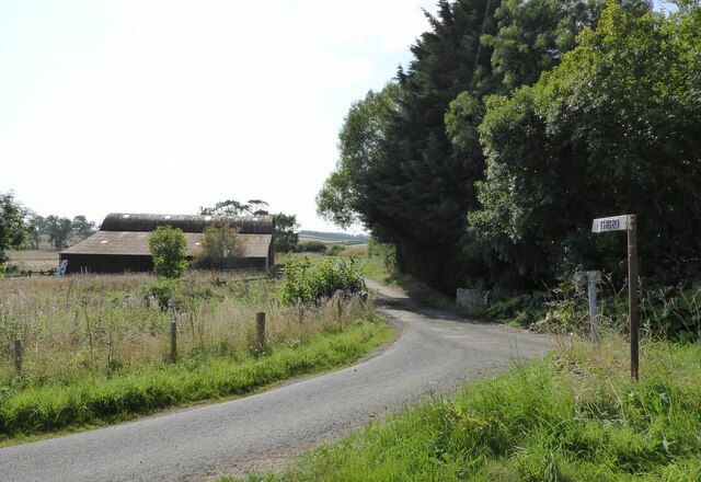
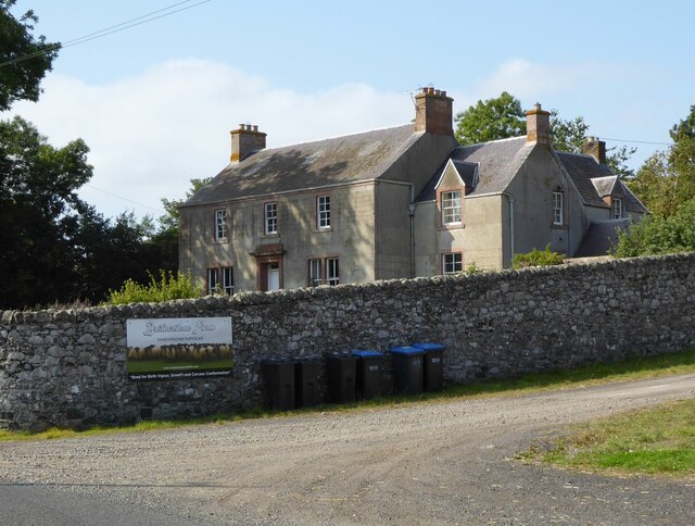
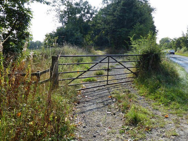
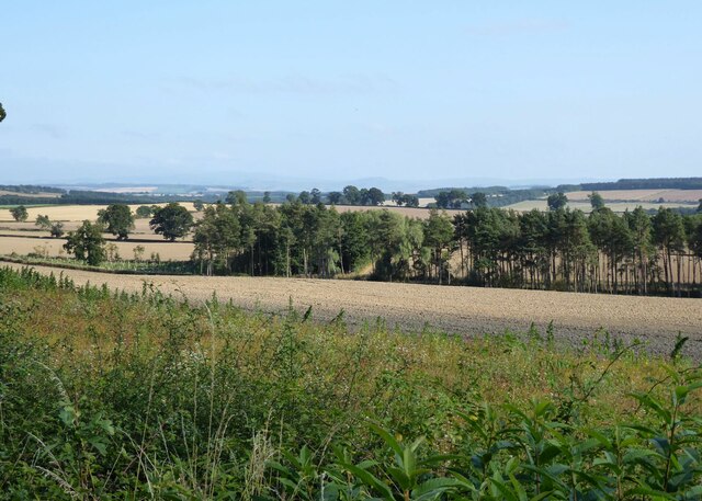
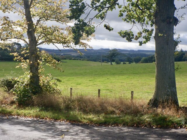
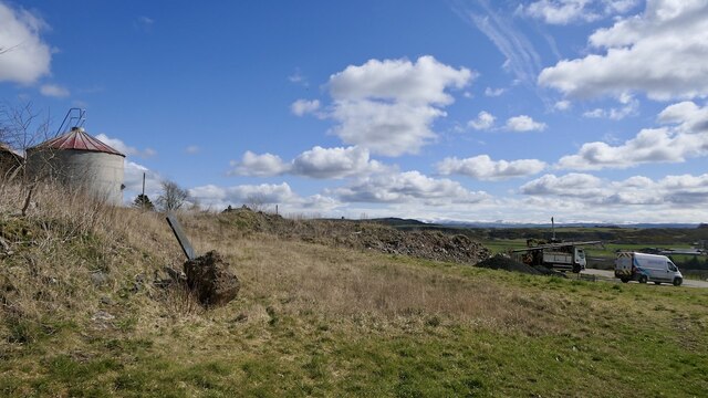
Whinnyhill Plantation Images
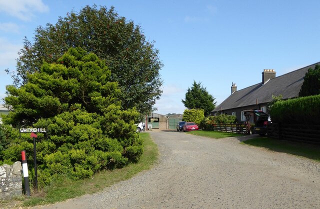
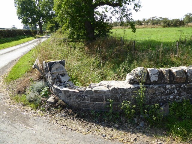
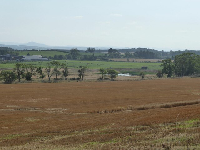
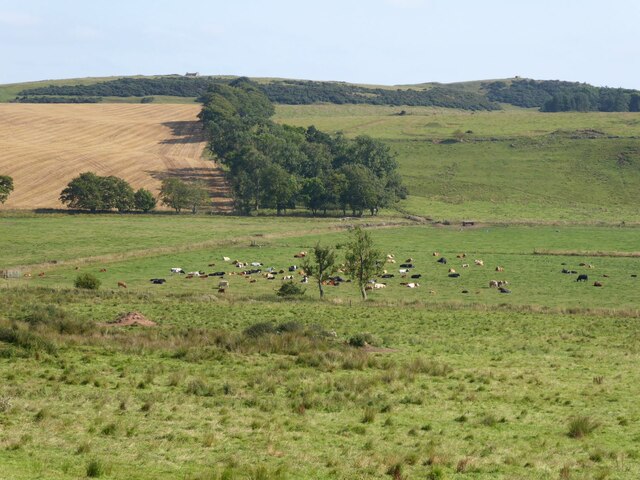
Images are sourced within 2km of 55.596224/-2.5990089 or Grid Reference NT6233. Thanks to Geograph Open Source API. All images are credited.
Whinnyhill Plantation is located at Grid Ref: NT6233 (Lat: 55.596224, Lng: -2.5990089)
Unitary Authority: The Scottish Borders
Police Authority: The Lothians and Scottish Borders
What 3 Words
///holidays.front.dorms. Near Saint Boswells, Scottish Borders
Nearby Locations
Related Wikis

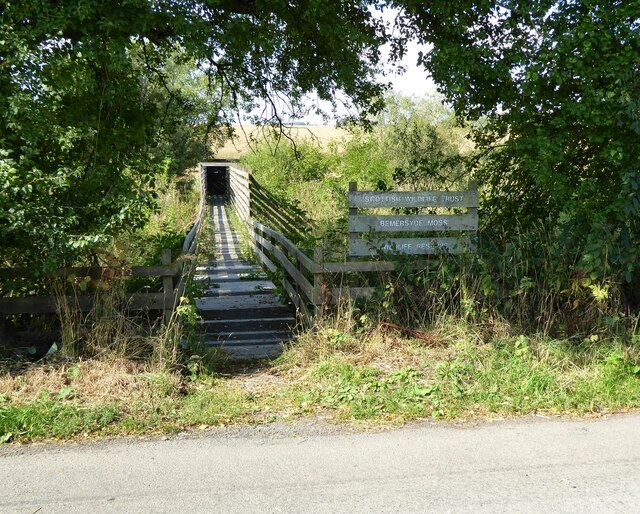
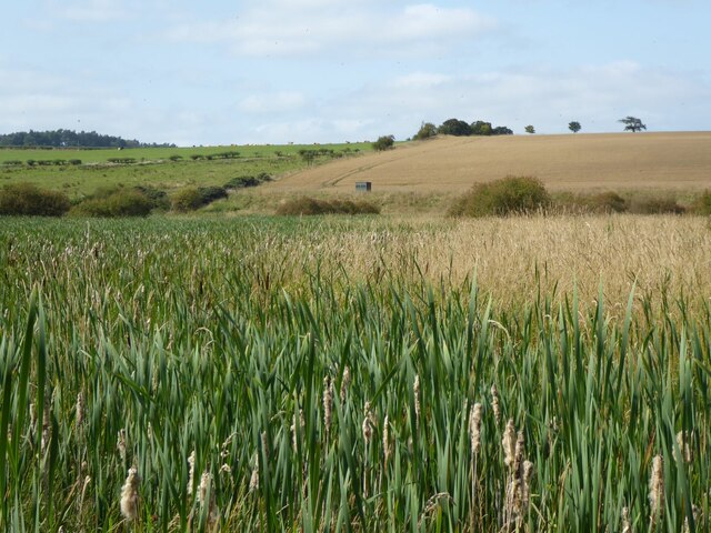
Bemersyde Moss
Bemersyde Moss is a Scottish Wildlife Trust nature reserve and a Site of Special Scientific Interest at Bemersyde in the Scottish Borders area of Scotland...

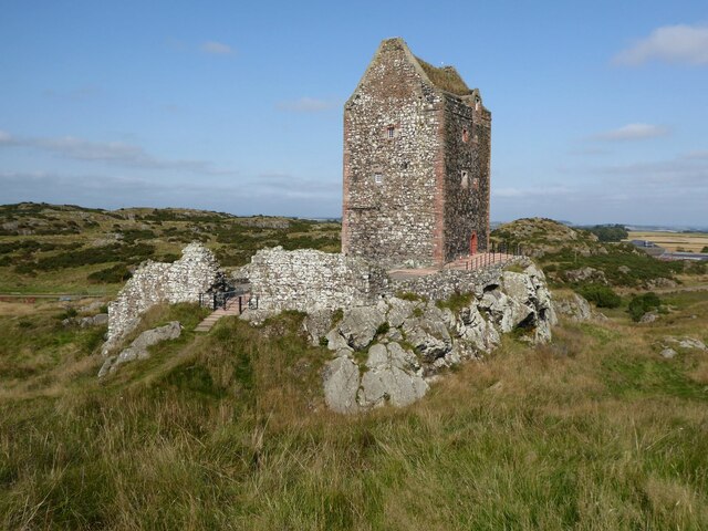
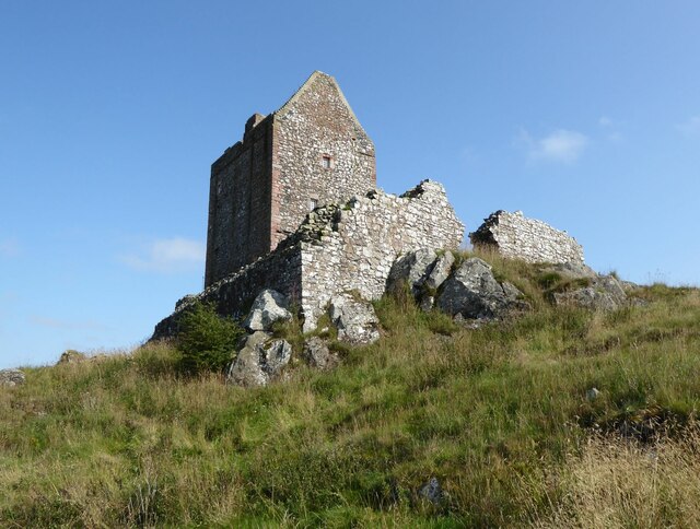
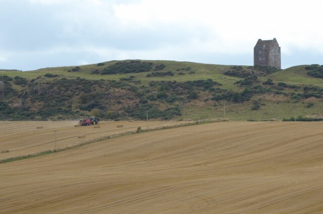
Smailholm Tower
Smailholm Tower is a peel tower at Smailholm, around five miles (8 km) west of Kelso in the Scottish Borders. Its dramatic situation, atop a crag of Lady...

Clintmains
Clintmains is a village by the River Tweed, in the parish of Mertoun, to the east of Newtown St Boswells, in the Scottish Borders area of Scotland, in...

Mertoun
Mertoun is a parish in the south-west of the historic county of Berwickshire in the Scottish Borders area of Scotland. Together with the parish of Maxton...
Nearby Amenities
Located within 500m of 55.596224,-2.5990089Have you been to Whinnyhill Plantation?
Leave your review of Whinnyhill Plantation below (or comments, questions and feedback).