Kemlin Brae
Wood, Forest in Banffshire
Scotland
Kemlin Brae
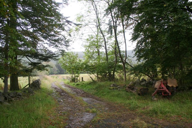
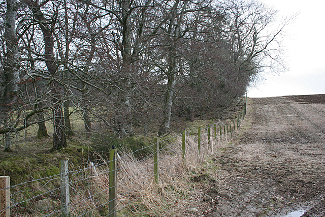
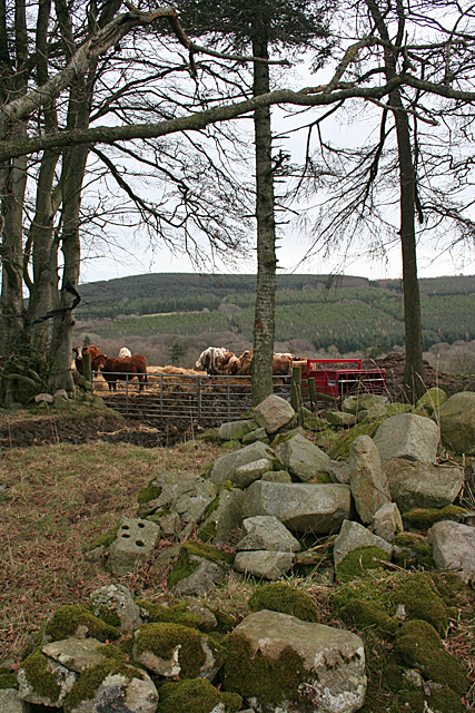
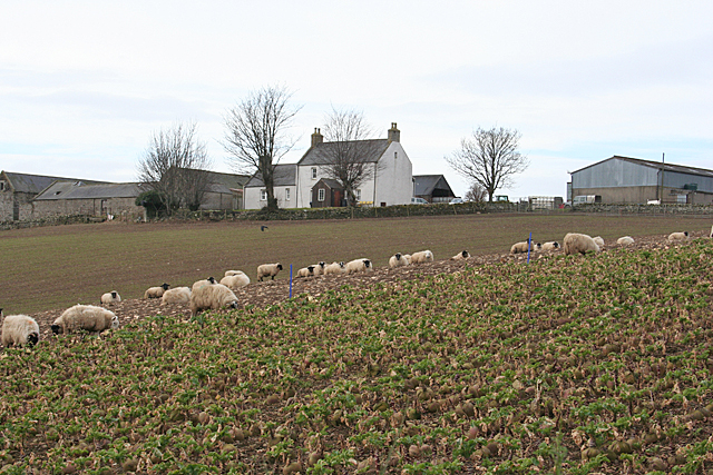
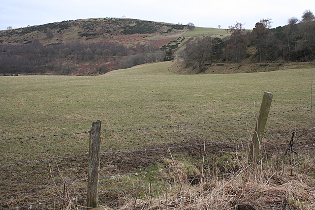
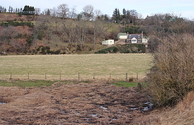
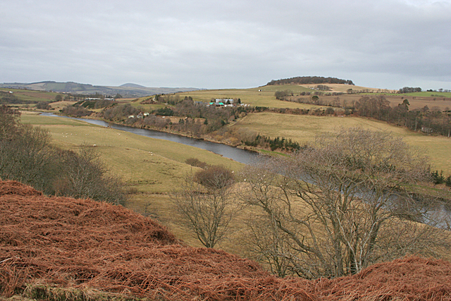
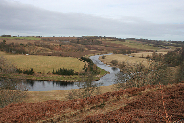
Kemlin Brae is a picturesque woodland area located in the region of Banffshire, Scotland. Situated amidst the lush green landscape, it is known for its enchanting beauty and serene ambiance. The Brae is characterized by a dense forest that is home to an array of indigenous flora and fauna.
Spread across several acres, Kemlin Brae showcases a diverse range of trees, including oak, birch, and pine, which add to the scenic charm of the area. The forest is also adorned with vibrant wildflowers, creating a colorful tapestry that delights visitors throughout the year.
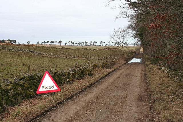
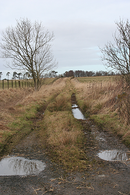
The woodland boasts a network of well-maintained trails, allowing nature enthusiasts to explore its hidden gems. These paths wind through the forest, offering stunning views of the surrounding countryside and glimpses of wildlife such as deer, foxes, and various bird species.
The tranquility of Kemlin Brae makes it an ideal spot for those seeking solace in nature. The peaceful atmosphere, coupled with the soothing sounds of birdsong and rustling leaves, offers a perfect escape from the hustle and bustle of everyday life.
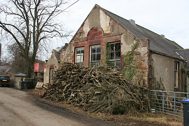
In addition to its natural beauty, the Brae also holds historical significance. It is believed that the area has been inhabited since ancient times, with traces of ancient settlements and burial sites found in the vicinity.
Kemlin Brae is a true haven for nature lovers, hikers, and history enthusiasts alike. With its captivating woodlands, breathtaking vistas, and rich heritage, it continues to be a cherished gem in the Banffshire region.
If you have any feedback on the listing, please let us know in the comments section below.
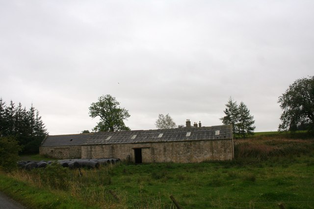
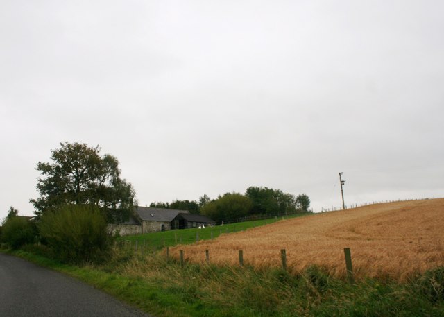
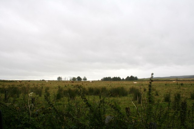
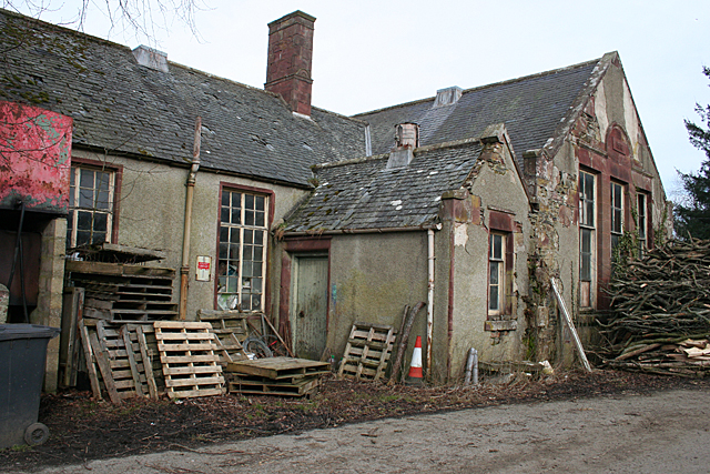
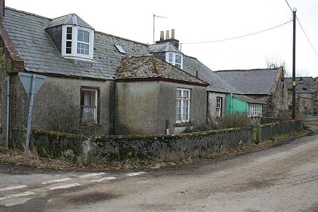
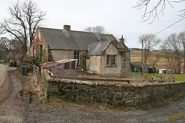
Kemlin Brae Images
Images are sourced within 2km of 57.514322/-2.6303116 or Grid Reference NJ6247. Thanks to Geograph Open Source API. All images are credited.
Kemlin Brae is located at Grid Ref: NJ6247 (Lat: 57.514322, Lng: -2.6303116)
Unitary Authority: Aberdeenshire
Police Authority: North East
What 3 Words
///slimming.indoors.pokers. Near Aberchirder, Aberdeenshire
Nearby Locations
Related Wikis

Inverkeithny
Inverkeithny is a village in the Formartine area of Aberdeenshire, Scotland. The village lies near where the Burn of Forgue flows into the River Deveron...

Yonder Bognie
Yonder Bognie is a stone circle in Aberdeenshire, Scotland. It is located in an agricultural field under private ownership and is a scheduled monument...
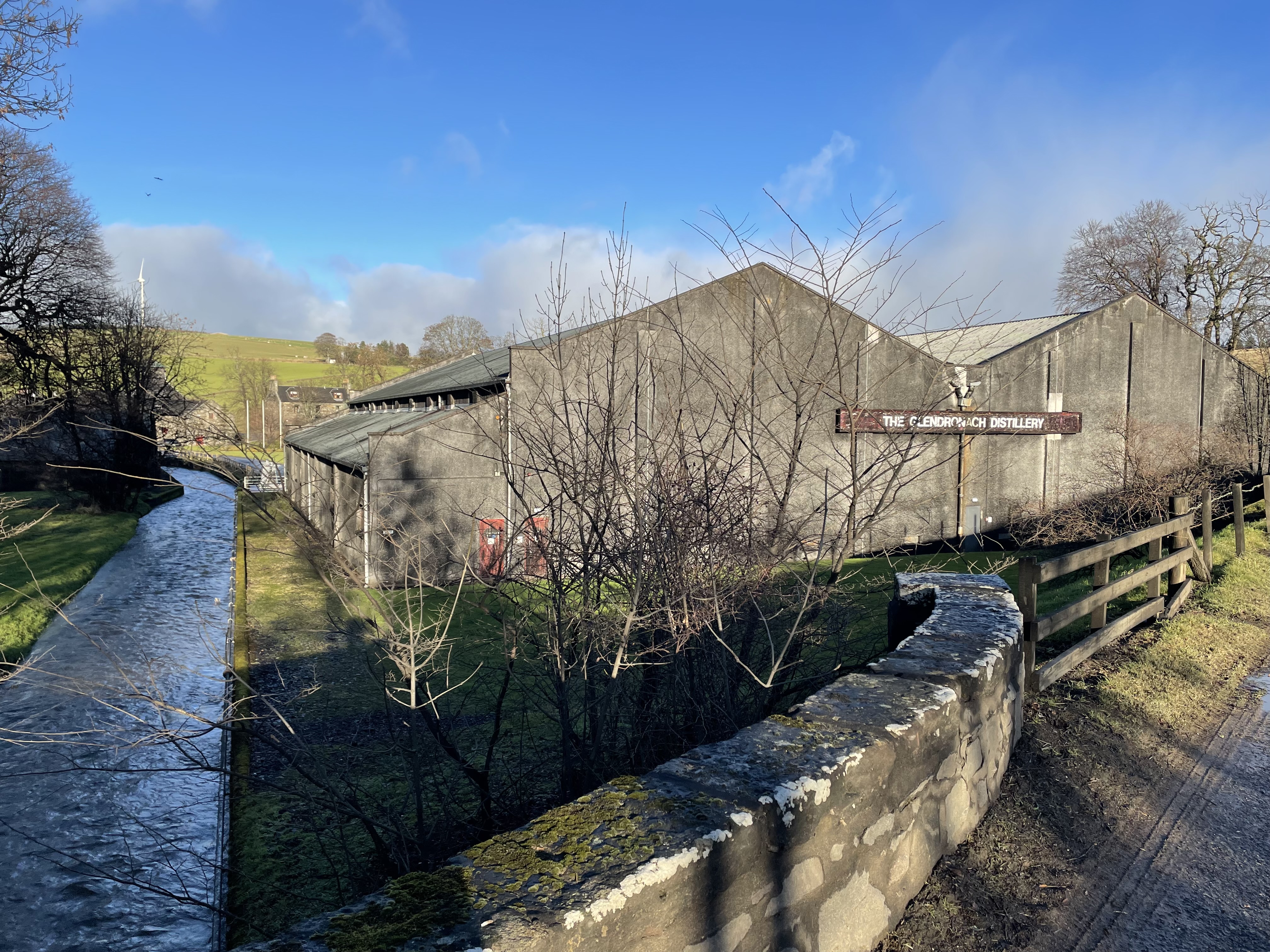
Glendronach distillery
Glendronach distillery is a Scottish whisky distillery located near Forgue, by Huntly, Aberdeenshire, in the Highland whisky district. It was owned by...

Forgue
Forgue is a hamlet in Aberdeenshire. It lies 35 miles (56 km) northwest of Aberdeen and 8 miles (13 km) northeast of Huntly. The Glendronach distillery...
Nearby Amenities
Located within 500m of 57.514322,-2.6303116Have you been to Kemlin Brae?
Leave your review of Kemlin Brae below (or comments, questions and feedback).