Kemlin Pot
Lake, Pool, Pond, Freshwater Marsh in Banffshire
Scotland
Kemlin Pot
Kemlin Pot, located in Banffshire, is a picturesque freshwater marsh nestled amidst the stunning Scottish landscape. This enchanting natural feature is a blend of a lake, pool, pond, and marsh, making it a unique and diverse ecological hotspot.
The centerpiece of Kemlin Pot is its crystal-clear water body, which covers a considerable area, providing a serene and tranquil atmosphere for visitors. The lake is fringed with vibrant aquatic vegetation, such as reeds and lily pads, creating a picturesque scene and offering a habitat for various species of birds, insects, and amphibians.
Adjacent to the lake, a pool area can be found, characterized by shallow water and a gentle current. This section is particularly popular among families and those seeking a refreshing dip on warm summer days. The pool is also home to a variety of fish species, attracting fishing enthusiasts who enjoy the challenge of catching trout, perch, and pike.
As one explores further, a small pond emerges, which is a haven for amphibians like frogs and newts. This section of Kemlin Pot is surrounded by lush vegetation and provides a safe breeding ground for these fascinating creatures. It is a delight for nature enthusiasts and photographers, offering a chance to observe and capture the unique behaviors of these amphibians.
Finally, the freshwater marsh completes the enchanting landscape of Kemlin Pot. This marsh is characterized by its marshy soil, waterlogged conditions, and diverse array of plant life. It serves as a vital habitat for numerous bird species, including ducks, herons, and swans, which can often be seen gracefully gliding through the marsh or nesting in its reeds.
Overall, Kemlin Pot in Banffshire is a captivating natural wonder that seamlessly blends the characteristics of a lake, pool, pond, and freshwater marsh. It offers a rich and diverse ecosystem that supports a wide range of flora and fauna, making it a must-visit destination for nature lovers and those seeking a peaceful retreat amidst Scotland's breathtaking scenery
If you have any feedback on the listing, please let us know in the comments section below.
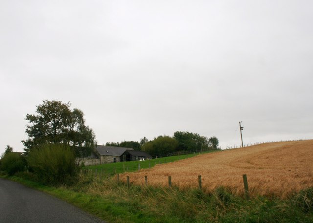
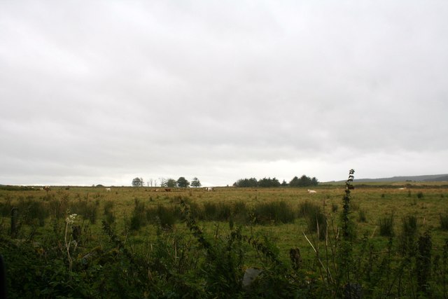
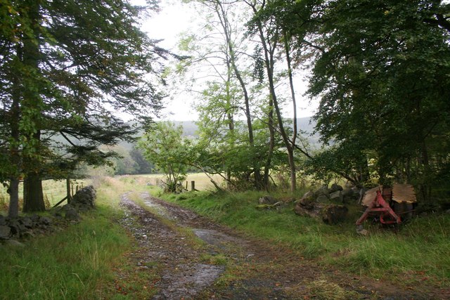
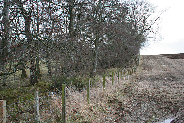
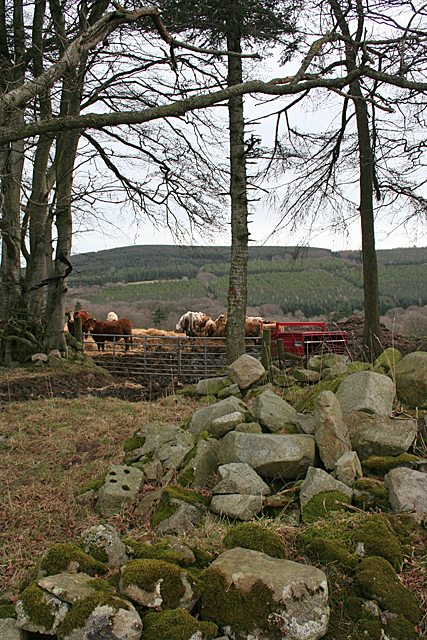
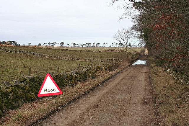
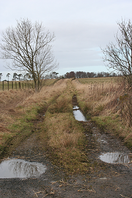
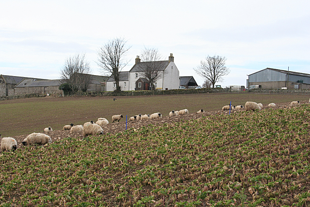
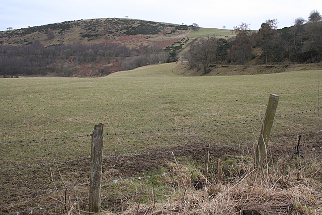
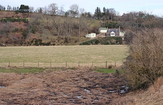
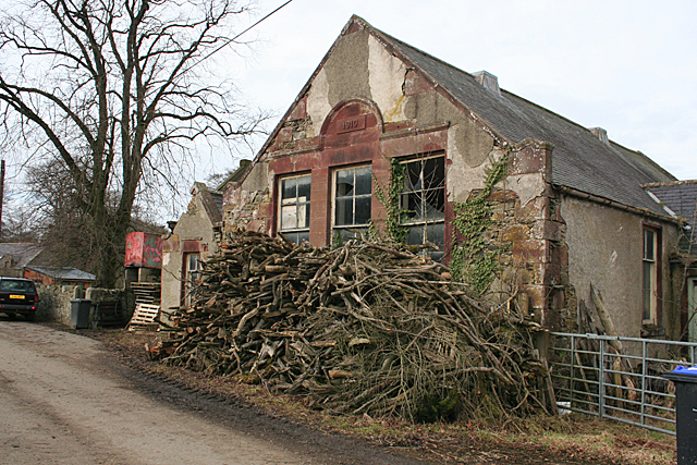
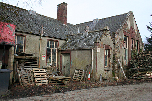
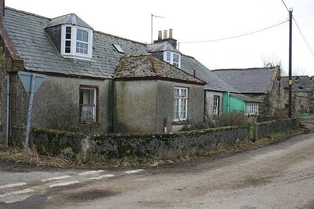
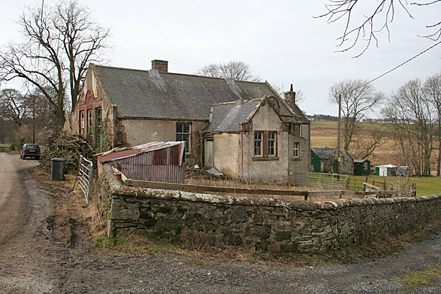
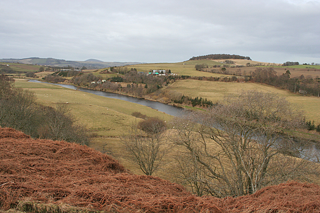
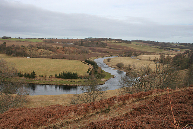
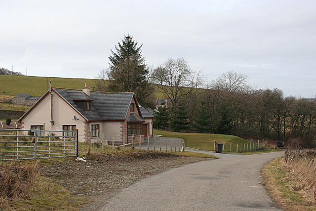
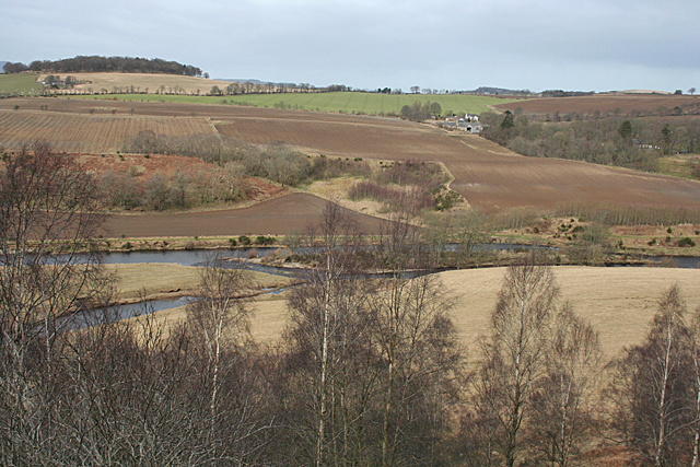
Kemlin Pot Images
Images are sourced within 2km of 57.514222/-2.6269381 or Grid Reference NJ6247. Thanks to Geograph Open Source API. All images are credited.
Kemlin Pot is located at Grid Ref: NJ6247 (Lat: 57.514222, Lng: -2.6269381)
Unitary Authority: Aberdeenshire
Police Authority: North East
What 3 Words
///tarnished.that.voucher. Near Aberchirder, Aberdeenshire
Nearby Locations
Related Wikis

Inverkeithny
Inverkeithny is a village in the Formartine area of Aberdeenshire, Scotland. The village lies near where the Burn of Forgue flows into the River Deveron...

Yonder Bognie
Yonder Bognie is a stone circle in Aberdeenshire, Scotland. It is located in an agricultural field under private ownership and is a scheduled monument...
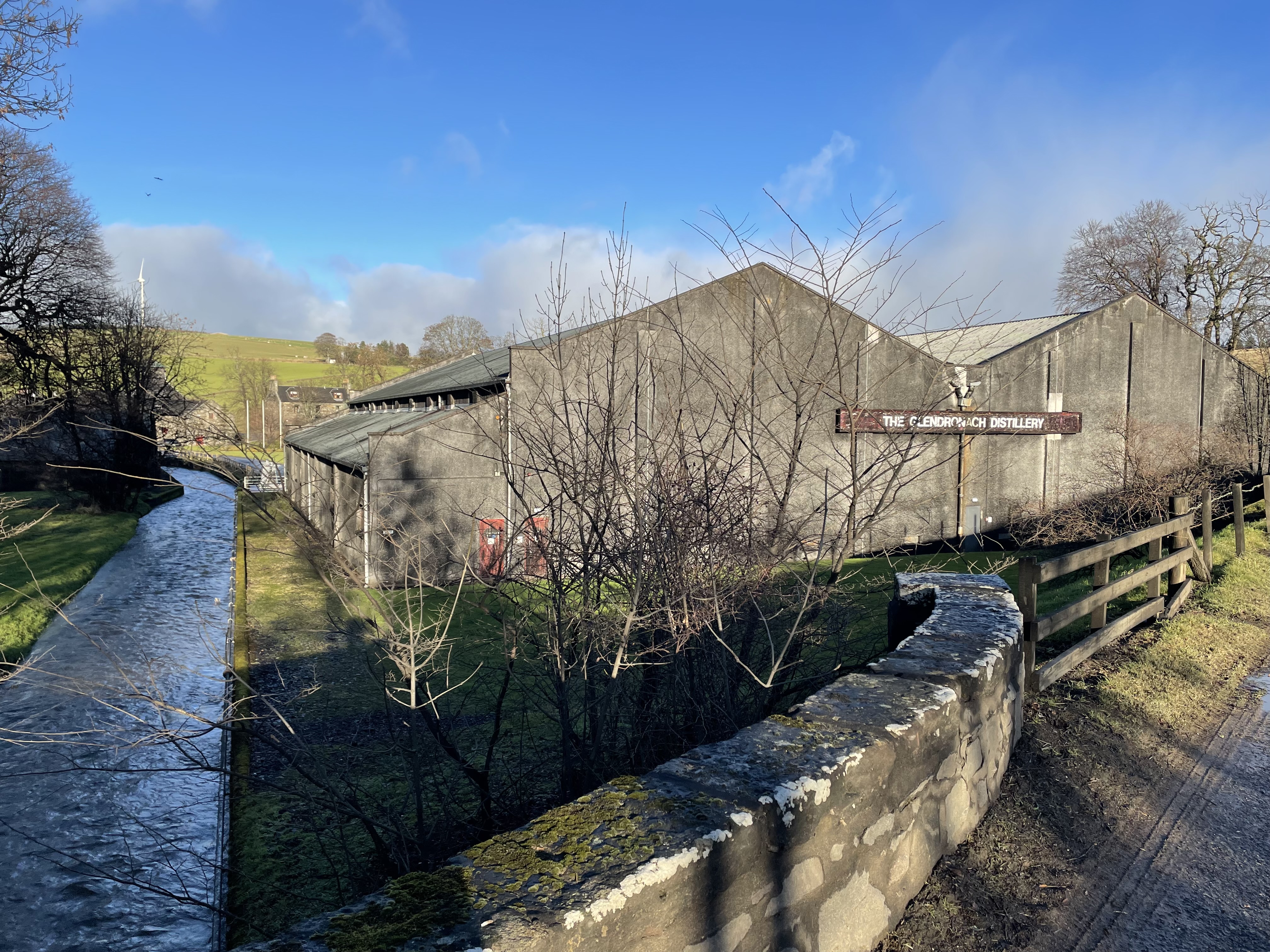
Glendronach distillery
Glendronach distillery is a Scottish whisky distillery located near Forgue, by Huntly, Aberdeenshire, in the Highland whisky district. It was owned by...

Forgue
Forgue is a hamlet in Aberdeenshire. It lies 35 miles (56 km) northwest of Aberdeen and 8 miles (13 km) northeast of Huntly. The Glendronach distillery...
Nearby Amenities
Located within 500m of 57.514222,-2.6269381Have you been to Kemlin Pot?
Leave your review of Kemlin Pot below (or comments, questions and feedback).