Undermoss Strip
Wood, Forest in Roxburghshire
Scotland
Undermoss Strip
Undermoss Strip, located in Roxburghshire, is a captivating woodland area known for its dense forest and rich biodiversity. Spread across an area of approximately [X] square kilometers, it is a nature lover's paradise.
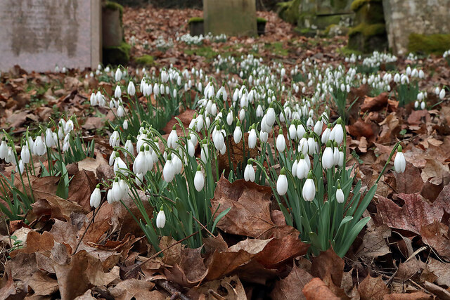
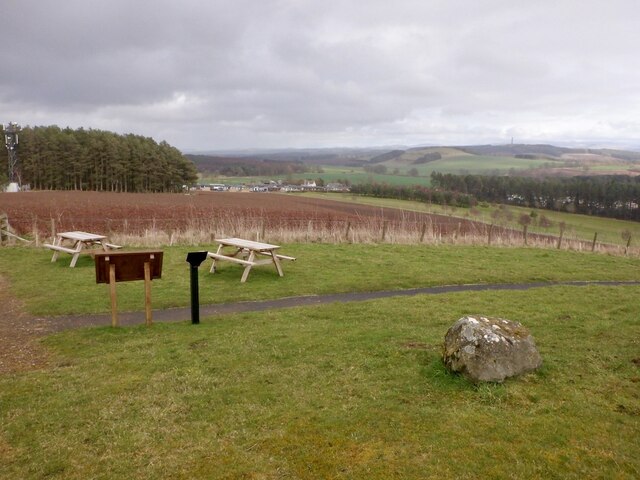
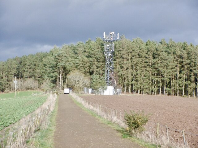
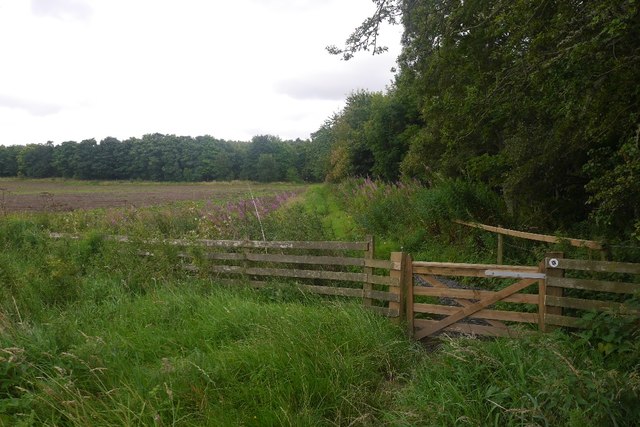
The forest of Undermoss Strip is predominantly composed of native tree species, including oak, beech, and birch. These towering trees create a thick canopy, providing shade and shelter for a diverse range of flora and fauna. The forest floor is covered with a lush carpet of moss and ferns, adding to the enchanting ambiance of the woodland.
The biodiversity in Undermoss Strip is remarkable, with a plethora of wildlife calling this forest home. Visitors may spot red squirrels darting through the branches, while deer and hares can be seen grazing in the clearings. The forest is also a haven for birdwatchers, with a variety of species, such as woodpeckers, owls, and songbirds, filling the air with their melodic calls.
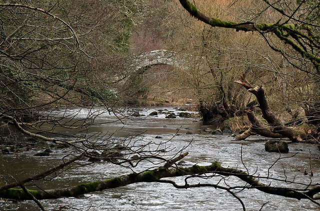
For those seeking outdoor adventures, Undermoss Strip offers numerous walking trails that wind through the forest, allowing visitors to immerse themselves in the tranquility and natural beauty of the surroundings. The trails cater to different levels of fitness and interests, from leisurely strolls to more challenging hikes.
Undermoss Strip is not only a haven for wildlife enthusiasts and hikers but also plays a crucial role in preserving the local ecosystem. The forest acts as a carbon sink, sequestering carbon dioxide and mitigating the effects of climate change. It also provides vital habitats for numerous rare and endangered species, contributing to the overall biodiversity of the region.
In conclusion, Undermoss Strip in Roxburghshire is a captivating woodland area that offers a remarkable experience for nature lovers. Its dense forest, diverse wildlife, and scenic walking trails make it a must-visit destination for those seeking solace in the beauty of nature.
If you have any feedback on the listing, please let us know in the comments section below.
Undermoss Strip Images
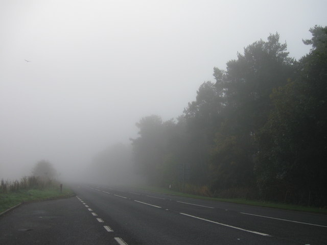
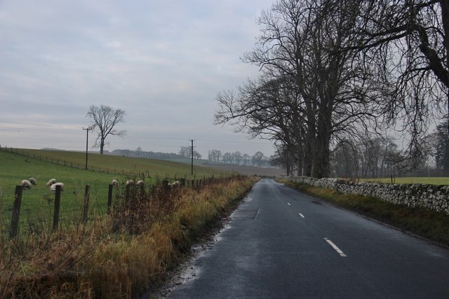
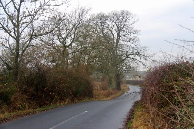
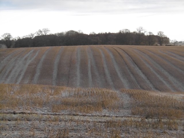
Images are sourced within 2km of 55.529249/-2.6093805 or Grid Reference NT6126. Thanks to Geograph Open Source API. All images are credited.

Undermoss Strip is located at Grid Ref: NT6126 (Lat: 55.529249, Lng: -2.6093805)
Unitary Authority: The Scottish Borders
Police Authority: The Lothians and Scottish Borders
What 3 Words
///solutions.tester.packet. Near Saint Boswells, Scottish Borders
Nearby Locations
Related Wikis

Monteath Mausoleum
The Monteath Mausoleum is a large landmark in the Scottish Borders near the village of Ancrum. The listed building can be seen from the A68 road just north...

Battle of Ancrum Moor
The Battle of Ancrum Moor was fought during the War of the Rough Wooing in 1545. The Scottish victory put a temporary end to English incursions in the...
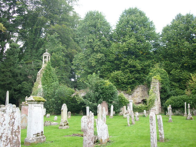
Ancrum Old Parish Church
Ancrum Old Parish Church is situated just over half a mile north west of the village of Ancrum in the Scottish Borders area of Scotland, on the B4600 road...

Ancrum
Ancrum (Scottish Gaelic: Alan Crom) is a village in the Borders area of Scotland, 5 km (3.1 mi) northwest of Jedburgh. The village — which currently has...
Nearby Amenities
Located within 500m of 55.529249,-2.6093805Have you been to Undermoss Strip?
Leave your review of Undermoss Strip below (or comments, questions and feedback).