Woodhead Moss
Downs, Moorland in Roxburghshire
Scotland
Woodhead Moss
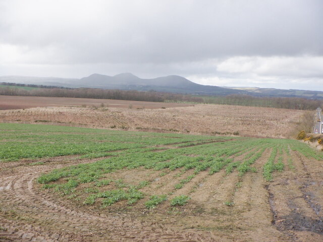
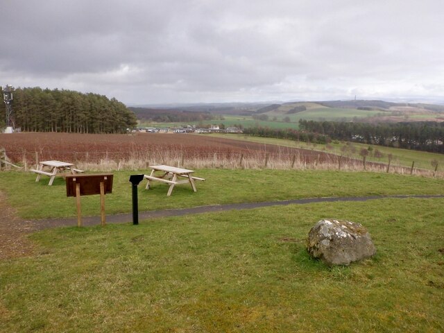
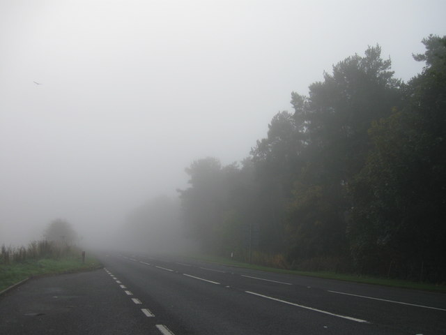
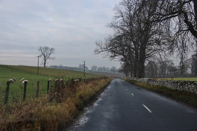
Woodhead Moss is a picturesque area located in the region of Roxburghshire, Scotland. It is an extensive expanse of downs and moorland, offering a stunning natural landscape for visitors and locals alike. The moss is characterized by its diverse flora and fauna, making it a haven for nature enthusiasts and wildlife lovers.
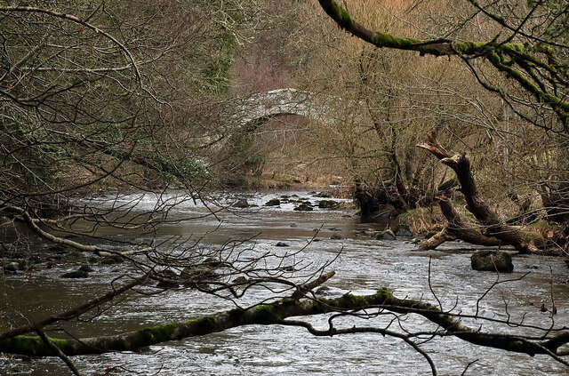
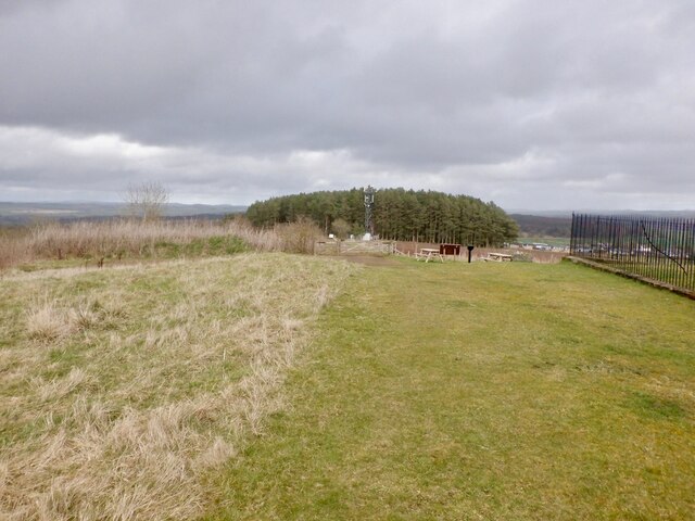
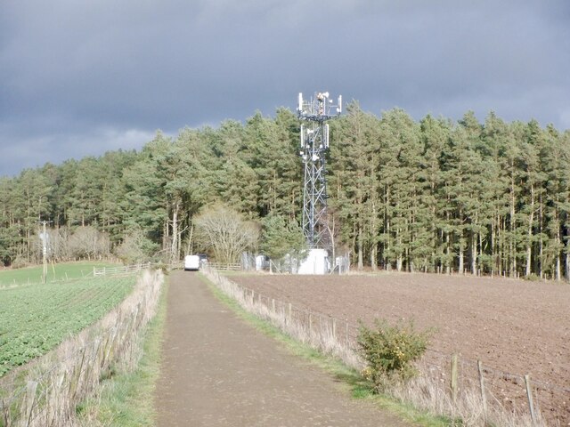
Covering a vast area, Woodhead Moss boasts a variety of habitats, ranging from heath and bog to grassy meadows. The terrain is predominantly hilly, with rolling slopes and undulating landforms, creating a visually captivating panorama. The moss is interspersed with small streams and rivulets, adding to its charm and providing a source of water for the surrounding vegetation.
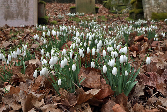
The vegetation in Woodhead Moss is rich and varied. Heather dominates the landscape, creating a vibrant and colorful display during the blooming season. Other plant species, such as bilberry, cotton grass, and mosses, can also be found, contributing to the diverse ecosystem of the area.
The moss is home to a wide array of wildlife, making it a perfect spot for birdwatching and wildlife spotting. Visitors may have the chance to spot birds like curlews, lapwings, and stonechats, as well as mammals such as hares and foxes. The moss provides an important habitat for many rare and protected species, making it a significant conservation area.
Overall, Woodhead Moss in Roxburghshire offers a tranquil and captivating natural environment, with its stunning downs and moorland providing a haven for both nature enthusiasts and wildlife alike.
If you have any feedback on the listing, please let us know in the comments section below.
Woodhead Moss Images
Images are sourced within 2km of 55.527978/-2.6120222 or Grid Reference NT6126. Thanks to Geograph Open Source API. All images are credited.
Woodhead Moss is located at Grid Ref: NT6126 (Lat: 55.527978, Lng: -2.6120222)
Unitary Authority: The Scottish Borders
Police Authority: The Lothians and Scottish Borders
What 3 Words
///tougher.makeup.finalists. Near Saint Boswells, Scottish Borders
Nearby Locations
Related Wikis

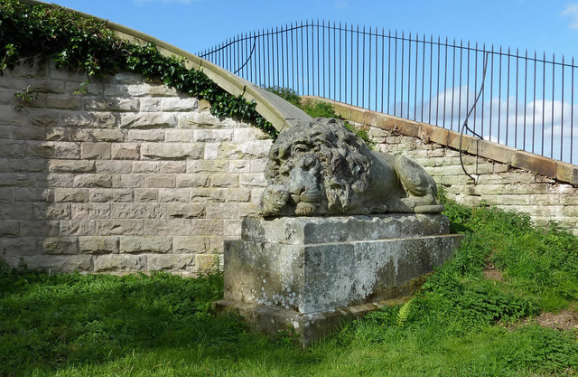
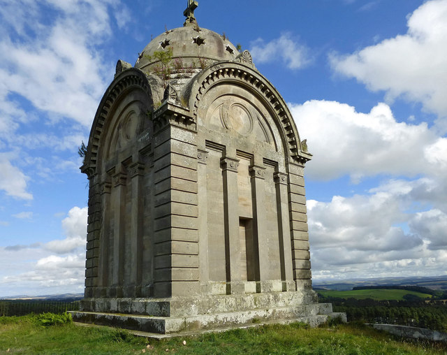
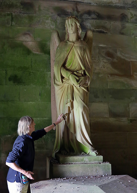
Monteath Mausoleum
The Monteath Mausoleum is a large landmark in the Scottish Borders near the village of Ancrum. The listed building can be seen from the A68 road just north...

Battle of Ancrum Moor
The Battle of Ancrum Moor was fought during the War of the Rough Wooing in 1545. The Scottish victory put a temporary end to English incursions in the...
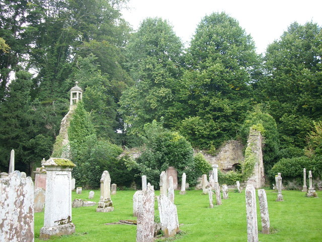
Ancrum Old Parish Church
Ancrum Old Parish Church is situated just over half a mile north west of the village of Ancrum in the Scottish Borders area of Scotland, on the B4600 road...

Ancrum
Ancrum (Scottish Gaelic: Alan Crom) is a village in the Borders area of Scotland, 5 km (3.1 mi) northwest of Jedburgh.The village — which currently has...
Nearby Amenities
Located within 500m of 55.527978,-2.6120222Have you been to Woodhead Moss?
Leave your review of Woodhead Moss below (or comments, questions and feedback).