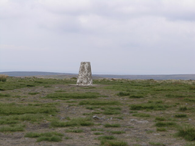
Saddle Fell

Downs, Moorland in Lancashire Ribble Valley

England

Saddle Fell

Old Boundary Marker on the way to Saddle Fell, Chipping War Department Boundary Marker beside a path from Saddle End Farm to Saddle Fell. Chipping parish. Inscribed W ↑ D / No 34. See also <a title="https://www.geograph.org.uk/photo/2243015" href="https://www.geograph.org.uk/photo/2243015">Link</a>.

Milestone Society National ID: LA_WDCHIP34em
Old Boundary Marker on the way to Saddle Fell, Chipping Credit: S Lister

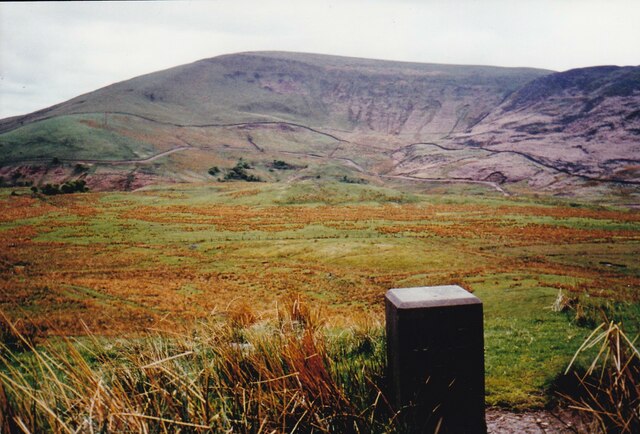
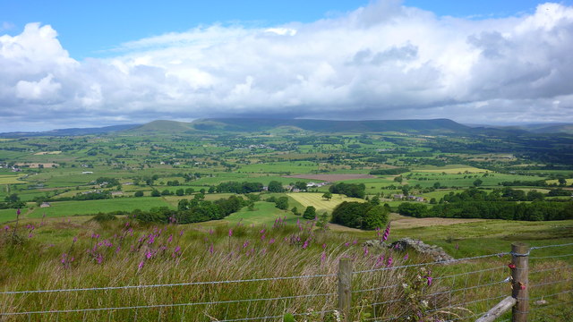
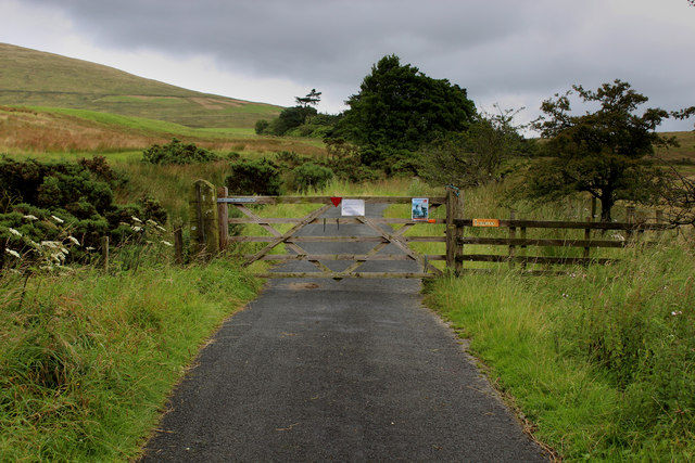
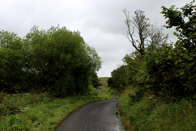
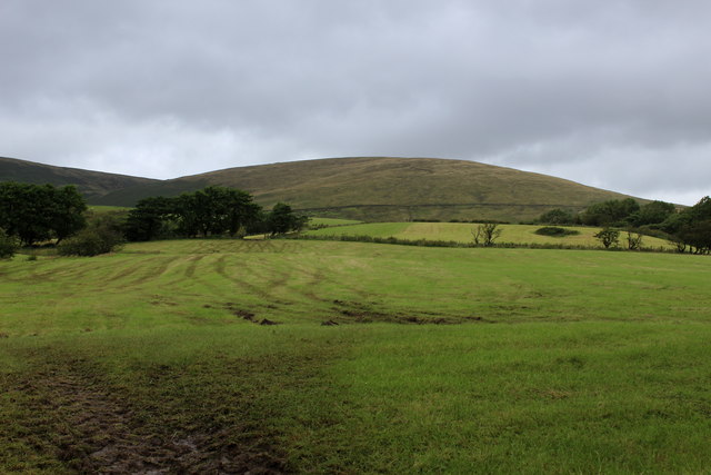
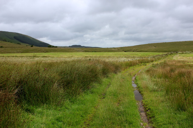
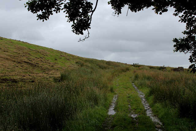
Saddle Fell is a picturesque area located in the county of Lancashire, England. It is known for its stunning natural beauty, consisting of downs and moorland landscapes. The region is characterized by rolling hills, vast open spaces, and breathtaking views that stretch as far as the eye can see.

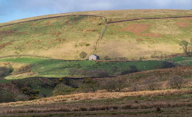
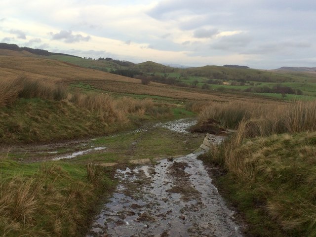
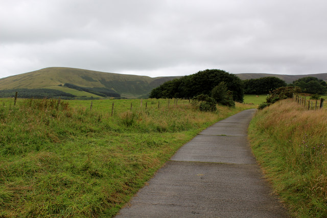
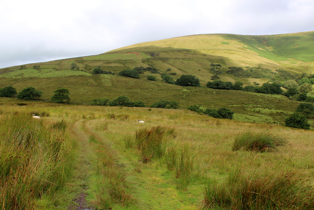
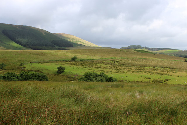
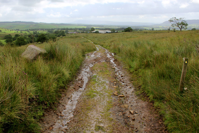
The downs of Saddle Fell are characterized by their gentle slopes and lush green meadows. These areas are ideal for farming and grazing livestock, and many farmers take advantage of the fertile land to raise sheep and cattle. The downs are also a popular spot for hikers and nature enthusiasts, who can enjoy peaceful walks and take in the stunning panoramic vistas.

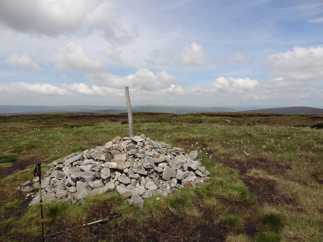
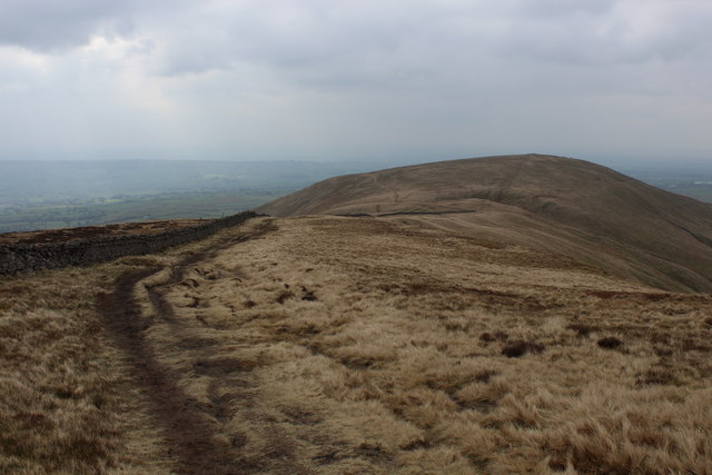
The moorland in Saddle Fell offers a contrasting landscape, featuring rugged terrain, heather-covered hills, and expansive stretches of open land. It is a haven for wildlife, with many species of birds, including the iconic red grouse, making their home in the area. The moors also provide a habitat for various other animals, such as rabbits, foxes, and even the occasional deer.

The climate in Saddle Fell is typically mild, with cool summers and mild winters. The region experiences a fair amount of rainfall throughout the year, which contributes to the lush vegetation and vibrant colors that paint the landscape.

Overall, Saddle Fell in Lancashire is a natural treasure, offering visitors and residents alike a chance to immerse themselves in the beauty of the downs and moorland, and to experience the tranquility and serenity of rural England.

If you have any feedback on the listing, please let us know in the comments section below.
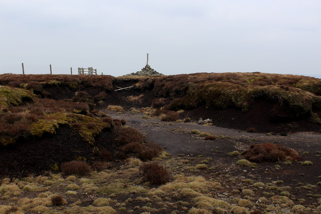
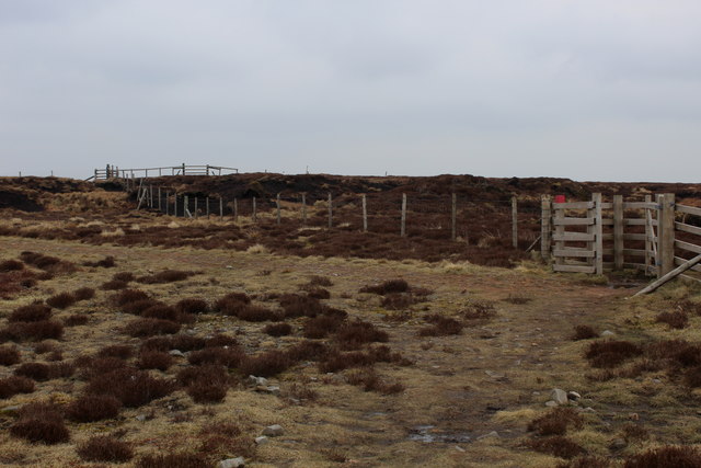
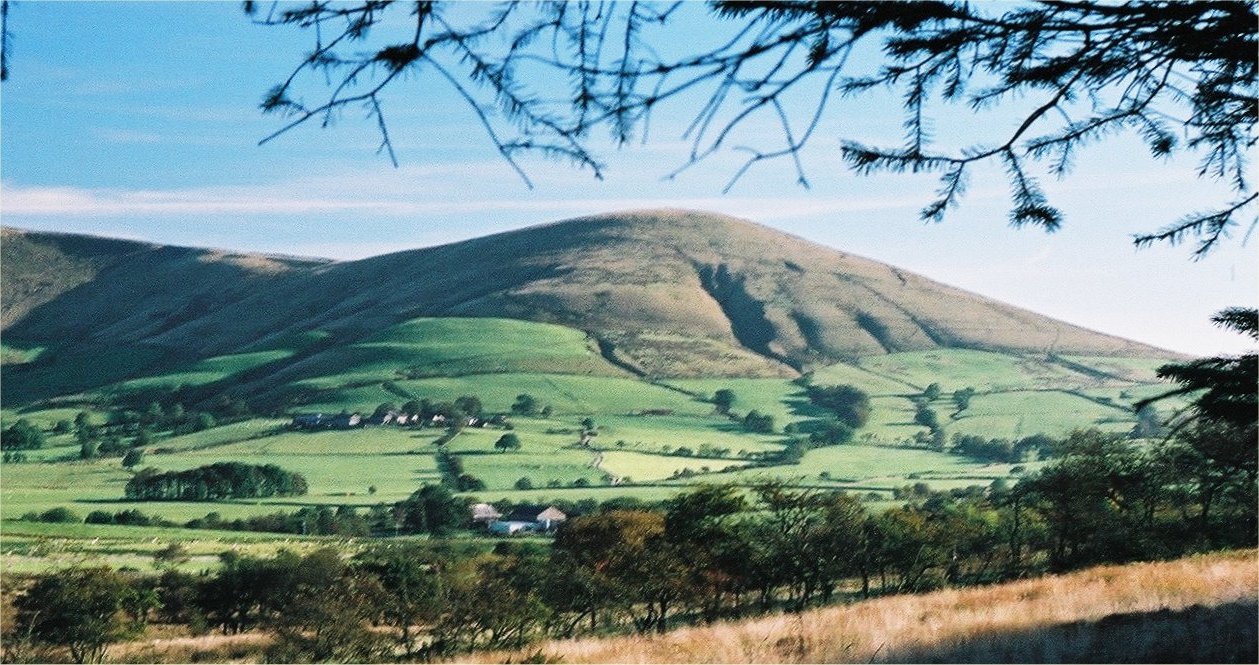
Saddle Fell Images

Images are sourced within 2km of 53.9147/-2.5878294 or Grid Reference SD6146. Thanks to Geograph Open Source API. All images are credited.

Old Boundary Marker on the way to Saddle Fell, Chipping War Department Boundary Marker beside a path from Saddle End Farm to Saddle Fell. Chipping parish. Inscribed W ↑ D / No 34. See also <a title="https://www.geograph.org.uk/photo/2243015" href="https://www.geograph.org.uk/photo/2243015">Link</a>.

Milestone Society National ID: LA_WDCHIP34em
Old Boundary Marker on the way to Saddle Fell, Chipping
War Department Boundary Marker beside a path from Saddle End Farm to Saddle Fell. Chipping parish. Inscribed W ↑ D / No 34. See also Link. Milestone Society National ID: LA_WDCHIP34em
Fair Snape Fell trig
From Longridge Fell to Chipping and Fells Beyond
Ward's End Barn at Ward's End.
Ward's End
Barn at Ward's End.
Junction of tracks
Junction of tracks
Cairn on the top With views across Bowland towards the Pennines
Cairn on the top
With views across Bowland towards the Pennines
Access Lane to Saddle End Farm
End of The Road Access to Burnslack only, beyond the gate.
End of The Road
Access to Burnslack only, beyond the gate.
Road to Burnslack
Road to Burnslack
View towards Burnslack Fell
Grass Track on Ginney Hey Long track that crosses Stanley, before desceding towards Lickhurst Farm
Grass Track on Ginney Hey
Long track that crosses Stanley, before desceding towards Lickhurst Farm
Grass Track approaching the Ruins of High Barn
Grass Track on Stanley Track on Stanley heading in the direction of Burnslack Fell
Grass Track on Stanley
Track on Stanley heading in the direction of Burnslack Fell
View towards Dinkling Green Hey
Track heading East towards Lickhurst Farm The definitive map marks this track as having public access - although the marker clearly indicates this as a public footpath.
Track heading East towards Lickhurst Farm
The definitive map marks this track as having public access - although the marker clearly indicates this as a public footpath.
On the Ridge between Fair Snape Fell and Parlick A really tremendous ridge walk between these two summits - looking south towards Parlick
On the Ridge between Fair Snape Fell and Parlick
A really tremendous ridge walk between these two summits - looking south towards Parlick
Highest Point on Fair Snape Fell This lonely cairn marks the highest point on the Fair Snape Fell plateau, a good kilometre away from the trig point.
Highest Point on Fair Snape Fell
This lonely cairn marks the highest point on the Fair Snape Fell plateau, a good kilometre away from the trig point.
Boundary Fencing on the Fair Snape Fell Plateau
Show me another place!

Saddle Fell is located at Grid Ref: SD6146 (Lat: 53.9147, Lng: -2.5878294)

Administrative County: Lancashire

District: Ribble Valley

Police Authority: Lancashire

What 3 Words

///excavated.polite.backpack. Near Longridge, Lancashire

Nearby Locations

Saddle Fell

Related Wikis

Bowland-with-Leagram

Bowland-with-Leagram is a civil parish in the Ribble Valley district of Lancashire, England, covering part of the Forest of Bowland. According to the census...

Parlick

Parlick (also known as Parlick Pike) is an approximately cone-shaped steep-sided hill at the extreme south of the main range of Bowland fells in Lancashire...

Kirk Mill

Kirk Mill is an early example of an Arkwright-type cotton mill and a grade II listed building in Chipping, Lancashire, in Ribble Valley, to the north of...

St Bartholomew's Church, Chipping

St Bartholomew's Church is in the village of Chipping, Lancashire, England. It is an active Anglican parish church in the deanery of Whalley, the archdeaconry...

Nearby Amenities

Located within 500m of 53.9147,-2.5878294
Note: PROW ends here
Lat/Long: 53.9174637/-2.5932989
The data included in this document is from www.openstreetmap.org. The data is made available under ODbL.

Have you been to Saddle Fell?

Leave your review of Saddle Fell below (or comments, questions and feedback).