Ellerdine Heath
Downs, Moorland in Shropshire
England
Ellerdine Heath
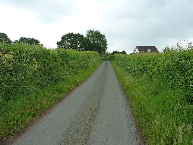
Ellerdine Heath is a small rural village located in the county of Shropshire, England. Situated in the northern part of the county, it falls within the borough of Telford and Wrekin. The village is known for its picturesque surroundings, encompassing both downs and moorland landscapes.
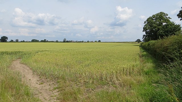
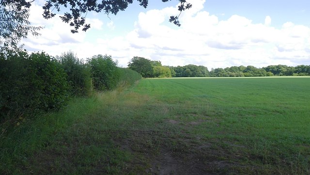
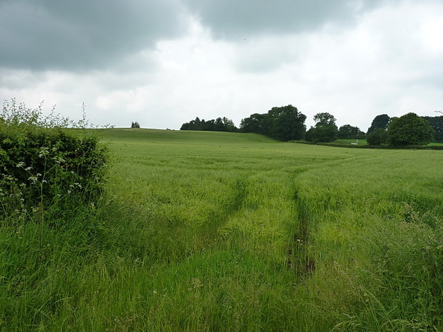
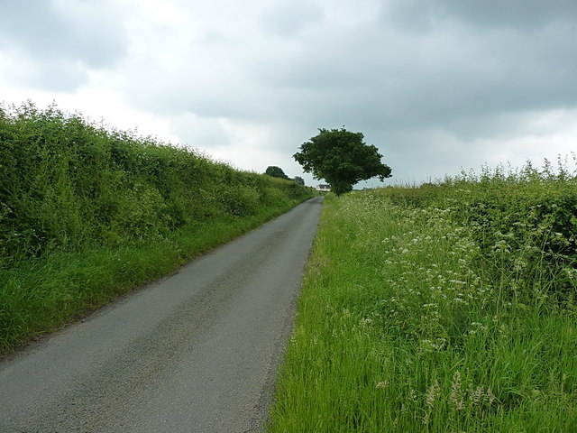
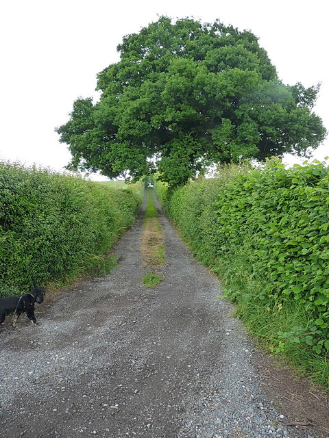
The downs of Ellerdine Heath consist of gentle rolling hills, covered in lush green grass and dotted with grazing livestock. This idyllic countryside is a popular spot for leisurely walks and picnics, offering breathtaking views of the surrounding countryside. The moorland, on the other hand, presents a more rugged and wild environment. Here, visitors can explore vast stretches of heather-covered terrain, interspersed with gorse bushes and rocky outcrops.
The village itself is small, with a close-knit community of residents. The architecture predominantly reflects traditional English countryside aesthetics, with quaint cottages and farmhouses dotting the landscape. The village also boasts a charming church, which serves as a focal point for community gatherings and events.
Ellerdine Heath offers a peaceful and tranquil escape from the hustle and bustle of urban life. It is an ideal destination for nature lovers, hikers, and those seeking a serene getaway. The village's location provides easy access to nearby attractions such as The Wrekin, a popular hill for walking and hiking, as well as the Ironbridge Gorge, a UNESCO World Heritage Site known for its industrial heritage.
In conclusion, Ellerdine Heath is a picturesque village nestled amidst downs and moorland in Shropshire. With its stunning natural landscapes and peaceful atmosphere, it is a hidden gem for those seeking a tranquil retreat.
If you have any feedback on the listing, please let us know in the comments section below.
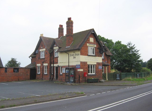
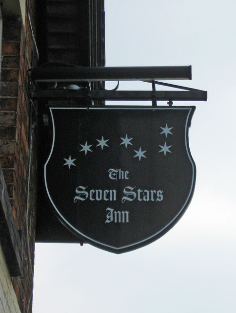
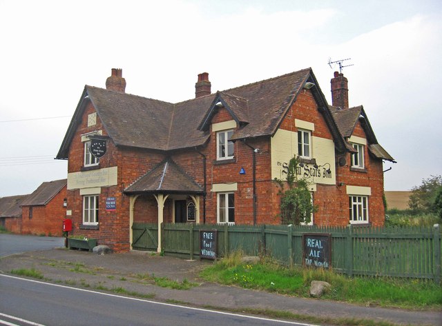
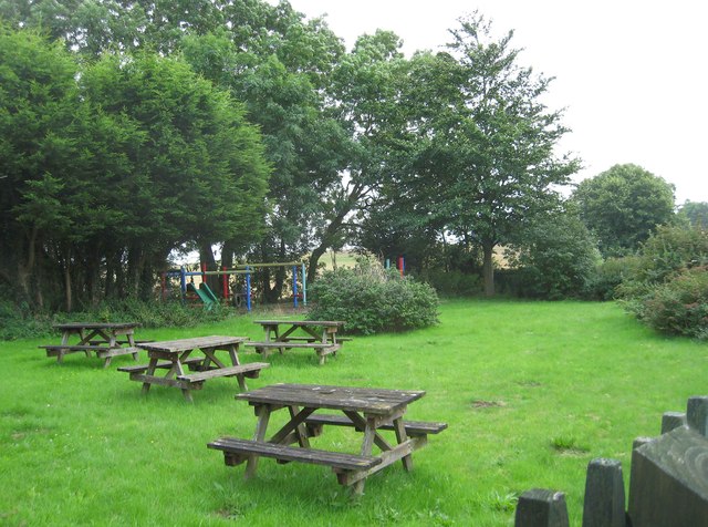
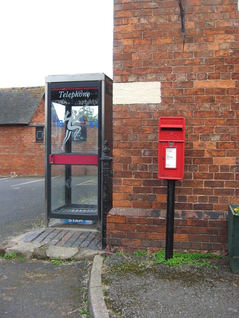
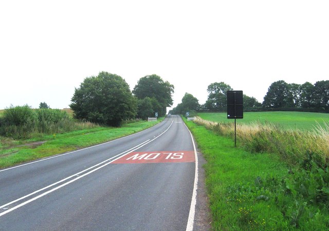
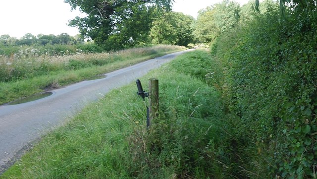
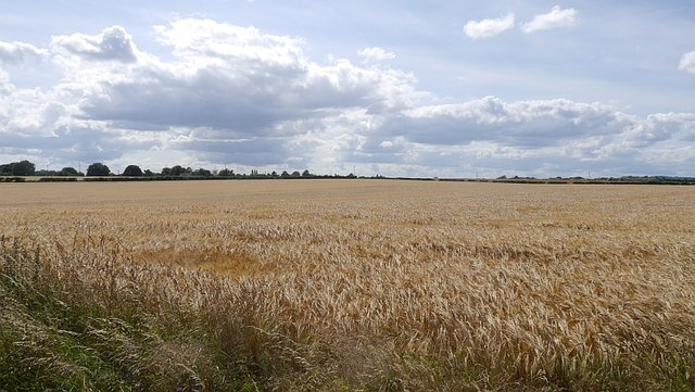
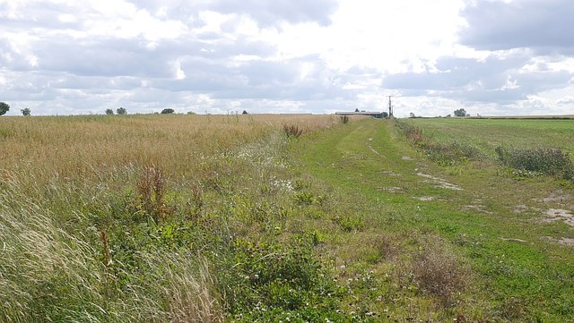
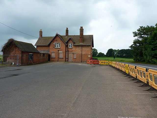
Ellerdine Heath Images
Images are sourced within 2km of 52.789454/-2.5723941 or Grid Reference SJ6121. Thanks to Geograph Open Source API. All images are credited.
Ellerdine Heath is located at Grid Ref: SJ6121 (Lat: 52.789454, Lng: -2.5723941)
Unitary Authority: Telford and Wrekin
Police Authority: West Mercia
What 3 Words
///uses.twitchy.distorts. Near Shawbury, Shropshire
Nearby Locations
Related Wikis

Ellerdine
Ellerdine () is a small hamlet located six miles north of the market town of Wellington, Shropshire. It is located at the convergence of six ancient footpaths...
Cold Hatton
Cold Hatton is a small village in Shropshire, located approximately six miles south of Hodnet near the confluence of the River Tern and River Meese. It...
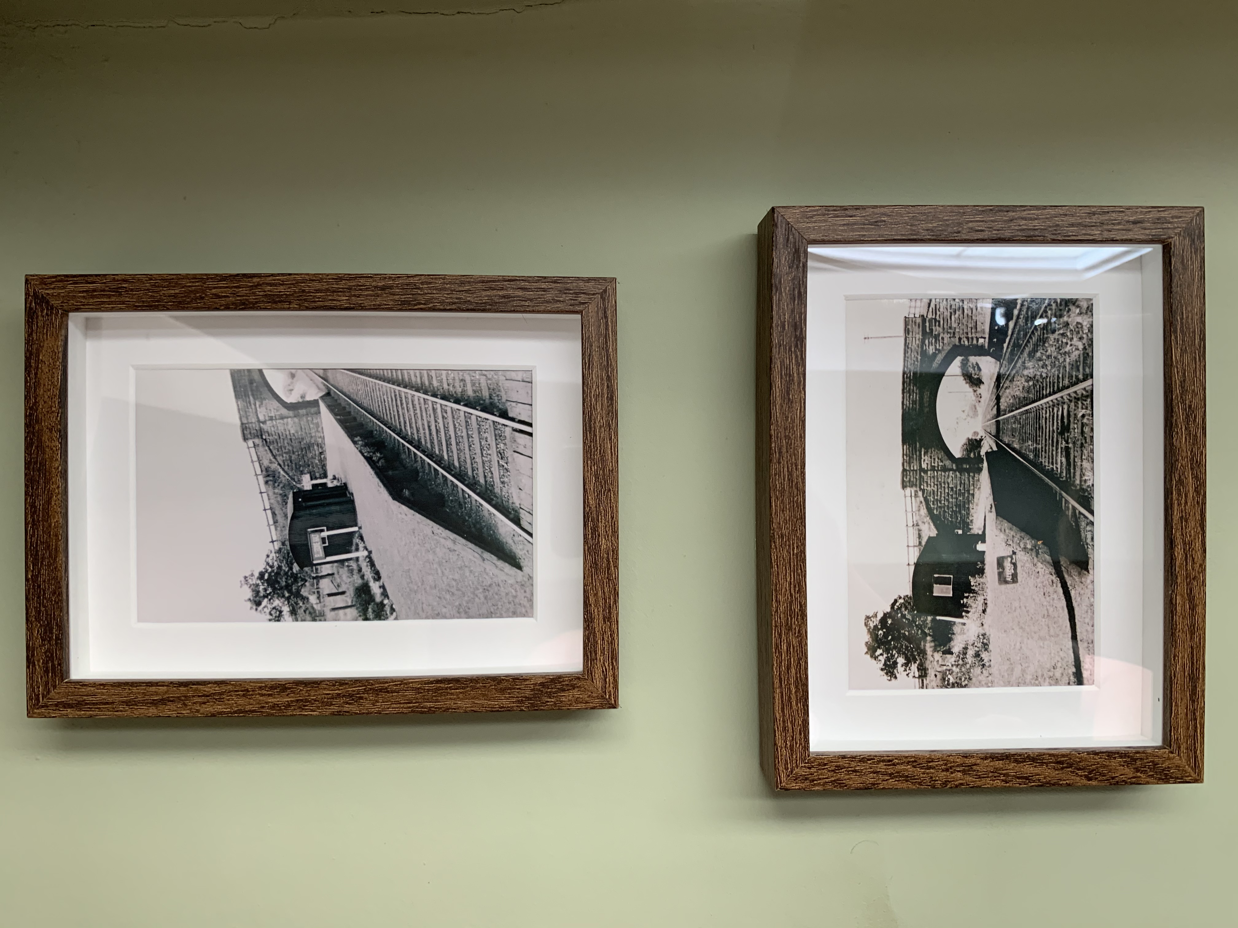
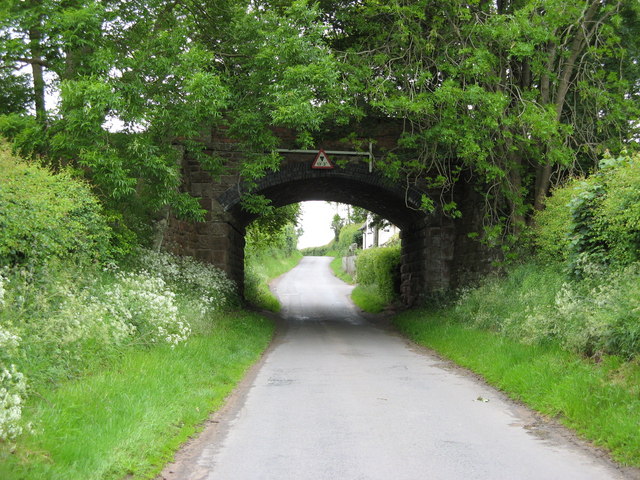
Ellerdine Halt railway station
Ellerdine Halt railway station was a station in Cold Hatton, Shropshire, England. The station was opened in 1930 and closed in 1963. The station was named...

Rowton, Shropshire
Rowton is a small village in the Telford and Wrekin Borough, Shropshire, England. It is located seven miles north-west of Wellington. The area is a Chapelry...
Nearby Amenities
Located within 500m of 52.789454,-2.5723941Have you been to Ellerdine Heath?
Leave your review of Ellerdine Heath below (or comments, questions and feedback).