Kirknowe Plantation

Wood, Forest in Roxburghshire

Scotland

Kirknowe Plantation

B6357 towards Bonchester Bridge
B6357 towards Bonchester Bridge Credit: Steven Brown

Kirknowe Plantation is a picturesque woodland located in the enchanting region of Roxburghshire, Scotland. This sprawling forest covers an area of approximately 100 acres, making it a haven for nature enthusiasts and outdoor adventurers alike.

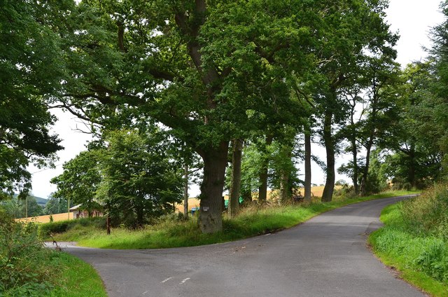
The plantation boasts a diverse array of tree species, including oak, beech, and pine, which create a striking and ever-changing landscape throughout the seasons. The dense canopy and well-maintained trails provide a tranquil retreat for visitors, offering a sense of solitude and serenity amidst the natural beauty.

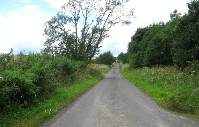
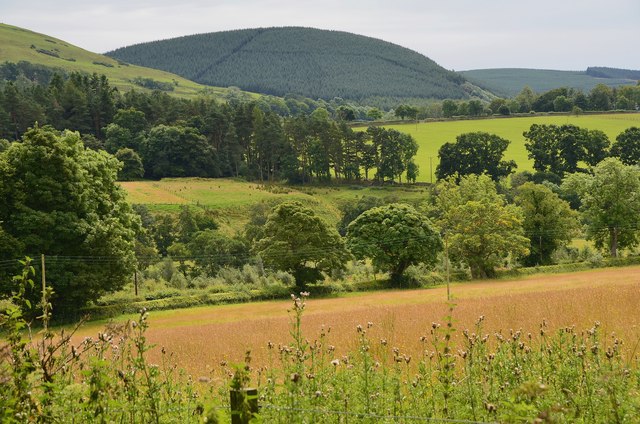
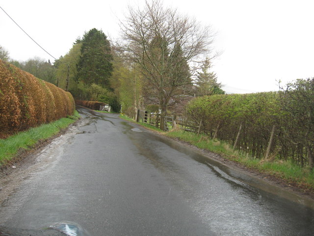
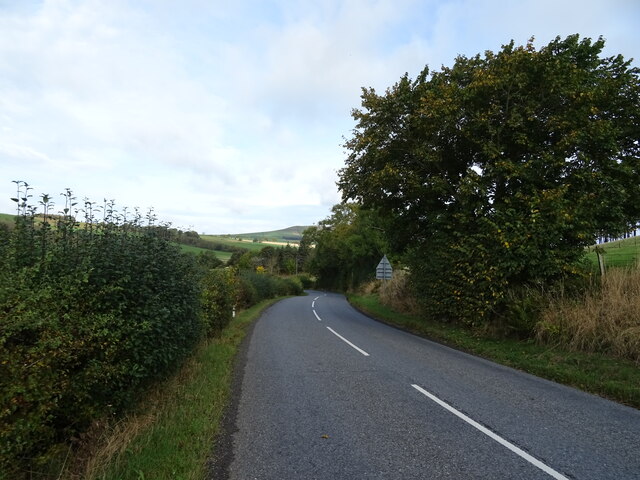
Within Kirknowe Plantation, there are several walking paths that meander through the woods, allowing visitors to explore the area at their own pace. These trails offer breathtaking views of the surrounding countryside, with glimpses of the rolling hills and meandering rivers that characterize the Roxburghshire region.

The plantation is also home to an abundance of wildlife, providing a haven for various bird species, deer, and smaller mammals. Birdwatchers will delight in the opportunity to spot species such as buzzards, woodpeckers, and owls, while nature lovers can keep an eye out for elusive red squirrels and foxes.

Kirknowe Plantation is a well-maintained and accessible woodland, with ample parking facilities and picnic areas for visitors to enjoy. Whether you are seeking a peaceful stroll, a scenic spot for a family picnic, or simply a chance to immerse yourself in nature's wonders, Kirknowe Plantation is a must-visit destination in Roxburghshire.

If you have any feedback on the listing, please let us know in the comments section below.

Kirknowe Plantation Images

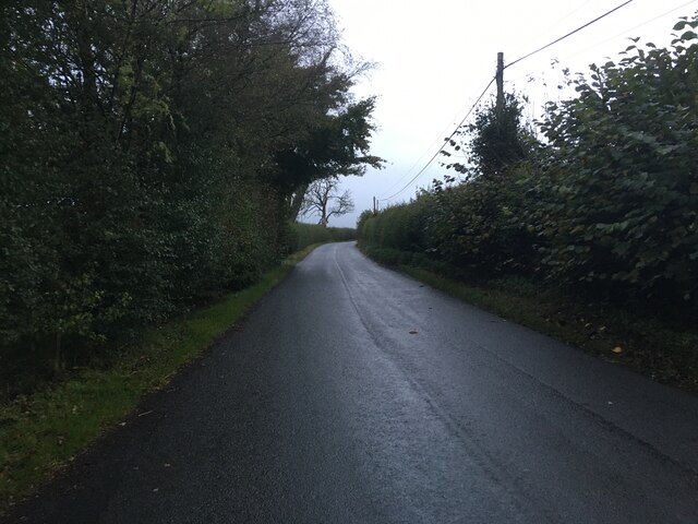
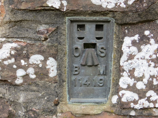
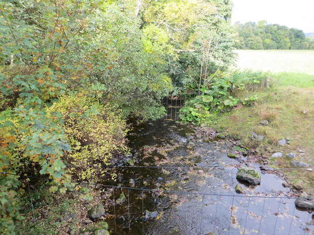
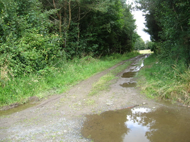
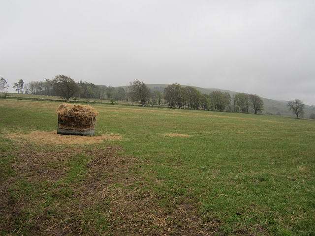
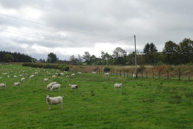
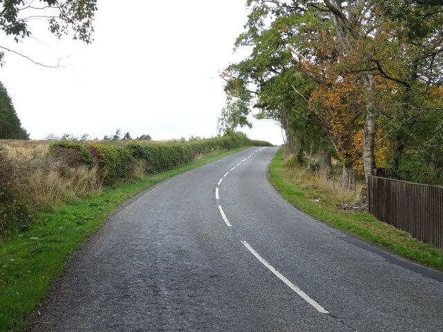
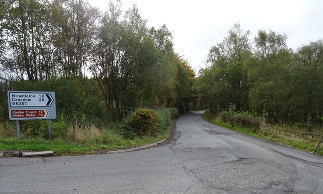
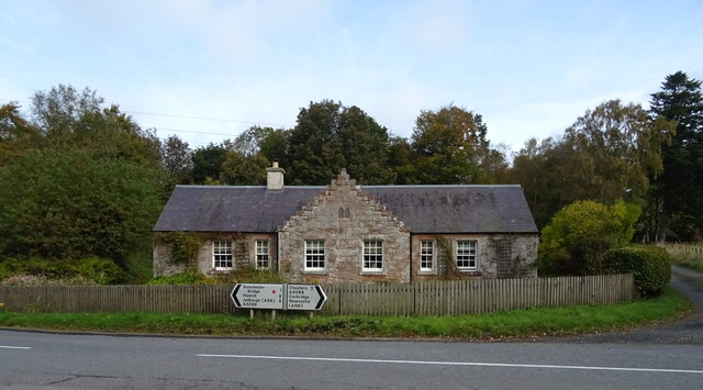
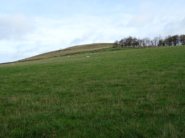
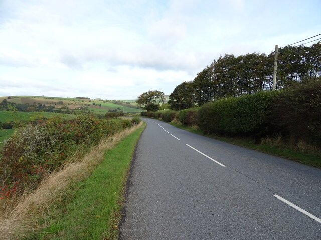
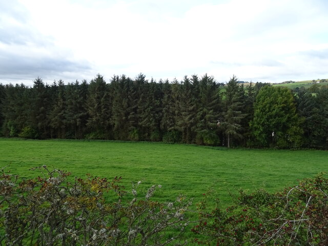
Images are sourced within 2km of 55.391669/-2.6597843 or Grid Reference NT5811. Thanks to Geograph Open Source API. All images are credited.

B6357 towards Bonchester Bridge
Ordnance Survey Flush Bracket 11419 This can be found on the parapet wall of a bridge over Catlee Burn at Forkins.
For more detail see : <span class="nowrap"><a title="http://www.bench-marks.org.uk/bm16610" rel="nofollow ugc noopener" href="http://www.bench-marks.org.uk/bm16610">Link</a><img style="margin-left:2px;" alt="External link" title="External link - shift click to open in new window" src="https://s1.geograph.org.uk/img/external.png" width="10" height="10"/></span>
Ordnance Survey Flush Bracket 11419
This can be found on the parapet wall of a bridge over Catlee Burn at Forkins. For more detail see : LinkExternal link
Catlee Burn viewed from the bridge at Forkins Looking north-westward.
Catlee Burn viewed from the bridge at Forkins
Looking north-westward.
Track through the plantation At Unthank Wood in Roxburghshire.
Track through the plantation
At Unthank Wood in Roxburghshire.
Country lane heading for Highend Farm In Roxburghshire.
Country lane heading for Highend Farm
In Roxburghshire.
Forestry beyond the fields, Harwoodmill A view across the catchment of the Rule Water to the forested Wolfhopelee Hill, at the N end of the extensive Wauchope Forest.
Forestry beyond the fields, Harwoodmill
A view across the catchment of the Rule Water to the forested Wolfhopelee Hill, at the N end of the extensive Wauchope Forest.
Road junction near Forkins A sign on the tree indicates 'Harwood' to the left.
Road junction near Forkins
A sign on the tree indicates 'Harwood' to the left.
The B6357heading south towards Wolfelee in Roxburghshire
Field above Cleuch Head Grass field with left overs from Winter.
Field above Cleuch Head
Grass field with left overs from Winter.
Sheep grazing, Crowntailrig
A6088, Crowntailrig Towards Bonchester Bridge.
A6088, Crowntailrig
Towards Bonchester Bridge.
B6357 towards Newcastleton From the junction with the A6088.
B6357 towards Newcastleton
From the junction with the A6088.
Braidhaugh Farm Cottage On the A6088.
Braidhaugh Farm Cottage
On the A6088.
Hillside grazing above the A6088 Towards Bonchester Hill.
Hillside grazing above the A6088
Towards Bonchester Hill.
A6088 towards Bonchester Bridge
Grazing and woodland, Bonchester Bridge
A6088 dropping down into Bonchester Bridge
Bonchester Bridge A6088 crossing the Rule Water.
Bonchester Bridge
A6088 crossing the Rule Water.
Show me another place!

Kirknowe Plantation is located at Grid Ref: NT5811 (Lat: 55.391669, Lng: -2.6597843)

Unitary Authority: The Scottish Borders

Police Authority: The Lothians and Scottish Borders

What 3 Words

///shuttling.triangles.rounds. Near Hawick, Scottish Borders

Related Wikis

Hobkirk

Hobkirk (Scottish Gaelic: Eaglais Ruail) is a village and civil parish in the Scottish Borders area of Scotland, by the Rule Water, south-west of Jedburgh...
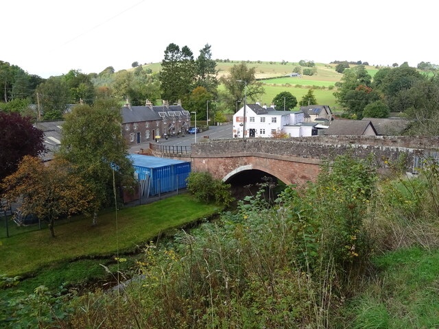
Bonchester Bridge

Bonchester Bridge (Scots Binster Brig) is a village in Roxburghshire, within the Scottish Borders area of Scotland, lying on the Rule Water, six miles...

Wauchope, Scottish Borders

Wauchope is a hamlet in the Scottish Borders council area of Scotland, near Southdean. Wauchope House was demolished in 1932. == See also == Wauchope Forest...

Hallrule

Hallrule is a hamlet on the B6357 road, in the Scottish Borders area of Scotland, on the Rule Water, near Abbotrule, Bedrule Bonchester Bridge, Denholm...

Nearby Amenities

Located within 500m of 55.391669,-2.6597843
Hobkirk
Place: village
Wikidata: Q5875070
Wikipedia: en:Hobkirk
Lat/Long: 55.3901528/-2.6540626
Langraw
Place: hamlet
Lat/Long: 55.3954693/-2.659545
Hartshaugh
Place: isolated_dwelling
Lat/Long: 55.3897798/-2.6530388
Generator Method: photovoltaic
Generator Output Electricity: yes
Generator Source: solar
Generator Type: solar_photovoltaic_panel
Power: generator
Lat/Long: 55.3877878/-2.6624255
Generator Method: photovoltaic
Generator Output Electricity: yes
Generator Source: solar
Generator Type: solar_photovoltaic_panel
Power: generator
Lat/Long: 55.390177/-2.6558095
Power: pole
Lat/Long: 55.3958124/-2.6571321
Power: pole
Lat/Long: 55.3952401/-2.6573892
Power: pole
Lat/Long: 55.3945506/-2.6576819
Power: pole
Lat/Long: 55.3942232/-2.6574057
Power: pole
Lat/Long: 55.3931016/-2.6566397
Power: pole
Lat/Long: 55.3923803/-2.656207
Power: pole
Lat/Long: 55.3916488/-2.6557489
Power: pole
Lat/Long: 55.3909333/-2.6553238
Power: pole
Lat/Long: 55.3904158/-2.6550006
Power: pole
Lat/Long: 55.389852/-2.654657
Power: pole
Lat/Long: 55.3894169/-2.6543898
Power: pole
Lat/Long: 55.3950825/-2.6568089
Power: pole
Lat/Long: 55.3948758/-2.655941
Power: pole
Lat/Long: 55.3949423/-2.6546201
Power: pole
Lat/Long: 55.3890331/-2.6546507
Power: pole
Lat/Long: 55.3885358/-2.6549841
Power: pole
Lat/Long: 55.3880436/-2.6553086
Power: pole
Lat/Long: 55.3886587/-2.6616738
Power: pole
Lat/Long: 55.394912/-2.6597828
Power: pole
Lat/Long: 55.3950001/-2.6603071
Power: pole
Lat/Long: 55.3953304/-2.6600793
The data included in this document is from www.openstreetmap.org. The data is made available under ODbL.

Have you been to Kirknowe Plantation?

Leave your review of Kirknowe Plantation below (or comments, questions and feedback).