Bonchester Bridge

Settlement in Roxburghshire

Scotland

Bonchester Bridge

Sheep grazing, Crowntailrig
Sheep grazing, Crowntailrig Credit: JThomas

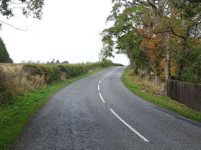
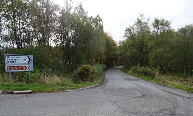
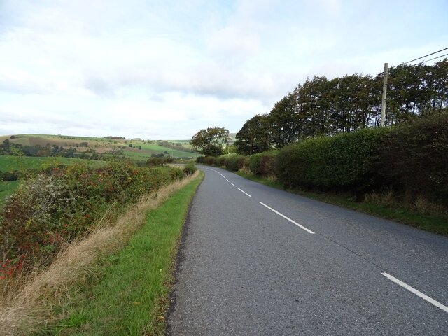
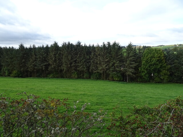
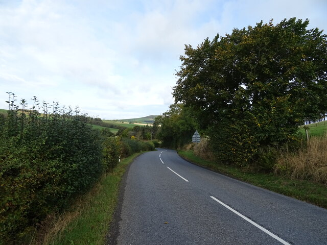
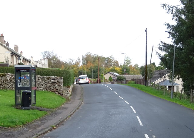
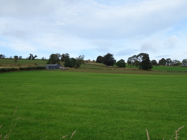
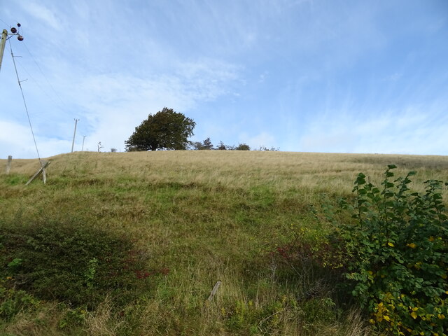
Bonchester Bridge is a small village located in the Scottish Borders region of Roxburghshire. Situated along the B6400 road, it lies approximately 5 miles northwest of the town of Hawick and 50 miles south of Edinburgh. The village is nestled in a picturesque setting, surrounded by rolling hills, lush farmland, and the winding River Teviot.

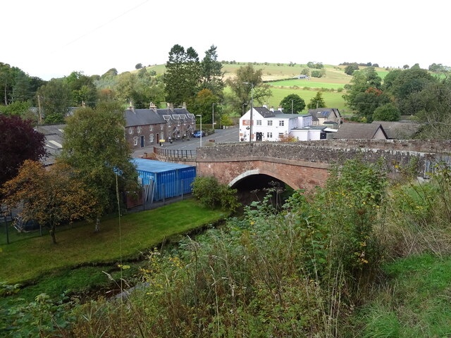
Bonchester Bridge is primarily known for its historic bridge, which spans the River Teviot. The bridge, believed to have been built in the 18th century, is a charming stone structure that adds to the village's character and serves as a vital transportation route for locals and visitors alike.

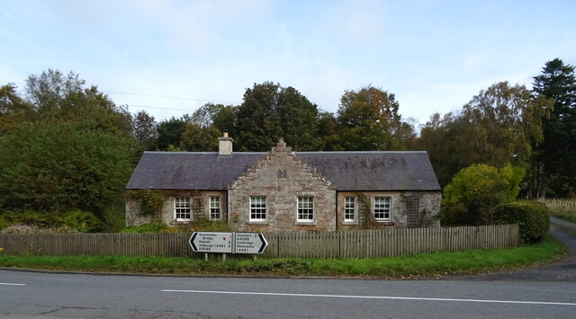
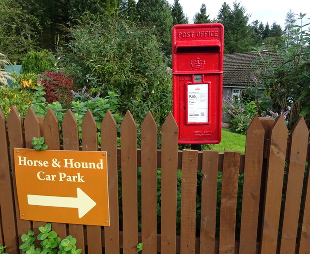
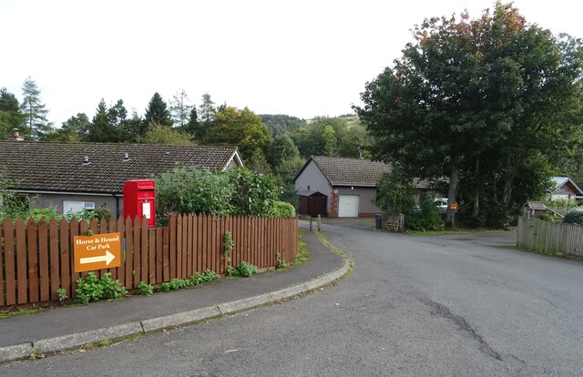
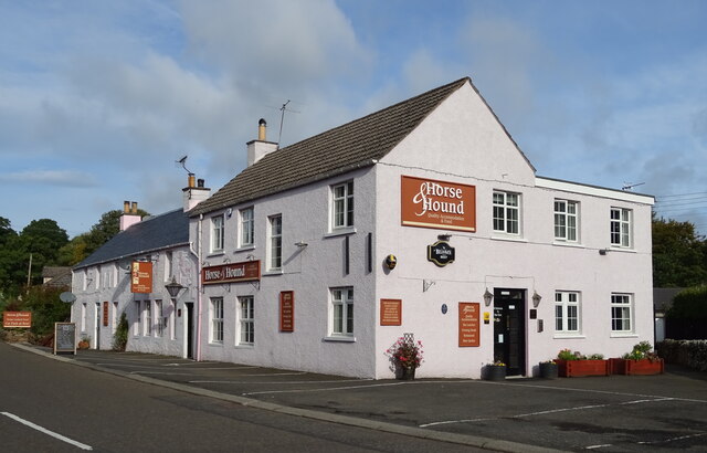
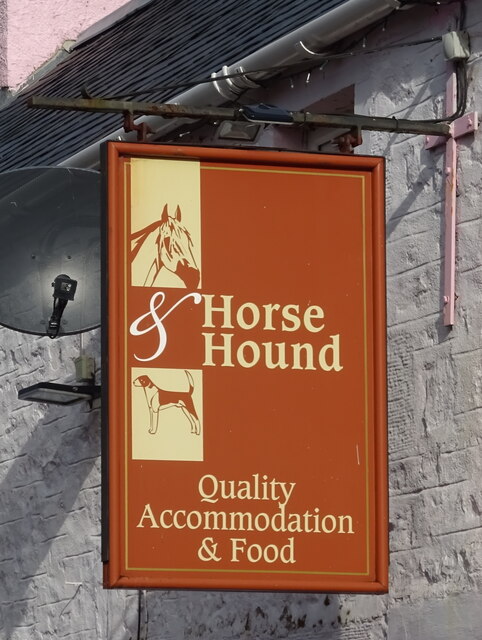
Although small in size, Bonchester Bridge offers a range of amenities to its residents. These include a primary school, a village hall, and a local pub that serves as a social hub for the community. The village also benefits from its proximity to larger towns such as Hawick, which provides additional services and facilities.

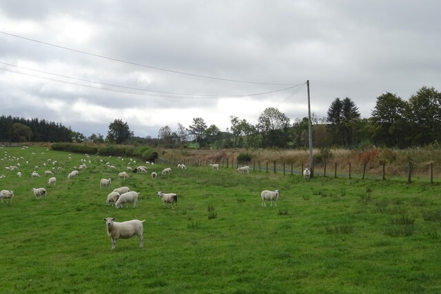
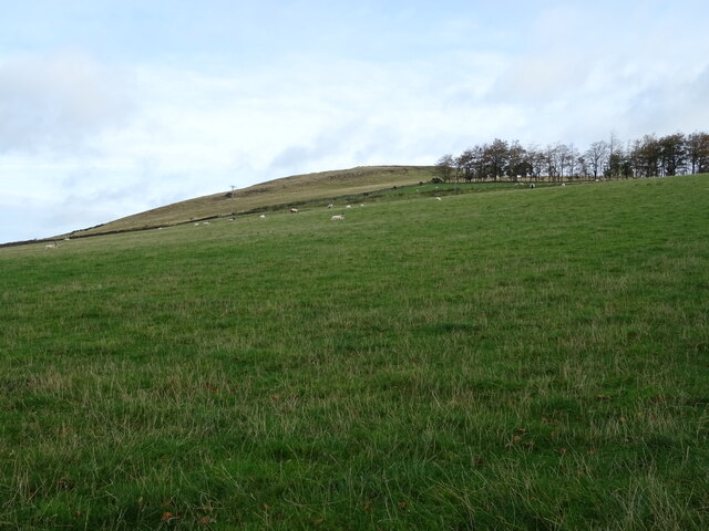
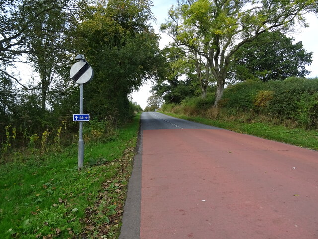
The surrounding countryside provides ample opportunities for outdoor activities, including walking, cycling, and fishing. The area is renowned for its scenic beauty, with numerous walking trails and viewpoints to explore. The nearby Teviotdale Leisure Centre in Hawick offers a range of sports facilities and activities for those seeking more energetic pursuits.

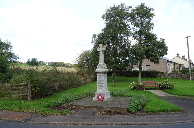
Bonchester Bridge is a tranquil and close-knit community, ideal for those seeking a peaceful rural lifestyle. With its charming setting and range of amenities, it offers a delightful place to live or visit within the picturesque Scottish Borders.

If you have any feedback on the listing, please let us know in the comments section below.

Bonchester Bridge Images

Images are sourced within 2km of 55.400111/-2.65563 or Grid Reference NT5811. Thanks to Geograph Open Source API. All images are credited.

Sheep grazing, Crowntailrig
A6088, Crowntailrig Towards Bonchester Bridge.
A6088, Crowntailrig
Towards Bonchester Bridge.
B6357 towards Newcastleton From the junction with the A6088.
B6357 towards Newcastleton
From the junction with the A6088.
Braidhaugh Farm Cottage On the A6088.
Braidhaugh Farm Cottage
On the A6088.
Hillside grazing above the A6088 Towards Bonchester Hill.
Hillside grazing above the A6088
Towards Bonchester Hill.
A6088 towards Bonchester Bridge
Grazing and woodland, Bonchester Bridge
A6088 dropping down into Bonchester Bridge
Bonchester Bridge A6088 crossing the Rule Water.
Bonchester Bridge
A6088 crossing the Rule Water.
Postbox on the A6088, Bonchester Bridge Postbox No. TD9 58.

See <a href="https://www.geograph.org.uk/photo/7015540">NT5812 : Village road, Bonchester Bridge</a> for context.
Postbox on the A6088, Bonchester Bridge
Postbox No. TD9 58. See NT5812 : Village road, Bonchester Bridge for context.
Village road, Bonchester Bridge Showing position of postbox No. TD9 58.

See <a href="https://www.geograph.org.uk/photo/7015539">NT5812 : Postbox on the A6088, Bonchester Bridge</a> for postbox.
Village road, Bonchester Bridge
Showing position of postbox No. TD9 58. See NT5812 : Postbox on the A6088, Bonchester Bridge for postbox.
The Horse & Hound Country Inn, Bonchester Bridge On the A6088.
The Horse & Hound Country Inn, Bonchester Bridge
On the A6088.
Sign for the Horse & Hound Country Inn, Bonchester Bridge
B6357, Bonchester Bridge
War Memorial, Bonchester Bridge
A6088 leaving Bonchester Bridge Towards Hawick.
A6088 leaving Bonchester Bridge
Towards Hawick.
Farmland off the A6088
Hillside grazing above the A6088
Show me another place!

Bonchester Bridge is located at Grid Ref: NT5811 (Lat: 55.400111, Lng: -2.65563)

Unitary Authority: The Scottish Borders

Police Authority: The Lothians and Scottish Borders

What 3 Words

///carrots.weaved.brilliant. Near Hawick, Scottish Borders

Related Wikis

Bonchester Bridge

Bonchester Bridge (Scots Binster Brig) is a village in Roxburghshire, within the Scottish Borders area of Scotland, lying on the Rule Water, six miles...

Hobkirk

Hobkirk (Scottish Gaelic: Eaglais Ruail) is a village and civil parish in the Scottish Borders area of Scotland, by the Rule Water, south-west of Jedburgh...

Hallrule

Hallrule is a hamlet on the B6357 road, in the Scottish Borders area of Scotland, on the Rule Water, near Abbotrule, Bedrule Bonchester Bridge, Denholm...

Abbotrule

Abbotrule is a hamlet south of the B6357 road, in the Scottish Borders area of Scotland, on Rule Burn, east of the Rule Water. Places nearby include Bedrule...

Wauchope, Scottish Borders

Wauchope is a hamlet in the Scottish Borders council area of Scotland, near Southdean. Wauchope House was demolished in 1932. == See also == Wauchope Forest...

Rubers Law

Rubers Law is a prominent, conical hill in the Scottish Borders area of south-east Scotland. It stands on the south bank of the River Teviot, between the...

Fulton Tower

Fulton Tower is a ruined 16th century tower house, about 4.5 miles (7.2 km) south west of Jedburgh, Scottish Borders, Scotland, and about 2 miles (3.2...

Kirkton, Scottish Borders

Kirkton is a village in the Scottish Borders area of Scotland, off the A6088, near Hawick. Grid Ref. NT5413. It is a former parish, amalgamated into the...

Related Videos

BONCHESTER BRIDGE LOOP

Hello Jamie here and with another video. So after my massive Ruberslaw walk, somehow in the afternoon period. I managed to ...

Nearby Amenities

Located within 500m of 55.400111,-2.65563
Bonchester Bridge
Alt Name Sco: Buinster
Name Sco: Binster Brig
Place: village
Population: 135
Wikidata: Q4941237
Wikipedia: en:Bonchester Bridge
Lat/Long: 55.4002619/-2.6556646
Bus Stop
Horse and Hound
Bus: yes
Naptan AtcoCode: 69001471
Naptan Bearing: W
Naptan BusStopType: CUS
Naptan CommonName: Horse and Hound
Naptan Indicator: Opp
Naptan Landmark: Horse and Hound
Naptan NaptanCode: 72726964
Naptan Street: A6088
Naptan Verified: no
Public Transport: platform
Source: naptan_import
Lat/Long: 55.4000672/-2.6555924
Bus Stop
Laidlaw Memorial Hall
Bus: yes
Naptan AtcoCode: 69001472
Naptan Bearing: S
Naptan CommonName: Laidlaw Memorial Hall
Naptan Indicator: opp
Naptan Landmark: Bus Shelter
Naptan NaptanCode: 72726957
Naptan Street: Hall Car Park
Operator: Scottish Borders Council
Public Transport: platform
Ref: 69001472
Source: NaPTAN
Lat/Long: 55.3985199/-2.6550661
Addr Place: Easter Weens Lodges
Addr Postcode: TD9 8JQ
Lat/Long: 55.4045175/-2.6543624
Telephone
Booth: KX100
Check Date: 2021-04-28
Covered: booth
Lat/Long: 55.4020598/-2.6562201
Generator Method: photovoltaic
Generator Output Electricity: yes
Generator Source: solar
Generator Type: solar_photovoltaic_panel
Power: generator
Lat/Long: 55.4004661/-2.6558248
Generator Method: photovoltaic
Generator Output Electricity: yes
Generator Source: solar
Generator Type: solar_photovoltaic_panel
Power: generator
Lat/Long: 55.4031637/-2.6551294
Generator Method: photovoltaic
Generator Output Electricity: yes
Generator Source: solar
Generator Type: solar_photovoltaic_panel
Power: generator
Lat/Long: 55.4005098/-2.6553829
Noexit: yes
Lat/Long: 55.4004383/-2.6550919
Give Way
Direction: forward
Lat/Long: 55.4018281/-2.6563235
Noexit: yes
Lat/Long: 55.4015173/-2.6613025
Give Way
Direction: forward
Lat/Long: 55.3980506/-2.6551074
Give Way
Direction: forward
Lat/Long: 55.4001051/-2.6556594
Historic: memorial
Lat/Long: 55.4019761/-2.6563607
Bench
Lat/Long: 55.4020454/-2.6563204
Post Box
Operator: Royal Mail
Post Box Mounting: pier
Post Box Type: lamp
Ref: TD9 58
Royal Cypher: scottish_crown
Lat/Long: 55.4035827/-2.6554219
Recycling
Recycling Type: container
Lat/Long: 55.3984216/-2.6551198
Power: pole
Lat/Long: 55.4015675/-2.6567364
Power: pole
Lat/Long: 55.4011252/-2.6566422
Power: pole
Lat/Long: 55.4007061/-2.6565073
Power: pole
Lat/Long: 55.4002509/-2.6563902
Power: pole
Lat/Long: 55.3999171/-2.6564055
Power: pole
Lat/Long: 55.3989979/-2.6564615
Power: pole
Lat/Long: 55.3985144/-2.6561472
Power: pole
Lat/Long: 55.3982543/-2.6555071
Power: pole
Lat/Long: 55.3983822/-2.6547792
Power: pole
Lat/Long: 55.3984711/-2.656165
Power: pole
Lat/Long: 55.3977969/-2.6564144
Power: pole
Lat/Long: 55.397145/-2.6566511
Power: pole
Lat/Long: 55.3964787/-2.656898
Power: pole
Lat/Long: 55.3958124/-2.6571321
Power: pole
Lat/Long: 55.4010168/-2.6564691
Power: pole
Lat/Long: 55.4009374/-2.6579377
Power: pole
Lat/Long: 55.4008637/-2.6593476
Power: pole
Lat/Long: 55.4007943/-2.6606991
Power: pole
Lat/Long: 55.4005949/-2.6615899
Power: pole
Lat/Long: 55.400287/-2.6629057
Power: pole
Lat/Long: 55.3999474/-2.6618647
Power: pole
Lat/Long: 55.3994979/-2.6620709
Power: pole
Lat/Long: 55.3991381/-2.6618113
Power: pole
Lat/Long: 55.4007061/-2.6551788
Power: pole
Lat/Long: 55.4011368/-2.6539877
Power: pole
Lat/Long: 55.4015848/-2.6527991
Power: pole
Lat/Long: 55.4018912/-2.6519669
Power: pole
Lat/Long: 55.4021961/-2.651127
Power: pole
Lat/Long: 55.4026311/-2.6499461
Power: pole
Lat/Long: 55.401303/-2.6527915
Power: pole
Lat/Long: 55.4008189/-2.6527813
Power: pole
Lat/Long: 55.4001512/-2.6527788
Power: pole
Lat/Long: 55.3995124/-2.6528144
Bus Stop
Horse and Hound
Bus: yes
Naptan AtcoCode: 69001470
Naptan Bearing: E
Naptan CommonName: Horse and Hound
Naptan Indicator: at
Naptan Landmark: Horse and Hound
Naptan NaptanCode: 72726959
Naptan Street: A6088
Operator: Scottish Borders Council
Public Transport: platform
Ref: 69001470
Source: NaPTAN
Lat/Long: 55.4001181/-2.6555316
Post Box
Operator: Royal Mail
Post Box Mounting: pier
Post Box Type: lamp
Ref: TD9 63
Lat/Long: 55.4006759/-2.6561312
The data included in this document is from www.openstreetmap.org. The data is made available under ODbL.

Have you been to Bonchester Bridge?

Leave your review of Bonchester Bridge below (or comments, questions and feedback).