Bonchurch
Settlement in Hampshire
England
Bonchurch
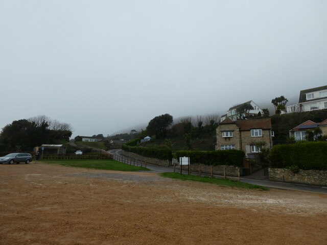
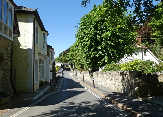
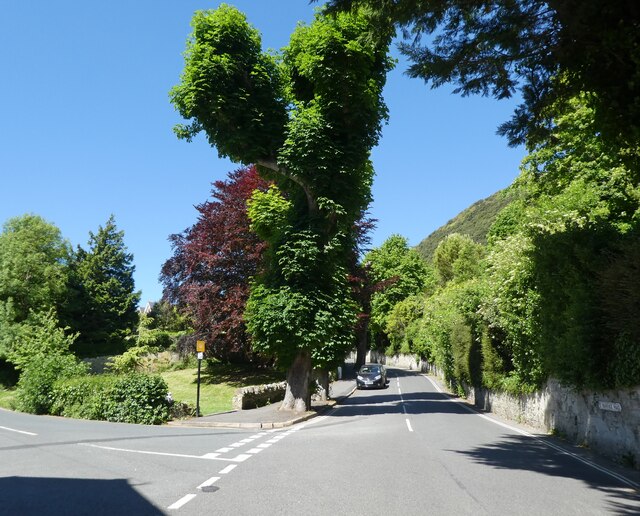
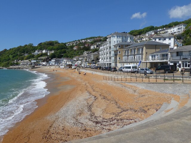
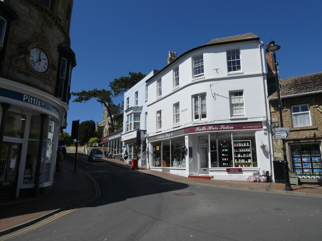
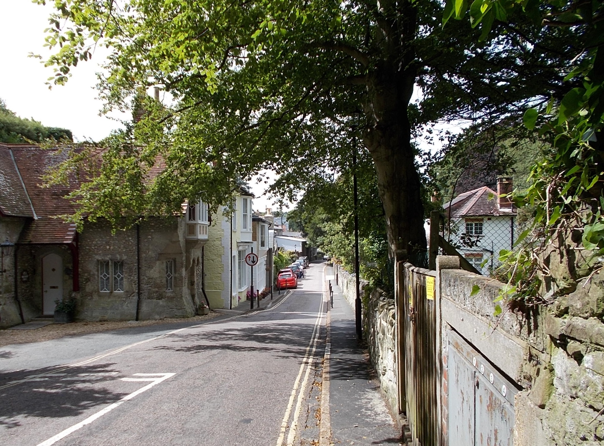
Bonchurch is a picturesque village located on the southeast coast of the Isle of Wight, Hampshire, England. Situated on the outskirts of Ventnor, it is a renowned destination for its natural beauty and historical significance. With a population of around 1,000 residents, the village exudes a tranquil and serene atmosphere.
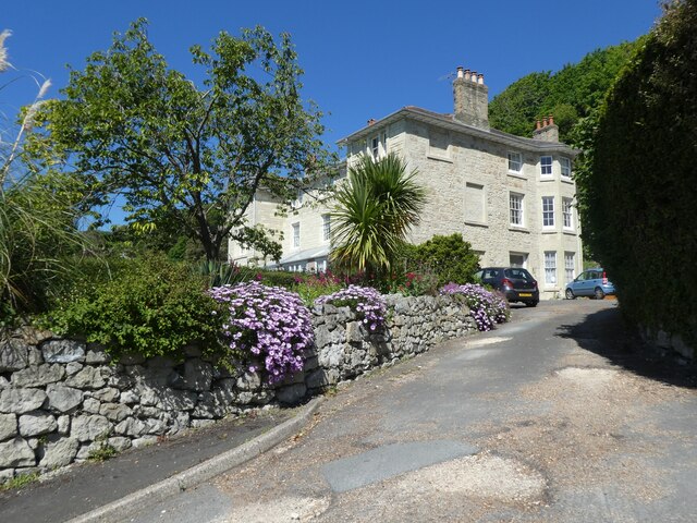
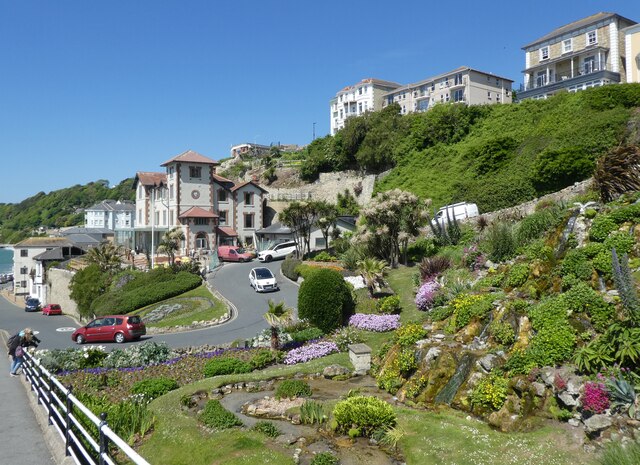
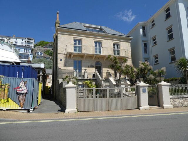
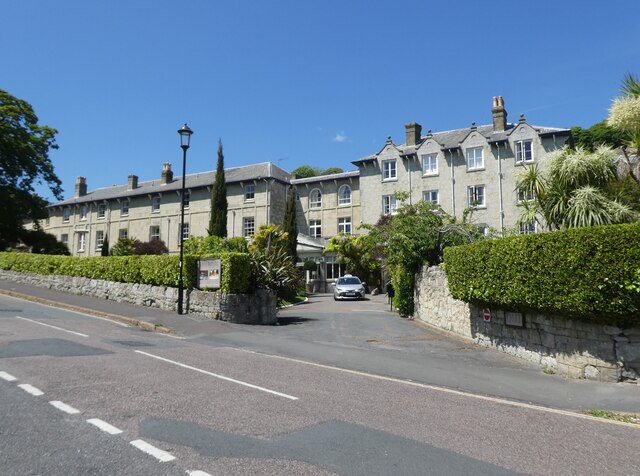
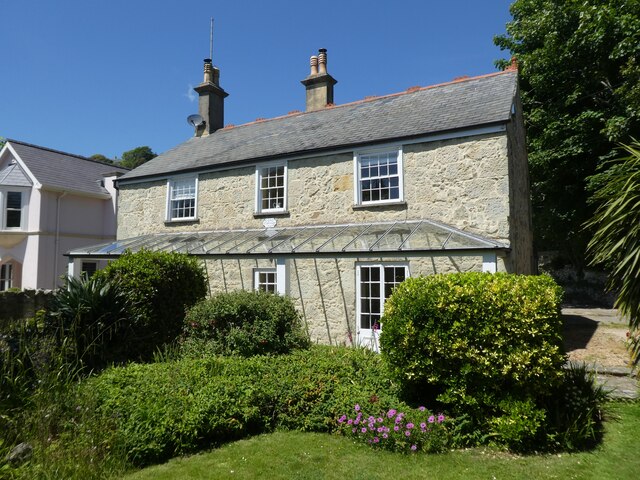
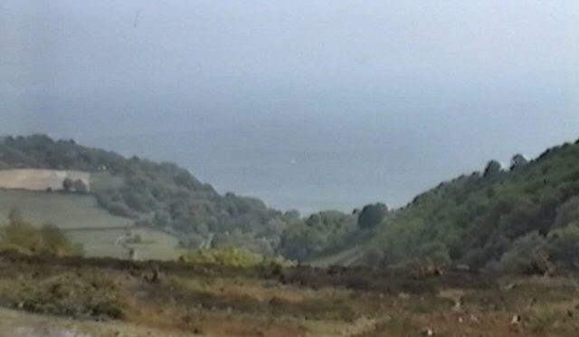
The village is nestled within a steep-sided valley, providing visitors with stunning views of the English Channel. Its charming architecture consists of quaint cottages, Victorian villas, and grand houses, showcasing the area's rich heritage.
One of Bonchurch's notable attractions is Bonchurch Pond, a man-made lake that adds to the village's allure. Surrounded by lush greenery and vibrant flowers, it serves as a tranquil spot for relaxation and reflection.
For those interested in history, Bonchurch offers a wealth of fascinating stories. The village was once home to renowned authors Charles Dickens and William Makepeace Thackeray, who sought inspiration from its scenic surroundings. Visitors can explore the Bonchurch Landslip, a geological phenomenon that occurred in 1810, shaping the landscape and adding an intriguing element to the area's history.
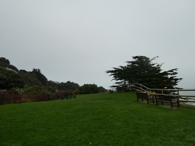
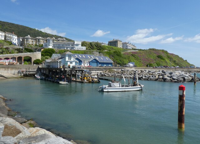
Nature enthusiasts will be delighted by the nearby Bonchurch Down, a nature reserve boasting a variety of flora and fauna. The coastal path from Bonchurch to Ventnor offers breathtaking views of the cliffs, sea, and the opportunity to spot local wildlife.
Bonchurch is a haven for those seeking peace and tranquility, with its idyllic setting, rich history, and natural wonders making it a truly enchanting destination on the Isle of Wight.
If you have any feedback on the listing, please let us know in the comments section below.
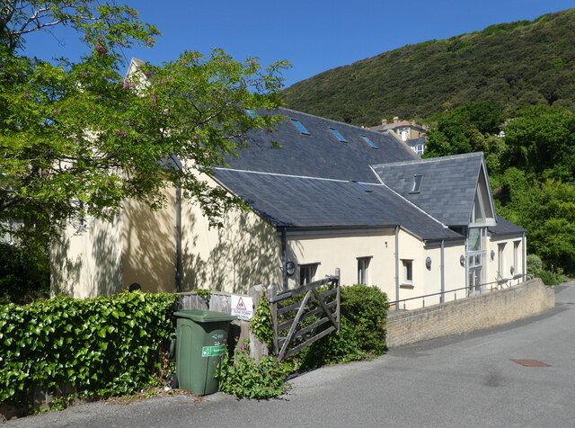
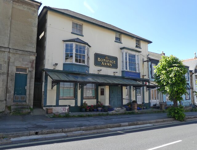
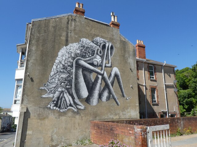
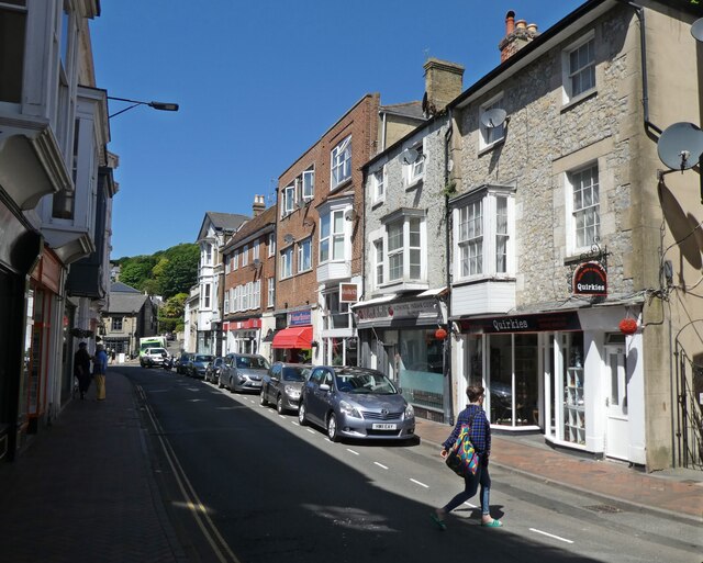
Bonchurch Images
Images are sourced within 2km of 50.600089/-1.188905 or Grid Reference SZ5778. Thanks to Geograph Open Source API. All images are credited.
Bonchurch is located at Grid Ref: SZ5778 (Lat: 50.600089, Lng: -1.188905)
Unitary Authority: Isle of Wight
Police Authority: Hampshire
What 3 Words
///stilted.signed.remit. Near Ventnor, Isle of Wight
Nearby Locations
Related Wikis

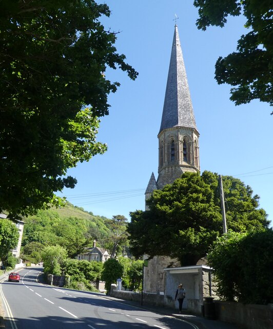
St Boniface Church, Bonchurch
St Boniface Church, Bonchurch is a parish church in the Church of England located in Bonchurch, Isle of Wight. == History == The church dates from 1847...

Old St Boniface Church, Bonchurch
Old St Boniface Church, Bonchurch is a parish church in the Church of England located in Bonchurch, Isle of Wight. == History == The nave and chancel dates...
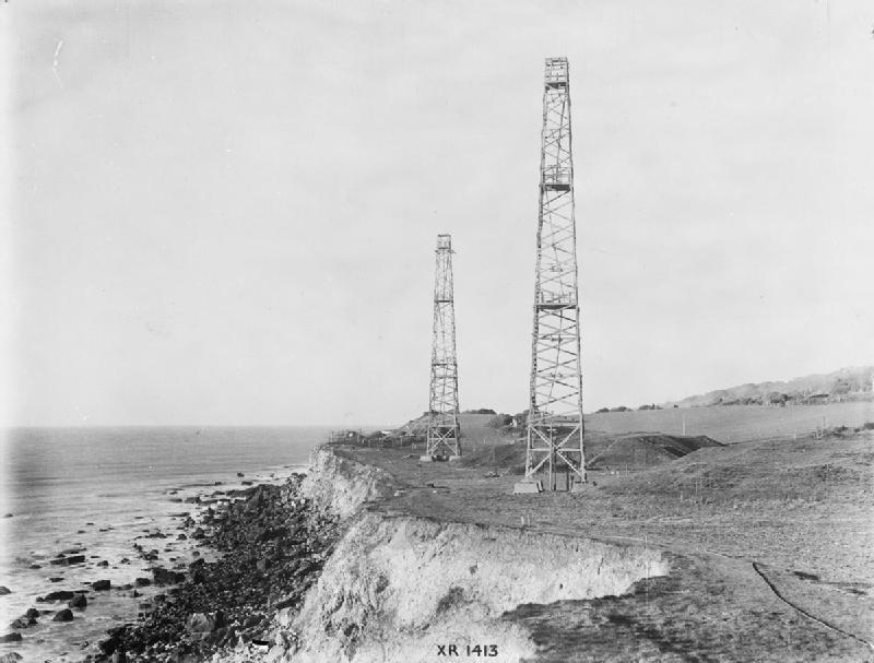
RAF Ventnor
Royal Air Force Ventnor or more simply RAF Ventnor is a former Royal Air Force radar station located 0.7 miles (1.1 km) north east of Ventnor on the Isle...
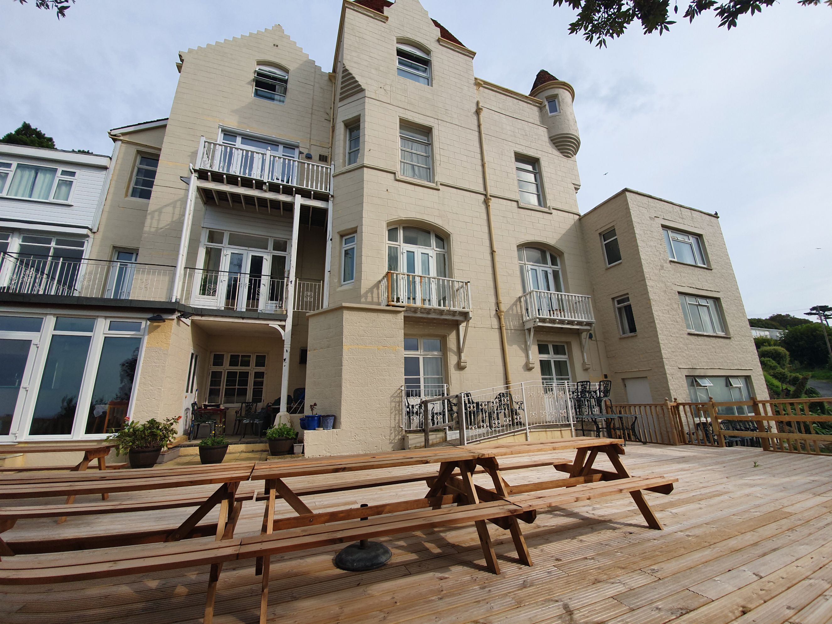
Ventnor Towers Hotel
Ventnor Towers Hotel was a large hotel in Ventnor on the Isle of Wight. The building was constructed in 1872 and has been extended multiple times since...
Bonchurch
Bonchurch is a small village in the civil parish of Ventnor, to the east of the town of Ventnor, now largely connected to the latter by suburban development...
Dunnose, Isle of Wight
Dunnose is a cape on the Isle of Wight in the English Channel. The headland is visible from well out to sea, and is used in navigation. It has twice been...

Horseshoe Bay, Bonchurch, Isle of Wight
Horseshoe Bay is a bay on the south-east coast of the Isle of Wight, England. It lies to the south-east of the village of Bonchurch. It faces south-east...

Monks Bay
Monks Bay is situated on the southern coast of the Isle of Wight, England just to the east of the village of Bonchurch, it is around 1⁄3 mile (0.54 km...
Nearby Amenities
Located within 500m of 50.600089,-1.188905Have you been to Bonchurch?
Leave your review of Bonchurch below (or comments, questions and feedback).