Bond End

Settlement in Staffordshire East Staffordshire

England

Bond End

Winter Morning at Hadley End
Winter Morning at Hadley End Credit: Bill

Bond End is a small village located in the county of Staffordshire in central England. Situated approximately 7 miles northeast of the town of Stafford, Bond End is a rural community with a population of around 300 inhabitants.

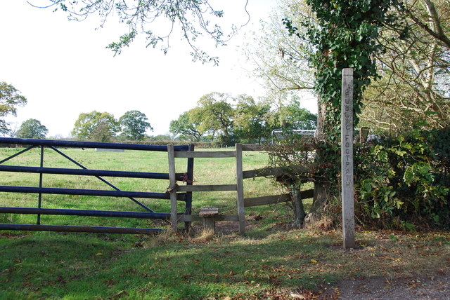
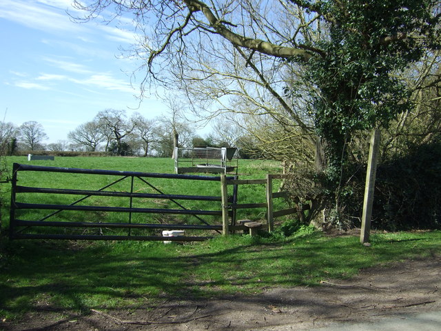
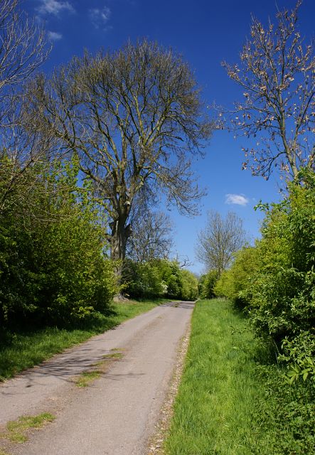
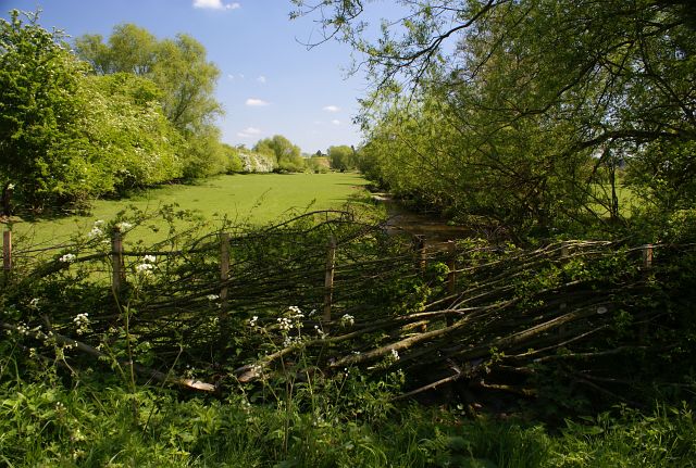
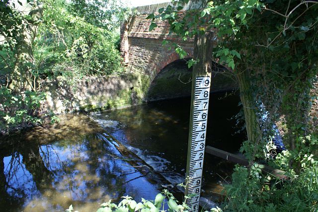
The village is characterized by its picturesque countryside surroundings, with rolling hills, green pastures, and charming cottages dotting the landscape. The River Trent flows nearby, adding to the natural beauty of the area. Bond End is a popular destination for nature lovers and outdoor enthusiasts, offering numerous walking and cycling trails that showcase the region's stunning scenery.

Despite its small size, the village boasts a tight-knit community that takes pride in preserving its heritage and traditions. Bond End is home to a historic church, St. Thomas' Church, which dates back to the 12th century. The church serves as a focal point for the community, hosting regular services and community events.

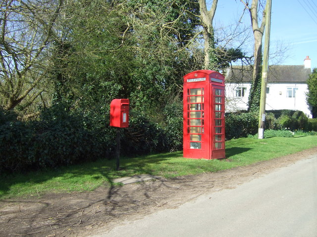
While Bond End does not have its own shops or amenities, residents can easily access nearby towns for their everyday needs. The village provides a peaceful and idyllic setting, away from the hustle and bustle of city life, making it an attractive place for those seeking a slower pace of living.

In summary, Bond End is a quaint village in Staffordshire known for its rural charm, natural beauty, and strong community spirit. It offers a peaceful retreat for those looking to enjoy the tranquility of the countryside.

If you have any feedback on the listing, please let us know in the comments section below.
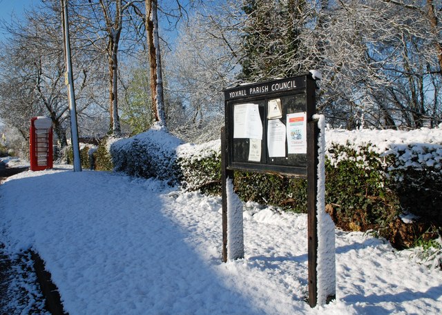
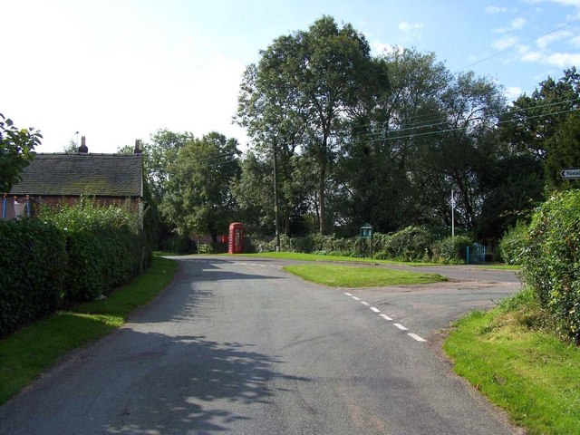
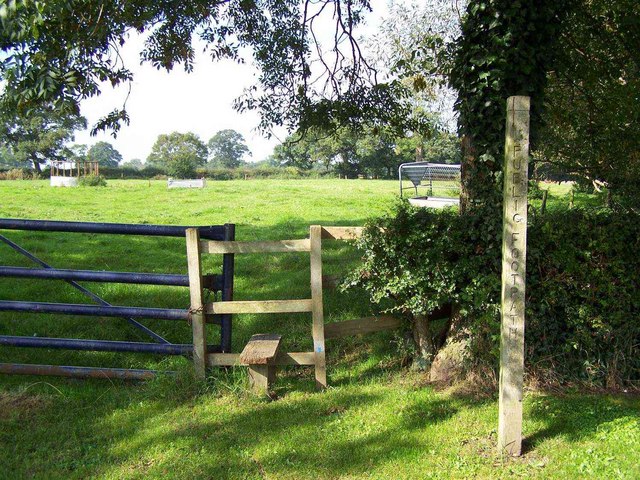
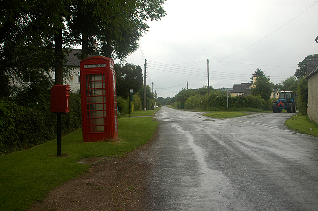
Bond End Images

Images are sourced within 2km of 52.763717/-1.793081 or Grid Reference SK1418. Thanks to Geograph Open Source API. All images are credited.

Winter Morning at Hadley End
Hadley End
Hadley End
Footpath, Hadley End
Phone box at Hadley End
River Swarbourn upstream of Woodlane Bridge
Stile and Footpath, Hadley End This footpath crosses fields and a road on its way to Rowley Farms and beyond.
Stile and Footpath, Hadley End
This footpath crosses fields and a road on its way to Rowley Farms and beyond.
Field entrance and footpath, Hadley End Off Upper Hoar Cross Road.
Field entrance and footpath, Hadley End
Off Upper Hoar Cross Road.
Elizabeth II postbox and telephone box, Hadley End Postbox No. DE13 1079.
Elizabeth II postbox and telephone box, Hadley End
Postbox No. DE13 1079.
Close up, Elizabeth II postbox, Hadley End Postbox No. DE13 1079.
Close up, Elizabeth II postbox, Hadley End
Postbox No. DE13 1079.
St. Peter, Yoxall
St. Peter, Yoxall
A513 towards King's Bromley From Eastfields, Alrewas Road
A513 towards King's Bromley
From Eastfields, Alrewas Road
Field barn near Wood Farm
Hadley Street, Weaverslake, Yoxall Rural Council Housing development
Hadley Street, Weaverslake, Yoxall
Rural Council Housing development
Lucepool There is a stream at the bottom of the dip which presumably once had pike in it.
Lucepool
There is a stream at the bottom of the dip which presumably once had pike in it.
The Old Coach House and Tudor House, Yoxall The house opposite Churchfields, with the red door, is The Old Coach House. The attached house, sharing the rather uneven roof, is called Tudor House.
The Old Coach House and Tudor House, Yoxall
The house opposite Churchfields, with the red door, is The Old Coach House. The attached house, sharing the rather uneven roof, is called Tudor House.
Meadow Lane near Woodhouses The lane is single track and unsuitable for heavy goods vehicles. Didn't stop me meeting one though!
Meadow Lane near Woodhouses
The lane is single track and unsuitable for heavy goods vehicles. Didn't stop me meeting one though!
Meadow off Meadow Lane Beyond the well laid hedge in the foreground, green swathes of pasture land can be seen alongside the River Swarbourn.
Meadow off Meadow Lane
Beyond the well laid hedge in the foreground, green swathes of pasture land can be seen alongside the River Swarbourn.
Bridge and weir The bridge carries Meadow Lane over the River Swarbourn
Bridge and weir
The bridge carries Meadow Lane over the River Swarbourn
Show me another place!

Bond End is located at Grid Ref: SK1418 (Lat: 52.763717, Lng: -1.793081)

Administrative County: Staffordshire

District: East Staffordshire

Police Authority: Staffordshire

What 3 Words

///shorthand.solicitor.homelands. Near Yoxall, Staffordshire

Related Wikis

Yoxall

Yoxall is a village and civil parish in Staffordshire, England. It is on the banks of the River Swarbourn on the A515 road north of Lichfield and south...

Church of St Peter, Yoxall

The Church of St Peter is a Grade II* listed building in Yoxall, East Staffordshire, Staffordshire, England, built in the early 13th century. == References ==

Orgreave, Staffordshire

Orgreave is a hamlet and former civil parish, now in the parish of Alrewas, in the Lichfield district, in the county of Staffordshire, England. It lies...

River Blithe

The River Blithe is a river in Staffordshire, England. It is a tributary of the River Trent and runs for around 18 miles from source to its confluence...

Wychnor Hall

Wychnor Hall (or Wychnor Park, ) is Grade II Listed early 18th-century country house near Burton on Trent, Staffordshire, formerly owned by the Levett...

Hoar Cross

Hoar Cross is a small village and civil parish in the Borough of East Staffordshire, situated approximately 7 miles (11 km) west of Burton upon Trent....

Hamstall Ridware

Hamstall Ridware is a village and civil parish in the Lichfield district of Staffordshire, England. It is in the Trent Valley, and lies close to the villages...

River Swarbourn

The River Swarbourn is a minor tributary of the River Trent that flows for 10 miles (16 km) in Staffordshire, England. == Geography == Its catchment lies...

Nearby Amenities

Located within 500m of 52.763717,-1.793081
Post Box
Operator: Royal Mail
Post Box Design: type_m
Post Box Type: lamp
Ref: DE13 1230
Royal Cypher: EIIR
Royal Cypher Wikidata: Q33102113
Lat/Long: 52.7656697/-1.7908266
Post Box
Operator: Royal Mail
Post Box Type: lamp
Ref: DE13 1183
Lat/Long: 52.7630485/-1.7951801
Yoxall
Place: village
Wikidata: Q2989704
Lat/Long: 52.7677162/-1.7917165
Bus Stop
Telephone Exchange
Bus: yes
Naptan AtcoCode: 3800C349002
Public Transport: platform
Lat/Long: 52.7613993/-1.7944649
Bus Stop
Telephone Exchange
Bus: yes
Public Transport: platform
Lat/Long: 52.7615381/-1.7945829
Bus Stop
The Crown PH
Naptan AtcoCode: 3800C309101
Naptan NaptanCode: stadapmw
Public Transport: platform
Lat/Long: 52.7664988/-1.7907822
Bus Stop
The Crown PH
Naptan AtcoCode: 3800C309102
Naptan NaptanCode: stadapta
Public Transport: platform
Lat/Long: 52.7660687/-1.7907138
Power: pole
Lat/Long: 52.7662702/-1.7950107
Power: pole
Lat/Long: 52.7662197/-1.7957738
Power: pole
Lat/Long: 52.766146/-1.7966724
Power: pole
Lat/Long: 52.7660781/-1.797571
Power: pole
Lat/Long: 52.7660092/-1.7984814
Power: pole
Lat/Long: 52.7659419/-1.7993706
Power: pole
Lat/Long: 52.7602348/-1.796563
Power: pole
Lat/Long: 52.7604101/-1.7957637
Post Office
Yoxall Village Newsagents and Post Office
Addr City: Burton-on-Trent
Addr Housenumber: 4
Addr Postcode: DE13 8NQ
Addr Street: Main Street
Addr Village: Yoxall
Fhrs Id: 1247531
Ref Pol Id: 14680
Shop: newsagent
Source: pol_branch_list_2022‑05‑27
Lat/Long: 52.7670382/-1.7906398
The data included in this document is from www.openstreetmap.org. The data is made available under ODbL.

Have you been to Bond End?

Leave your review of Bond End below (or comments, questions and feedback).