Bonchurch Down

Downs, Moorland in Hampshire

England

Bonchurch Down

Car park in Shore Road
Car park in Shore Road Credit: Basher Eyre

Bonchurch Down is located in the county of Hampshire, England. Situated on the Isle of Wight, it forms part of the larger geographical area known as the Hampshire Downs. This area is characterized by rolling hills, open grasslands, and patches of woodlands, offering scenic views of the surrounding countryside.

Bonchurch Down is a prominent feature within this landscape, boasting an elevation of approximately 100 meters above sea level. It encompasses a diverse range of habitats, including heathland, moorland, and grassland. The area is rich in biodiversity, supporting a variety of plant and animal species.

Visitors to Bonchurch Down can enjoy leisurely walks along the well-maintained footpaths that crisscross the area. These paths provide access to the stunning views and allow visitors to explore the diverse flora and fauna. The down is particularly renowned for its wildflowers, with vibrant displays of bluebells, primroses, and orchids during the spring and summer months.

The down is also home to a number of bird species, including skylarks, stonechats, and kestrels. Birdwatchers can often spot these feathered residents soaring across the open skies or perched on fence posts and shrubs.

Bonchurch Down offers a peaceful and tranquil setting for nature lovers and outdoor enthusiasts alike. Its picturesque landscapes, combined with its ecological significance, make it a popular destination for locals and tourists seeking a connection with nature and an opportunity to appreciate the natural beauty of the Hampshire Downs.

If you have any feedback on the listing, please let us know in the comments section below.

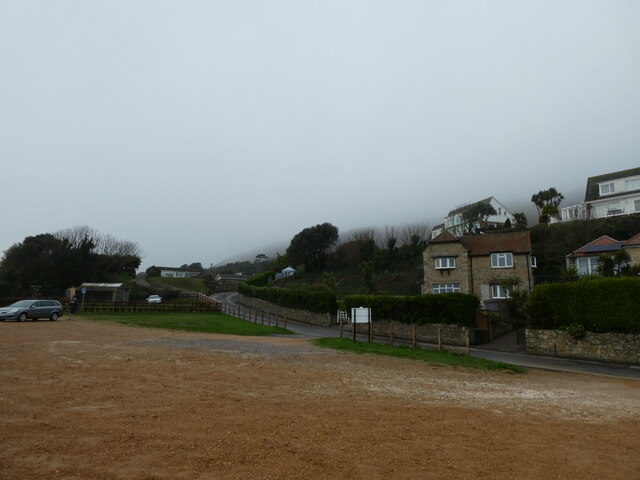
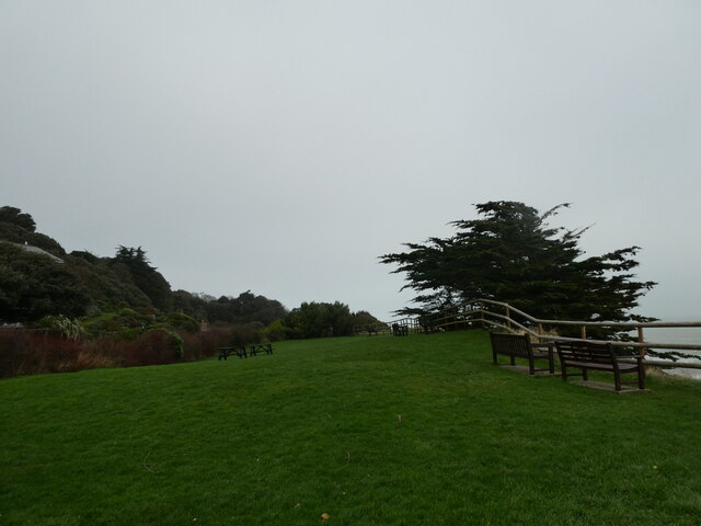
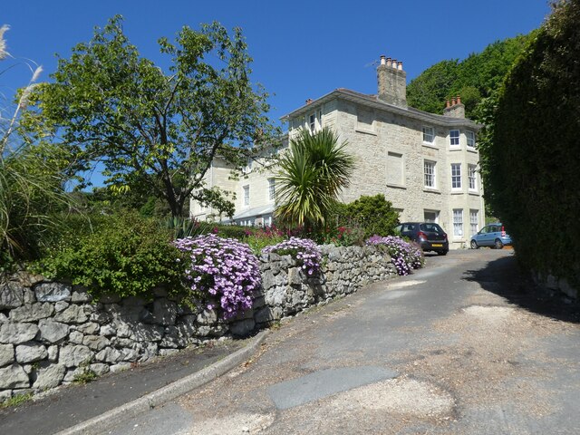
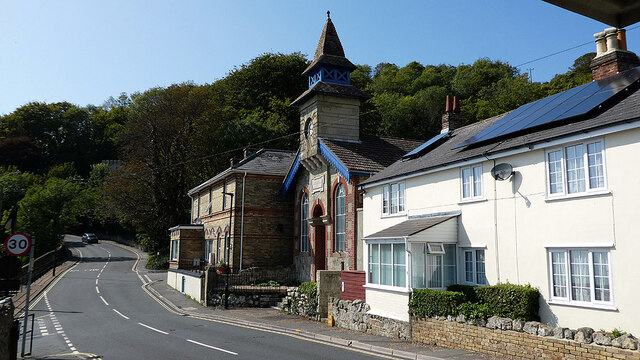
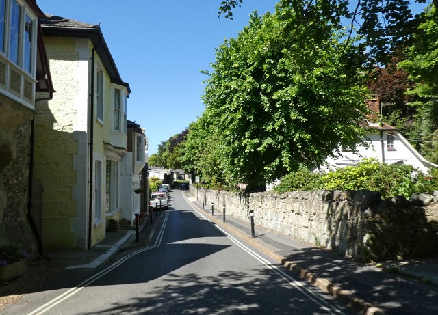
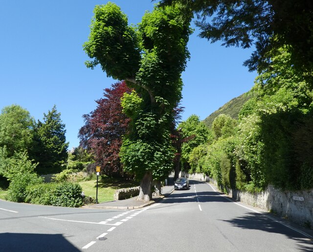
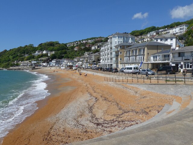
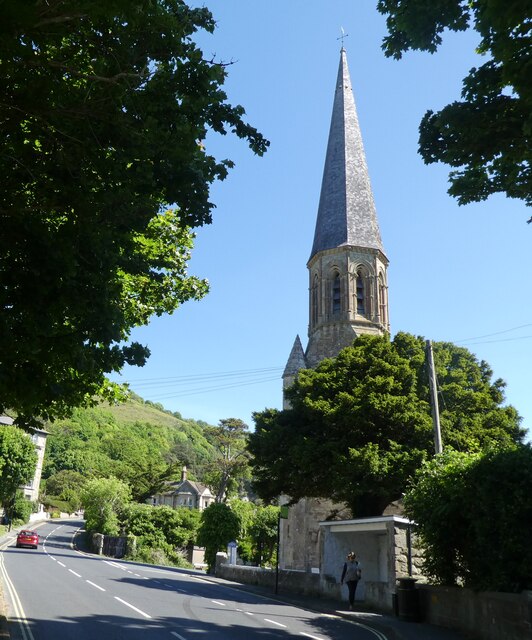
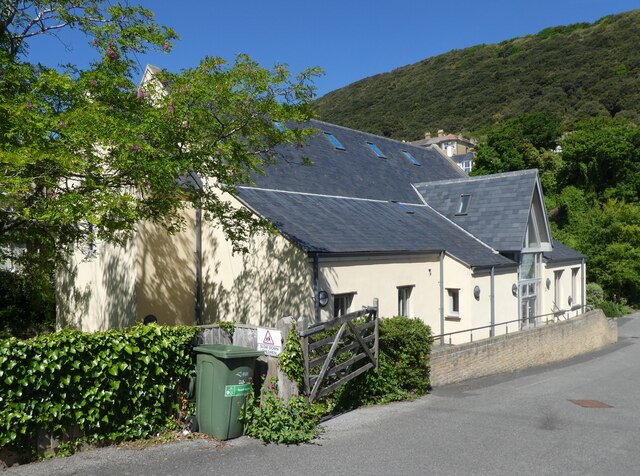
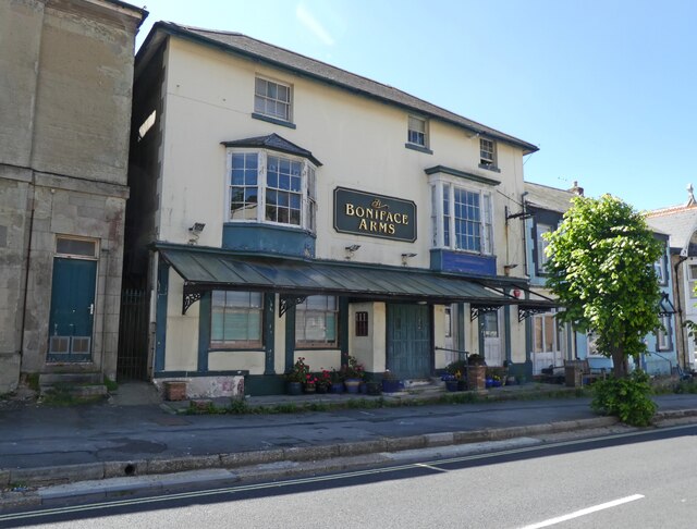
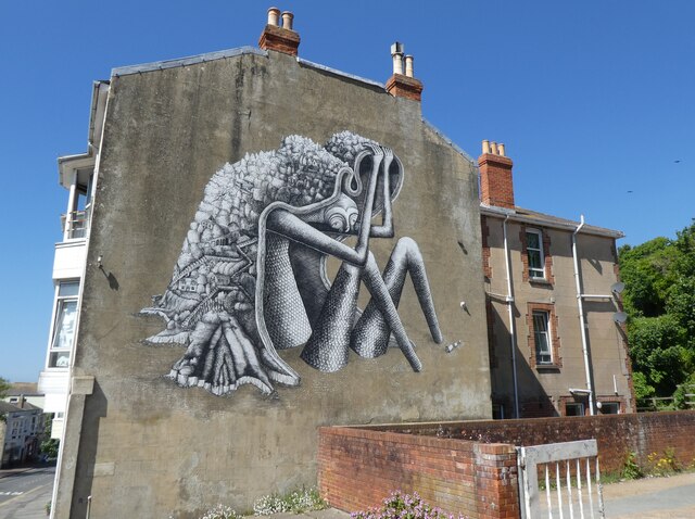
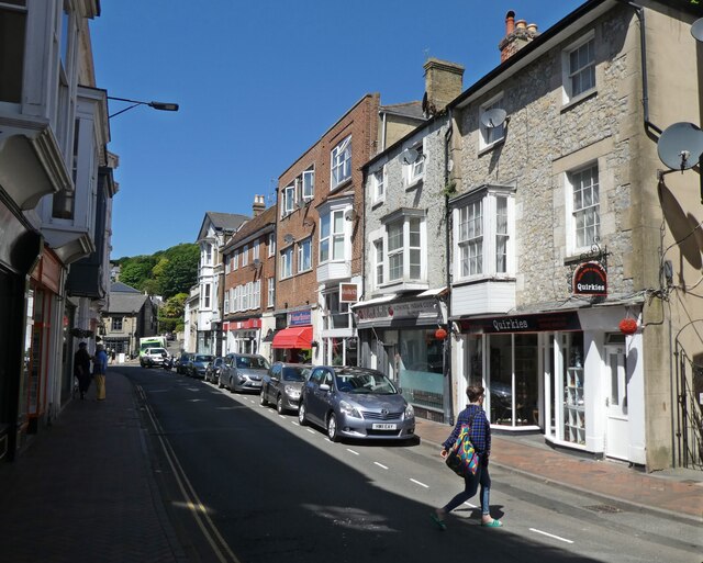
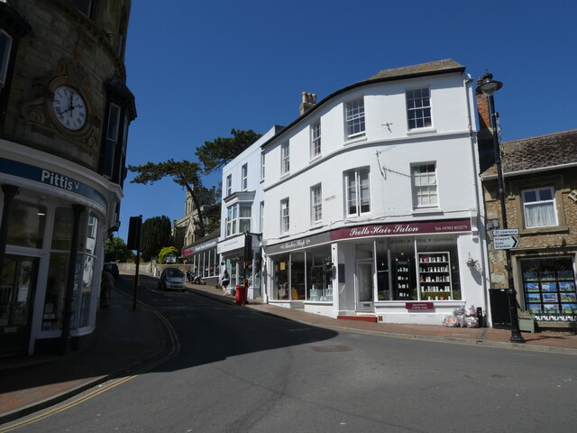
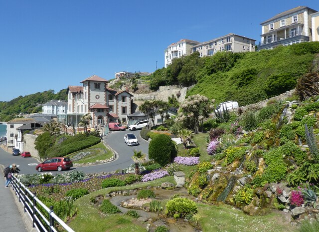
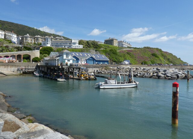
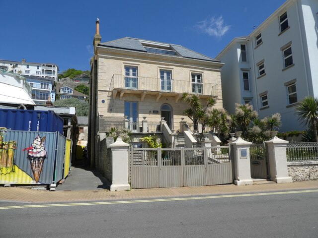
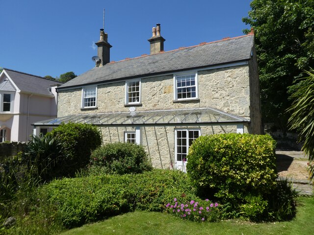
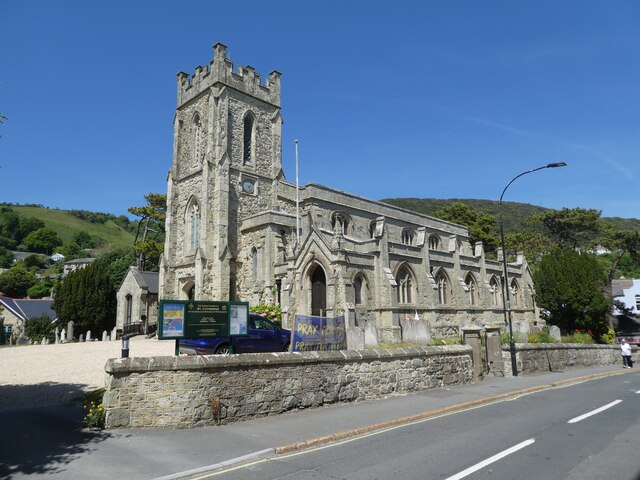
Bonchurch Down Images

Images are sourced within 2km of 50.604146/-1.1867952 or Grid Reference SZ5778. Thanks to Geograph Open Source API. All images are credited.

Car park in Shore Road
Seats in Shore Road
Seats in Shore Road
Cliff House, Bonchurch
The Ventnor Gas & Water Co. building The former pumping station carries a plaque dating it from 1883.
The Ventnor Gas & Water Co. building
The former pumping station carries a plaque dating it from 1883.
Bonchurch Village Road
Turning for Trinity Road
The beach at Ventnor
Trinity Church, Ventnor
St Wilfred's Catholic Church, Ventnor
The Boniface Arms
The Boniface Arms
Mural at 99 High Street
High Street, Ventnor
Church Street
Church Street
Cascade Gardens, Ventnor
Ventnor Haven
Ventnor Haven
Villa Amanti
Villa Amanti
Cove Cottage
Cove Cottage
St Catherine's Church, Ventnor
Show me another place!

Bonchurch Down is located at Grid Ref: SZ5778 (Lat: 50.604146, Lng: -1.1867952)

Unitary Authority: Isle of Wight

Police Authority: Hampshire

What 3 Words

///those.proper.scrapped. Near Ventnor, Isle of Wight

Related Wikis

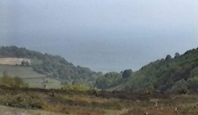
Dunnose, Isle of Wight

Dunnose is a cape on the Isle of Wight in the English Channel. The headland is visible from well out to sea, and is used in navigation. It has twice been...

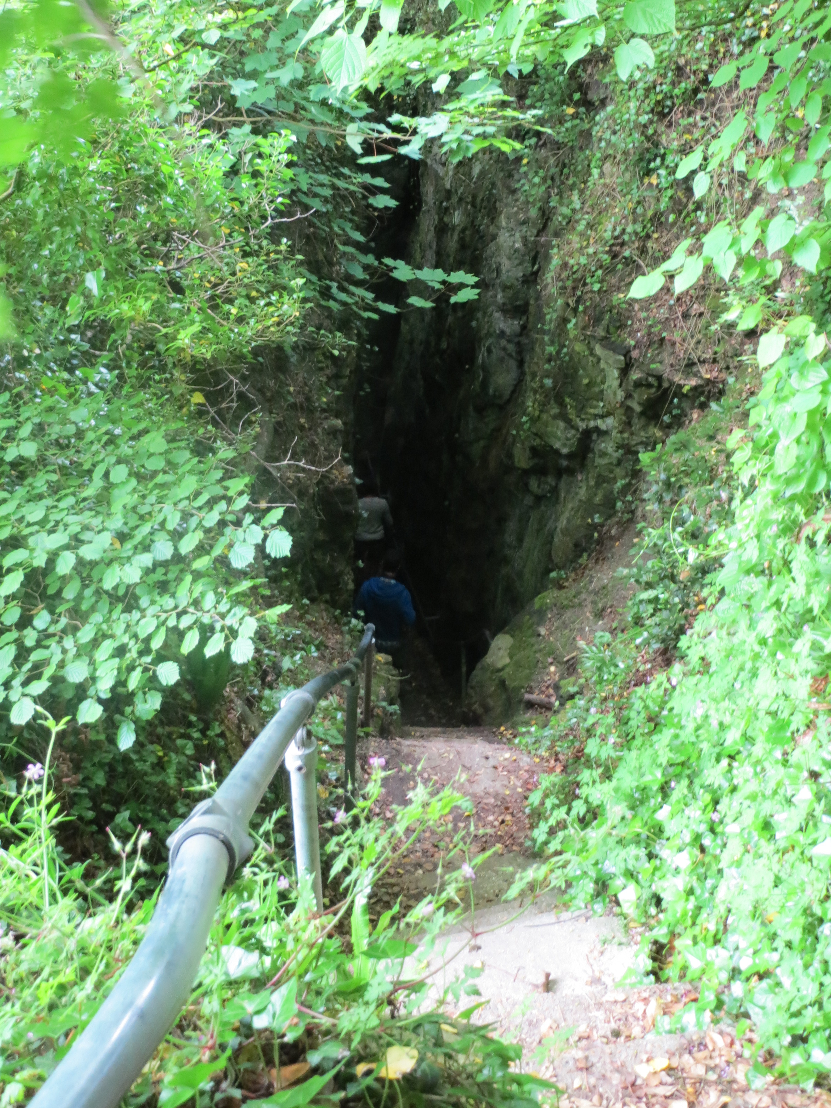
Devil's Chimney (Isle of Wight)

The Devil's Chimney was a scenic rock cleft with steps that descended into the Bonchurch Landslips between Bonchurch and Luccombe, Isle of Wight. A large...

St Boniface Church, Bonchurch

St Boniface Church, Bonchurch is a parish church in the Church of England located in Bonchurch, Isle of Wight. == History == The church dates from 1847...

RAF Ventnor

Royal Air Force Ventnor or more simply RAF Ventnor is a former Royal Air Force radar station located 0.7 miles (1.1 km) north east of Ventnor on the Isle...

Nearby Amenities

Located within 500m of 50.604146,-1.1867952
Tourism: viewpoint
Lat/Long: 50.6061472/-1.1844132
Source: Bing
Lat/Long: 50.6019017/-1.1899097
Tourism: viewpoint
Lat/Long: 50.6042863/-1.1907189
Source: Bing
Lat/Long: 50.6010189/-1.1898443
Hazard: cliff
Lat/Long: 50.6023728/-1.1804724
Tourism: viewpoint
Lat/Long: 50.6049214/-1.1906914
Hazard: cliff
Lat/Long: 50.6048633/-1.1811357
Source: Bing
Lat/Long: 50.6005182/-1.1886664
Hazard: cliff
Lat/Long: 50.6057125/-1.1806231
Post Box
Collection Times: Mo-Fr 16:45, Sa 11:15
Mapillary: 923667868411421
Operator: Royal Mail
Operator Wikidata: Q638098
Post Box Mounting: stone_wall
Post Box Type: wall
Ref: PO38 202
Ref GB Uprn: 10015370210
Royal Cypher: GVIR
Royal Cypher Wikidata: Q33102169
Survey Date: 2020-07-01
Website: https://www.royalmail.com/services-near-you/postbox/upper-bonchurch-po37-6bz/000PO38202
Lat/Long: 50.6023745/-1.1845168
Bus Stop
Bonchurch Car Park
Bench: yes
Bin: no
Bus: yes
Contact Website: https://www.islandbuses.info/stops/230000003190
Lit: no
Naptan AtcoCode: 230000003190
Naptan Bearing: S
Naptan CommonName: Landslip Car Park
Naptan Indicator: adj
Naptan NaptanCode: iowdadw
Naptan Street: Leeson Road
Public Transport: platform
Shelter: no
Source: naptan_import
Source Name: Southern Vectis
Tactile Paving: no
Lat/Long: 50.6066785/-1.1811256
Source: Locally rectified NPE map
Lat/Long: 50.6063571/-1.1906915
Source: Locally rectified NPE map
Lat/Long: 50.607326/-1.1906136
Source: Bing
Lat/Long: 50.6016804/-1.1923251
Source: Bing
Lat/Long: 50.6018051/-1.1914064
Source: Bing
Lat/Long: 50.6021533/-1.1889535
Source: Bing
Lat/Long: 50.6027937/-1.1870677
Source: Bing
Lat/Long: 50.6032612/-1.1851496
Source: Locally rectified NPE map
Lat/Long: 50.6040578/-1.1825841
Upper Bonchurch
Is In: Ventnor, Isle of Wight, England
Place: village
Lat/Long: 50.6025183/-1.1851126
Was Amenity: toilets
Lat/Long: 50.6052538/-1.1811232
Bench
Lat/Long: 50.603992/-1.1907472
Source: Bing
Lat/Long: 50.6003797/-1.1891037
Bus Stop
Bonchurch Car Park
Bench: no
Bus: yes
Contact Website: https://www.islandbuses.info/stops/230000003180
Naptan AtcoCode: 230000003180
Naptan Bearing: N
Naptan CommonName: Landslip Car Park
Naptan Indicator: opp
Naptan NaptanCode: iowdadt
Naptan Street: Leeson Road
Public Transport: platform
Shelter: no
Source: naptan_import
Source Name: Southern Vectis
Tactile Paving: no
Lat/Long: 50.6069742/-1.1813665
Bus Stop
Bonchurch letter box
Bench: yes
Bus: yes
Contact Website: https://www.islandbuses.info/stops/230000003330
Naptan AtcoCode: 230000003330
Naptan Bearing: NE
Naptan CommonName: Upper Bonchurch Letter Box
Naptan Indicator: opp
Naptan NaptanCode: iowdajw
Naptan Street: Leeson Road
Public Transport: platform
Shelter: no
Source: naptan_import
Survey Date: 2019-12-30
Tactile Paving: no
Lat/Long: 50.6026575/-1.1844008
Bus Stop
Bonchurch letter box
Bench: no
Bin: no
Bus: yes
Contact Website: https://www.islandbuses.info/stops/230000003340
Lit: no
Naptan AtcoCode: 230000003340
Naptan Bearing: SW
Naptan CommonName: Upper Bonchurch Letter Box
Naptan Indicator: adj
Naptan NaptanCode: iowdama
Naptan Street: Leeson Road
Public Transport: platform
Shelter: no
Source: naptan_import
Survey Date: 2019-12-30
Tactile Paving: no
Lat/Long: 50.6022742/-1.1848467
Bus Stop
Bonchurch Inn
Bench: no
Bus: yes
Naptan AtcoCode: 230000003400
Naptan Bearing: SW
Naptan CommonName: Bonchurch Inn
Naptan Indicator: Adj
Naptan Landmark: Bonchurch Inn
Naptan NaptanCode: iowdamw
Naptan Street: Bonchurch Shute
Naptan Verified: no
Public Transport: platform
Shelter: no
Source: naptan_import
Tactile Paving: no
Lat/Long: 50.6009374/-1.1859225
Bus Stop
Rosecliff Court
Bench: no
Bin: no
Bus: yes
Contact Website: https://www.islandbuses.info/stops/230000003520
Lit: no
Naptan AtcoCode: 230000003520
Naptan Bearing: N
Naptan CommonName: Rosecliff Court
Naptan Indicator: towards Shanklin
Naptan NaptanCode: iowdatm
Public Transport: platform
Shelter: no
Source: naptan_import
Tactile Paving: no
Lat/Long: 50.607311/-1.1877786
Bus Stop
Rosecliff Court
Bench: no
Bin: no
Bus: yes
Contact Website: https://www.islandbuses.info/stops/230000003530
Lit: no
Naptan AtcoCode: 230000003530
Naptan Bearing: S
Naptan CommonName: Rosecliff Court
Naptan Indicator: towards Ventnor
Naptan NaptanCode: iowdatp
Public Transport: platform
Shelter: no
Source: naptan_import
Tactile Paving: no
Lat/Long: 50.6074156/-1.1876378
Bus Stop
Chimney Steps
Bench: yes
Bin: no
Bus: yes
Contact Website: https://www.islandbuses.info/stops/230000003600
Lit: no
Naptan AtcoCode: 230000003600
Naptan Bearing: NE
Naptan CommonName: Chimney Steps
Naptan Indicator: opp
Naptan NaptanCode: iowdawp
Naptan Street: Leeson Road
Public Transport: platform
Shelter: no
Source: naptan_import
Tactile Paving: no
Lat/Long: 50.6013246/-1.1887621
Bus Stop
Chimney Steps
Bench: no
Bin: no
Bus: yes
Contact Website: https://www.islandbuses.info/stops/230000003610
Lit: no
Naptan AtcoCode: 230000003610
Naptan Bearing: SW
Naptan CommonName: Chimney Steps
Naptan Indicator: adj
Naptan NaptanCode: iowdawt
Naptan Street: Leeson Road
Public Transport: platform
Shelter: no
Source: naptan_import
Tactile Paving: no
Lat/Long: 50.6010607/-1.18921
Bus Stop
Bonchurch Inn
Bus: yes
Naptan AtcoCode: 230000084
Naptan NaptanCode: iowmdpj
Public Transport: platform
Shelter: no
Lat/Long: 50.6010027/-1.1859168
Bus Stop
Bonchurch Shute
Bench: no
Bin: no
Bus: yes
Naptan AtcoCode: 2300485
Naptan Bearing: SW
Naptan CommonName: Bonchurch Shute
Naptan Indicator: adj
Naptan Landmark: Bottom of Shute
Naptan NaptanCode: iowmjgp
Naptan Street: Bonchurch Shute
Naptan Verified: no
Passenger Information Display: no
Physically Present: no
Public Transport: platform
Shelter: no
Source: naptan_import
Survey Date: 2019-12-30
Tactile Paving: no
Lat/Long: 50.6024111/-1.1829832
Source: Bing
Lat/Long: 50.6008184/-1.1888009
Tourism: viewpoint
Lat/Long: 50.6015271/-1.1867608
Post Box
Check Date: 2024-01-07
Check Date Collection Times: 2024-01-07
Check Date Ref: 2024-01-07
Collection Times: Mo-Fr 09:00; Sa 07:00; Su off
Mapillary: 460338111931471
Operator: Royal Mail
Operator Wikidata: Q638098
Post Box Type: pillar
Ref: PO38 213D
Ref GB Uprn: 10015365917
Royal Cypher: no
Website: https://www.royalmail.com/services-near-you/postbox/bonchurch-hill-po37-6bz/000PO38213
Lat/Long: 50.6004891/-1.1872605
Source: Bing
Lat/Long: 50.6020045/-1.1906725
Source: Bing
Lat/Long: 50.6018894/-1.1902168
Source: Bing
Lat/Long: 50.6024942/-1.1880523
Source: Bing
Lat/Long: 50.6038126/-1.1836776
Source: Bing
Lat/Long: 50.6047253/-1.1821059
Source: Bing
Lat/Long: 50.6065933/-1.1811277
Source: Bing
Lat/Long: 50.6031279/-1.1860444
Barrier: stile
Lat/Long: 50.6062443/-1.1839981
Barrier: kissing_gate
Lat/Long: 50.6047129/-1.1820609
Barrier: kissing_gate
Lat/Long: 50.6049894/-1.181935
Bonchurch Down
Ele: 219
Ele Ft: 717
Man Made: survey_point
Natural: peak
Note: height in ft converted to metres using 1m = 3.28ft
Source: OS 1:25k
Lat/Long: 50.6048839/-1.1865329
Bonchurch Down
Note: os shows a 'down' as the historical slope. rather than the summit of a hill
Place: locality
Source: os_1.25k
Lat/Long: 50.6040259/-1.1866509
Noexit: yes
Lat/Long: 50.601362/-1.1845331
Hiking: yes
Information: guidepost
Tourism: information
Lat/Long: 50.607673/-1.1827067
Hiking: yes
Information: guidepost
Tourism: information
Lat/Long: 50.6069972/-1.1813682
Hiking: yes
Information: guidepost
Tourism: information
Lat/Long: 50.6050094/-1.1816217
Board Type: notice
Information: board
Tourism: information
Lat/Long: 50.6024109/-1.1830225
Power: substation
Ref GB Uprn: 10024887078
Lat/Long: 50.6021579/-1.1851079
Power: substation
Ref GB Uprn: 10024899512
Lat/Long: 50.600727/-1.1908928
Access: no
Barrier: fence
Lat/Long: 50.6063371/-1.1811095
Historic: memorial
Material: metal
Memorial: plaque
Openplaques Id: 54688
Operator: Ventnor & District Local History Council
Lat/Long: 50.6009547/-1.1863115
Bench
Backrest: yes
Colour: brown
Material: wood
Lat/Long: 50.6066836/-1.1810698
Bench
Lat/Long: 50.6023669/-1.1819382
Bench
Lat/Long: 50.6025763/-1.1845359
Barrier: stile
Material: wood
Stile: stepover
Lat/Long: 50.6072481/-1.1878143
Telephone
Booth: KX100
Covered: booth
Operator: BT
Ref GB Uprn: 10024890230
Lat/Long: 50.6024881/-1.1846946
Power: substation
Ref GB Uprn: 10024891279
Lat/Long: 50.6004684/-1.1886682
Generator Source: solar
Power: generator
Lat/Long: 50.6014953/-1.1897327
Generator Source: solar
Location: roof
Power: generator
Lat/Long: 50.6012527/-1.1908056
Defibrillator
Emergency: defibrillator
Indoor: no
Level: 0
Opening Hours: 24/7
Lat/Long: 50.6008909/-1.1865033
Barrier: kissing_gate
Lat/Long: 50.6050382/-1.1819361
Hazard: cliff
Lat/Long: 50.6056541/-1.1809919
Hazard: cliff
Lat/Long: 50.6053698/-1.1811736
Street Lamp
Lat/Long: 50.6068184/-1.1811253
Bench
Backrest: yes
Material: wood
Lat/Long: 50.6057894/-1.1808749
Bicycle Parking
Capacity: 2
Lat/Long: 50.6066615/-1.1810472
Defibrillator
Defibrillator Location: On the right hand side of the driveway
Emergency: defibrillator
Lat/Long: 50.6024272/-1.1840991
Bench
Backrest: yes
Material: wood
Lat/Long: 50.6015907/-1.1843476
Bench
Backrest: yes
Material: wood
Lat/Long: 50.6015715/-1.184393
Addr Housename: Yaffles
Lat/Long: 50.600334/-1.1874589
Access: no
Barrier: fence
Lat/Long: 50.6023632/-1.1830611
The data included in this document is from www.openstreetmap.org. The data is made available under ODbL.

Have you been to Bonchurch Down?

Leave your review of Bonchurch Down below (or comments, questions and feedback).