Diana Field

Downs, Moorland in Yorkshire Hambleton

England

Diana Field

War memorial, Sutton on the Forest Stands in the churchyard of All Hallows church.
War memorial, Sutton on the Forest Credit: Pauline E

Diana Field is a picturesque area located in the county of Yorkshire, England. Situated amidst the beautiful landscape of the Yorkshire Downs and Moorland, it is a place of natural beauty and tranquility.

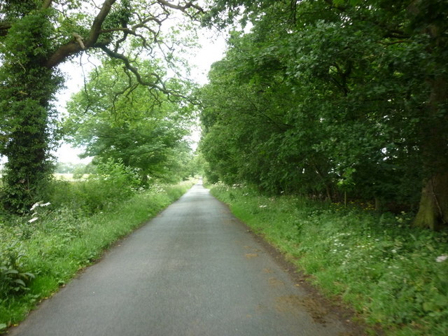
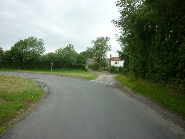
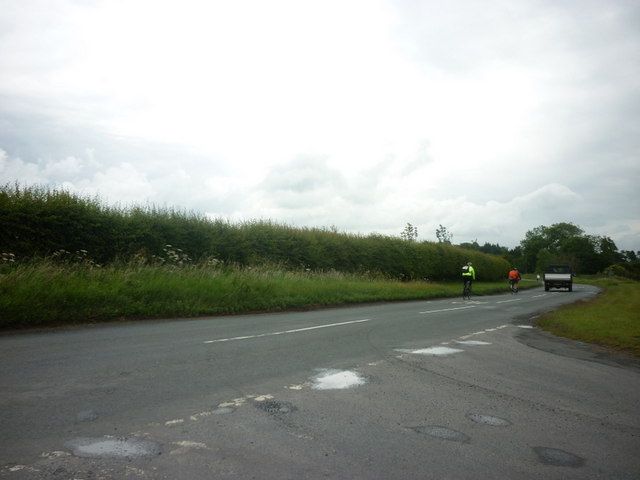
The Downs in this region are characterized by rolling hills, vast open spaces, and lush green meadows. The landscape is dotted with traditional stone walls and grazing sheep, creating a charming rural atmosphere. The area is also known for its vibrant wildflower displays during the summer months, adding bursts of color to the already stunning scenery.

Adjacent to the Downs, the Moorland offers a unique contrast with its rugged terrain, heather-covered hills, and expansive open spaces. This untamed landscape provides a haven for various wildlife species, including grouse, curlews, and hares. The moors are also home to several walking trails and paths, allowing visitors to explore and immerse themselves in the beauty of nature.

Diana Field itself is an idyllic spot within this natural haven, offering visitors a peaceful retreat from the hustle and bustle of city life. The area is perfect for outdoor enthusiasts, providing opportunities for hiking, cycling, birdwatching, and photography. Its untouched beauty and serene atmosphere make it an ideal destination for those seeking solace in nature.

Overall, Diana Field in Yorkshire is a true gem, offering a combination of stunning landscapes, abundant wildlife, and a sense of tranquility that is hard to find elsewhere.

If you have any feedback on the listing, please let us know in the comments section below.
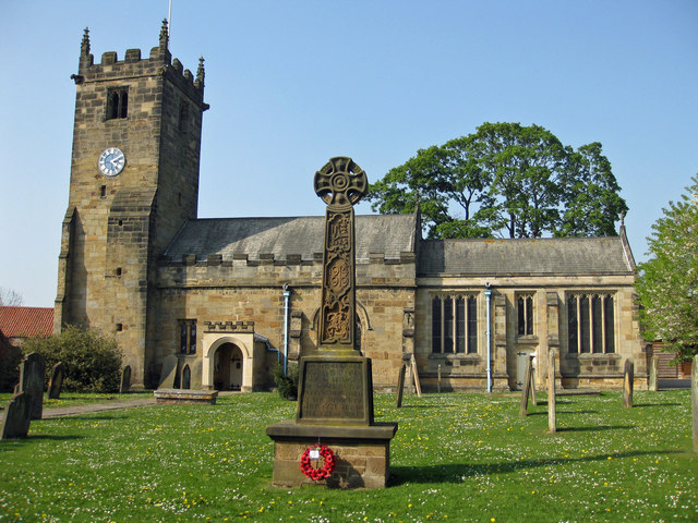
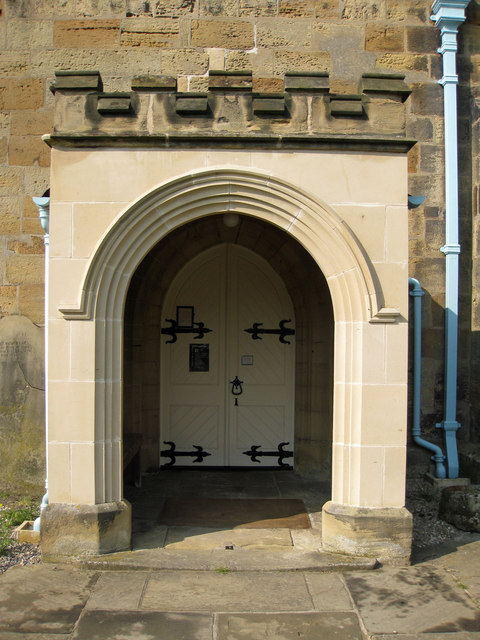
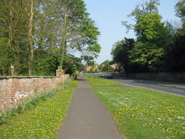
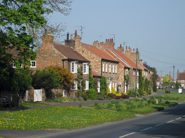
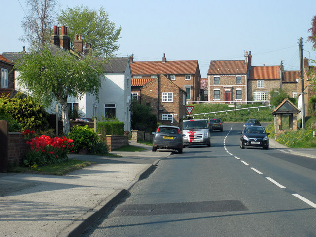
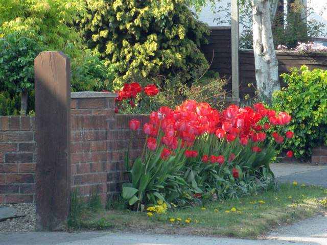
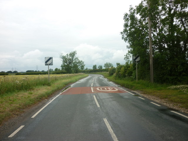
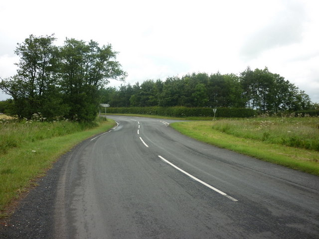
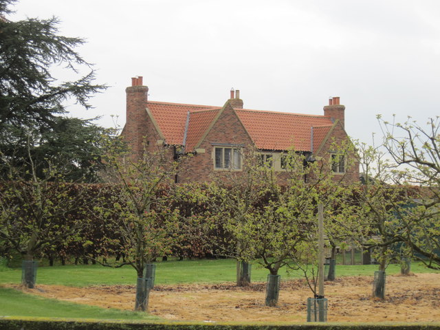
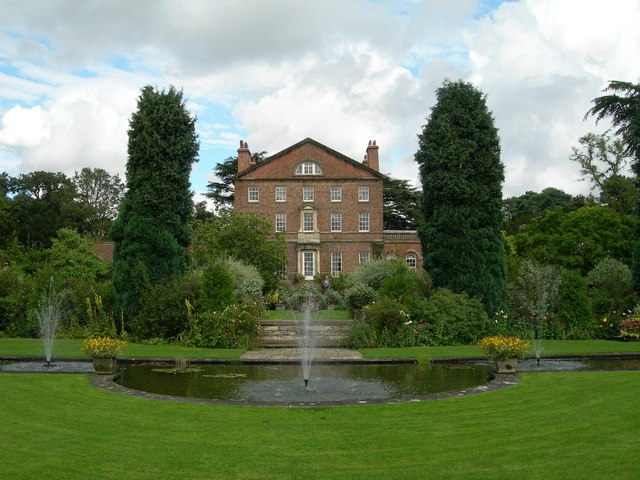
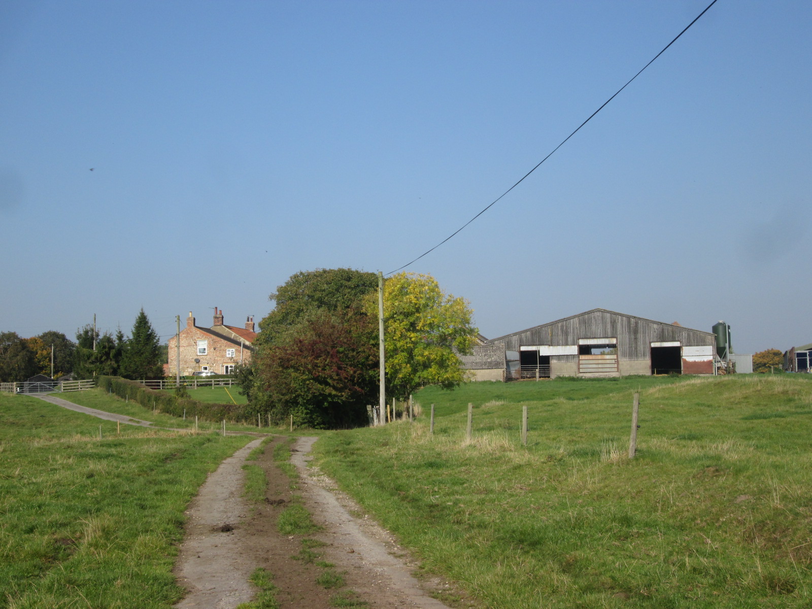
Diana Field Images

Images are sourced within 2km of 54.089649/-1.1200654 or Grid Reference SE5766. Thanks to Geograph Open Source API. All images are credited.

War memorial, Sutton on the Forest Stands in the churchyard of All Hallows church.
War memorial, Sutton on the Forest
Stands in the churchyard of All Hallows church.
Restoration work on the church porch New stones support the weathered yellow crenellations. See also <a href="https://www.geograph.org.uk/photo/2372753">SE5864 : War memorial, Sutton on the Forest</a>
Restoration work on the church porch
New stones support the weathered yellow crenellations. See also SE5864 : War memorial, Sutton on the Forest
Wide verges View along the B1363.
Wide verges
View along the B1363.
Cottages, Sutton on the Forest View along the B1363.
Cottages, Sutton on the Forest
View along the B1363.
Carr Lane, Stillington The B1363, heading towards Main Street with its elevated houses.
Carr Lane, Stillington
The B1363, heading towards Main Street with its elevated houses.
Floral display on Carr Lane A lovely splash of roadside red.
Floral display on Carr Lane
A lovely splash of roadside red.
The B1363 out of Sutton-on-the-Forest
The B1363 at Moxby Lane
Roseberry Lane towards Huby
Roseberry Lane at Pennyflats Farm
A minor road to Stillington
St Nicholas' Parish Church The Parish Church of St Nicholas is at the centre of the village of Stillington on Main Street, opposite the junction with Carr Lane. The dates back to the 12th Century, although the first vicar to be named was Peter de Topcliffe, who took up his post in 1329. 

Much of the present structure was rebuilt in 1840; it is a Grdae II* Listed Building

<span class="nowrap"><a title="http://www.stillingtonvillage.org/history.htm" rel="nofollow ugc noopener" href="http://www.stillingtonvillage.org/history.htm">Link</a><img style="margin-left:2px;" alt="External link" title="External link - shift click to open in new window" src="https://s1.geograph.org.uk/img/external.png" width="10" height="10"/></span> - Stillingtonvillage.org
<span class="nowrap"><a title="http://www.britishlistedbuildings.co.uk/en-382347-church-of-st-nicholas-stillington" rel="nofollow ugc noopener" href="http://www.britishlistedbuildings.co.uk/en-382347-church-of-st-nicholas-stillington">Link</a><img style="margin-left:2px;" alt="External link" title="External link - shift click to open in new window" src="https://s1.geograph.org.uk/img/external.png" width="10" height="10"/></span> - British Listed Buildings
St Nicholas' Parish Church
The Parish Church of St Nicholas is at the centre of the village of Stillington on Main Street, opposite the junction with Carr Lane. The dates back to the 12th Century, although the first vicar to be named was Peter de Topcliffe, who took up his post in 1329. Much of the present structure was rebuilt in 1840; it is a Grdae II* Listed Building LinkExternal link - Stillingtonvillage.org LinkExternal link - British Listed Buildings
The White Bear, Stillington The White Bear Inn, on Main Street, Stillington.
The White Bear, Stillington
The White Bear Inn, on Main Street, Stillington.
White Bear Inn Sign Sign outside <a href="https://www.geograph.org.uk/photo/2554940">SE5867 : The White Bear, Stillington</a>.
White Bear Inn Sign
St Nicholas' Church, Stillington The Parish Church of St Nicholas is at the centre of the village of Stillington on Main Street, opposite the junction with Carr Lane. The dates back to the 12th Century, although the first vicar to be named was Peter de Topcliffe, who took up his post in 1329. 

Much of the present structure was rebuilt in 1840; it is a Grdae II* Listed Building

<span class="nowrap"><a title="http://www.stillingtonvillage.org/history.htm" rel="nofollow ugc noopener" href="http://www.stillingtonvillage.org/history.htm">Link</a><img style="margin-left:2px;" alt="External link" title="External link - shift click to open in new window" src="https://s1.geograph.org.uk/img/external.png" width="10" height="10"/></span> - Stillingtonvillage.org
<span class="nowrap"><a title="http://www.britishlistedbuildings.co.uk/en-382347-church-of-st-nicholas-stillington" rel="nofollow ugc noopener" href="http://www.britishlistedbuildings.co.uk/en-382347-church-of-st-nicholas-stillington">Link</a><img style="margin-left:2px;" alt="External link" title="External link - shift click to open in new window" src="https://s1.geograph.org.uk/img/external.png" width="10" height="10"/></span> - British Listed Buildings
St Nicholas' Church, Stillington
The Parish Church of St Nicholas is at the centre of the village of Stillington on Main Street, opposite the junction with Carr Lane. The dates back to the 12th Century, although the first vicar to be named was Peter de Topcliffe, who took up his post in 1329. Much of the present structure was rebuilt in 1840; it is a Grdae II* Listed Building LinkExternal link - Stillingtonvillage.org LinkExternal link - British Listed Buildings
St Nicholas' Parish Church The Parish Church of St Nicholas is at the centre of the village of Stillington on Main Street, opposite the junction with Carr Lane. The dates back to the 12th Century, although the first vicar to be named was Peter de Topcliffe, who took up his post in 1329. 

Much of the present structure was rebuilt in 1840; it is a Grdae II* Listed Building

<span class="nowrap"><a title="http://www.stillingtonvillage.org/history.htm" rel="nofollow ugc noopener" href="http://www.stillingtonvillage.org/history.htm">Link</a><img style="margin-left:2px;" alt="External link" title="External link - shift click to open in new window" src="https://s1.geograph.org.uk/img/external.png" width="10" height="10"/></span> - Stillingtonvillage.org
<span class="nowrap"><a title="http://www.britishlistedbuildings.co.uk/en-382347-church-of-st-nicholas-stillington" rel="nofollow ugc noopener" href="http://www.britishlistedbuildings.co.uk/en-382347-church-of-st-nicholas-stillington">Link</a><img style="margin-left:2px;" alt="External link" title="External link - shift click to open in new window" src="https://s1.geograph.org.uk/img/external.png" width="10" height="10"/></span> - British Listed Buildings
St Nicholas' Parish Church
The Parish Church of St Nicholas is at the centre of the village of Stillington on Main Street, opposite the junction with Carr Lane. The dates back to the 12th Century, although the first vicar to be named was Peter de Topcliffe, who took up his post in 1329. Much of the present structure was rebuilt in 1840; it is a Grdae II* Listed Building LinkExternal link - Stillingtonvillage.org LinkExternal link - British Listed Buildings
The Parish Church of St Nicholas, Stillington The Parish Church of St Nicholas is at the centre of the village of Stillington on Main Street, opposite the junction with Carr Lane. The dates back to the 12th Century, although the first vicar to be named was Peter de Topcliffe, who took up his post in 1329. 

Much of the present structure was rebuilt in 1840; it is a Grdae II* Listed Building

<span class="nowrap"><a title="http://www.stillingtonvillage.org/history.htm" rel="nofollow ugc noopener" href="http://www.stillingtonvillage.org/history.htm">Link</a><img style="margin-left:2px;" alt="External link" title="External link - shift click to open in new window" src="https://s1.geograph.org.uk/img/external.png" width="10" height="10"/></span> - Stillingtonvillage.org
<span class="nowrap"><a title="http://www.britishlistedbuildings.co.uk/en-382347-church-of-st-nicholas-stillington" rel="nofollow ugc noopener" href="http://www.britishlistedbuildings.co.uk/en-382347-church-of-st-nicholas-stillington">Link</a><img style="margin-left:2px;" alt="External link" title="External link - shift click to open in new window" src="https://s1.geograph.org.uk/img/external.png" width="10" height="10"/></span> - British Listed Buildings
The Parish Church of St Nicholas, Stillington
The Parish Church of St Nicholas is at the centre of the village of Stillington on Main Street, opposite the junction with Carr Lane. The dates back to the 12th Century, although the first vicar to be named was Peter de Topcliffe, who took up his post in 1329. Much of the present structure was rebuilt in 1840; it is a Grdae II* Listed Building LinkExternal link - Stillingtonvillage.org LinkExternal link - British Listed Buildings
House  at  Moxby  Priory  Farm  through  Orchard
House at Moxby Priory Farm through Orchard
Show me another place!

Diana Field is located at Grid Ref: SE5766 (Lat: 54.089649, Lng: -1.1200654)

Division: North Riding

Administrative County: North Yorkshire

District: Hambleton

Police Authority: North Yorkshire

What 3 Words

///welcome.grow.beginning. Near Easingwold, North Yorkshire

Nearby Locations

Diana Field Middle Field

Related Wikis

Huby, Hambleton

Huby is a village and civil parish in the Hambleton District of North Yorkshire, England, about nine and a half miles north of York and five miles south...

Stillington, North Yorkshire

Stillington is a village and civil parish in the district and county of North Yorkshire, England. It lies on the York to Helmsley road about 10 miles...

Sutton Park, North Yorkshire

Sutton Park is an 18th-century Georgian English country house situated on the edge of the village of Sutton-on-the-Forest, North Yorkshire. It is approximately...

Sutton-on-the-Forest

Sutton-on-the-Forest is a village and civil parish in North Yorkshire, England. It is 8 miles (13 km) north of York and 4.4 miles (7 km) south-east of...

Moxby Priory

Moxby Priory is the commonly used name of the former Augustinian nunnery of S. John the Apostle in today's parish of Marton-cum-Moxby, North Yorkshire...

Raskelf

Raskelf is a village and civil parish in North Yorkshire, England. The electoral roll has a population of around 400 measured at 519 in the 2011 census...

Marton-cum-Moxby

Marton-cum-Moxby is a civil parish in North Yorkshire, England. The population of the parish was less than 100 at the time of the 2011 Census, therefore...

Marton Priory

Marton Priory was a priory in North Yorkshire, England. It was founded in 1154 and was occupied by Augustinian Monks and Benedictine nuns though the nuns...

Nearby Amenities

Located within 500m of 54.089649,-1.1200654
Power: tower
Lat/Long: 54.088394/-1.1137781
Power: tower
Lat/Long: 54.0893641/-1.1194835
Power: tower
Lat/Long: 54.0901932/-1.1242081
Barrier: stile
Steps: 1
Stile: stepover
Lat/Long: 54.0918757/-1.1138692
Power: pole
Lat/Long: 54.0932336/-1.1171231
Barrier: stile
Dog Gate: yes
Steps: 1
Stile: stepover
Lat/Long: 54.0863309/-1.1205608
Bus Stop
Physically Present: no
Lat/Long: 54.0908041/-1.1180602
Bus Stop
Departures Board: timetable
Lat/Long: 54.0908844/-1.1181326
The data included in this document is from www.openstreetmap.org. The data is made available under ODbL.

Have you been to Diana Field?

Leave your review of Diana Field below (or comments, questions and feedback).