Middle Field
Downs, Moorland in Yorkshire Hambleton
England
Middle Field
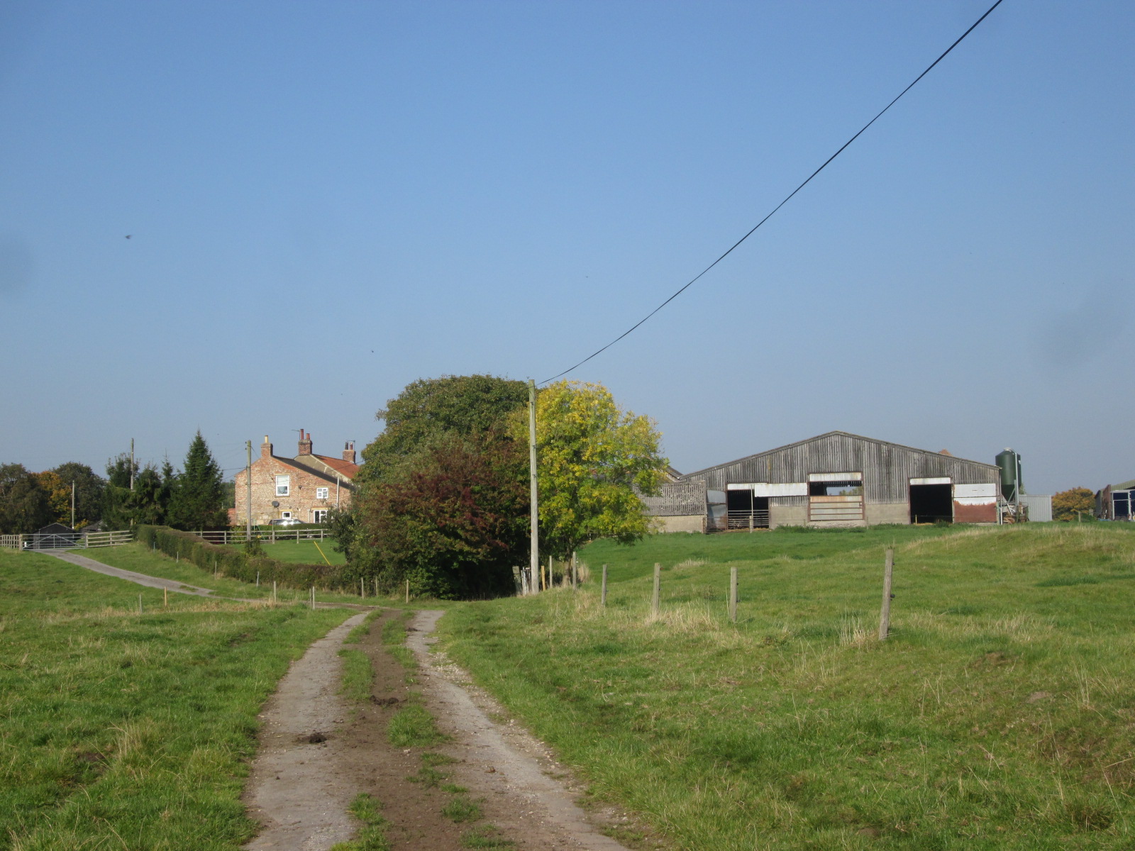
Middle Field is a picturesque region located in the county of Yorkshire, England. It is known for its diverse landscape, characterized by rolling downs and vast moorland. With an elevation ranging from 200 to 400 meters, Middle Field offers stunning panoramic views of the surrounding countryside.
The area is rich in natural beauty, showcasing vibrant green meadows dotted with colorful wildflowers during the summer months. The downs, gentle slopes covered in lush grass, provide a perfect setting for leisurely walks and picnics. Visitors can enjoy the tranquility of the countryside, while also spotting various bird species and small mammals that call Middle Field their home.
The moorland in Middle Field is a unique feature, covering large areas with heather and gorse. The landscape takes on a completely different character here, with its rugged terrain and a sense of wilderness. Exploring the moorland offers a chance to witness the beauty of nature in its raw form, with its vast expanses stretching as far as the eye can see.
Middle Field is also known for its historical significance. The region boasts ancient sites and landmarks, including burial mounds and stone circles, which bear witness to its rich cultural heritage. These historical remnants provide a glimpse into the lives of the people who inhabited the area centuries ago.
With its varied terrain, stunning landscapes, and historical importance, Middle Field in Yorkshire is a destination that appeals to nature enthusiasts, history buffs, and those seeking a peaceful retreat amidst the beauty of the British countryside.
If you have any feedback on the listing, please let us know in the comments section below.
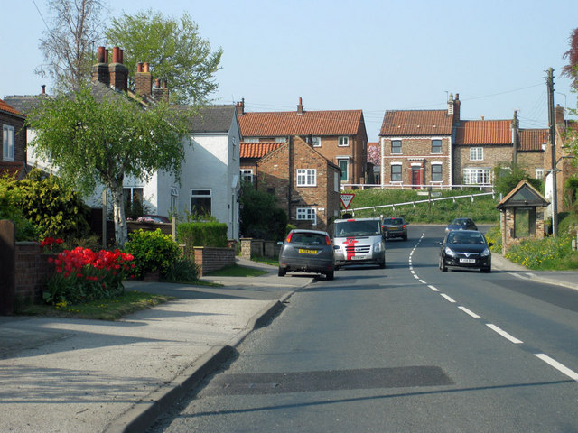
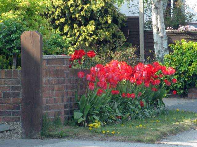
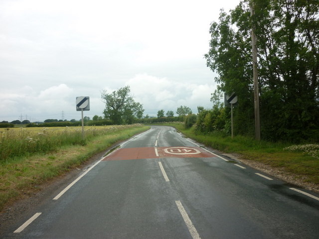
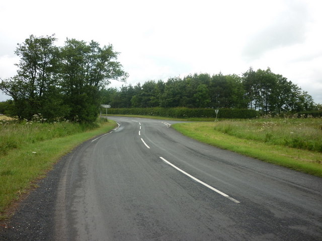
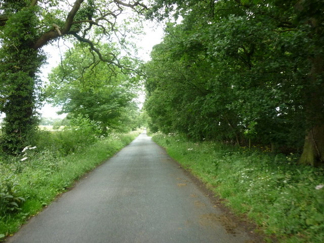
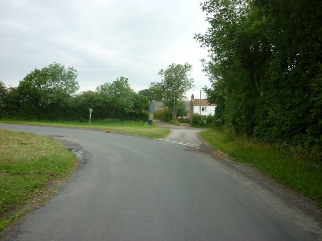
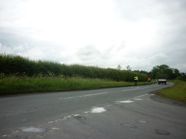
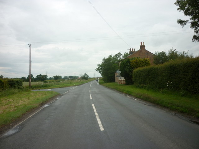
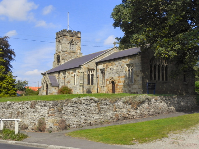
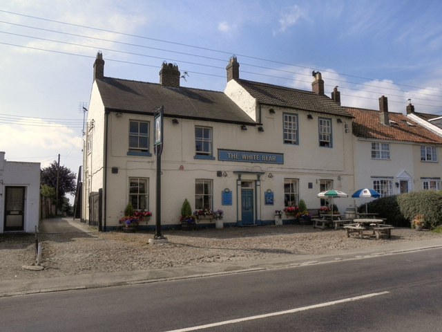
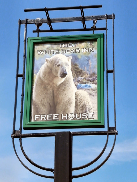
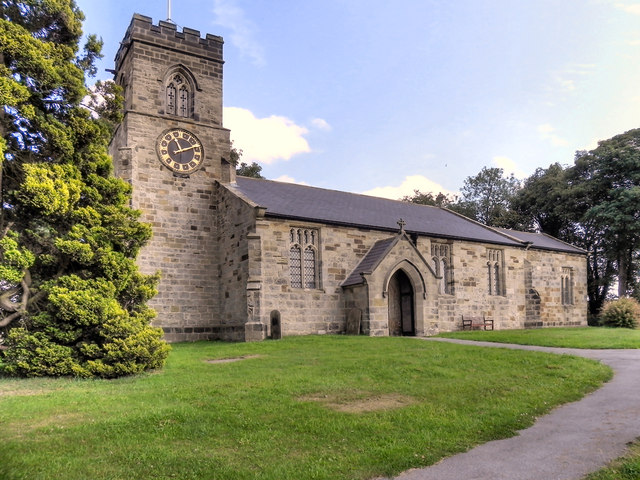
Middle Field Images
Images are sourced within 2km of 54.091646/-1.1265211 or Grid Reference SE5766. Thanks to Geograph Open Source API. All images are credited.


Middle Field is located at Grid Ref: SE5766 (Lat: 54.091646, Lng: -1.1265211)
Division: North Riding
Administrative County: North Yorkshire
District: Hambleton
Police Authority: North Yorkshire
What 3 Words
///tanks.jars.ogre. Near Easingwold, North Yorkshire
Nearby Locations
Related Wikis

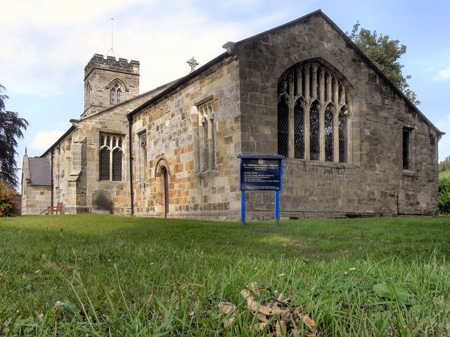
Huby, Hambleton
Huby is a village and civil parish in the Hambleton District of North Yorkshire, England, about nine and a half miles north of York and five miles south...

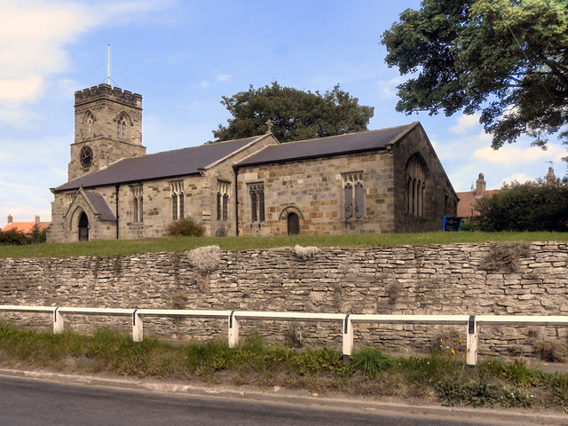
Stillington, North Yorkshire
Stillington is a village and civil parish in the district and county of North Yorkshire, England. It lies on the York to Helmsley road about 10 miles...

Raskelf
Raskelf is a village and civil parish in North Yorkshire, England. The electoral roll has a population of around 400 measured at 519 in the 2011 census...
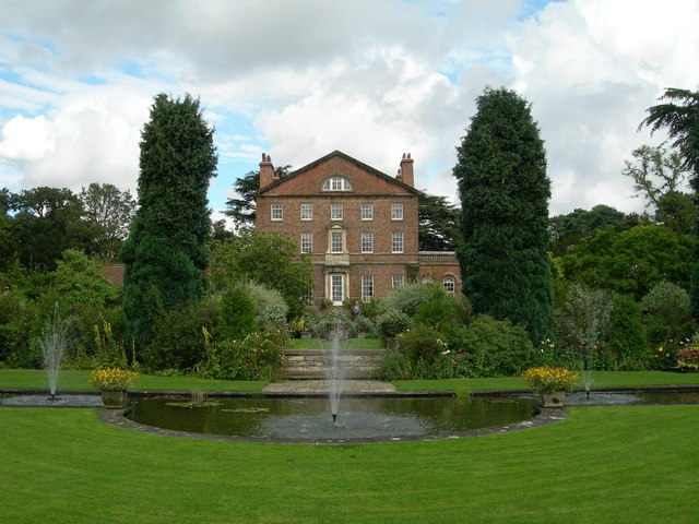
Sutton Park, North Yorkshire
Sutton Park is an 18th-century Georgian English country house situated on the edge of the village of Sutton-on-the-Forest, North Yorkshire. It is approximately...

Sutton-on-the-Forest
Sutton-on-the-Forest is a village and civil parish in North Yorkshire, England. It is 8 miles (13 km) north of York and 4.4 miles (7 km) south-east of...

Moxby Priory
Moxby Priory is the commonly used name of the former Augustinian nunnery of S. John the Apostle in today's parish of Marton-cum-Moxby, North Yorkshire...
Marton Priory
Marton Priory was a priory in North Yorkshire, England. It was founded in 1154 and was occupied by Augustinian Monks and Benedictine nuns though the nuns...

Marton-cum-Moxby
Marton-cum-Moxby is a civil parish in North Yorkshire, England. The population of the parish was less than 100 at the time of the 2011 Census, therefore...
Related Videos

Pear Tree House, Holiday Cottage, North Yorkshire
A video introducing Pear Tree, a beautiful holiday cottage in Sutton-on-the-Forest, York, North Yorkshire which accommodates up ...

One Easy Epic hike to Huby and Burn Hall
Hello travelers, wanderers and pilgrims. I trust you are all well. As many of you know, today started off on the most beautiful note ...

Craft Beer Review | Brass Castle - 2 Year Cask Aged Wallop | Drumfest at The Mended Drum 29/08/21
Forgot my friend filmed this! Filmed at The Mended Drum in Huby on August bank holiday weekend! Please like and subscribe ...
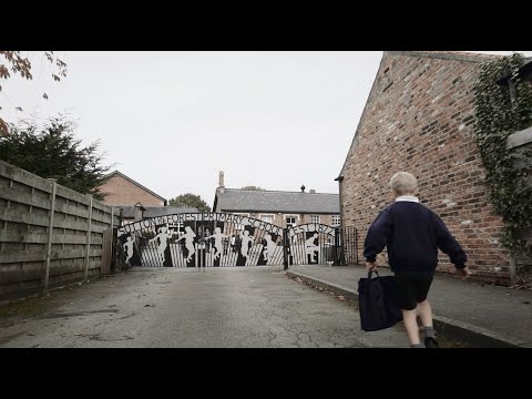
Sutton-on-the-Forest C of E Primary School Promo Video
This is a promotional video for Sutton-on-the-Forest Primary School in SotF, North Yorkshire.
Nearby Amenities
Located within 500m of 54.091646,-1.1265211Have you been to Middle Field?
Leave your review of Middle Field below (or comments, questions and feedback).