Jubilee Plantation
Wood, Forest in Roxburghshire
Scotland
Jubilee Plantation
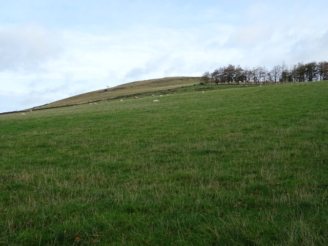
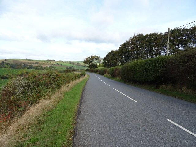
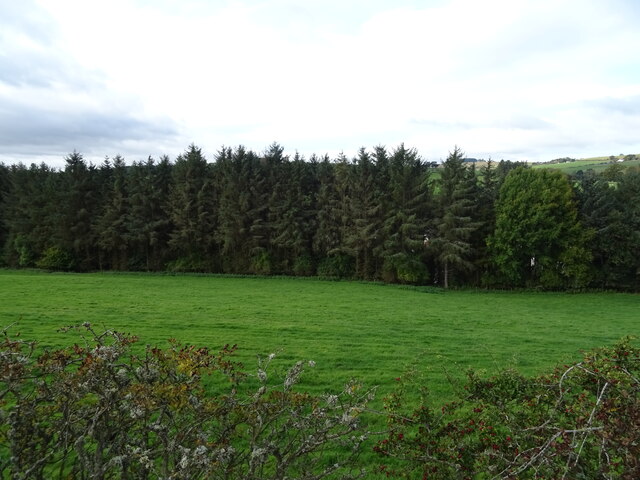
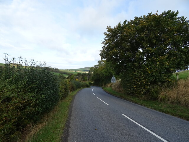
Jubilee Plantation is a picturesque woodland located in the county of Roxburghshire, Scotland. Spanning over a vast area, this forested area is known for its natural beauty and diverse range of flora and fauna.
The plantation was established in 1887 to commemorate Queen Victoria's Golden Jubilee, hence its name. It was initially planted with a variety of tree species including Scots pine, Douglas fir, and larch. Over the years, the plantation has flourished and now boasts a dense canopy of trees that provide a haven for wildlife and a peaceful retreat for visitors.
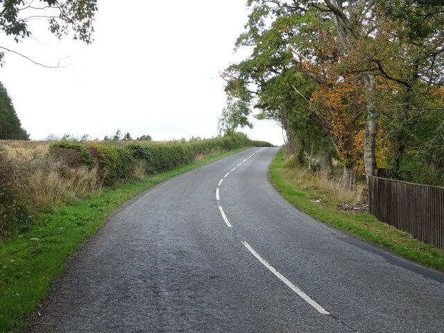
Walking through Jubilee Plantation, one can experience the tranquility of nature as they meander along well-maintained paths. The forest floor is carpeted with a rich assortment of wildflowers, creating a vibrant tapestry of colors throughout the seasons.
The woodland is home to a wide range of wildlife, with various bird species including woodpeckers, owls, and warblers calling it their habitat. Red squirrels can also be spotted darting through the trees, adding an element of charm to the surroundings.
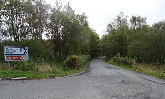
Jubilee Plantation is a popular destination for nature enthusiasts, hikers, and photographers, offering stunning vistas and opportunities for capturing the beauty of the natural world. The plantation is open to the public, allowing visitors to explore its well-marked trails and immerse themselves in the splendor of this ancient woodland.
If you have any feedback on the listing, please let us know in the comments section below.
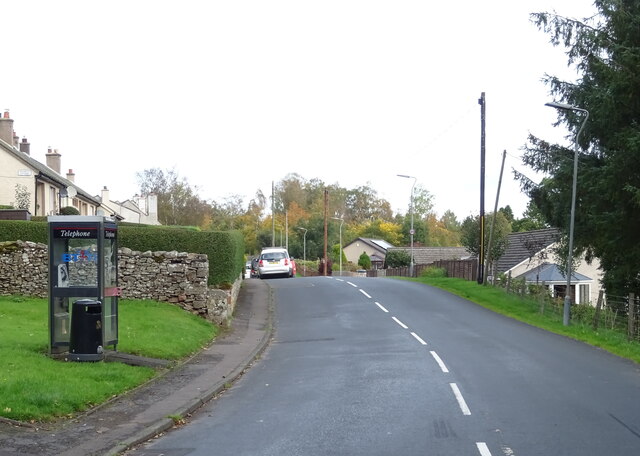
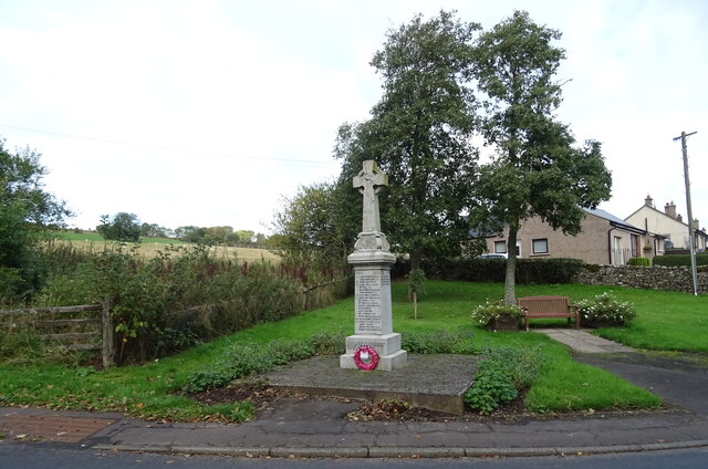
Jubilee Plantation Images
Images are sourced within 2km of 55.399452/-2.6493822 or Grid Reference NT5811. Thanks to Geograph Open Source API. All images are credited.
Jubilee Plantation is located at Grid Ref: NT5811 (Lat: 55.399452, Lng: -2.6493822)
Unitary Authority: The Scottish Borders
Police Authority: The Lothians and Scottish Borders
What 3 Words
///prank.fever.sideburns. Near Hawick, Scottish Borders
Nearby Locations
Related Wikis

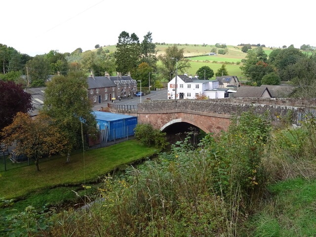
Bonchester Bridge
Bonchester Bridge (Scots Binster Brig) is a village in Roxburghshire, within the Scottish Borders area of Scotland, lying on the Rule Water, six miles...

Hobkirk
Hobkirk (Scottish Gaelic: Eaglais Ruail) is a village and civil parish in the Scottish Borders area of Scotland, by the Rule Water, south-west of Jedburgh...

Hallrule
Hallrule is a hamlet on the B6357 road, in the Scottish Borders area of Scotland, on the Rule Water, near Abbotrule, Bedrule Bonchester Bridge, Denholm...

Abbotrule
Abbotrule is a hamlet south of the B6357 road, in the Scottish Borders area of Scotland, on Rule Burn, east of the Rule Water. Places nearby include Bedrule...

Wauchope, Scottish Borders
Wauchope is a hamlet in the Scottish Borders council area of Scotland, near Southdean. Wauchope House was demolished in 1932. == See also == Wauchope Forest...

Rubers Law
Rubers Law is a prominent, conical hill in the Scottish Borders area of south-east Scotland. It stands on the south bank of the River Teviot, between the...
Fulton Tower
Fulton Tower is a ruined 16th century tower house, about 4.5 miles (7.2 km) south west of Jedburgh, Scottish Borders, Scotland, and about 2 miles (3.2...

Southdean
Southdean is a hamlet in the Scottish Borders area of Scotland, on the A6088, by the Jed Water and in the Wauchope Forest area. Other settlements nearby...
Nearby Amenities
Located within 500m of 55.399452,-2.6493822Have you been to Jubilee Plantation?
Leave your review of Jubilee Plantation below (or comments, questions and feedback).