Walter's Plantation

Wood, Forest in Roxburghshire

Scotland

Walter's Plantation

Forestry road, Wigg Plantation
Forestry road, Wigg Plantation Credit: Steven Brown

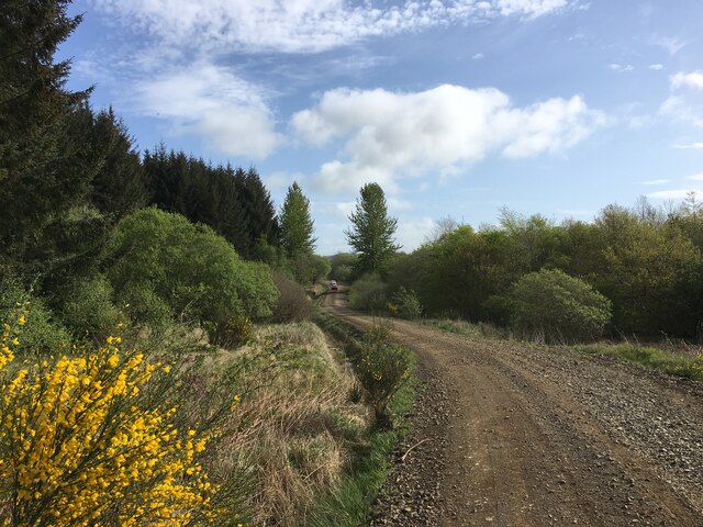
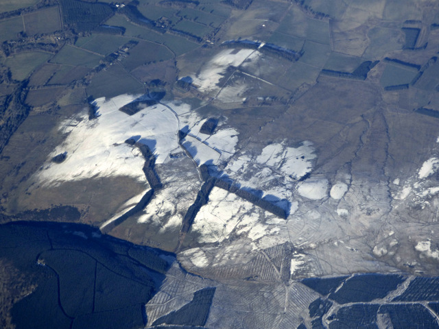
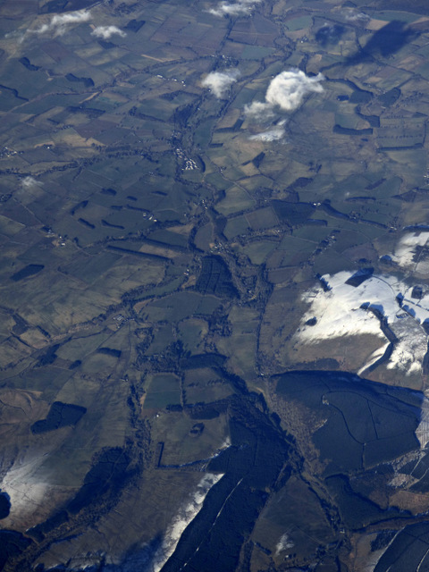
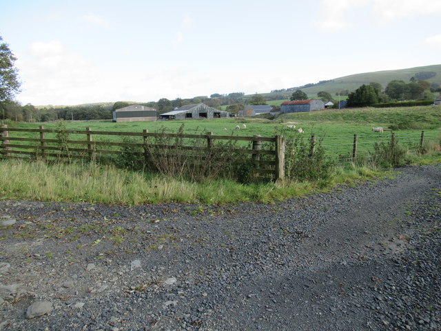
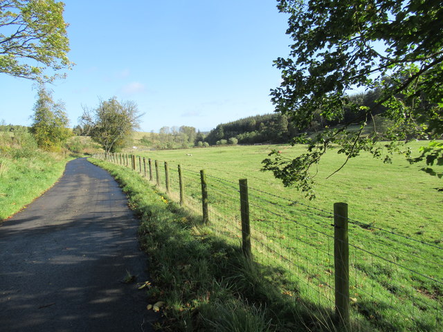
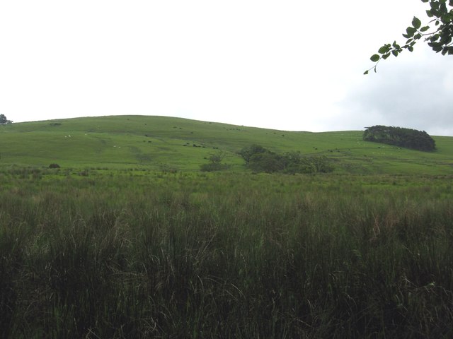
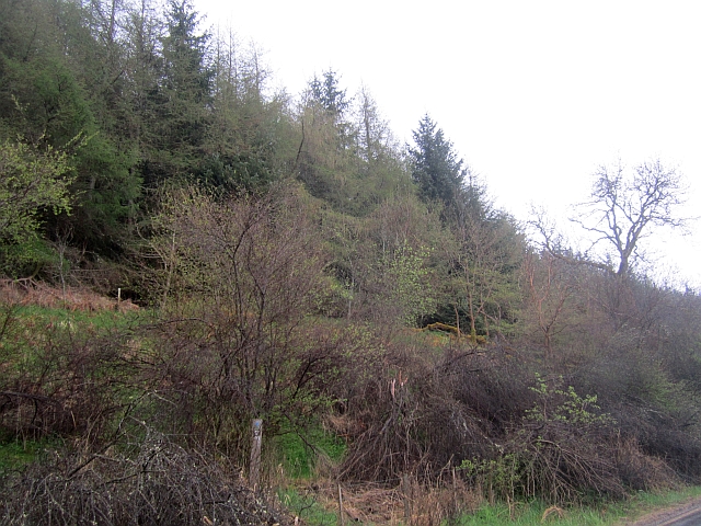
Walter's Plantation, located in Roxburghshire, Scotland, is a sprawling woodland area known for its natural beauty and diverse flora and fauna. The plantation covers a vast expanse of land, encompassing both wood and forest areas.

The plantation is named after Walter, a local landowner who established the area as a haven for wildlife and a place of tranquility. It has since become a popular destination for nature enthusiasts, hikers, and bird watchers. The woodlands are characterized by a mix of native trees such as oak, birch, and pine, creating a vibrant and ever-changing landscape throughout the seasons.

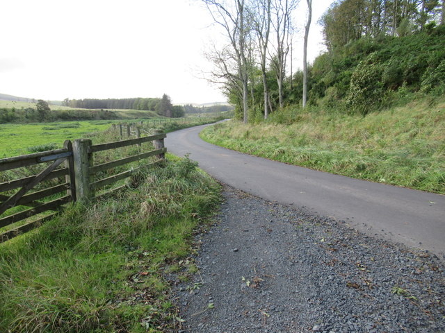
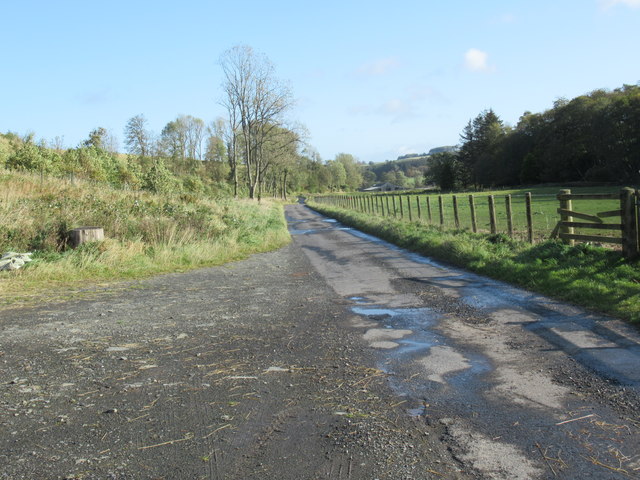
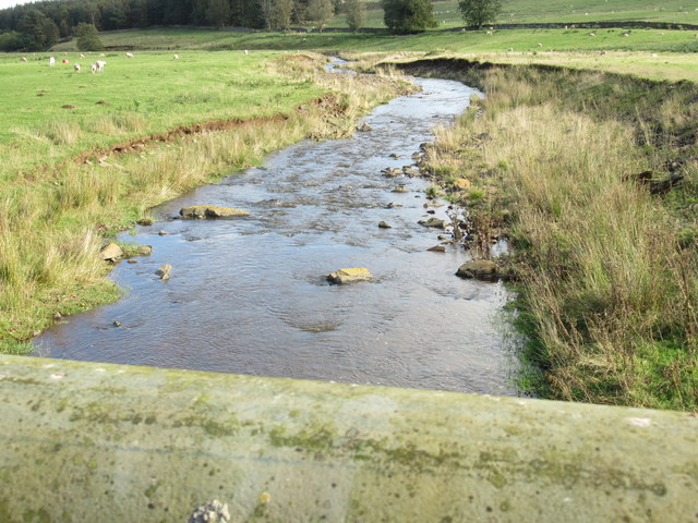
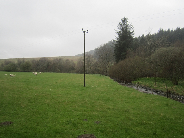
The woodland trails offer visitors a chance to explore the plantation's rich biodiversity. The forest, with its dense canopy and undergrowth, serves as a habitat for numerous animal species including red squirrels, deer, and a variety of bird species. Birdwatchers can spot the likes of woodpeckers, owls, and thrushes among the treetops. The plantation also boasts a small lake, providing a home for waterfowl and attracting migratory birds during certain times of the year.

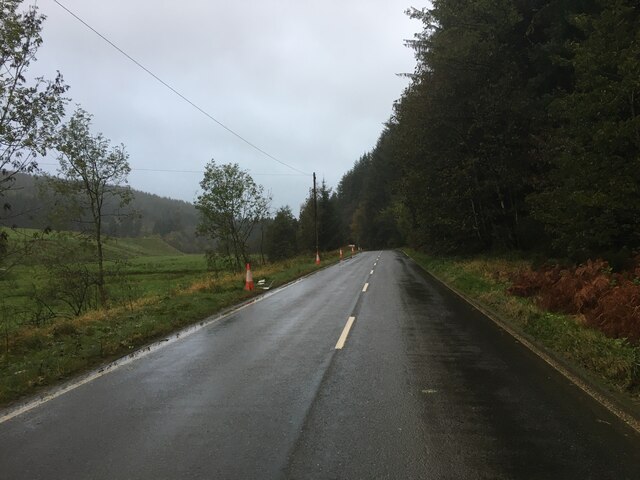
Walter's Plantation is carefully managed to preserve its natural beauty and ecological balance. The woodland management practices aim to enhance biodiversity, protect rare species, and maintain the overall health of the ecosystem.

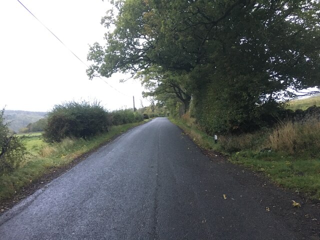
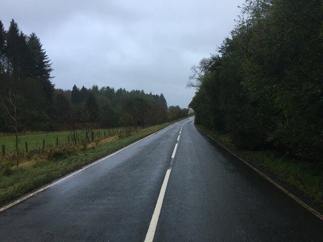
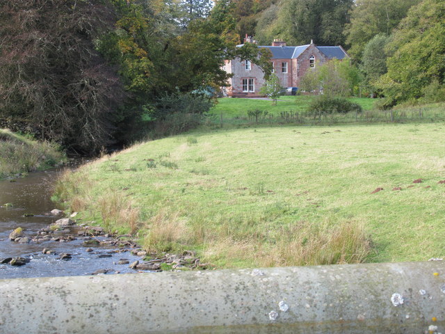
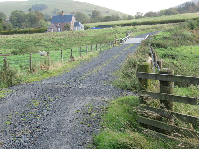
Visitors to Walter's Plantation can enjoy the tranquility of nature, go for leisurely walks, or engage in more adventurous activities like mountain biking or horseback riding. The plantation offers a peaceful retreat for nature lovers and a chance to reconnect with the natural world.

If you have any feedback on the listing, please let us know in the comments section below.

Walter's Plantation Images

Images are sourced within 2km of 55.360817/-2.6587345 or Grid Reference NT5807. Thanks to Geograph Open Source API. All images are credited.

Forestry road, Wigg Plantation
B6357 towards Bonchester Bridge
B6357 near Hyndlee
B6357 near Hyndlee
Wolfelee Hill from the air The distinctive strip woods make this hill easy to identify from the air.
Wolfelee Hill from the air
The distinctive strip woods make this hill easy to identify from the air.
Wolfelee from the air Bonchester Bridge can be seen in the distance, Wolfelee Hill is in the right foreground.
Wolfelee from the air
Bonchester Bridge can be seen in the distance, Wolfelee Hill is in the right foreground.
Harwood big hoose near Hobkirk The term 'big hoose' is fundamentally quantative but strenuously cultural: ye could bigg a bigger hoose but it wad nae be as 'big' as the big hoose!
Harwood big hoose near Hobkirk
The term 'big hoose' is fundamentally quantative but strenuously cultural: ye could bigg a bigger hoose but it wad nae be as 'big' as the big hoose!
Bridge across Harwood burn to cottage near Hobkirk in the Scottish Borders As yet unmapped and unsatted!!
Bridge across Harwood burn to cottage near Hobkirk in the Scottish Borders
As yet unmapped and unsatted!!
Track junction with public road near Hobkirk in the Scottish Borders
Road near Harwood in the Scottish Borders
Looking downstream on Harwood Burn in the Scottish Borders
Attractive haughland near Hobkirk in the Scottish Borders
Grazing lands on Wolflee Hill In Roxburghshire.
Grazing lands on Wolflee Hill
In Roxburghshire.
Hyndlee Burn A field beside the Hyndlee Burn. Cheap point hunters will have to stop and get out here, the road stays stubbonly east of the grid line.  
The area is mostly forested.
Hyndlee Burn
A field beside the Hyndlee Burn. Cheap point hunters will have to stop and get out here, the road stays stubbonly east of the grid line. The area is mostly forested.
Cragbank Woods National Nature Reserve Tail end of a steep slope clad in ancient deciduous woodland. There is an encroachment by the usual "weeds" above, but the wood is somewhat thicker further north.
Cragbank Woods National Nature Reserve
Tail end of a steep slope clad in ancient deciduous woodland. There is an encroachment by the usual "weeds" above, but the wood is somewhat thicker further north.
Clear fell, Hyndlee
Clear fell, Hyndlee
Clear felled slope, Hyndlee Wauchope Forest seen from the Bonchester Bridge to Newcastleton road.
Clear felled slope, Hyndlee
Wauchope Forest seen from the Bonchester Bridge to Newcastleton road.
Show me another place!

Walter's Plantation is located at Grid Ref: NT5807 (Lat: 55.360817, Lng: -2.6587345)

Unitary Authority: The Scottish Borders

Police Authority: The Lothians and Scottish Borders

What 3 Words

///lists.composers.inspects. Near Hawick, Scottish Borders

Nearby Locations

Walter's Plantation

Related Wikis

Wauchope, Scottish Borders

Wauchope is a hamlet in the Scottish Borders council area of Scotland, near Southdean. Wauchope House was demolished in 1932. == See also == Wauchope Forest...

Hobkirk

Hobkirk (Scottish Gaelic: Eaglais Ruail) is a village and civil parish in the Scottish Borders area of Scotland, by the Rule Water, south-west of Jedburgh...

Bonchester Bridge

Bonchester Bridge (Scots Binster Brig) is a village in Roxburghshire, within the Scottish Borders area of Scotland, lying on the Rule Water, six miles...

Wauchope Forest

Wauchope Forest is a forest on the Rule Water, in the Scottish Borders area of Scotland, south of Hawick, and including the A6088, the A68 and the B6357...

Nearby Amenities

Located within 500m of 55.360817,-2.6587345
Power: pole
Lat/Long: 55.3622679/-2.6512403
Power: pole
Lat/Long: 55.3616314/-2.6509959
The data included in this document is from www.openstreetmap.org. The data is made available under ODbL.

Have you been to Walter's Plantation?

Leave your review of Walter's Plantation below (or comments, questions and feedback).