Clocker Plantation

Wood, Forest in Roxburghshire

Scotland

Clocker Plantation

B6357 towards Bonchester Bridge
B6357 towards Bonchester Bridge Credit: Steven Brown

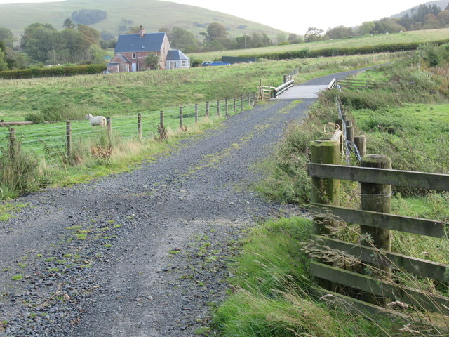
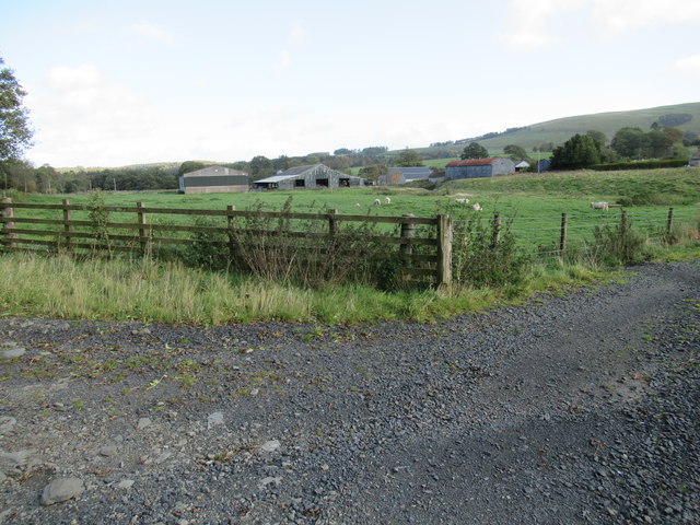
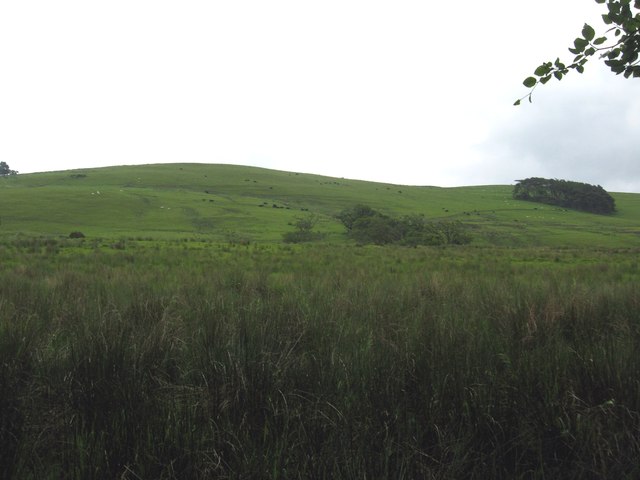
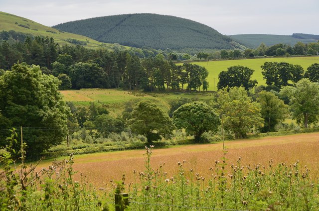
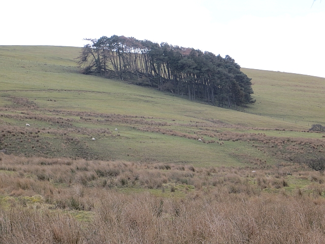
Clocker Plantation is a sprawling woodland located in Roxburghshire, Scotland. Covering an area of approximately 100 acres, the plantation is a haven of natural beauty and tranquility. It is situated near the village of Wood, surrounded by picturesque countryside and rolling hills.

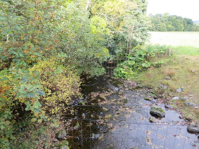
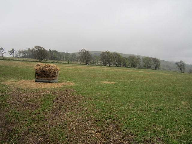
The woodland is predominantly composed of a diverse mix of deciduous and coniferous trees, creating a rich tapestry of colors throughout the year. Towering oak, beech, and birch trees dominate the landscape, interspersed with majestic pine and spruce trees. The dense foliage provides a habitat for a variety of wildlife, including red squirrels, roe deer, and a wide range of bird species.

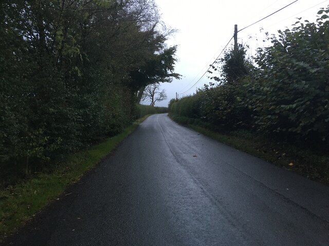
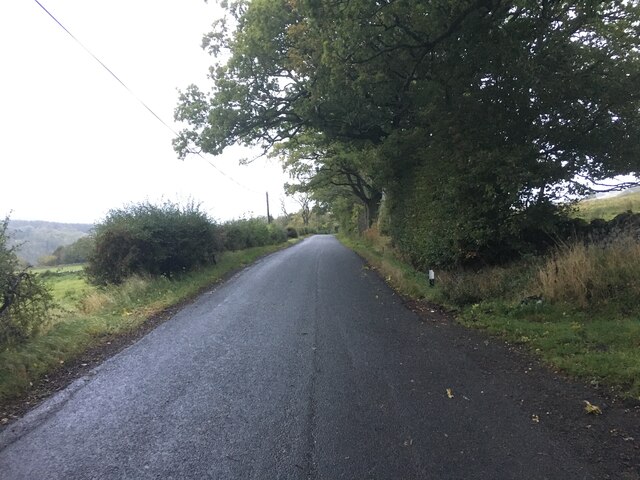
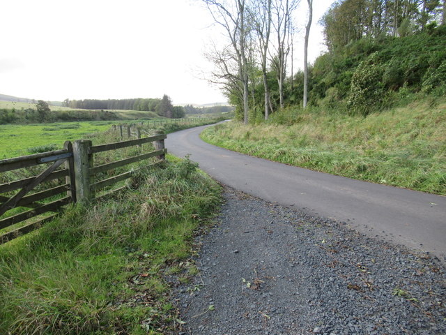
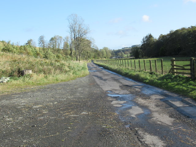
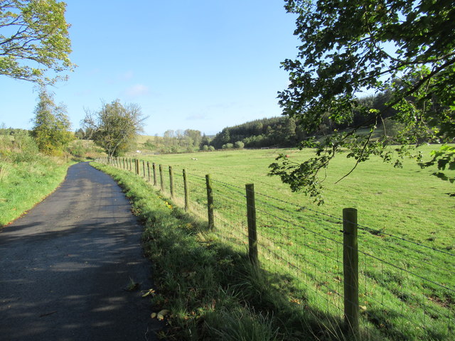
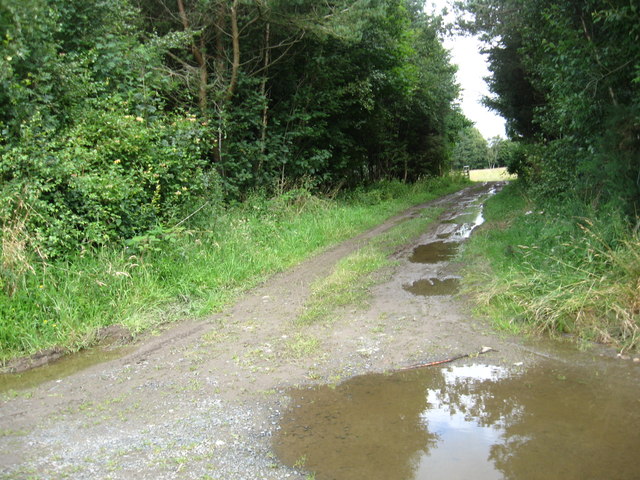
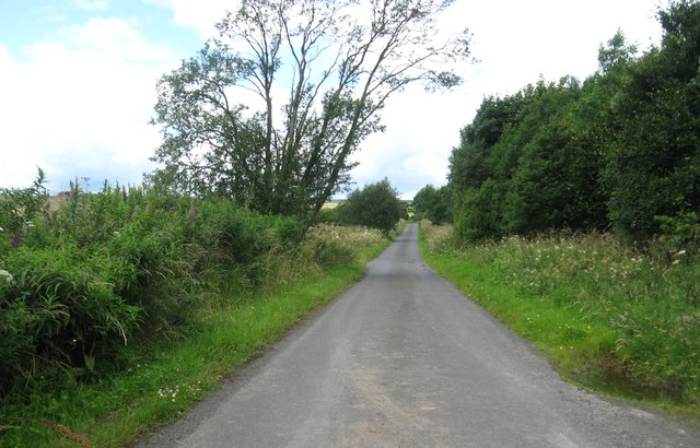
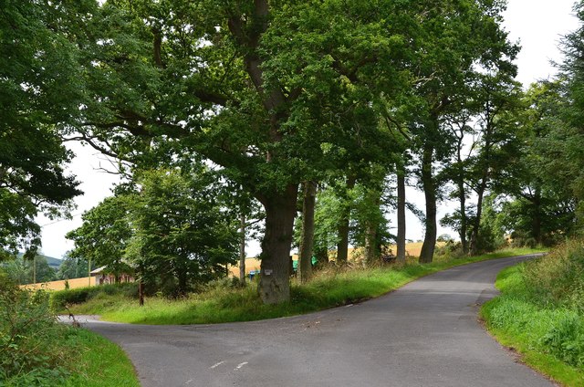
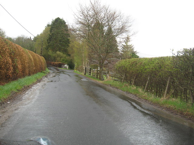
The plantation is a popular destination for nature enthusiasts and outdoor adventurers alike. It offers numerous walking trails, allowing visitors to explore the enchanting woodland at their own pace. The well-maintained paths wind through the towering trees, offering breathtaking views of the surrounding countryside and glimpses of the nearby River Tweed.

Clocker Plantation also provides a peaceful retreat for those seeking solitude and relaxation. Its secluded location, away from the hustle and bustle of urban life, offers a serene environment perfect for meditation, photography, or simply enjoying a picnic amidst nature.

In summary, Clocker Plantation is a captivating woodland retreat in Roxburghshire. Its diverse range of trees, abundant wildlife, and scenic walking trails make it an ideal destination for nature lovers and those seeking solace in the beauty of the natural world.

If you have any feedback on the listing, please let us know in the comments section below.

Clocker Plantation Images

Images are sourced within 2km of 55.382132/-2.6651969 or Grid Reference NT5709. Thanks to Geograph Open Source API. All images are credited.

B6357 towards Bonchester Bridge
Ordnance Survey Flush Bracket 11419 This can be found on the parapet wall of a bridge over Catlee Burn at Forkins.
For more detail see : <span class="nowrap"><a title="http://www.bench-marks.org.uk/bm16610" rel="nofollow ugc noopener" href="http://www.bench-marks.org.uk/bm16610">Link</a><img style="margin-left:2px;" alt="External link" title="External link - shift click to open in new window" src="https://s1.geograph.org.uk/img/external.png" width="10" height="10"/></span>
Ordnance Survey Flush Bracket 11419
This can be found on the parapet wall of a bridge over Catlee Burn at Forkins. For more detail see : LinkExternal link
Catlee Burn viewed from the bridge at Forkins Looking north-westward.
Catlee Burn viewed from the bridge at Forkins
Looking north-westward.
Bridge across Harwood burn to cottage near Hobkirk in the Scottish Borders As yet unmapped and unsatted!!
Bridge across Harwood burn to cottage near Hobkirk in the Scottish Borders
As yet unmapped and unsatted!!
Track junction with public road near Hobkirk in the Scottish Borders
Road near Harwood in the Scottish Borders
Attractive haughland near Hobkirk in the Scottish Borders
Grazing lands on Wolflee Hill In Roxburghshire.
Grazing lands on Wolflee Hill
In Roxburghshire.
Track through the plantation At Unthank Wood in Roxburghshire.
Track through the plantation
At Unthank Wood in Roxburghshire.
Country lane heading for Highend Farm In Roxburghshire.
Country lane heading for Highend Farm
In Roxburghshire.
Forestry beyond the fields, Harwoodmill A view across the catchment of the Rule Water to the forested Wolfhopelee Hill, at the N end of the extensive Wauchope Forest.
Forestry beyond the fields, Harwoodmill
A view across the catchment of the Rule Water to the forested Wolfhopelee Hill, at the N end of the extensive Wauchope Forest.
Road junction near Forkins A sign on the tree indicates 'Harwood' to the left.
Road junction near Forkins
A sign on the tree indicates 'Harwood' to the left.
The B6357heading south towards Wolfelee in Roxburghshire
Field above Cleuch Head Grass field with left overs from Winter.
Field above Cleuch Head
Grass field with left overs from Winter.
Field under Wolfelee Hill Rashy ground beside the B6357.
Field under Wolfelee Hill
Rashy ground beside the B6357.
Wolfelee Hill A circular wood on Wolfelee Hill. This is what the now forested Wauchope would have been like judging by evidence of old maps.
Wolfelee Hill
A circular wood on Wolfelee Hill. This is what the now forested Wauchope would have been like judging by evidence of old maps.
Show me another place!

Clocker Plantation is located at Grid Ref: NT5709 (Lat: 55.382132, Lng: -2.6651969)

Unitary Authority: The Scottish Borders

Police Authority: The Lothians and Scottish Borders

What 3 Words

///chucked.yappy.positive. Near Hawick, Scottish Borders

Related Wikis

Hobkirk

Hobkirk (Scottish Gaelic: Eaglais Ruail) is a village and civil parish in the Scottish Borders area of Scotland, by the Rule Water, south-west of Jedburgh...

Wauchope, Scottish Borders

Wauchope is a hamlet in the Scottish Borders council area of Scotland, near Southdean. Wauchope House was demolished in 1932. == See also == Wauchope Forest...

Bonchester Bridge

Bonchester Bridge (Scots Binster Brig) is a village in Roxburghshire, within the Scottish Borders area of Scotland, lying on the Rule Water, six miles...

Abbotrule

Abbotrule is a hamlet south of the B6357 road, in the Scottish Borders area of Scotland, on Rule Burn, east of the Rule Water. Places nearby include Bedrule...

Hallrule

Hallrule is a hamlet on the B6357 road, in the Scottish Borders area of Scotland, on the Rule Water, near Abbotrule, Bedrule Bonchester Bridge, Denholm...

Southdean

Southdean is a hamlet in the Scottish Borders area of Scotland, on the A6088, by the Jed Water and in the Wauchope Forest area. Other settlements nearby...

Kirkton, Scottish Borders

Kirkton is a village in the Scottish Borders area of Scotland, off the A6088, near Hawick. Grid Ref. NT5413. It is a former parish, amalgamated into the...

Rubers Law

Rubers Law is a prominent, conical hill in the Scottish Borders area of south-east Scotland. It stands on the south bank of the River Teviot, between the...

Nearby Amenities

Located within 500m of 55.382132,-2.6651969
Power: pole
Lat/Long: 55.3807597/-2.6576602
Power: pole
Lat/Long: 55.3802782/-2.6588412
Power: pole
Lat/Long: 55.3797071/-2.6607271
Power: pole
Lat/Long: 55.3794374/-2.6615822
Power: pole
Lat/Long: 55.3796348/-2.6588513
Power: pole
Lat/Long: 55.3805197/-2.6607983
Power: pole
Lat/Long: 55.3801474/-2.6610757
Power: pole
Lat/Long: 55.379783/-2.6613264
Power: pole
Lat/Long: 55.379073/-2.6618355
Power: pole
Lat/Long: 55.3786768/-2.6621523
Power: pole
Lat/Long: 55.3782842/-2.662459
Power: pole
Lat/Long: 55.3778764/-2.6627848
Power: pole
Lat/Long: 55.3840779/-2.6722601
Power: pole
Lat/Long: 55.3839551/-2.6713006
Power: pole
Lat/Long: 55.3844235/-2.669883
The data included in this document is from www.openstreetmap.org. The data is made available under ODbL.

Have you been to Clocker Plantation?

Leave your review of Clocker Plantation below (or comments, questions and feedback).