Angus Wood

Wood, Forest in East Lothian

Scotland

Angus Wood

not-a-white kirk, Whitekirk Thought it best to add in a photo of the current kirk in Whitekirk
not-a-white kirk, Whitekirk Credit: Kirsty Smith

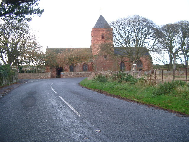
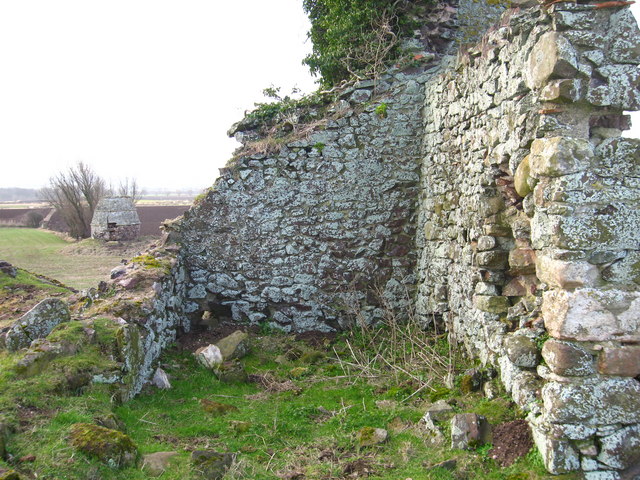
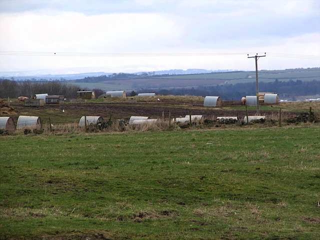
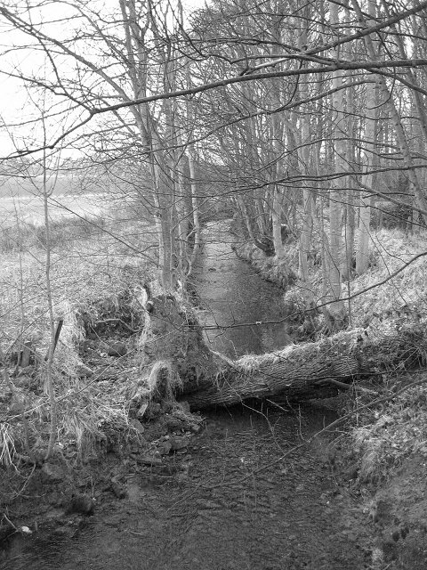
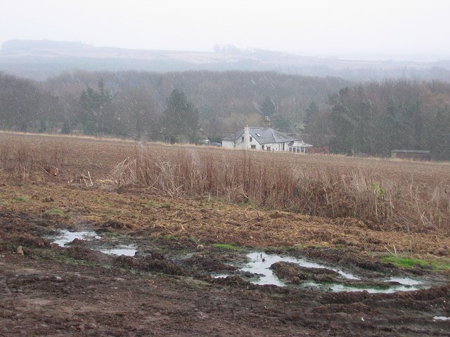
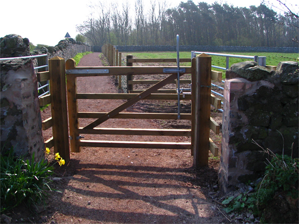
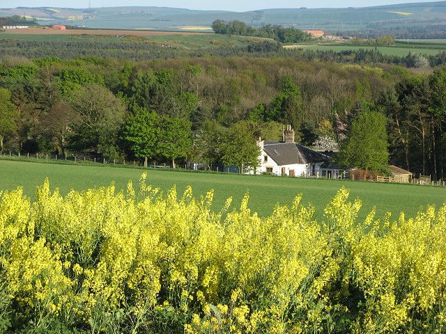
Angus Wood is a small forest located in East Lothian, Scotland. Situated just outside the village of Angus, the wood covers an area of approximately 50 acres and is known for its rich biodiversity and stunning natural beauty.

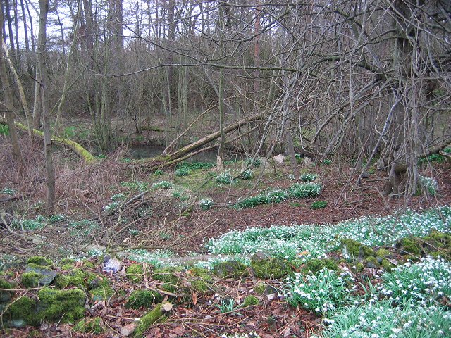
The forest comprises a mix of deciduous and coniferous trees, including oak, beech, and pine, which provide a diverse habitat for various plant and animal species. Walking through Angus Wood, visitors can enjoy a peaceful and tranquil environment, surrounded by the sights and sounds of nature.

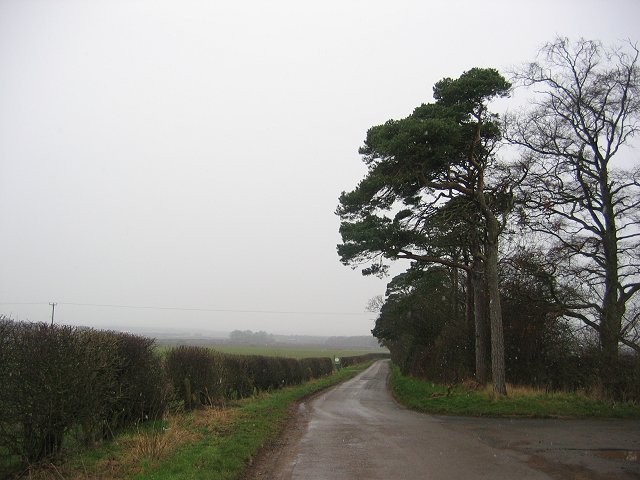
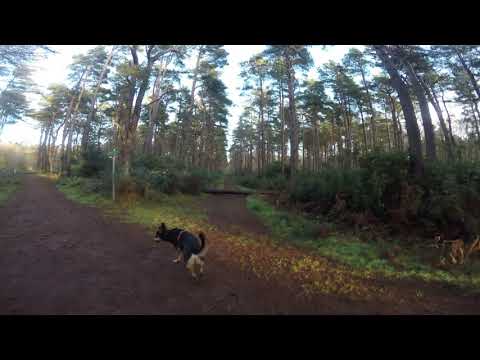
The wood is intersected by several well-maintained trails, making it a popular destination for outdoor enthusiasts and nature lovers. These trails offer opportunities for hiking, jogging, and birdwatching, allowing visitors to explore the forest at their own pace.

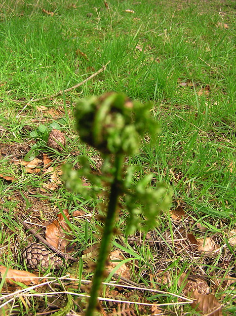
One of the highlights of Angus Wood is its abundance of wildlife. The forest is home to a wide range of species, including red squirrels, roe deer, and various bird species such as woodpeckers and tawny owls. It is also known for its diverse flora, with numerous wildflowers and ferns adding bursts of color to the forest floor.

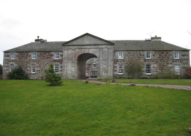
In addition to its natural attractions, Angus Wood also has a picnic area and a small visitor center where visitors can learn more about the forest's history and conservation efforts.

Overall, Angus Wood is a hidden gem in East Lothian, offering a peaceful retreat for those seeking to connect with nature and enjoy the beauty of a Scottish woodland.

If you have any feedback on the listing, please let us know in the comments section below.

Angus Wood Images

Images are sourced within 2km of 56.015289/-2.6759134 or Grid Reference NT5780. Thanks to Geograph Open Source API. All images are credited.

not-a-white kirk, Whitekirk Thought it best to add in a photo of the current kirk in Whitekirk
not-a-white kirk, Whitekirk
Thought it best to add in a photo of the current kirk in Whitekirk
Early morning at Waughton doocot A beehive 'doocot' from the 1500's nearby to the remains of Waughton Castle.
Early morning at Waughton doocot
A beehive 'doocot' from the 1500's nearby to the remains of Waughton Castle.
Waughton Castle and Doocot Very little remains of Waughton Castle, two miles west of Whitekirk. Waughton Castle is first reported in the mid 1300s when it was in the possession of the Hepburns of Waughton. The doocot in the background is of later 1500s origin. By the 1700s the castle was sadly being used as a quarry to build local cottages and walls.

There is more information and a reconstruction drawing at <span class="nowrap"><a title="http://www.douglashistory.co.uk/history/Places/waughton.htm" rel="nofollow ugc noopener" href="http://www.douglashistory.co.uk/history/Places/waughton.htm">Link</a><img style="margin-left:2px;" alt="External link" title="External link - shift click to open in new window" src="https://s1.geograph.org.uk/img/external.png" width="10" height="10"/></span>
Waughton Castle and Doocot
Very little remains of Waughton Castle, two miles west of Whitekirk. Waughton Castle is first reported in the mid 1300s when it was in the possession of the Hepburns of Waughton. The doocot in the background is of later 1500s origin. By the 1700s the castle was sadly being used as a quarry to build local cottages and walls. There is more information and a reconstruction drawing at LinkExternal link
beyond the fern Inside Binning wood, looking behind the ferns emerging a typical woodland floor scene for the area
beyond the fern
Inside Binning wood, looking behind the ferns emerging a typical woodland floor scene for the area
Newbyth A former mansion at Newbyth, now divided into apartments. Roe deer wander in the fields beside the house.
Newbyth
A former mansion at Newbyth, now divided into apartments. Roe deer wander in the fields beside the house.
Old Stonelaws How old it is I don't know - but law means hill locally, & behind me were the rocky hills - products of glaciation.

The hills behind are the Lammermuirs with the recent snows going fast.
Old Stonelaws
How old it is I don't know - but law means hill locally, & behind me were the rocky hills - products of glaciation. The hills behind are the Lammermuirs with the recent snows going fast.
Pig farm Close to Merrylaws - happy hills?

A pig farm with the distant Pentland hills behind complete with snow.

The soils here are glacial deposits & very rich for agriculture.
Pig farm
Close to Merrylaws - happy hills? A pig farm with the distant Pentland hills behind complete with snow. The soils here are glacial deposits & very rich for agriculture.
Newbyth Stables Originally stables for Newbyth Mansion House <a href="https://www.geograph.org.uk/gridref/NT5880">NT5880</a>, now residential.
Newbyth Stables
Originally stables for Newbyth Mansion House NT5880, now residential.
Road near Sheriff Hall. Looking south towards the Lammermuir Hills. One field ploughed and cultivated the other still under stubble.
Road near Sheriff Hall.
Looking south towards the Lammermuir Hills. One field ploughed and cultivated the other still under stubble.
Cabbage Waughton Farm, showing another piece of the East Lothian veg industry.
Cabbage
Waughton Farm, showing another piece of the East Lothian veg industry.
Pines, Stonelaws. Looking west past ajunction near Stonelaws Farm.  The land around here is not always so fertile, and there is a fair acreage of woodland.
Pines, Stonelaws.
Looking west past ajunction near Stonelaws Farm. The land around here is not always so fertile, and there is a fair acreage of woodland.
Inch Wood. Snowdrops in the western reaches of Binning Wood.
Inch Wood.
Snowdrops in the western reaches of Binning Wood.
Peffer Burn Burn running through marshy ground, the northern boundary of Binning Wood.
Peffer Burn
Burn running through marshy ground, the northern boundary of Binning Wood.
Newbyth Mains. View south through the Newbyth Estate and over Binning Wood.
Newbyth Mains.
View south through the Newbyth Estate and over Binning Wood.
St Mary's Church, Whitekirk A Parish Church has been at Whitekirk since the 12th century, initially belonging to Holyrood Abbey. After miracles of healing were being performed at a nearby well the church was placed under the protection of James I. It survived almost without alteration until 1914, when it was set on fire by suffragettes. Careful restoration was carried out by Robert Lorimer. The tower has two small light openings, a stair-turret at the NW corner and a low slated spire. It has been used as a doocot with 39 nests cut out of the stone walls of the tower and 97 in recesses.
St Mary's Church, Whitekirk
A Parish Church has been at Whitekirk since the 12th century, initially belonging to Holyrood Abbey. After miracles of healing were being performed at a nearby well the church was placed under the protection of James I. It survived almost without alteration until 1914, when it was set on fire by suffragettes. Careful restoration was carried out by Robert Lorimer. The tower has two small light openings, a stair-turret at the NW corner and a low slated spire. It has been used as a doocot with 39 nests cut out of the stone walls of the tower and 97 in recesses.
East Lothian Road Sign, Whitekirk View southeast towards Tyninghame.
East Lothian Road Sign, Whitekirk
View southeast towards Tyninghame.
New Gate - New Path New gate on a partially completed path that will link East Linton to North Berwick. This bit is a delight on a bike!
New Gate - New Path
New gate on a partially completed path that will link East Linton to North Berwick. This bit is a delight on a bike!
Newbyth Mains Another year and another season.
Newbyth Mains
Another year and another season.
Show me another place!

Angus Wood is located at Grid Ref: NT5780 (Lat: 56.015289, Lng: -2.6759134)

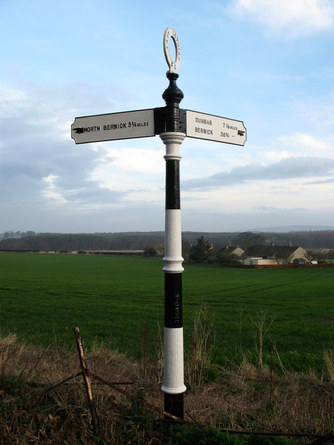
Unitary Authority: East Lothian

Police Authority: The Lothians and Scottish Borders

What 3 Words

///traded.homeward.unwraps. Near East Linton, East Lothian

Nearby Locations

Angus Wood

Related Wikis

Related Videos

Woodland wander and a very creepy cemetery

While we were walking through the woods, we came across an unusual cemetery. The smell of decomposing flesh was really bad, ...

Whitekirk Hill parkrun (North Berwick) - #69 Scottish parkruns

Join us at Whitekirk Hill parkrun for our 69th Scottish parkrun! Whitekirk Hill parkrun is located in North Berwick, east of Edinburgh, ...

Nearby Amenities

Located within 500m of 56.015289,-2.6759134
Stonelaws
Place: locality
Lat/Long: 56.0168599/-2.6818979
Power: pole
Lat/Long: 56.0112583/-2.6791106
Power: pole
Lat/Long: 56.0120118/-2.6796051
Power: pole
Lat/Long: 56.0126747/-2.6800449
Power: pole
Lat/Long: 56.0134392/-2.6805459
Power: pole
Lat/Long: 56.0141865/-2.681036
Power: pole
Lat/Long: 56.0146916/-2.681373
Power: pole
Lat/Long: 56.0150536/-2.6824495
Power: pole
Lat/Long: 56.0154474/-2.6836923
Power: pole
Lat/Long: 56.0181618/-2.6820295
Power: pole
Lat/Long: 56.0183765/-2.6807253
Power: pole
Lat/Long: 56.0185697/-2.6794804
Power: pole
Lat/Long: 56.0187825/-2.6781741
Power: pole
Lat/Long: 56.0190063/-2.6766885
Power: pole
Lat/Long: 56.0192362/-2.6752575
Power: pole
Lat/Long: 56.019471/-2.6738091
The data included in this document is from www.openstreetmap.org. The data is made available under ODbL.

Have you been to Angus Wood?

Leave your review of Angus Wood below (or comments, questions and feedback).