Abbotside Plantation
Wood, Forest in Roxburghshire
Scotland
Abbotside Plantation
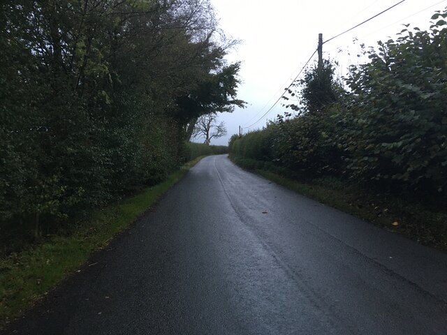
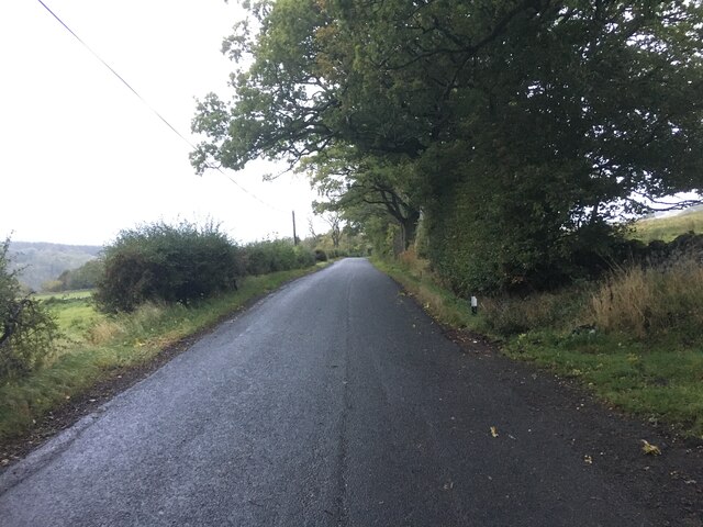
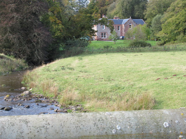
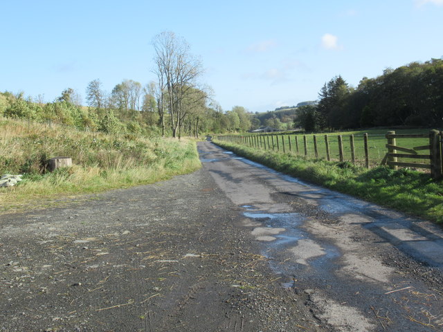
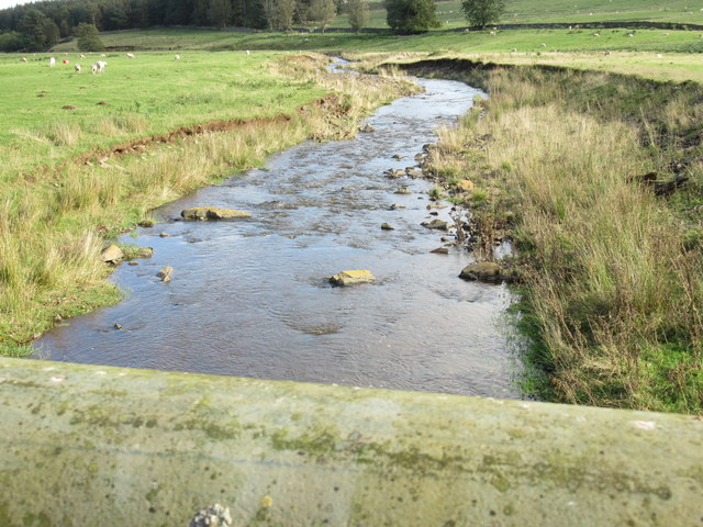
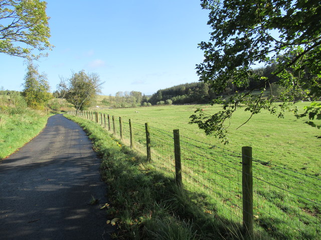
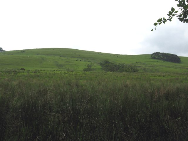
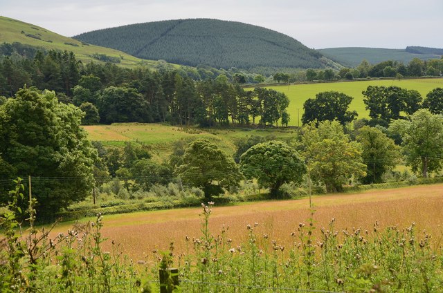
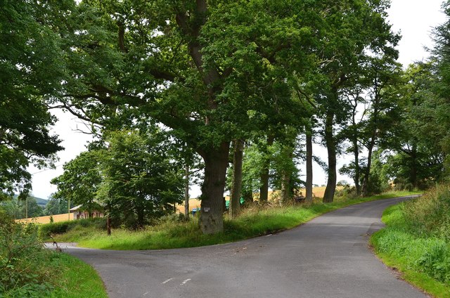
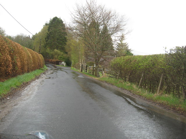
Abbotside Plantation, located in Roxburghshire, is a picturesque wood and forest area that spans over a considerable expanse of land. Situated in the southern part of Scotland, it is renowned for its natural beauty, tranquil atmosphere, and diverse range of plant and animal life.
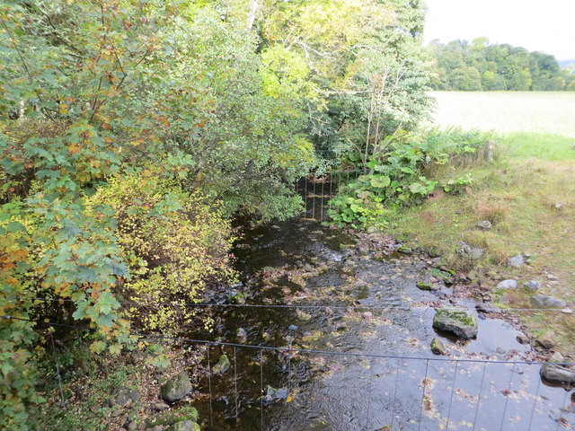
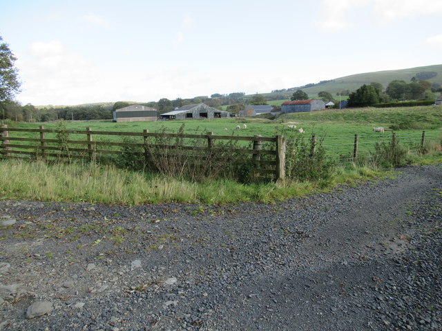
The plantation is characterized by its dense woodland, featuring a variety of indigenous tree species including oak, birch, beech, and pine. These trees create a lush and green environment, providing a habitat for numerous wildlife species such as deer, foxes, badgers, and various bird species.
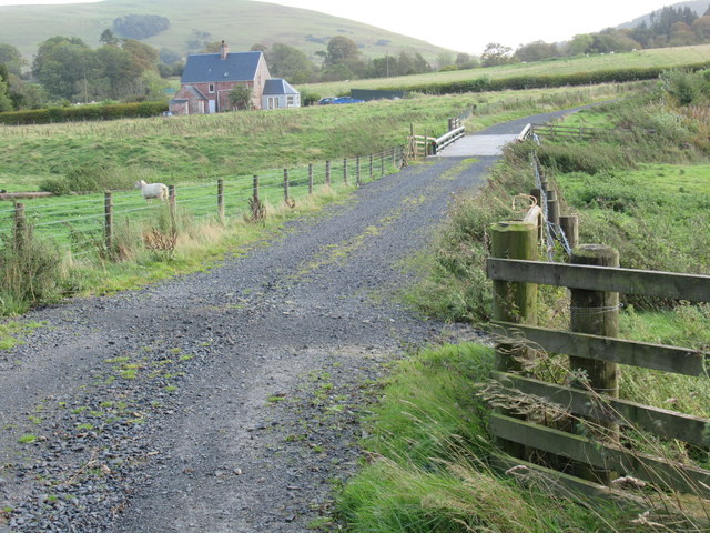
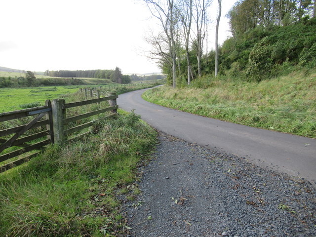
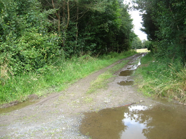
Visitors to Abbotside Plantation can enjoy a range of recreational activities, including walking, hiking, and cycling along its many trails. The plantation offers a peaceful and serene setting, making it a popular destination for nature enthusiasts, photographers, and those seeking a getaway from the bustling city life.
The plantation is managed by local authorities to preserve its natural beauty and protect its ecological balance. Efforts have been made to maintain the diversity of plant and animal species within the area, ensuring the sustainability of the ecosystem.
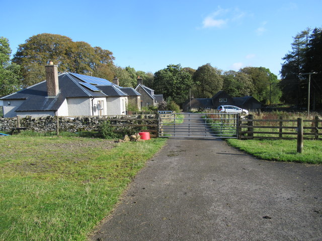
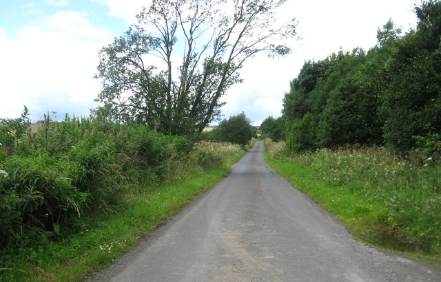
Abbotside Plantation is easily accessible by road, with ample parking facilities available for visitors. The wood is well-maintained, with clear signage and designated paths to guide visitors through the plantation's various sections.
Overall, Abbotside Plantation is a haven for nature lovers, offering a tranquil escape into the heart of Scotland's natural landscape. Its rich biodiversity and well-preserved woodlands make it a must-visit destination for those seeking to immerse themselves in the beauty of nature.
If you have any feedback on the listing, please let us know in the comments section below.
Abbotside Plantation Images
Images are sourced within 2km of 55.37903/-2.6737616 or Grid Reference NT5709. Thanks to Geograph Open Source API. All images are credited.
Abbotside Plantation is located at Grid Ref: NT5709 (Lat: 55.37903, Lng: -2.6737616)
Unitary Authority: The Scottish Borders
Police Authority: The Lothians and Scottish Borders
What 3 Words
///husbands.lightens.trickled. Near Hawick, Scottish Borders
Nearby Locations
Related Wikis

Wauchope, Scottish Borders
Wauchope is a hamlet in the Scottish Borders council area of Scotland, near Southdean. Wauchope House was demolished in 1932. == See also == Wauchope Forest...

Hobkirk
Hobkirk (Scottish Gaelic: Eaglais Ruail) is a village and civil parish in the Scottish Borders area of Scotland, by the Rule Water, south-west of Jedburgh...

Bonchester Bridge
Bonchester Bridge (Scots Binster Brig) is a village in Roxburghshire, within the Scottish Borders area of Scotland, lying on the Rule Water, six miles...

Hallrule
Hallrule is a hamlet on the B6357 road, in the Scottish Borders area of Scotland, on the Rule Water, near Abbotrule, Bedrule Bonchester Bridge, Denholm...

Abbotrule
Abbotrule is a hamlet south of the B6357 road, in the Scottish Borders area of Scotland, on Rule Burn, east of the Rule Water. Places nearby include Bedrule...

Kirkton, Scottish Borders
Kirkton is a village in the Scottish Borders area of Scotland, off the A6088, near Hawick. Grid Ref. NT5413. It is a former parish, amalgamated into the...

Southdean
Southdean is a hamlet in the Scottish Borders area of Scotland, on the A6088, by the Jed Water and in the Wauchope Forest area. Other settlements nearby...

Rubers Law
Rubers Law is a prominent, conical hill in the Scottish Borders area of south-east Scotland. It stands on the south bank of the River Teviot, between the...
Nearby Amenities
Located within 500m of 55.37903,-2.6737616Have you been to Abbotside Plantation?
Leave your review of Abbotside Plantation below (or comments, questions and feedback).