Aldbar Muir

Wood, Forest in Angus

Scotland

Aldbar Muir

Pylons in Montreathmont Forest Pylons heading north-east through a clearing in Montreathmont Forest.
Pylons in Montreathmont Forest Credit: Scott Cormie

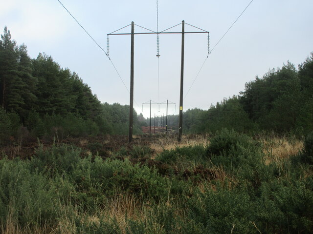
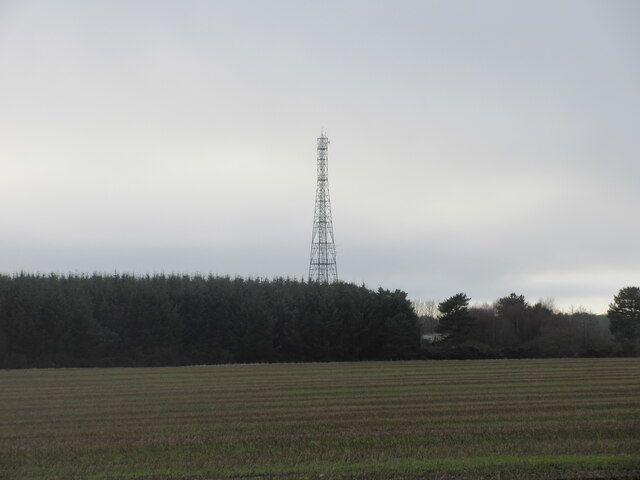
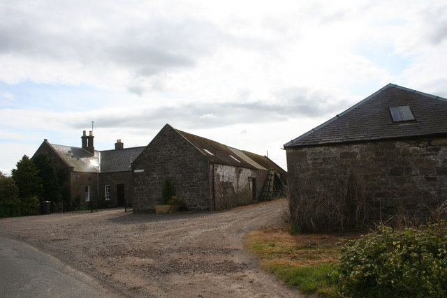
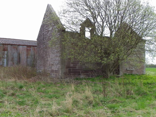
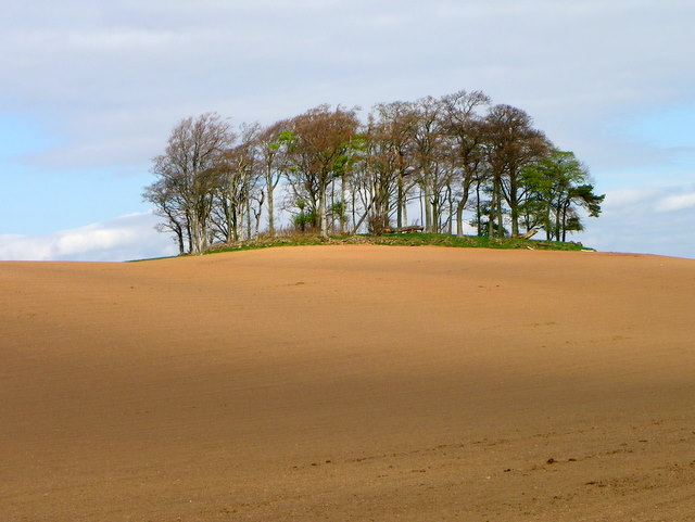
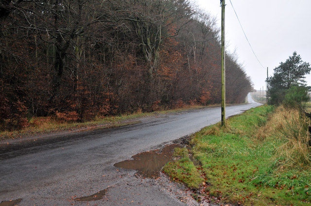
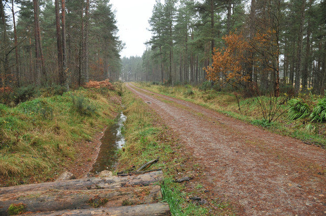
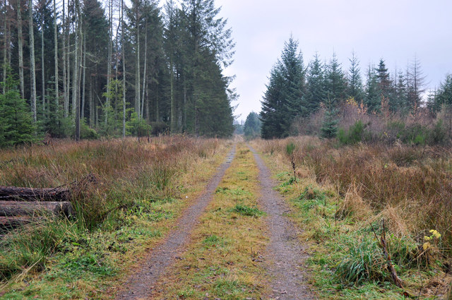
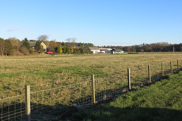
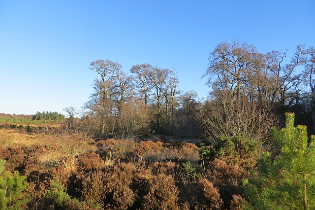
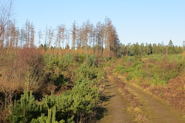
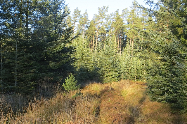
Aldbar Muir, located in Angus, Scotland, is a picturesque woodland area known for its natural beauty and rich biodiversity. Spread across an expansive area, the muir encompasses dense forests, rolling hills, and tranquil streams, offering visitors a serene and peaceful retreat.

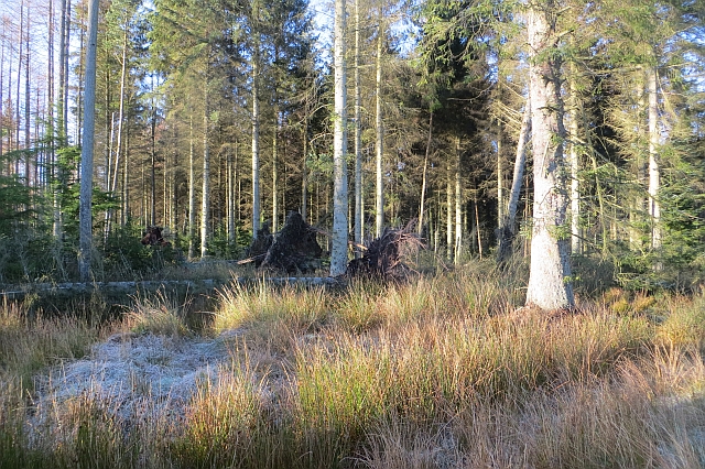
The woodlands of Aldbar Muir are primarily composed of broadleaf trees, including oak, birch, and beech, which create a vibrant and diverse ecosystem. These trees provide a habitat for a wide range of flora and fauna, making the area a haven for wildlife enthusiasts and nature lovers.

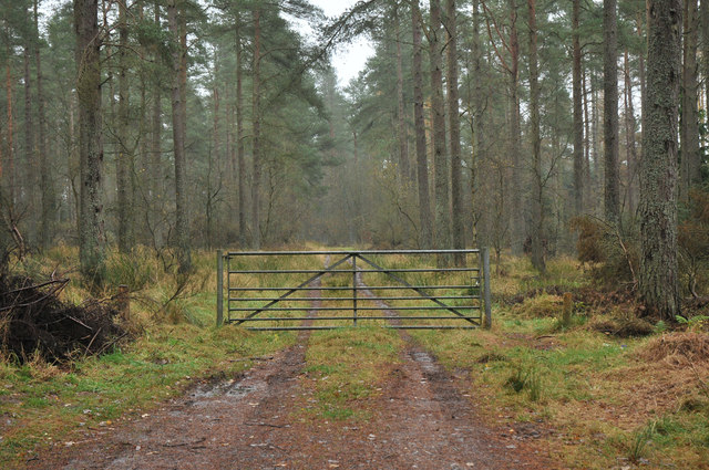
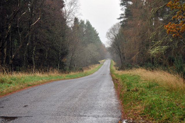
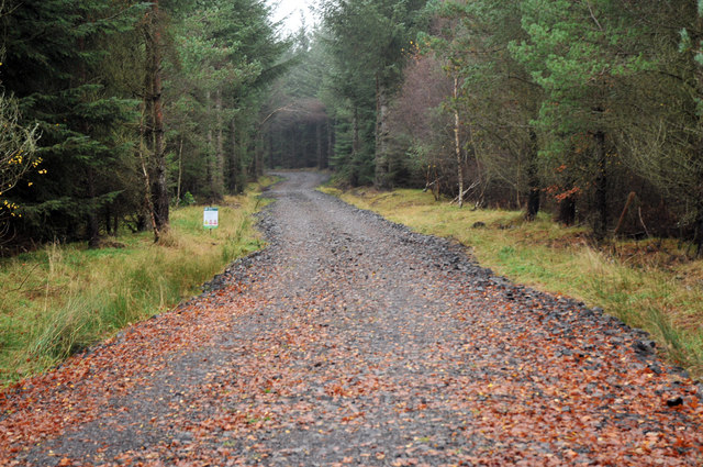
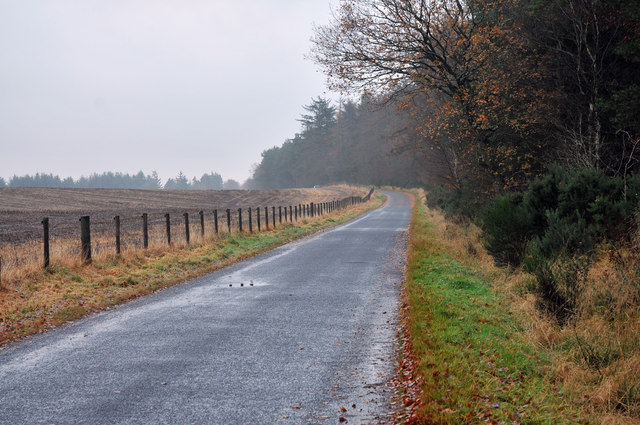
The muir boasts an extensive network of walking trails, allowing visitors to explore the woodlands and immerse themselves in the beauty of the surrounding environment. The trails wind through the forest, offering glimpses of enchanting wildflowers, ancient trees, and captivating wildlife along the way.

Aldbar Muir is home to a variety of bird species, including woodpeckers, owls, and finches, making it a popular spot for birdwatching. Visitors may also spot mammals such as deer, foxes, and rabbits, as well as numerous species of insects and butterflies.

The muir is managed by conservation organizations, which ensure the protection and preservation of its natural habitat. They also offer educational programs and guided walks to raise awareness about the importance of biodiversity and sustainable land management.

Whether for a leisurely stroll, wildlife observation, or simply a peaceful escape into nature, Aldbar Muir provides a captivating and enriching experience for all who visit.

If you have any feedback on the listing, please let us know in the comments section below.

Aldbar Muir Images

Images are sourced within 2km of 56.683693/-2.6970665 or Grid Reference NO5754. Thanks to Geograph Open Source API. All images are credited.

Pylons in Montreathmont Forest Pylons heading north-east through a clearing in Montreathmont Forest.
Pylons in Montreathmont Forest
Pylons heading north-east through a clearing in Montreathmont Forest.
Antenna on Montreathmont Moor Looking southwards to the antenna of the radio station on Montreathmont Moor.
Antenna on Montreathmont Moor
Looking southwards to the antenna of the radio station on Montreathmont Moor.
Muirside of Aldbar The roadside farm of Muisideof Aldbar by Brechin.
Muirside of Aldbar
The roadside farm of Muisideof Aldbar by Brechin.
Bench Mark, Woodend The Ordnance Survey bench mark is on the northeast face of the building.  For a wider view of the building <a href="https://www.geograph.org.uk/photo/2612574">NO5656 : All that's left of Woodend</a> and for further information on the cut mark and others in the area <span class="nowrap"><a title="http://www.bench-marks.org.uk/bm39637" rel="nofollow ugc noopener" href="http://www.bench-marks.org.uk/bm39637">Link</a><img style="margin-left:2px;" alt="External link" title="External link - shift click to open in new window" src="https://s1.geograph.org.uk/img/external.png" width="10" height="10"/></span>
Bench Mark, Woodend
The Ordnance Survey bench mark is on the northeast face of the building. For a wider view of the building NO5656 : All that's left of Woodend and for further information on the cut mark and others in the area LinkExternal link
All that's left of Woodend The steading known as Woodend is in a very ruinous state.  There is an Ordnance Survey cut mark on the northeast wall.
All that's left of Woodend
The steading known as Woodend is in a very ruinous state. There is an Ordnance Survey cut mark on the northeast wall.
Crook Hill At the highest point of Crook Hill are a number of trees.
Crook Hill
At the highest point of Crook Hill are a number of trees.
Minor road at Wood of Auldbar
Forestry road in Montreathmont Forest
Gated forestry track in Montreathmont Forest
Minor road through Montreathmont Forest
Forestry road in Montreathmont Forest
Minor road near Powsoddie
Forestry road into Montreathmont Forest
Mosstonmuir The site of 19th century gravel pits.
Mosstonmuir
The site of 19th century gravel pits.
Montreathmont Forest Some recent windthrow casualties.
Montreathmont Forest
Some recent windthrow casualties.
Alder wood, Montreathmont Forest A marshy area of woodland amongst the conifers.
Alder wood, Montreathmont Forest
A marshy area of woodland amongst the conifers.
Track, Montreathmont Forest Lots of young Scots pines in this part of the forest.
Track, Montreathmont Forest
Lots of young Scots pines in this part of the forest.
Path, Montreathmont Forest A wide but wet path continues from the end of the mapped road. The surrounding forest is dense, so the path was very useful.
Path, Montreathmont Forest
A wide but wet path continues from the end of the mapped road. The surrounding forest is dense, so the path was very useful.
Show me another place!

Aldbar Muir is located at Grid Ref: NO5754 (Lat: 56.683693, Lng: -2.6970665)

Unitary Authority: Angus

Police Authority: Tayside

What 3 Words

///simulates.overheat.sized. Near Friockheim, Angus

Related Wikis

Have you been to Aldbar Muir?

Leave your review of Aldbar Muir below (or comments, questions and feedback).