Carlogie Wood

Wood, Forest in Aberdeenshire

Scotland

Carlogie Wood

A93 towards Banchory
A93 towards Banchory Credit: Steven Brown

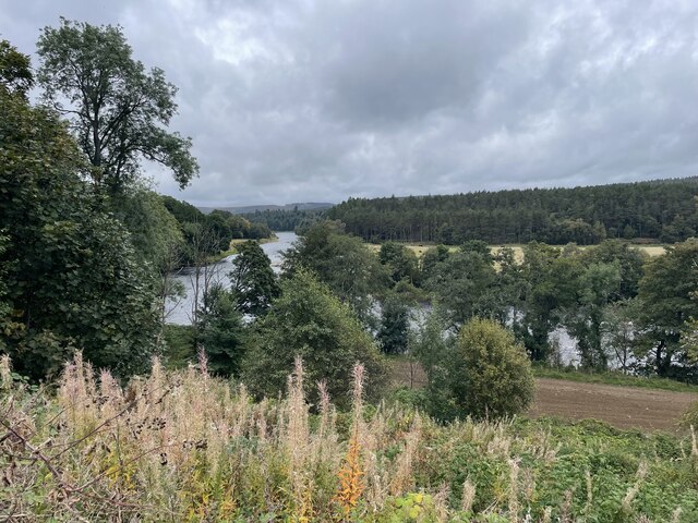
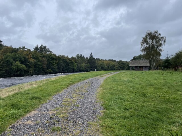
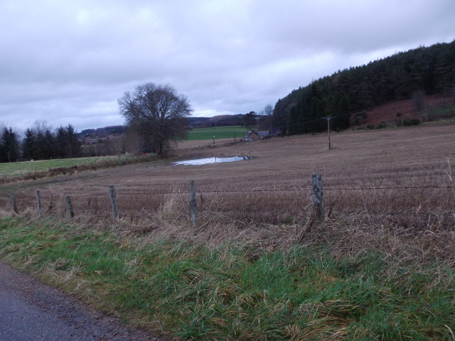
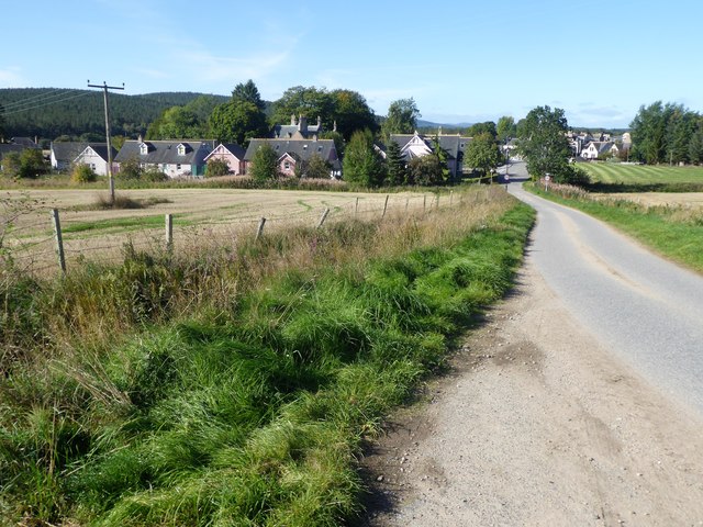
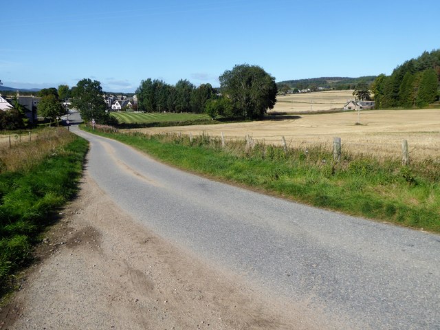
Carlogie Wood is a picturesque forest located in Aberdeenshire, Scotland. Covering an area of approximately 100 acres, it is a popular destination for nature lovers and outdoor enthusiasts. The wood is situated near the town of Carnoustie and offers a serene and tranquil environment for visitors to explore.

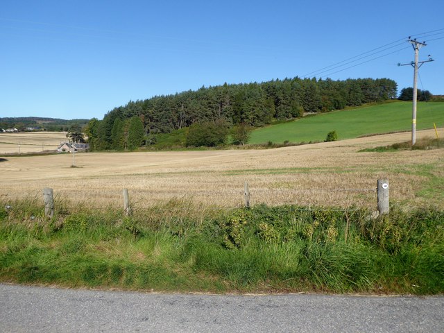
The wood is predominantly made up of Scots pine trees, which tower over the landscape and create a majestic atmosphere. The forest floor is covered in a thick carpet of moss and ferns, adding to the natural beauty of the area. The diverse range of plant and animal species found within Carlogie Wood make it an important habitat for wildlife.

Visitors to Carlogie Wood can enjoy a variety of recreational activities. There are several well-marked walking trails that wind through the forest, providing opportunities for leisurely strolls or more challenging hikes. The trails offer stunning views of the surrounding countryside and are suitable for all fitness levels.

The wood is also a popular spot for birdwatching, with a wide range of species residing in the area. Visitors may catch a glimpse of red squirrels, roe deer, or even the elusive pine marten. Additionally, there are designated picnic areas and viewing points throughout the wood, allowing visitors to relax and take in the natural beauty of their surroundings.

Overall, Carlogie Wood is a haven for nature enthusiasts, offering a peaceful escape from the hustle and bustle of everyday life. Whether it's a leisurely walk, birdwatching, or simply enjoying a picnic in the great outdoors, this forest has something to offer everyone.

If you have any feedback on the listing, please let us know in the comments section below.

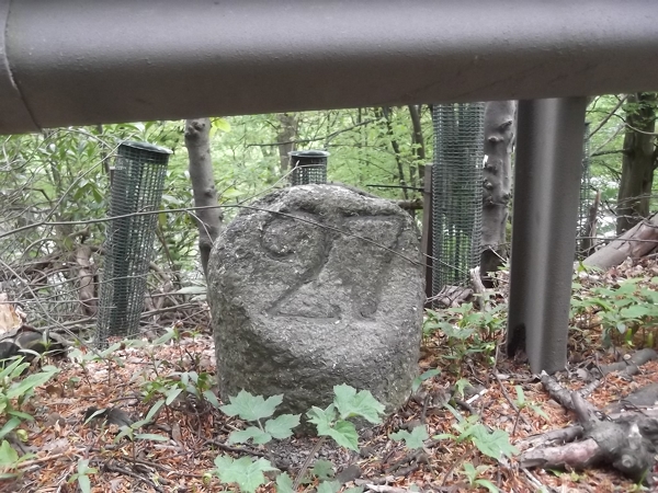
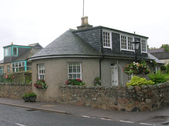
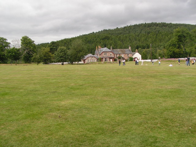
Carlogie Wood Images

Images are sourced within 2km of 57.08078/-2.6954595 or Grid Reference NO5799. Thanks to Geograph Open Source API. All images are credited.

A93 towards Banchory
Looking towards the River Dee
Fishermans Bothy
Fishermans Bothy
Flood water pool, January spate 2016 Near St Erchard's well, Kincardine O'Neil.
Flood water pool, January spate 2016
Near St Erchard's well, Kincardine O'Neil.
Entry into Kincardine O'Neil By minor road from Lower Craigton.
Entry into Kincardine O'Neil
By minor road from Lower Craigton.
A view west - - - - from a dogleg on the minor road into Kincardine O'Neil from Craigton.
A view west - -
- - from a dogleg on the minor road into Kincardine O'Neil from Craigton.
Gallowhill Wood Seen from Craigton to Kincardine O'Neil road.
Gallowhill Wood
Seen from Craigton to Kincardine O'Neil road.
Road (A93) through Kincardine O'Neil Looking north-westward.
Road (A93) through Kincardine O'Neil
Looking north-westward.
Ordnance Survey Flush Bracket G1165 This bracket can be found on the wall of a school in Kincardine O'Neil. The benchmark height is recorded as being 97.219 metres above sea level.
For more detail see : <span class="nowrap"><a title="https://www.bench-marks.org.uk/bm19991" rel="nofollow ugc noopener" href="https://www.bench-marks.org.uk/bm19991">Link</a><img style="margin-left:2px;" alt="External link" title="External link - shift click to open in new window" src="https://s1.geograph.org.uk/img/external.png" width="10" height="10"/></span>
Ordnance Survey Flush Bracket G1165
This bracket can be found on the wall of a school in Kincardine O'Neil. The benchmark height is recorded as being 97.219 metres above sea level. For more detail see : LinkExternal link
Old Milestone by the A93, Aboyne and Glentanner parish Aberdeen granite by the A93, in parish of Aboyne and Glentanner (Aberdeen District), East of drive down to Lower Dess House, under safety barrier, South side of road.

Inscription reads:-
27
(To Aberdeen)

Surveyed

Milestone Society National ID: AD_ADBM27
Old Milestone by the A93, Aboyne and Glentanner parish
Aberdeen granite by the A93, in parish of Aboyne and Glentanner (Aberdeen District), East of drive down to Lower Dess House, under safety barrier, South side of road. Inscription reads:- 27 (To Aberdeen) Surveyed Milestone Society National ID: AD_ADBM27
Cottages in Kincardine O'Neil
Former Tollhouse by the A93, Pitmurchie Road Kincardine O'Neil by the A93, in parish of KINCARDINE O'NEIL (Aberdeen District), The Toll House, Pitmurchie Road.

HES Grade C listed.
Reference: LB9562 <span class="nowrap"><a title="http://portal.historicenvironment.scot/designation/LB9562" rel="nofollow ugc noopener" href="http://portal.historicenvironment.scot/designation/LB9562">Link</a><img style="margin-left:2px;" alt="External link" title="External link - shift click to open in new window" src="https://s1.geograph.org.uk/img/external.png" width="10" height="10"/></span>

Surveyed

Milestone Society National ID: AD.KKO
Former Tollhouse by the A93, Pitmurchie Road
Kincardine O'Neil by the A93, in parish of KINCARDINE O'NEIL (Aberdeen District), The Toll House, Pitmurchie Road. HES Grade C listed. Reference: LB9562 LinkExternal link Surveyed Milestone Society National ID: AD.KKO
Kincardine O'Neil bowling green and clubhouse
Village approach The A93 just west of Kincardine O'Neil.
Village approach
The A93 just west of Kincardine O'Neil.
Former petrol station, Kincardine O'Neil The building seems to have both Shell (red and yellow) and Gleaner corporate branding.
Former petrol station, Kincardine O'Neil
The building seems to have both Shell (red and yellow) and Gleaner corporate branding.
Former tollhouse, Kincardine O'Neil Dating from around 1803 when the Aberdeen to Ballater turnpike opened and C-listed: <span class="nowrap"><a title="http://portal.historicenvironment.scot/designation/LB9562" rel="nofollow ugc noopener" href="http://portal.historicenvironment.scot/designation/LB9562">Link</a><img style="margin-left:2px;" alt="External link" title="External link - shift click to open in new window" src="https://s1.geograph.org.uk/img/external.png" width="10" height="10"/></span> .
Former tollhouse, Kincardine O'Neil
Dating from around 1803 when the Aberdeen to Ballater turnpike opened and C-listed: LinkExternal link .
Ex-council houses, Kincardine O'Neil
Kincardine O'Neil episcopal church Now (2019) the only place for organised worship in the village since the Church of Scotland gave up the ghost.  Built 1866 in an attractive Early English style and C-listed: <span class="nowrap"><a title="http://portal.historicenvironment.scot/designation/LB9563" rel="nofollow ugc noopener" href="http://portal.historicenvironment.scot/designation/LB9563">Link</a><img style="margin-left:2px;" alt="External link" title="External link - shift click to open in new window" src="https://s1.geograph.org.uk/img/external.png" width="10" height="10"/></span> .  Architect William Hay (<span class="nowrap"><a title="http://www.scottisharchitects.org.uk/architect_full.php?id=201139" rel="nofollow ugc noopener" href="http://www.scottisharchitects.org.uk/architect_full.php?id=201139">Link</a><img style="margin-left:2px;" alt="External link" title="External link - shift click to open in new window" src="https://s1.geograph.org.uk/img/external.png" width="10" height="10"/></span> ).
Kincardine O'Neil episcopal church
Now (2019) the only place for organised worship in the village since the Church of Scotland gave up the ghost. Built 1866 in an attractive Early English style and C-listed: LinkExternal link . Architect William Hay (LinkExternal link ).
Show me another place!

Carlogie Wood is located at Grid Ref: NO5799 (Lat: 57.08078, Lng: -2.6954595)

Unitary Authority: Aberdeenshire

Police Authority: North East

What 3 Words

///custodial.fits.stars. Near Torphins, Aberdeenshire

Nearby Locations

Carlogie Wood

Related Wikis

Kincardine O'Neil Hospital, Aberdeenshire

Kincardine O'Neil Hospital was founded in the 13th century in the village of Kincardine O'Neil in Scotland. Almost certainly it served as a traveler's...

Kincardine O'Neil

Kincardine O'Neil (Scottish Gaelic: Cinn Chàrdainn, Scots: Kinker) is a village in Aberdeenshire, Scotland. It is situated between the towns of Banchory...

Dess railway station

Dess railway station was opened on 2 December 1859 on the Deeside Extension Railway and served the rural area around Dess House and estate from 1859 to...

Belwade Farm

Belwade Farm is a horse stables near Aboyne, Scotland owned by World Horse Welfare. == History == A new visitor centre and indoor arena was opened by Princess...

Kincardine Castle, Royal Deeside

Kincardine Castle is a Victorian country house in Royal Deeside, Scotland. Formerly known as Kincardine House, it is the private home of the Bradford family...

Kinminity

Kinminity is a former village located south-east of Birse, Aberdeenshire in Scotland. == History == The property was in hands of the cadet family of Sutherlands...

Dinnie Stones

The Dinnie Stones (also called Stanes or Steens) are a pair of Scottish lifting stones located in Potarch, Aberdeenshire. They were made famous by strongman...

Potarch

Potarch ( pot-ARKH) is a hamlet in Aberdeenshire, Scotland, with a bridge across the River Dee.It is a popular location with tourists and day-trippers...

Have you been to Carlogie Wood?

Leave your review of Carlogie Wood below (or comments, questions and feedback).