Arn Wood

Wood, Forest in Aberdeenshire

Scotland

Arn Wood

Wester Leys Farm entrance
Wester Leys Farm entrance Credit: Ralph Greig

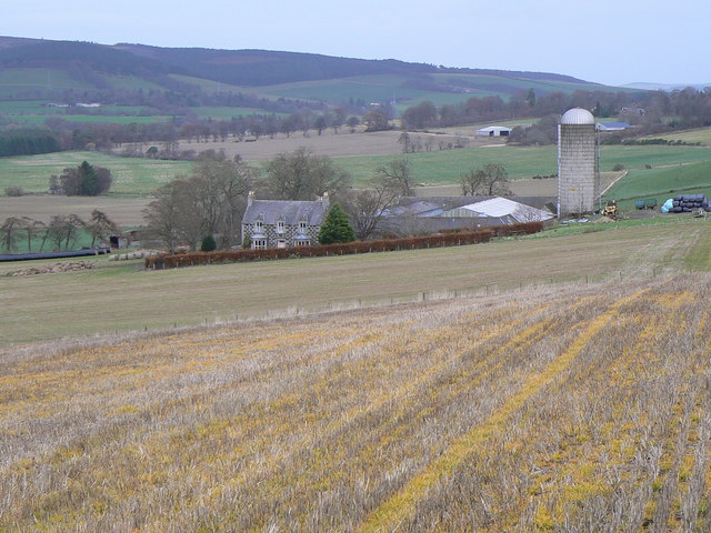
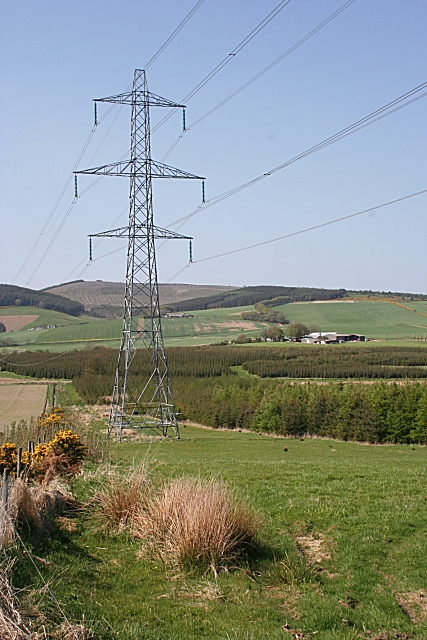
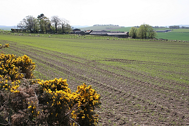
Arn Wood is a picturesque forest located in Aberdeenshire, Scotland. Spanning over a vast area, it is a popular destination for nature enthusiasts and hikers seeking solace amidst the serene surroundings. The wood is nestled amidst rolling hills and offers breathtaking views of the surrounding countryside.

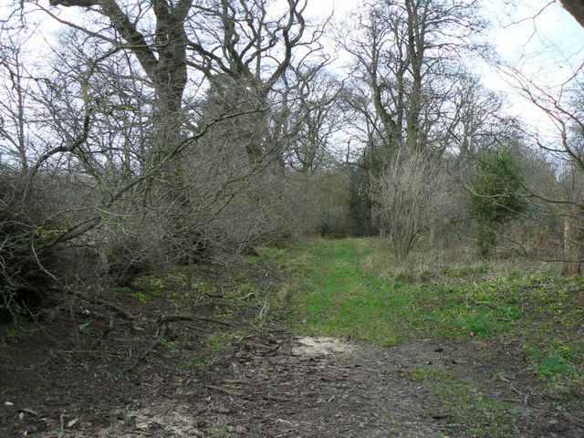
The forest is predominantly composed of deciduous and coniferous trees, creating a diverse ecosystem and providing a habitat for a wide range of flora and fauna. Visitors can expect to encounter species such as oak, beech, pine, and spruce, adding to the scenic beauty of the area. The forest floor is adorned with a vibrant carpet of wildflowers during the spring and summer months, further enhancing its allure.

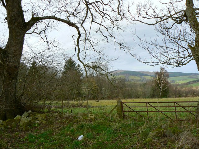
Several well-marked trails wind through Arn Wood, catering to individuals of all fitness levels. These trails provide an opportunity to explore the forest at one's own pace, unveiling hidden gems such as tranquil ponds and cascading waterfalls along the way. The wood is also home to an abundance of wildlife, including deer, squirrels, and a variety of bird species, making it a haven for nature lovers and photographers.

In addition to its natural splendor, Arn Wood also offers various recreational activities. Picnic areas are scattered throughout the forest, providing a perfect spot for visitors to relax and enjoy a meal amidst the tranquil ambiance. Furthermore, the wood boasts well-maintained camping facilities, allowing visitors to immerse themselves in nature for an extended period.

Overall, Arn Wood in Aberdeenshire is a haven of natural beauty, offering a diverse range of flora and fauna, picturesque trails, and recreational opportunities. It is a must-visit destination for those seeking an escape from the hustle and bustle of everyday life.

If you have any feedback on the listing, please let us know in the comments section below.
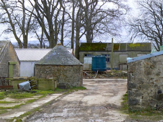
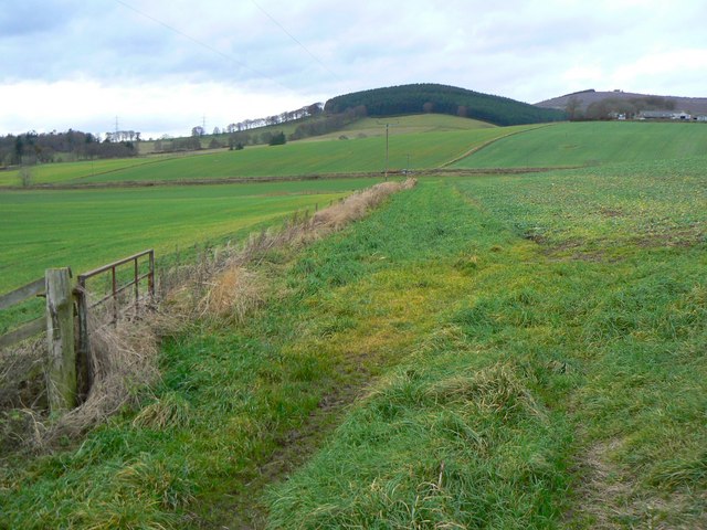
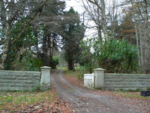
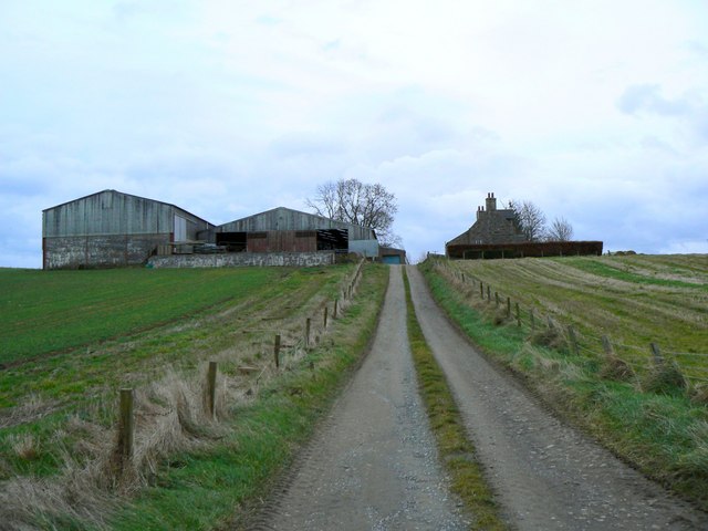
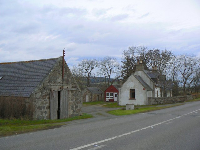
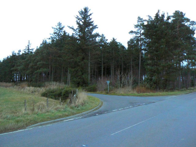
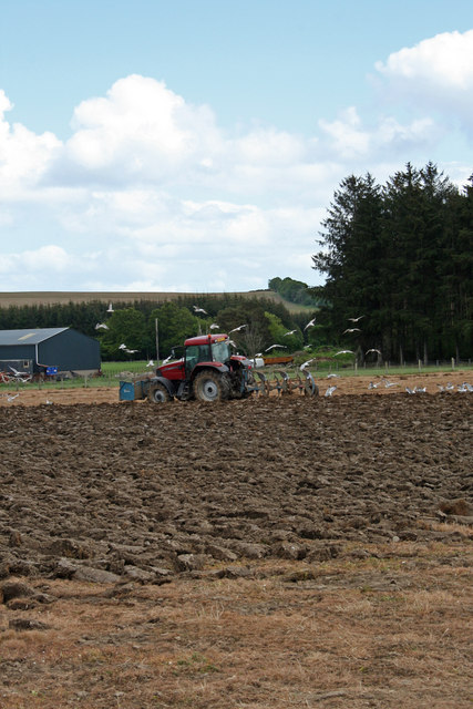
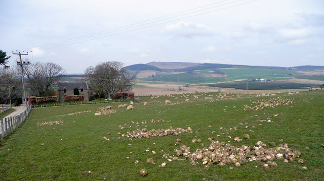
Arn Wood Images

Images are sourced within 2km of 57.466939/-2.7030971 or Grid Reference NJ5742. Thanks to Geograph Open Source API. All images are credited.

Wester Leys Farm entrance
Junction of roads at Meikleton Looking south-eastward towards Mains of Corse.
Junction of roads at Meikleton
Looking south-eastward towards Mains of Corse.
Minor road at Haughs of Corse Looking north-westward.
Minor road at Haughs of Corse
Looking north-westward.
Corse is off to the left along the A97.
Gerrieswells Farm Farm beside Newtongarry Hill.
Gerrieswells Farm
Farm beside Newtongarry Hill.
North of Baron's Gate Woodland to the north of the track between Meikleton and Home Farm.
North of Baron's Gate
Woodland to the north of the track between Meikleton and Home Farm.
West of Lessendrum Track through woodland, leading west to Home Farm.
West of Lessendrum
Track through woodland, leading west to Home Farm.
Round Tower Standing prominently on a hill to the west of Meikleton Farm, this tower is marked on O.S. maps as a Doocot, but is of rather an unusual design.
Round Tower
Standing prominently on a hill to the west of Meikleton Farm, this tower is marked on O.S. maps as a Doocot, but is of rather an unusual design.
Circular farm building An unusual circular building with a conical roof in Pitfancy farmyard.
Circular farm building
An unusual circular building with a conical roof in Pitfancy farmyard.
Four fields, four shades of green Rolling agricultural land with Cruchie Wood in the background.
Four fields, four shades of green
Rolling agricultural land with Cruchie Wood in the background.
Drive to Cobairdy Entrance to Cobairdy estate and home farm.
Drive to Cobairdy
Entrance to Cobairdy estate and home farm.
Cruchie Farm Well-maintained road leading to the farm.
Cruchie Farm
Well-maintained road leading to the farm.
Easter Leys farm Situated alongside the A97 road.
Easter Leys farm
Situated alongside the A97 road.
Costlyburn plantation Woodland just north of the A97.
Costlyburn plantation
Woodland just north of the A97.
Ploughing The Seagulls are having a feast behind this plough.  The tractor has a box on the front to act as a counter balance to the weight of the plough and the soil. Usually the front of the tractor has weights fixed to it but if the tractor if used for other non cultivation jobs most of the time these weights are discarded and other things are used. It is also possible that the tractor driver was gathering rocks from the land while ploughing.
Ploughing
The Seagulls are having a feast behind this plough. The tractor has a box on the front to act as a counter balance to the weight of the plough and the soil. Usually the front of the tractor has weights fixed to it but if the tractor if used for other non cultivation jobs most of the time these weights are discarded and other things are used. It is also possible that the tractor driver was gathering rocks from the land while ploughing.
Netherton Comisty The ewes on this pasture have the added nutrition of turnips. In the distance to the north-west is the bald pate of Fourman Hill.
Netherton Comisty
The ewes on this pasture have the added nutrition of turnips. In the distance to the north-west is the bald pate of Fourman Hill.
Power Line Pylons dominate the scenery in this square. The farm at centre left is Pitfancy, and on the skyline is Fourman Hill.
Power Line
Pylons dominate the scenery in this square. The farm at centre left is Pitfancy, and on the skyline is Fourman Hill.
Nether Comisty Recently sown land is beginning to turn green as the young shoots appear.
Nether Comisty
Recently sown land is beginning to turn green as the young shoots appear.
Show me another place!

Arn Wood is located at Grid Ref: NJ5742 (Lat: 57.466939, Lng: -2.7030971)

Unitary Authority: Aberdeenshire

Police Authority: North East

What 3 Words

///reshaping.poorly.sports. Near Huntly, Aberdeenshire

Nearby Locations

Arn Wood

Related Wikis

Nearby Amenities

Located within 500m of 57.466939,-2.7030971
Power: pole
Lat/Long: 57.4710012/-2.7026102
Power: pole
Lat/Long: 57.4703599/-2.7020925
Power: pole
Lat/Long: 57.4697216/-2.7020963
Power: pole
Lat/Long: 57.4691895/-2.7021002
Power: pole
Lat/Long: 57.4710301/-2.7013427
Power: pole
Lat/Long: 57.4702846/-2.7004817
Power: pole
Lat/Long: 57.4696896/-2.6993886
Power: pole
Lat/Long: 57.4693472/-2.6987539
Power: pole
Lat/Long: 57.4689698/-2.6980502
Power: pole
Lat/Long: 57.4687553/-2.6965314
Power: pole
Lat/Long: 57.4686409/-2.695563
Power: pole
Lat/Long: 57.4648185/-2.7097764
Power: pole
Lat/Long: 57.4655754/-2.7098051
Power: pole
Lat/Long: 57.4661901/-2.7088847
Power: pole
Lat/Long: 57.4668047/-2.7079565
Power: pole
Lat/Long: 57.4673503/-2.7071511
Power: pole
Lat/Long: 57.4676689/-2.7058817
Power: pole
Lat/Long: 57.4680288/-2.7043495
Power: pole
Lat/Long: 57.4684011/-2.7028193
Power: pole
Lat/Long: 57.4687667/-2.7013676
Power: pole
Lat/Long: 57.4691987/-2.7004299
Power: pole
Lat/Long: 57.4703217/-2.6980463
Power: pole
Lat/Long: 57.4666016/-2.7100774
Power: pole
Lat/Long: 57.467012/-2.7112913
Power: pole
Lat/Long: 57.4666067/-2.6952754
Power: pole
Lat/Long: 57.4668295/-2.6961613
Power: pole
Lat/Long: 57.4671863/-2.6975372
Power: pole
Lat/Long: 57.4675545/-2.6984922
Power: pole
Lat/Long: 57.4679886/-2.6996446
Power: pole
Lat/Long: 57.4683753/-2.7007473
Power: pole
Lat/Long: 57.4659395/-2.6957298
Power: pole
Lat/Long: 57.4652124/-2.6962342
Power: pole
Lat/Long: 57.46454/-2.6966829
The data included in this document is from www.openstreetmap.org. The data is made available under ODbL.

Have you been to Arn Wood?

Leave your review of Arn Wood below (or comments, questions and feedback).