Stobedge Wood
Wood, Forest in Roxburghshire
Scotland
Stobedge Wood
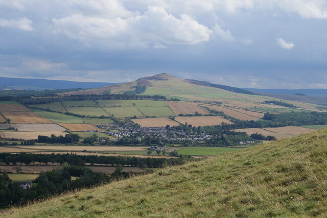
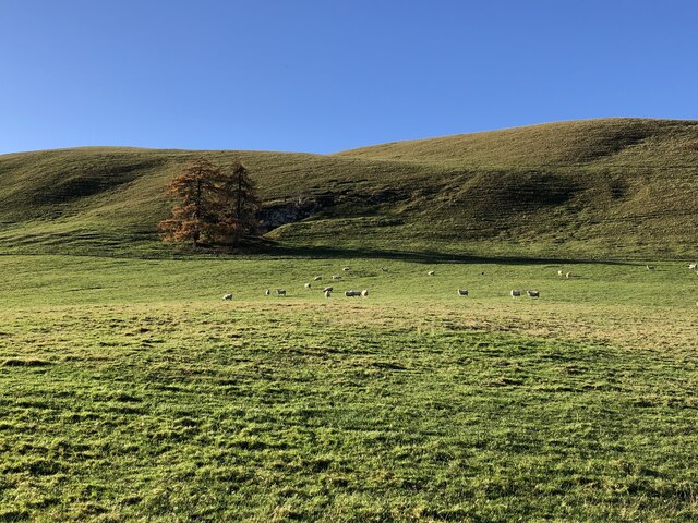
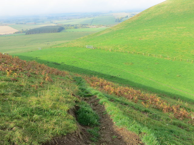
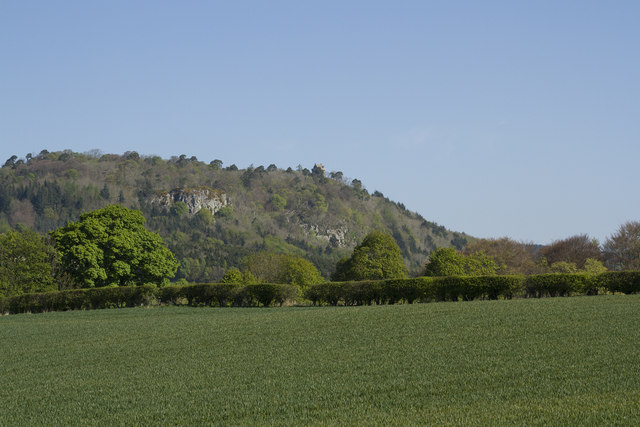
Stobedge Wood is a picturesque woodland located in Roxburghshire, a historic county in the Scottish Borders region of Scotland. Covering an area of approximately 300 hectares, the wood is a mix of broadleaf and coniferous trees, creating a diverse and vibrant ecosystem.
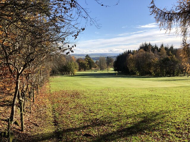
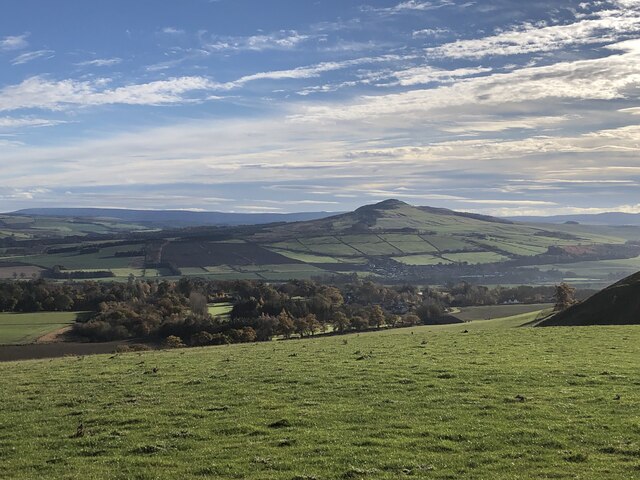
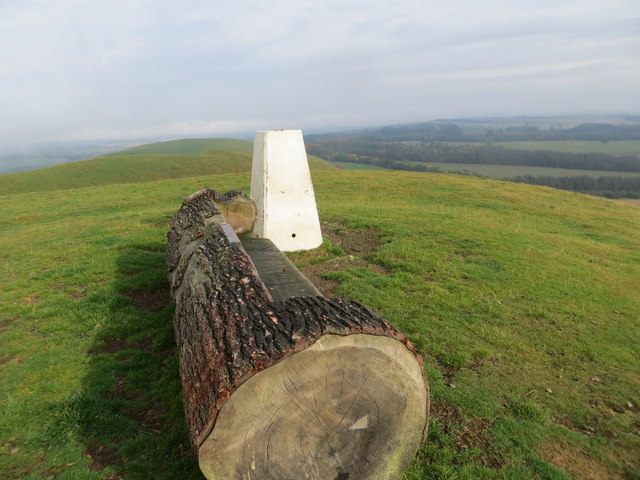
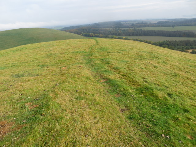
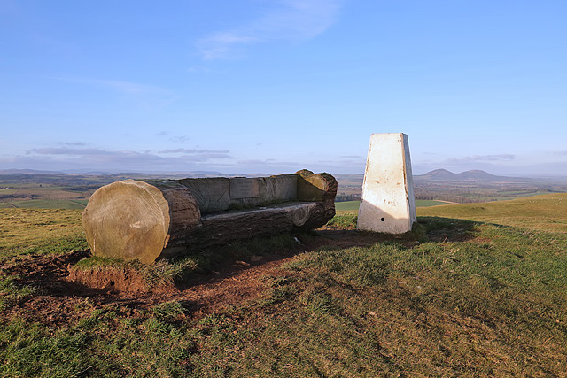
The wood sits on the southern slope of the Eildon Hills, offering stunning views of the surrounding countryside. It is easily accessible, with a network of well-maintained trails for visitors to explore. These trails wind their way through the wood, providing opportunities for walking, cycling, and horseback riding.
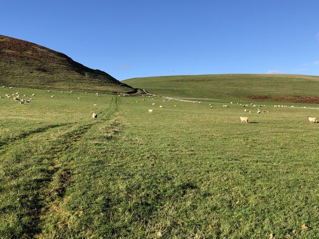
Stobedge Wood is known for its rich biodiversity, with a variety of plant and animal species calling it home. The wood is home to native species such as oak, birch, and rowan, while conifers like pine and spruce have been introduced throughout the years. This mix of trees creates a habitat for a wide range of wildlife, including red squirrels, roe deer, and a diverse array of bird species.
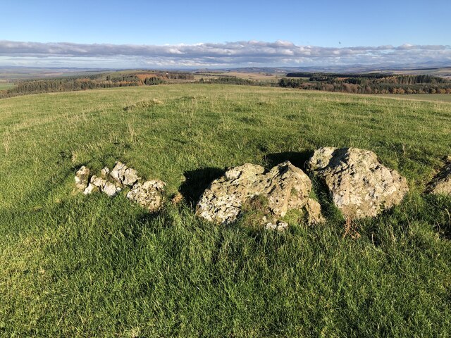
The wood is also steeped in history, with remnants of ancient settlements and archaeological sites scattered throughout. It is believed that Stobedge Wood has been inhabited for thousands of years, and evidence of this can still be seen in the form of standing stones and earthworks.
Stobedge Wood is a cherished natural gem in Roxburghshire, offering both locals and visitors a tranquil escape into nature, with its scenic beauty, recreational opportunities, and rich historical significance.
If you have any feedback on the listing, please let us know in the comments section below.
Stobedge Wood Images
Images are sourced within 2km of 55.484916/-2.6725931 or Grid Reference NT5721. Thanks to Geograph Open Source API. All images are credited.

Stobedge Wood is located at Grid Ref: NT5721 (Lat: 55.484916, Lng: -2.6725931)
Unitary Authority: The Scottish Borders
Police Authority: The Lothians and Scottish Borders
What 3 Words
///navy.recruiter.amending. Near Jedburgh, Scottish Borders
Nearby Locations
Related Wikis
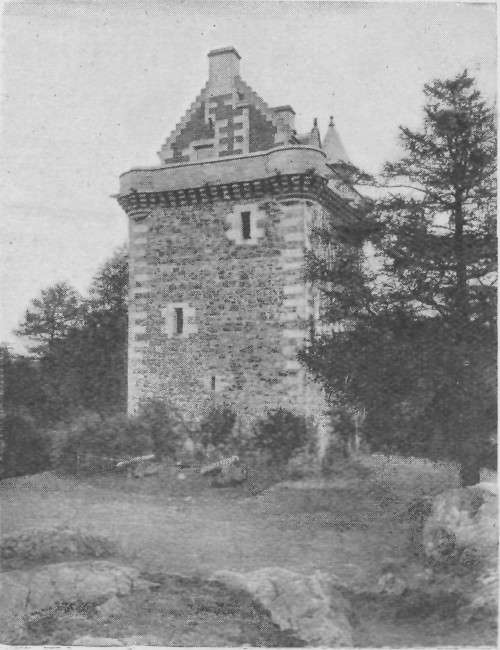
Fatlips Castle
Fatlips Castle is a peel tower in Roxburghshire, in the Scottish Borders. Situated at the top of Minto Crags, above the River Teviot, it was built in the...

Craigmount School
Craigmount School was a private school originally for boys, but for most of its history for girls, in Edinburgh. It opened in 1874 and closed in 1966....

Barnhills Tower
Barnhills Tower was a 16th century tower house about 4.5 miles (7.2 km) west of Jedburgh in the Scottish Borders, Scotland, north of the River Teviot...
Rule Water
The Rule Water is a river in the Scottish Borders area of Scotland, and a tributary of the River Teviot. The Rule Water rises in Wauchope Forest and passes...
Nearby Amenities
Located within 500m of 55.484916,-2.6725931Have you been to Stobedge Wood?
Leave your review of Stobedge Wood below (or comments, questions and feedback).