Butterhall Strip
Wood, Forest in Roxburghshire
Scotland
Butterhall Strip
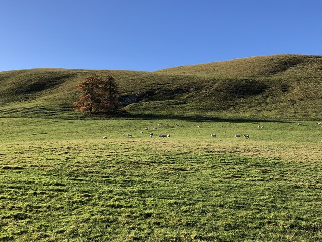
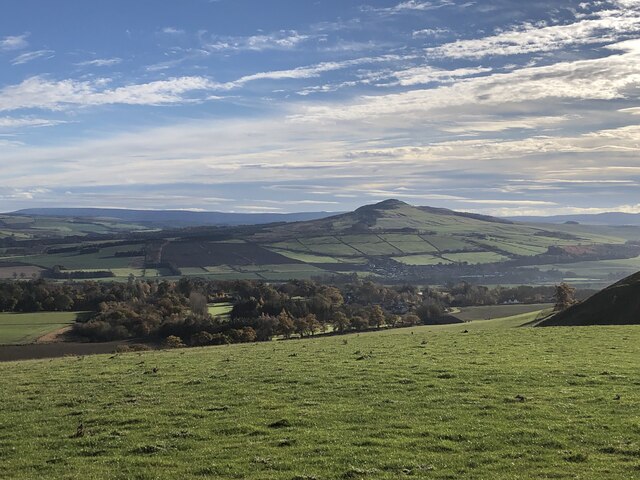
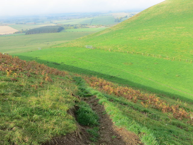
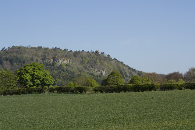
Butterhall Strip, located in Roxburghshire, Scotland, is a picturesque wood or forest area that offers visitors a serene and natural escape. Spanning approximately 200 acres, this woodland is known for its diverse range of flora and fauna, making it a popular destination for nature enthusiasts and outdoor adventurers.
The wood is predominantly composed of native tree species such as oak, birch, and Scots pine, creating a rich and vibrant ecosystem. The canopy of these majestic trees provides shade and shelter for a variety of wildlife, including deer, foxes, and a wide range of bird species.
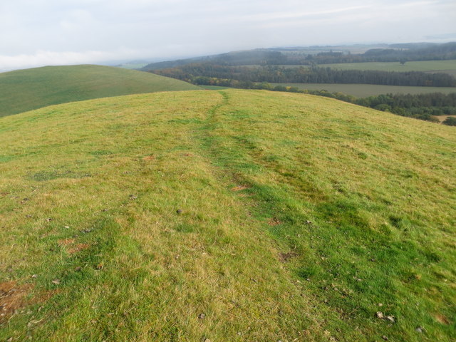
Visitors to Butterhall Strip can enjoy a network of well-maintained walking trails that wind through the woodland, allowing for leisurely strolls or more challenging hikes. These paths provide opportunities to observe the local wildlife and admire the natural beauty of the area.
One notable feature of Butterhall Strip is the presence of a small river that meanders through the wood. This river not only adds to the scenic charm of the area but also serves as a valuable water source for the local flora and fauna.
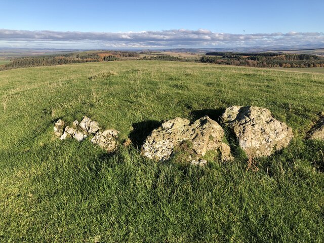
For those interested in history, the wood has a rich cultural and archaeological heritage. Ruins of old buildings and remnants of ancient settlements can be found within the woodland, offering a glimpse into the area's past.
Overall, Butterhall Strip in Roxburghshire is a captivating wood or forest that offers a tranquil and immersive experience in nature. Whether visitors are seeking a peaceful retreat, wildlife spotting, or a chance to explore history, this wood provides an idyllic setting for all.
If you have any feedback on the listing, please let us know in the comments section below.
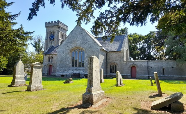
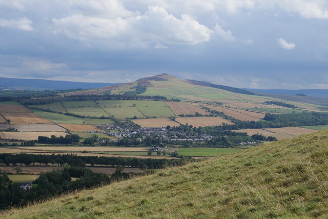
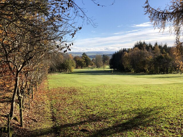
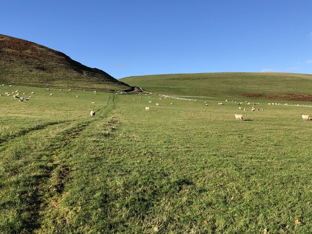
Butterhall Strip Images
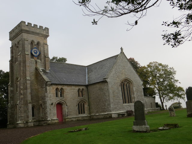
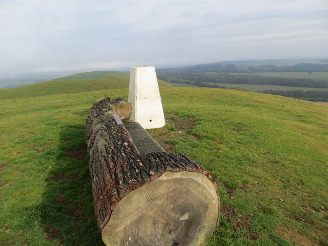
Images are sourced within 2km of 55.481157/-2.6812789 or Grid Reference NT5721. Thanks to Geograph Open Source API. All images are credited.

Butterhall Strip is located at Grid Ref: NT5721 (Lat: 55.481157, Lng: -2.6812789)
Unitary Authority: The Scottish Borders
Police Authority: The Lothians and Scottish Borders
What 3 Words
///defeat.swarm.squirts. Near Jedburgh, Scottish Borders
Nearby Locations
Related Wikis

Craigmount School
Craigmount School was a private school originally for boys, but for most of its history for girls, in Edinburgh. It opened in 1874 and closed in 1966....
Minto, Scottish Borders
Minto is a village and parish in the Scottish Borders area of Scotland in Roxburghshire county. It is located 6 miles (10 kilometres) north-east of Hawick...
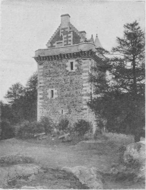
Fatlips Castle
Fatlips Castle is a peel tower in Roxburghshire, in the Scottish Borders. Situated at the top of Minto Crags, above the River Teviot, it was built in the...

Barnhills Tower
Barnhills Tower was a 16th century tower house about 4.5 miles (7.2 km) west of Jedburgh in the Scottish Borders, Scotland, north of the River Teviot...
Rule Water
The Rule Water is a river in the Scottish Borders area of Scotland, and a tributary of the River Teviot. The Rule Water rises in Wauchope Forest and passes...
Spittal-on-Rule
Spittal-on-Rule is a farm in the council area of Scottish Borders in Scotland. As the name suggests it is situated on the river Rule Water, and the Spittal...

Hassendean railway station
Hassendean railway station served the village of Hassendean, Scottish Borders, Scotland from 1850 to 1969 on the Waverley Route. == History == The station...

Hassendean, Scottish Borders
Hassendean is a hamlet in the Scottish Borders south of Edinburgh, Scotland. The stream is the Hassendean Burn which flows down to the River Teviot five...
Nearby Amenities
Located within 500m of 55.481157,-2.6812789Have you been to Butterhall Strip?
Leave your review of Butterhall Strip below (or comments, questions and feedback).