East Wood
Wood, Forest in East Lothian
Scotland
East Wood
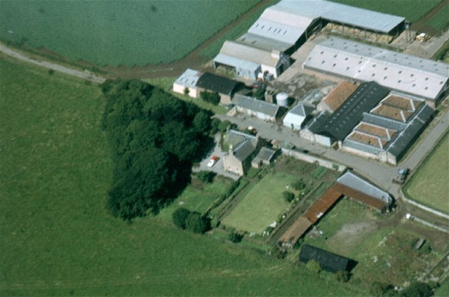
East Wood is a charming forest located in East Lothian, Scotland. Spanning over a vast area, this woodland is a haven for nature lovers and outdoor enthusiasts. The forest is easily accessible and is situated near several towns and villages, making it a popular destination for locals and tourists alike.
The woodland features a diverse range of flora and fauna, with tall trees dominating the landscape. The forest is mostly comprised of native species such as oak, birch, and pine, which provide a picturesque backdrop for visitors. The forest floor is covered in a thick carpet of moss and ferns, adding to its natural beauty.
East Wood is home to a variety of wildlife, including deer, squirrels, and numerous bird species. Birdwatchers flock to the forest to spot rare and migratory birds that nest in the area. The tranquil atmosphere and peaceful surroundings make it an ideal spot for bird watching and wildlife photography.
The forest offers a network of well-maintained trails and paths, allowing visitors to explore the woodland at their own pace. These trails range from easy strolls to more challenging hikes, catering to all levels of fitness and ability. There are also designated picnic areas and viewpoints throughout the forest, providing visitors with the perfect opportunity to relax and enjoy the scenic surroundings.
East Wood is not only a natural gem but also plays an important role in the conservation of the local ecosystem. Efforts are made to preserve the forest and protect its inhabitants, ensuring that future generations can continue to appreciate its beauty and serenity.
If you have any feedback on the listing, please let us know in the comments section below.
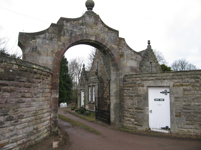
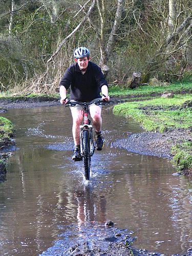
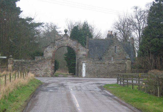
East Wood Images
Images are sourced within 2km of 56.032543/-2.6915563 or Grid Reference NT5782. Thanks to Geograph Open Source API. All images are credited.


East Wood is located at Grid Ref: NT5782 (Lat: 56.032543, Lng: -2.6915563)
Unitary Authority: East Lothian
Police Authority: The Lothians and Scottish Borders
What 3 Words
///shadowed.magic.oven. Near North Berwick, East Lothian
Nearby Locations
Related Wikis

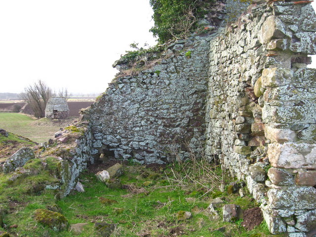
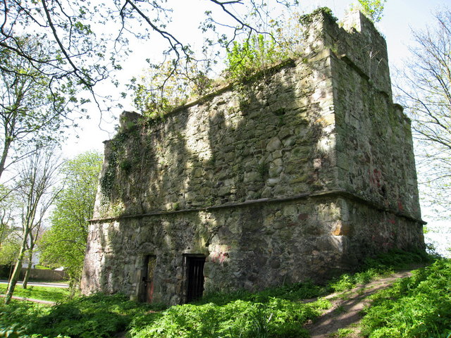
Waughton Castle
Waughton Castle is a ruined castle, dating from the fourteenth century, about 3 miles (4.8 km) north of East Linton, and 2 miles (3.2 km) west of Whitekirk...
St. Mary's Priory (Lothian)
St. Mary's Priory, North Berwick, was a monastery of nuns in medieval East Lothian, Scotland. Founded by Donnchad I, Earl of Fife (owner of much of northern...

North Berwick Law
North Berwick Law, sometimes abbreviated to Berwick Law, is a conical hill which rises conspicuously from the surrounding landscape (this is the definition...

John Muir Way
The John Muir Way is a 215-kilometre (130 mi) continuous long-distance route in southern Scotland, running from Helensburgh, Argyll and Bute in the west...
Nearby Amenities
Located within 500m of 56.032543,-2.6915563Have you been to East Wood?
Leave your review of East Wood below (or comments, questions and feedback).