Malcolm's Moss
Downs, Moorland in Roxburghshire
Scotland
Malcolm's Moss
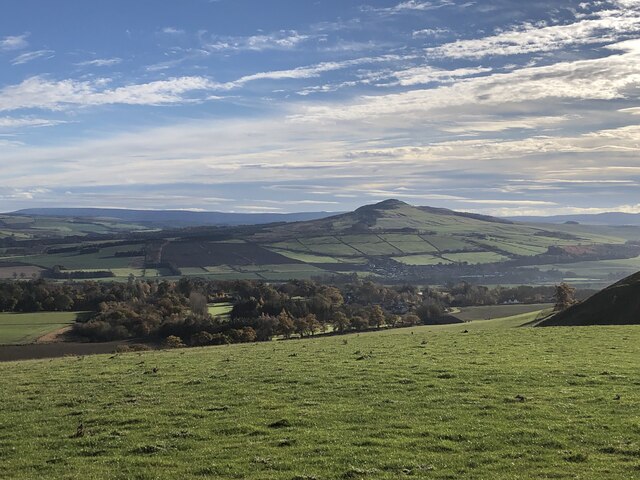
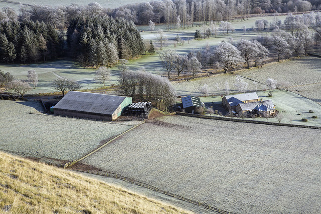
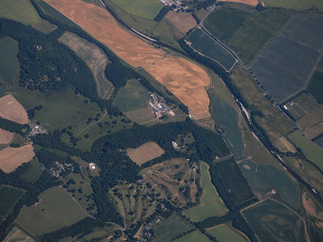
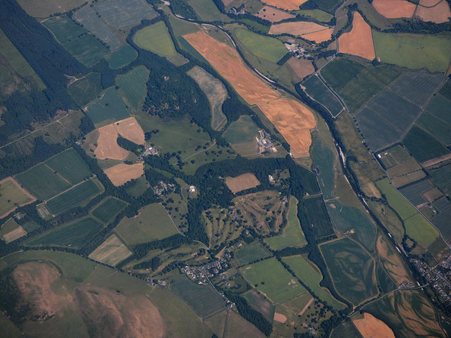
Malcolm's Moss, located in Roxburghshire, is a unique and picturesque landscape that encompasses both downs and moorland. Spanning over a vast area, this natural wonder is renowned for its diverse flora and fauna, making it a popular destination for nature enthusiasts and wildlife lovers alike.
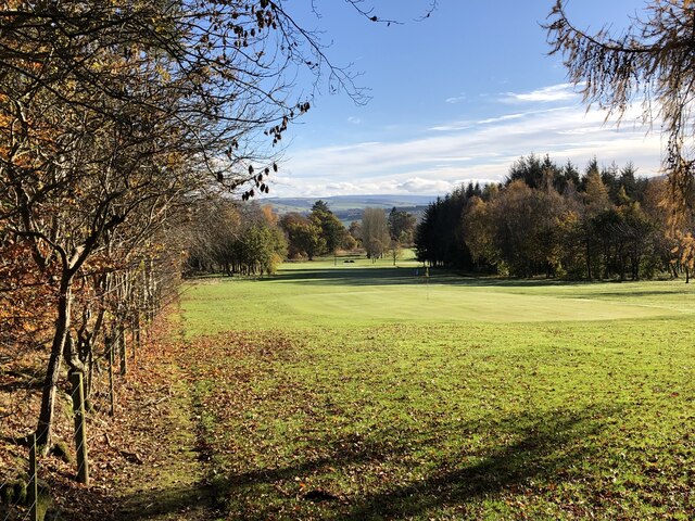
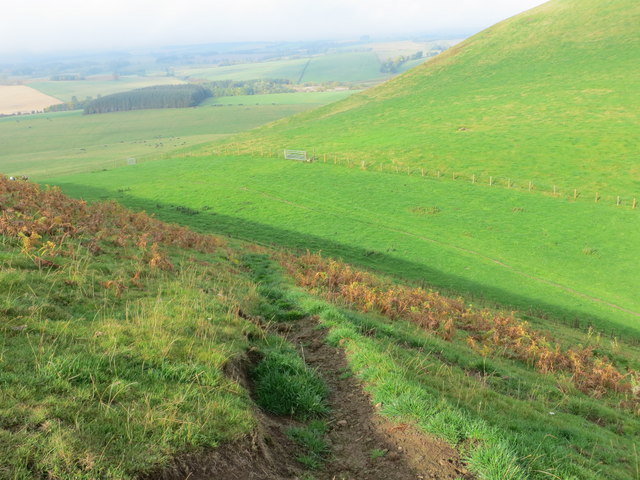
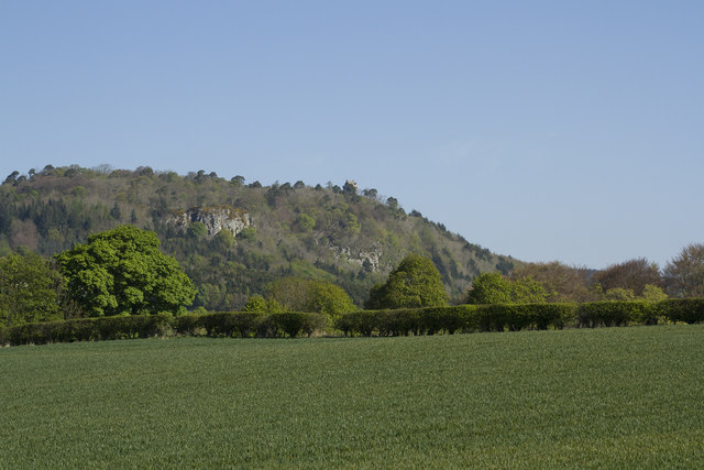
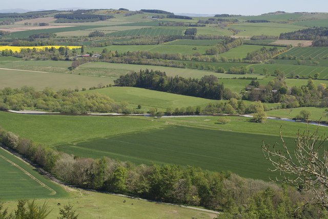
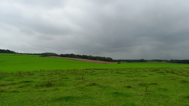
The downs of Malcolm's Moss are characterized by gently rolling hills and open grassland, providing a serene and tranquil atmosphere. The lush greenery is dotted with colorful wildflowers during the spring and summer months, creating a vibrant and visually appealing landscape. The downs also offer breathtaking panoramic views of the surrounding countryside, making it a perfect spot for hikers and photographers.
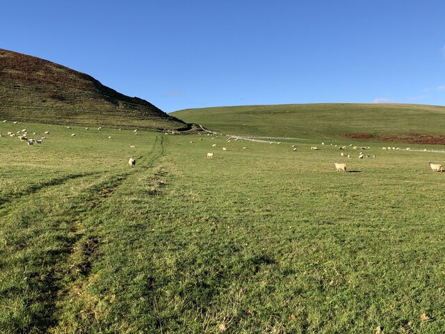
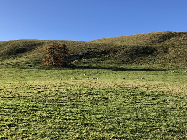
In contrast, the moorland of Malcolm's Moss is a more rugged and untamed terrain. Here, one can find extensive heather-covered expanses, interspersed with patches of marshland and scattered lochs. The moorland is home to a wide array of bird species, including red grouse, curlews, and golden plovers, making it a haven for birdwatching enthusiasts. Additionally, the moorland provides a habitat for various mammal species, such as red deer and mountain hares.
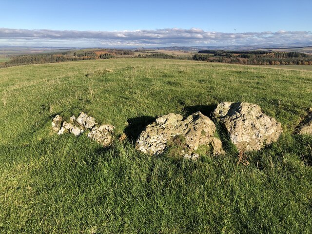
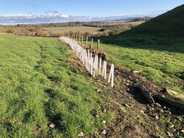
Visitors to Malcolm's Moss can explore the area through several walking trails and paths, allowing them to immerse themselves in the natural beauty of the downs and moorland. The site is also equipped with informative signposts and interpretation boards, providing visitors with insights into the unique ecology and history of the area.
Overall, Malcolm's Moss in Roxburghshire offers a captivating blend of downs and moorland, offering visitors a chance to experience the diverse and stunning landscapes of this enchanting region.
If you have any feedback on the listing, please let us know in the comments section below.
Malcolm's Moss Images
Images are sourced within 2km of 55.488833/-2.6693523 or Grid Reference NT5721. Thanks to Geograph Open Source API. All images are credited.

Malcolm's Moss is located at Grid Ref: NT5721 (Lat: 55.488833, Lng: -2.6693523)
Unitary Authority: The Scottish Borders
Police Authority: The Lothians and Scottish Borders
What 3 Words
///longer.parading.novelist. Near Jedburgh, Scottish Borders
Nearby Locations
Related Wikis
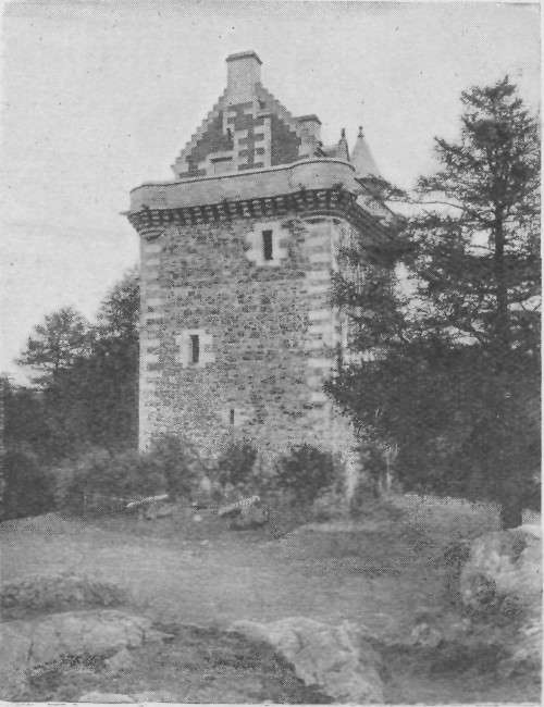
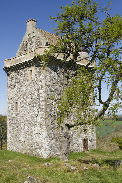
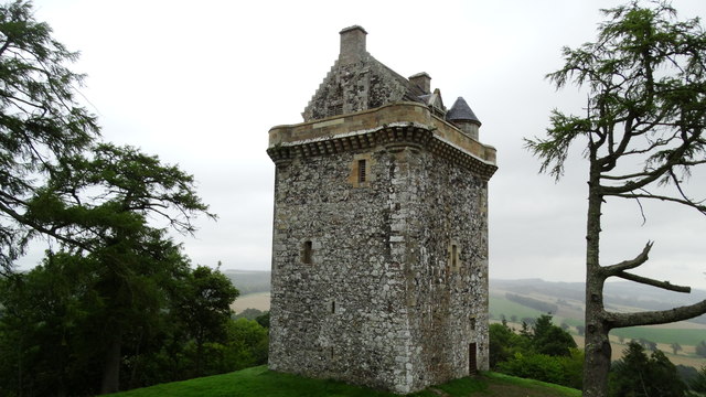
Fatlips Castle
Fatlips Castle is a peel tower in Roxburghshire, in the Scottish Borders. Situated at the top of Minto Crags, above the River Teviot, it was built in the...

Barnhills Tower
Barnhills Tower was a 16th century tower house about 4.5 miles (7.2 km) west of Jedburgh in the Scottish Borders, Scotland, north of the River Teviot...

Craigmount School
Craigmount School was a private school originally for boys, but for most of its history for girls, in Edinburgh. It opened in 1874 and closed in 1966....
Rule Water
The Rule Water is a river in the Scottish Borders area of Scotland, and a tributary of the River Teviot. The Rule Water rises in Wauchope Forest and passes...
Nearby Amenities
Located within 500m of 55.488833,-2.6693523Have you been to Malcolm's Moss?
Leave your review of Malcolm's Moss below (or comments, questions and feedback).