Polton Wood

Wood, Forest in Berwickshire

Scotland

Polton Wood

Field access near Boon Through a shelter belt from the track between Boon and Legerwood. See two earlier images from the same location - <a href="https://www.geograph.org.uk/photo/526605">NT5744 : Barley field</a> from 2007, <a href="https://www.geograph.org.uk/photo/2848537">NT5744 : Field access track</a> from 2012.
Field access near Boon Credit: M J Richardson

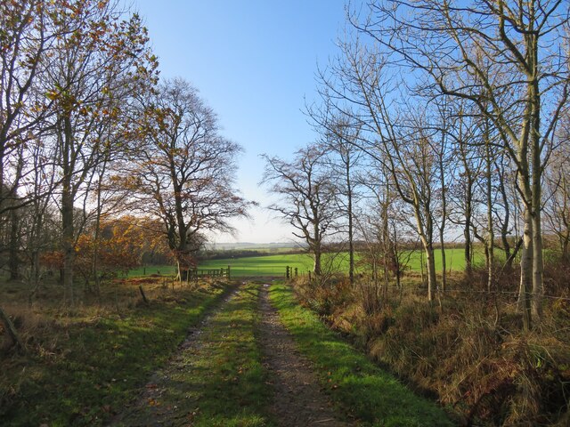
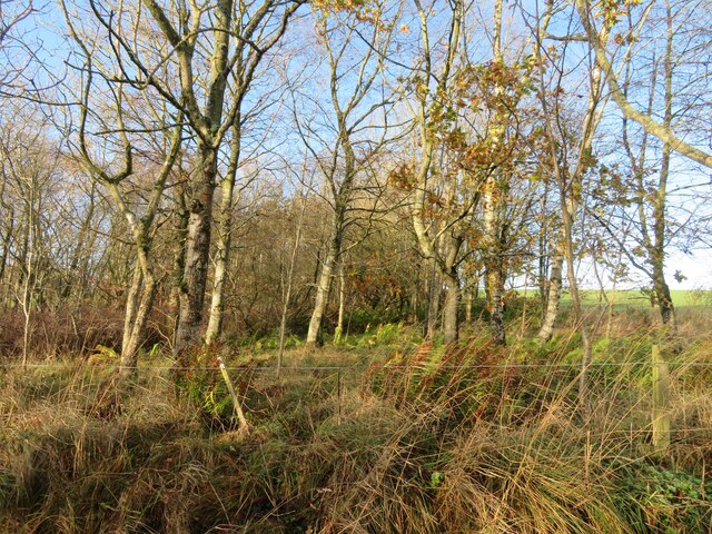
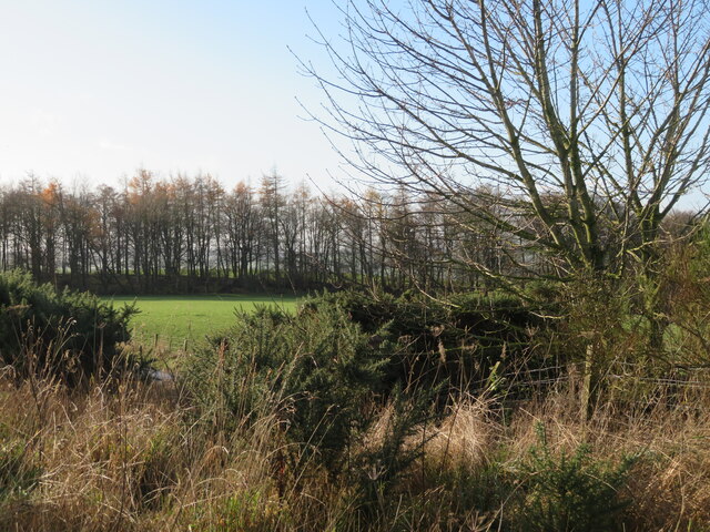
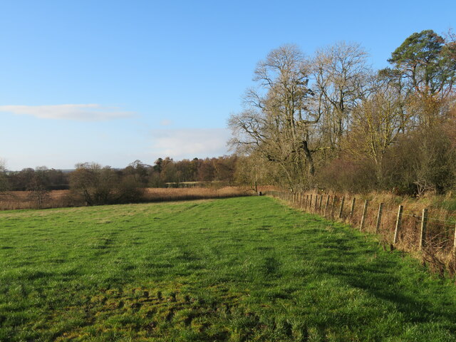
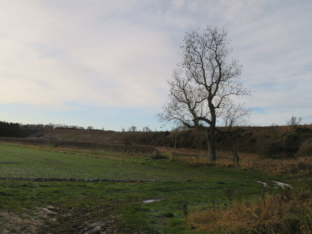
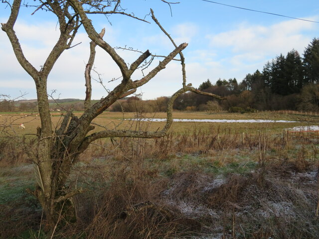
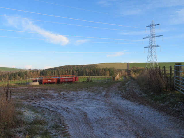
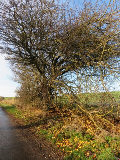
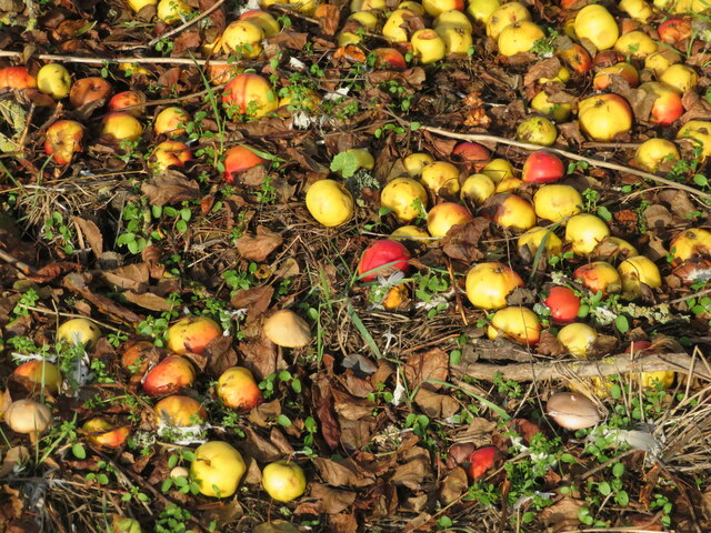
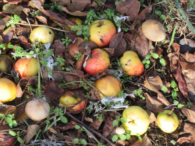
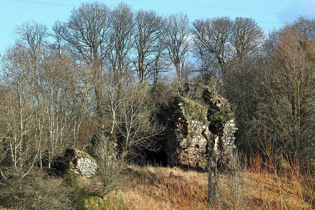
Polton Wood is a charming forest located in Berwickshire, Scotland. Covering an area of approximately 50 hectares, this woodland is a popular destination for nature lovers and outdoor enthusiasts. The forest is predominantly made up of native species such as oak, ash, and birch trees, creating a diverse and vibrant ecosystem.

Visitors to Polton Wood can enjoy a leisurely stroll along the well-maintained trails that wind through the forest, offering picturesque views of the surrounding countryside. The peaceful atmosphere of the woodland provides a tranquil escape from the hustle and bustle of everyday life, making it a perfect spot for a relaxing walk or picnic.

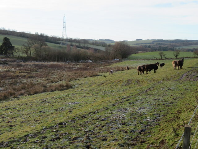
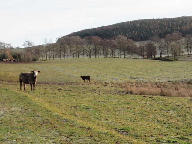
Polton Wood is also home to a variety of wildlife, including birds, squirrels, and deer, making it a great place for birdwatching and nature photography. The forest is managed by local authorities to ensure the preservation of its natural beauty and biodiversity for future generations to enjoy.

Overall, Polton Wood is a delightful destination for anyone seeking a peaceful and scenic outdoor experience in the heart of the Scottish countryside.

If you have any feedback on the listing, please let us know in the comments section below.
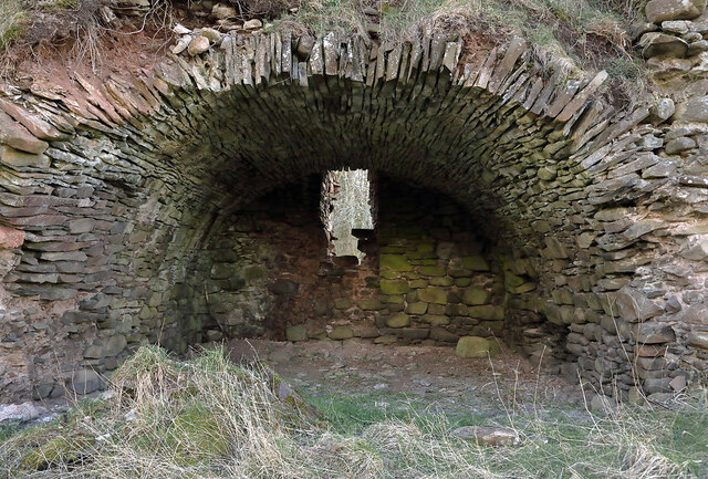
Polton Wood Images

Images are sourced within 2km of 55.686771/-2.6862821 or Grid Reference NT5643. Thanks to Geograph Open Source API. All images are credited.

Field access near Boon Through a shelter belt from the track between Boon and Legerwood. See two earlier images from the same location - <a href="https://www.geograph.org.uk/photo/526605">NT5744 : Barley field</a> from 2007, <a href="https://www.geograph.org.uk/photo/2848537">NT5744 : Field access track</a> from 2012.
Field access near Boon
Through a shelter belt from the track between Boon and Legerwood. See two earlier images from the same location - NT5744 : Barley field from 2007, NT5744 : Field access track from 2012.
Shelter belt near Boon A deciduous woodland strip between track and field between Boon and Legerwood.
Shelter belt near Boon
A deciduous woodland strip between track and field between Boon and Legerwood.
National Grid gas installation Boon 4937 - presumably the ID. I was struck by the spelling of 'unodourised'; it did not look right, although odour is the normal British spelling. <span class="nowrap"><a title="https://www.gasodorizer.com/what-is-natural-gas-odorization/" rel="nofollow ugc noopener" href="https://www.gasodorizer.com/what-is-natural-gas-odorization/">Link</a><img style="margin-left:2px;" alt="External link" title="External link - shift click to open in new window" src="https://s1.geograph.org.uk/img/external.png" width="10" height="10"/></span>
National Grid gas installation
Boon 4937 - presumably the ID. I was struck by the spelling of 'unodourised'; it did not look right, although odour is the normal British spelling. LinkExternal link
National Grid gas installation Gas pipes at the installation on the country road between Dods and Legerwood.
National Grid gas installation
Gas pipes at the installation on the country road between Dods and Legerwood.
Field and shelterbelt near Boon On the road from Dods to Legerwood.
Field and shelterbelt near Boon
On the road from Dods to Legerwood.
Pasture near Legerwood Looking west from just north of Legerwood.
Pasture near Legerwood
Looking west from just north of Legerwood.
Field and embankment near Whitslaid With an Ash tree that so far has avoided the dieback.
Field and embankment near Whitslaid
With an Ash tree that so far has avoided the dieback.
Sheep pasture in Lauderdale With a contorted Hawthorn. The Leader Water is running alongside the trees on the right. The remains of the first snow of the year, which fell the day before, are in the depression.
Sheep pasture in Lauderdale
With a contorted Hawthorn. The Leader Water is running alongside the trees on the right. The remains of the first snow of the year, which fell the day before, are in the depression.
Field entrance and storage area, near Birkhill With pylon and transmission line.
Field entrance and storage area, near Birkhill
With pylon and transmission line.
Cattle pasture in Lauderdale The trees mark the course of the Legerwood Burn, a tributary of the Leader Water.
Cattle pasture in Lauderdale
The trees mark the course of the Legerwood Burn, a tributary of the Leader Water.
Cattle pasture near Legerwood Looking across to the tree-lined Legerwood Burn, with a coniferous plantation on Legerwood Hill beyond.
Cattle pasture near Legerwood
Looking across to the tree-lined Legerwood Burn, with a coniferous plantation on Legerwood Hill beyond.
A venerable Crab Apple near Legerwood The mass of windfalls was providing a good feast for some Fieldfares. For a close-up see <a href="https://www.geograph.org.uk/photo/7359166">NT5742 : Crab Apple windfalls</a>. They were just a little too tart to be worth collecting. The tree looks much the same as it did when Walter Baxter recorded it 16 years earlier <a href="https://www.geograph.org.uk/photo/259973">NT5742 : Crab apple tree by the Legerwood road</a>.
A venerable Crab Apple near Legerwood
The mass of windfalls was providing a good feast for some Fieldfares. For a close-up see NT5742 : Crab Apple windfalls. They were just a little too tart to be worth collecting. The tree looks much the same as it did when Walter Baxter recorded it 16 years earlier NT5742 : Crab apple tree by the Legerwood road.
Crab Apple windfalls Abundant fruit from an old tree on the road to Legerwood <a href="https://www.geograph.org.uk/photo/7359161">NT5742 : A venerable Crab Apple near Legerwood</a>. And three toadstools.
Crab Apple windfalls
Abundant fruit from an old tree on the road to Legerwood NT5742 : A venerable Crab Apple near Legerwood. And three toadstools.
Roadside harvest A closer view of some of the Crab Apples, and two of the toadstools, in <a href="https://www.geograph.org.uk/photo/7359166">NT5742 : Crab Apple windfalls</a>. I think they are species of Conocybe, which are fragile, with brown caps and spores.
Roadside harvest
A closer view of some of the Crab Apples, and two of the toadstools, in NT5742 : Crab Apple windfalls. I think they are species of Conocybe, which are fragile, with brown caps and spores.
Legerwood crossroads Extensive farm buildings of Legerwood farm.
Legerwood crossroads
Extensive farm buildings of Legerwood farm.
The phone box at Legerwood The phone has gone and the box now houses a defibrillator.
The phone box at Legerwood
The phone has gone and the box now houses a defibrillator.
Whitslaid Tower These are the ruins of a late 15th century or early 16th century tower house of the Lauder family. The north end of the tower has collapsed but part of the south end survives.
Whitslaid Tower
These are the ruins of a late 15th century or early 16th century tower house of the Lauder family. The north end of the tower has collapsed but part of the south end survives.
A barrel-vaulted chamber at Whitslaid Tower This is at the south end of a late 15th century or early 16th century ruined tower house of the Lauder family.
A barrel-vaulted chamber at Whitslaid Tower
This is at the south end of a late 15th century or early 16th century ruined tower house of the Lauder family.
Show me another place!

Polton Wood is located at Grid Ref: NT5643 (Lat: 55.686771, Lng: -2.6862821)

Unitary Authority: The Scottish Borders

Police Authority: The Lothians and Scottish Borders

What 3 Words

///flight.threaded.casual. Near Lauder, Scottish Borders

Related Wikis

Legerwood

Legerwood is a village by the Eden Water, in the Scottish Borders area of Scotland, near Lauder, near the Southern Upland Way. Legerwood Kirk is outside...

Whitslaid Tower

Whitslaid Tower was an ancient Berwickshire seat of the Lauder family for over 300 years. It is today a ruin high above the eastern bank of the Leader...

Boon Farm

Boon is a farm and former barony located near Lauder, Scotland. == History == === Name origins === Boon (aka "Boune" or "Bounn"), derives from the Breton...

Birkenside, Scottish Borders

Birkenside is a village in the Scottish Borders, Scotland.

Have you been to Polton Wood?

Leave your review of Polton Wood below (or comments, questions and feedback).