Gala Dean
Valley in Berwickshire
Scotland
Gala Dean
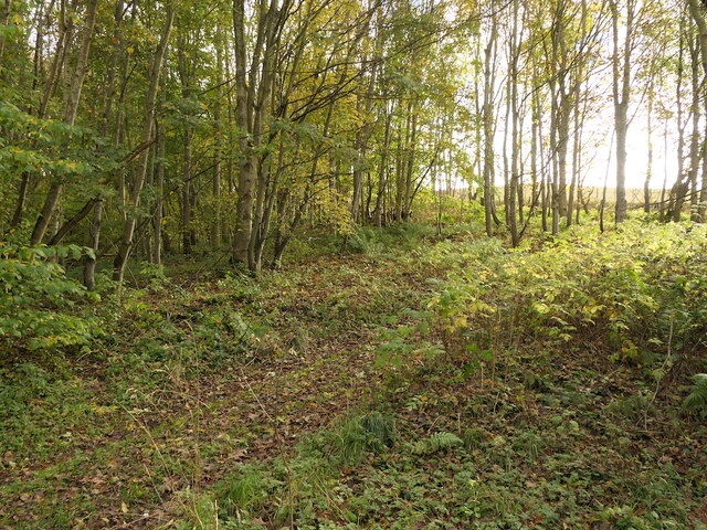
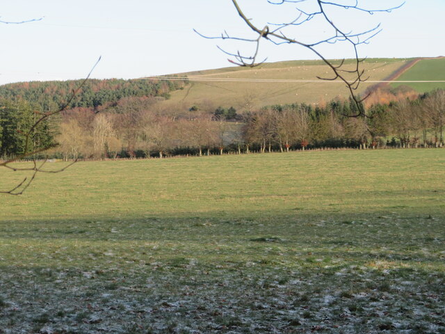
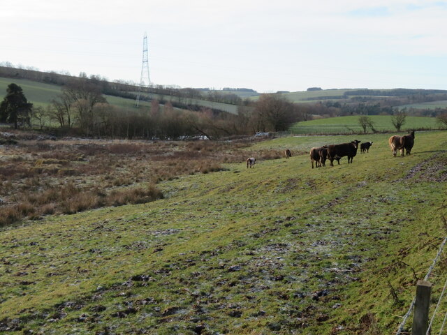
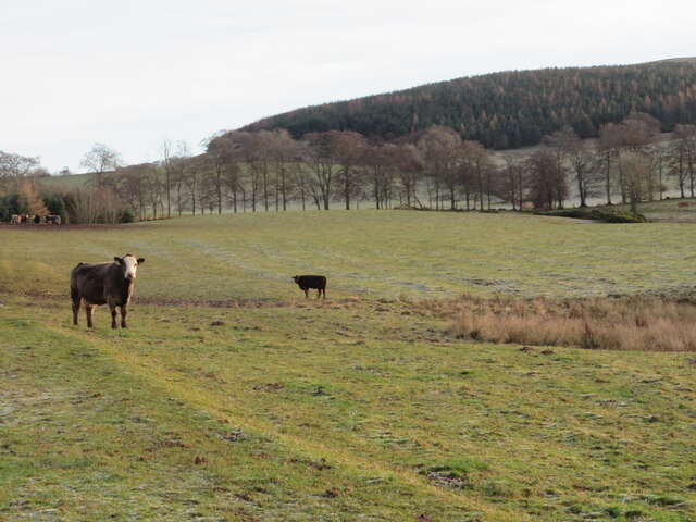
Gala Dean, located in the county of Berwickshire, Scotland, is a picturesque valley renowned for its natural beauty and historical significance. Situated in the eastern part of the Scottish Borders region, Gala Dean is characterized by rolling hills, lush green meadows, and the winding course of the Gala Water river.
The valley is named after the river that runs through it, and the name "Gala" is derived from the Gaelic word "gal," meaning "rapid." The river, known for its fast-flowing currents and cascades, adds to the visual charm of the area.
Gala Dean is rich in history, with evidence of human habitation dating back to prehistoric times. The valley is home to several archaeological sites, including the remains of ancient settlements and hillforts. In more recent history, the area played a significant role in the development of the textile industry during the Industrial Revolution, with numerous mills and factories dotting the landscape.
Today, Gala Dean is a popular destination for outdoor enthusiasts and nature lovers. The valley offers a variety of recreational activities, including hiking, cycling, and fishing. The surrounding hills provide stunning panoramic views of the valley, making it an ideal spot for photographers and nature enthusiasts.
The charming town of Galashiels, situated at the heart of Gala Dean, offers visitors a range of amenities and attractions, including shops, restaurants, and historical landmarks. The town's annual Common Riding festival, held in June, is a highlight for locals and tourists alike, showcasing the region's rich cultural heritage.
In conclusion, Gala Dean is a captivating valley in Berwickshire, Scotland, with its natural beauty, historical significance, and range of recreational activities making it a must-visit destination for those seeking a taste of Scotland's countryside.
If you have any feedback on the listing, please let us know in the comments section below.
Gala Dean Images
Images are sourced within 2km of 55.679987/-2.6990285 or Grid Reference NT5643. Thanks to Geograph Open Source API. All images are credited.
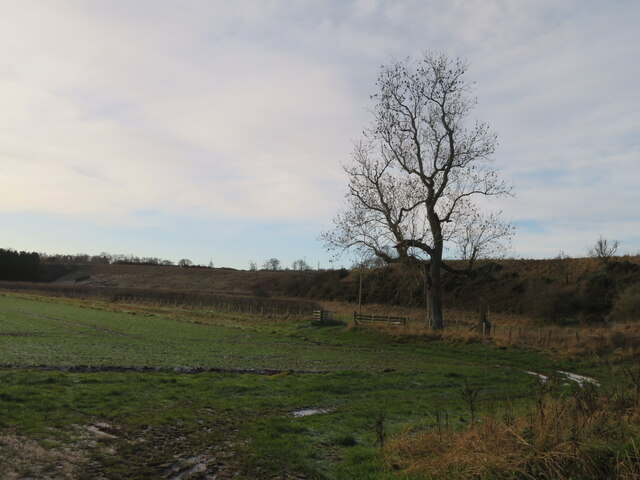
![Track across Legerwood Hill Heading 4km southeast from Birkenside to the Gordon-Earlston road [A6109]. A lot of timber cutting has been carried out, with piles of cut timber, waiting to be taken away, and huge piles of the rest of the woodland heaped up along the side of the track, the like of which I have not encountered before.](https://s1.geograph.org.uk/geophotos/07/35/87/7358745_81d332c2.jpg)
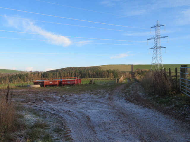
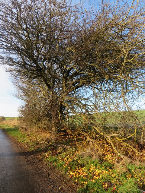
![Road to Birkenside
Heading 4km northwest from the Gordon-Earlston road [A6109] to Birkenside. Un-metalled here, but metalled at the southern end.](https://s0.geograph.org.uk/geophotos/07/35/87/7358764_3c3bbf43.jpg)


Gala Dean is located at Grid Ref: NT5643 (Lat: 55.679987, Lng: -2.6990285)
Unitary Authority: The Scottish Borders
Police Authority: The Lothians and Scottish Borders
What 3 Words
///shark.skewing.couch. Near Earlston, Scottish Borders
Nearby Locations
Related Wikis

Birkenside, Scottish Borders
Birkenside is a village in the Scottish Borders, Scotland.

Whitslaid Tower
Whitslaid Tower was an ancient Berwickshire seat of the Lauder family for over 300 years. It is today a ruin high above the eastern bank of the Leader...

Legerwood
Legerwood is a village by the Eden Water, in the Scottish Borders area of Scotland, near Lauder, near the Southern Upland Way. Legerwood Kirk is outside...

Boon Farm
Boon is a farm and former barony located near Lauder, Scotland. == History == === Name origins === Boon (aka "Boune" or "Bounn"), derives from the Breton...

Legerwood Kirk
Legerwood Kirk is an ancient and historic Church of Scotland church in the former county of Berwickshire, Scotland. It is situated half a mile east of...

Carolside, Scottish Borders
Carolside is an estate by the Leader Water, in the Scottish Borders. It is located one mile (1.6 km) north of Earlston, in the former county of Berwickshire...

Corsbie Castle
Corsbie Castle is a ruined 16th-century tower house, about 2.5 miles (4.0 km) west of Gordon, Scottish Borders, Scotland, and north of the Eden Water....

A6105 road
The A6105 road is an A road in the Scottish Borders, Scotland and Northumberland, England. It runs from the village of Earlston to Berwick on Tweed going...
Nearby Amenities
Located within 500m of 55.679987,-2.6990285Have you been to Gala Dean?
Leave your review of Gala Dean below (or comments, questions and feedback).