Galadean
Settlement in Berwickshire
Scotland
Galadean
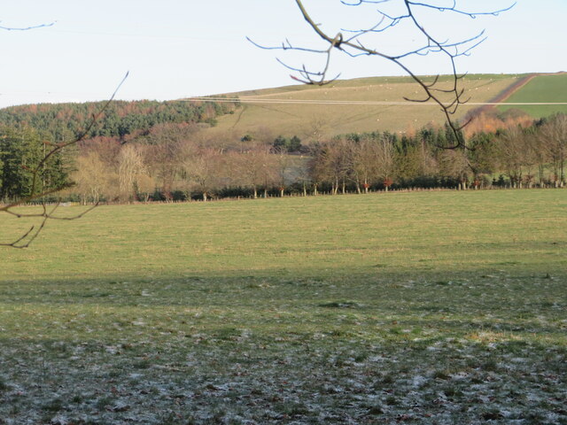
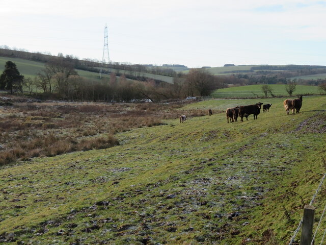
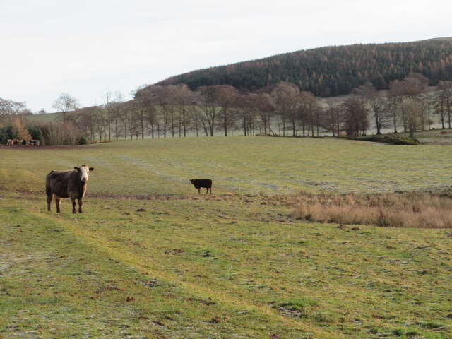
Galadean is a small village located in the county of Berwickshire, in the Scottish Borders region of Scotland. Situated about 2 miles southeast of the town of Duns, Galadean is surrounded by picturesque countryside with rolling hills and scenic landscapes.
The village itself is comprised of a cluster of traditional stone houses and cottages, giving it a quaint and charming atmosphere. With a population of around 150 residents, Galadean maintains a close-knit community feel, where neighbors often know each other by name.
Despite its small size, Galadean offers a range of amenities to its residents. These include a local primary school, a village hall, and a community center. The village also boasts a public park, providing a space for recreational activities and outdoor gatherings.
Galadean is ideally located for those who enjoy outdoor pursuits, with numerous walking and cycling routes in the surrounding area. The nearby Duns Castle Nature Reserve offers opportunities for birdwatching and wildlife spotting, while the picturesque River Whiteadder provides a tranquil setting for fishing enthusiasts.
In terms of transportation, Galadean is easily accessible by road, with the A6105 passing nearby, connecting the village to the wider region. The town of Duns, just a short drive away, provides further amenities and services, including shops, supermarkets, and healthcare facilities.
Overall, Galadean offers a peaceful and idyllic lifestyle, perfect for those seeking a rural retreat in the beautiful Scottish countryside.
If you have any feedback on the listing, please let us know in the comments section below.
Galadean Images
Images are sourced within 2km of 55.678483/-2.7012439 or Grid Reference NT5643. Thanks to Geograph Open Source API. All images are credited.
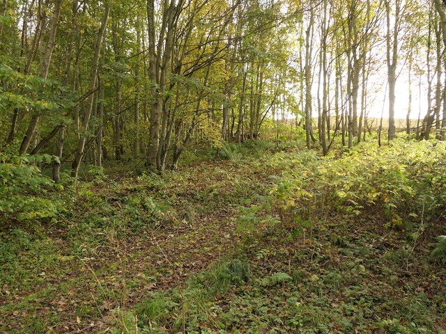
![Track across Legerwood Hill Heading 4km southeast from Birkenside to the Gordon-Earlston road [A6109]. A lot of timber cutting has been carried out, with piles of cut timber, waiting to be taken away, and huge piles of the rest of the woodland heaped up along the side of the track, the like of which I have not encountered before.](https://s1.geograph.org.uk/geophotos/07/35/87/7358745_81d332c2.jpg)
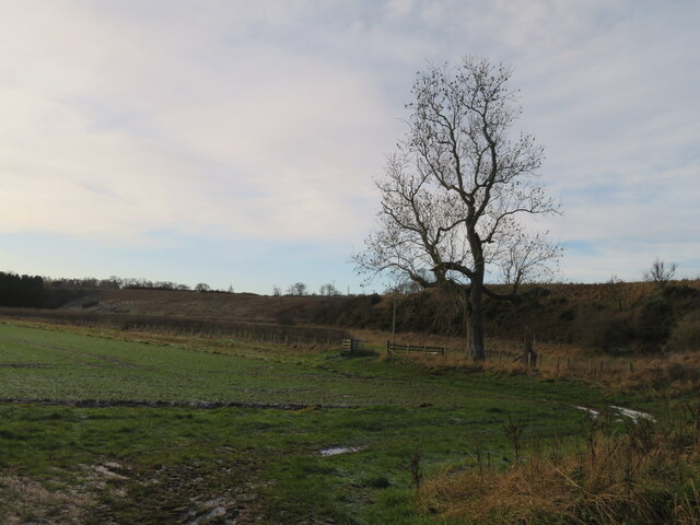
![Road to Birkenside
Heading 4km northwest from the Gordon-Earlston road [A6109] to Birkenside. Un-metalled here, but metalled at the southern end.](https://s0.geograph.org.uk/geophotos/07/35/87/7358764_3c3bbf43.jpg)


Galadean is located at Grid Ref: NT5643 (Lat: 55.678483, Lng: -2.7012439)
Unitary Authority: The Scottish Borders
Police Authority: The Lothians and Scottish Borders
What 3 Words
///dust.video.essays. Near Earlston, Scottish Borders
Nearby Locations
Related Wikis

Birkenside, Scottish Borders
Birkenside is a village in the Scottish Borders, Scotland.

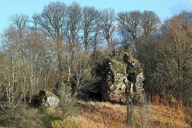
Whitslaid Tower
Whitslaid Tower was an ancient Berwickshire seat of the Lauder family for over 300 years. It is today a ruin high above the eastern bank of the Leader...

Legerwood
Legerwood is a village by the Eden Water, in the Scottish Borders area of Scotland, near Lauder, near the Southern Upland Way. Legerwood Kirk is outside...

Boon Farm
Boon is a farm and former barony located near Lauder, Scotland. == History == === Name origins === Boon (aka "Boune" or "Bounn"), derives from the Breton...

Carolside, Scottish Borders
Carolside is an estate by the Leader Water, in the Scottish Borders. It is located one mile (1.6 km) north of Earlston, in the former county of Berwickshire...

Legerwood Kirk
Legerwood Kirk is an ancient and historic Church of Scotland church in the former county of Berwickshire, Scotland. It is situated half a mile east of...

A6105 road
The A6105 road is an A road in the Scottish Borders, Scotland and Northumberland, England. It runs from the village of Earlston to Berwick on Tweed going...
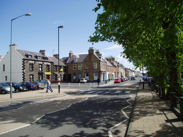
Earlston
Earlston (Scots: Yerlston; Scottish Gaelic: Dùn Airchill) is a civil parish and market town in the county of Berwickshire, within the Scottish Borders...
Nearby Amenities
Located within 500m of 55.678483,-2.7012439Have you been to Galadean?
Leave your review of Galadean below (or comments, questions and feedback).