Lodge Wood

Wood, Forest in Aberdeenshire

Scotland

Lodge Wood

Wester Leys Farm entrance
Wester Leys Farm entrance Credit: Ralph Greig

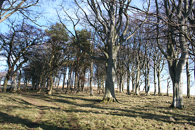
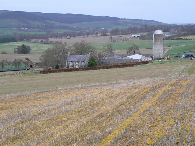
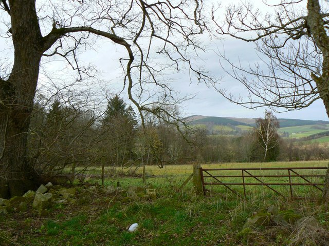
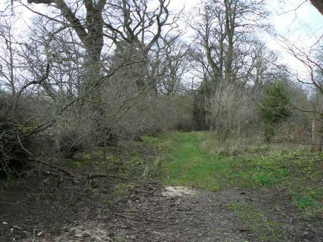
Lodge Wood is a picturesque forest located in Aberdeenshire, Scotland. Covering an area of approximately 100 acres, the wood is a popular destination for nature lovers and outdoor enthusiasts. The forest is home to a diverse range of flora and fauna, including native species such as oak, birch, and pine trees, as well as a variety of wildlife such as red squirrels, deer, and birds.

Visitors to Lodge Wood can enjoy a network of well-maintained walking trails that wind their way through the forest, providing opportunities to explore and appreciate the natural beauty of the surroundings. The wood also features picnic areas and benches, making it an ideal spot for a relaxing day out with family and friends.

Lodge Wood is managed by the local forestry commission, ensuring that the forest remains a well-preserved and protected natural habitat for both plants and animals. The wood is easily accessible by car or public transportation, with ample parking available for visitors. Whether you're looking for a peaceful stroll through the trees or a quiet spot to enjoy a picnic, Lodge Wood offers a tranquil escape from the hustle and bustle of everyday life.

If you have any feedback on the listing, please let us know in the comments section below.
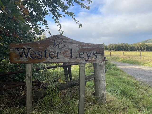
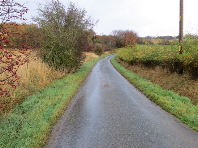
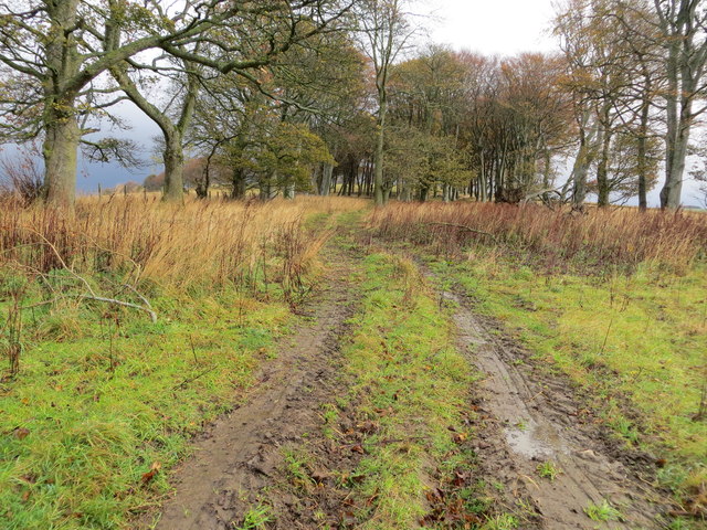
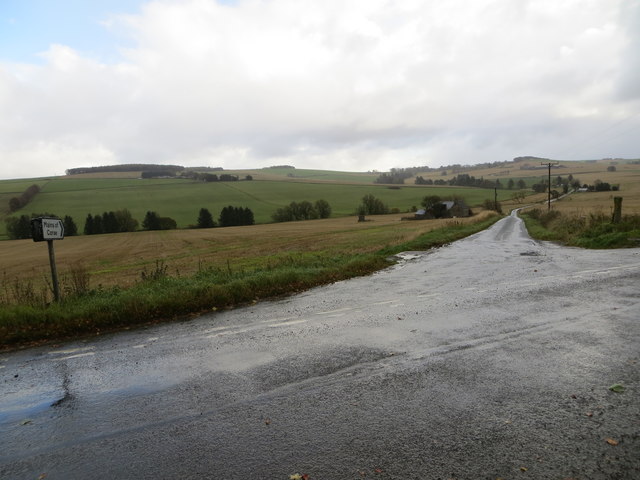
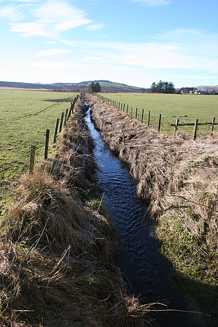
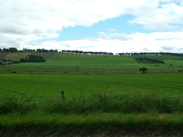
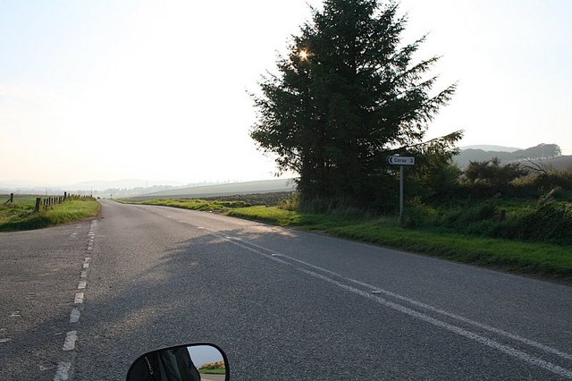
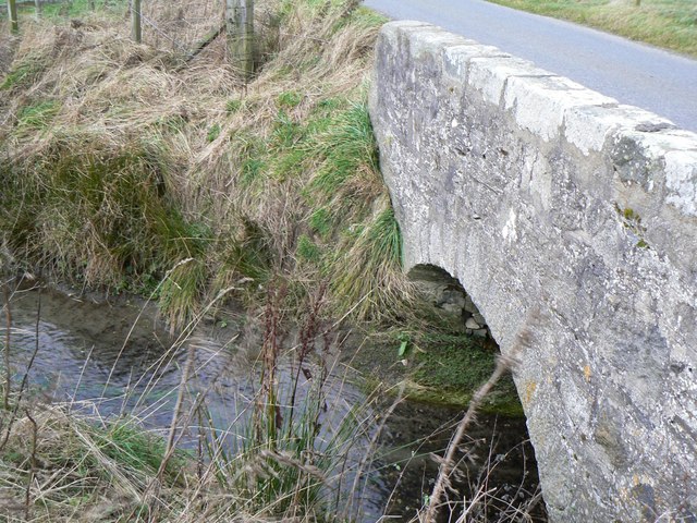
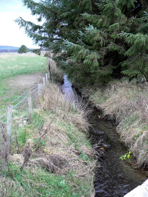
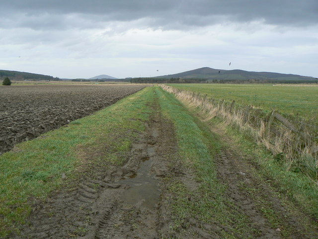
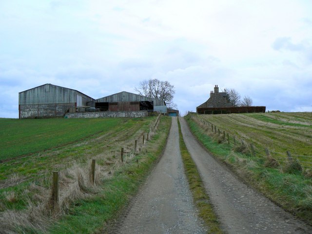
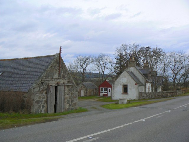
Lodge Wood Images

Images are sourced within 2km of 57.461725/-2.7196488 or Grid Reference NJ5641. Thanks to Geograph Open Source API. All images are credited.

Wester Leys Farm entrance
Minor road approaching Loangarry Looking south-eastward.
Minor road approaching Loangarry
Looking south-eastward.
Tree-lined track to Newtongarry Hill Looking north-eastward.
Tree-lined track to Newtongarry Hill
Looking north-eastward.
Ordnance Survey Flush Bracket 11223 This bracket can be found on the wall of a house - private dwelling - near Knightland Moss. The benchmark height is recorded as being 112.717 metres above sea level.
For more detail see : <span class="nowrap"><a title="https://www.bench-marks.org.uk/bm22140" rel="nofollow ugc noopener" href="https://www.bench-marks.org.uk/bm22140">Link</a><img style="margin-left:2px;" alt="External link" title="External link - shift click to open in new window" src="https://s1.geograph.org.uk/img/external.png" width="10" height="10"/></span>
Ordnance Survey Flush Bracket 11223
This bracket can be found on the wall of a house - private dwelling - near Knightland Moss. The benchmark height is recorded as being 112.717 metres above sea level. For more detail see : LinkExternal link
Junction of roads at Meikleton Looking south-eastward towards Mains of Corse.
Junction of roads at Meikleton
Looking south-eastward towards Mains of Corse.
Knightland Burn Looking upstream from Bridge of Waterton. The farm on extreme right is Nether Brunstane.
Knightland Burn
Looking upstream from Bridge of Waterton. The farm on extreme right is Nether Brunstane.
Shelter Belt I am assuming that this strip of trees was intended as a shelter belt, though they are a bit sparse.
Shelter Belt
I am assuming that this strip of trees was intended as a shelter belt, though they are a bit sparse.
Looking South East from Hillockhead
Corse is off to the left along the A97.
Knightland Burn Stone bridge carrying side-road across the Knightland Burn.
Knightland Burn
Stone bridge carrying side-road across the Knightland Burn.
Knightland Burn Flowing alongside trees near Waterton.
Knightland Burn
Flowing alongside trees near Waterton.
Track across field Twixt furrows and grass.
Track across field
Twixt furrows and grass.
Gerrieswells Farm Farm beside Newtongarry Hill.
Gerrieswells Farm
Farm beside Newtongarry Hill.
North of Baron's Gate Woodland to the north of the track between Meikleton and Home Farm.
North of Baron's Gate
Woodland to the north of the track between Meikleton and Home Farm.
West of Lessendrum Track through woodland, leading west to Home Farm.
West of Lessendrum
Track through woodland, leading west to Home Farm.
Round Tower Standing prominently on a hill to the west of Meikleton Farm, this tower is marked on O.S. maps as a Doocot, but is of rather an unusual design.
Round Tower
Standing prominently on a hill to the west of Meikleton Farm, this tower is marked on O.S. maps as a Doocot, but is of rather an unusual design.
Cruchie Farm Well-maintained road leading to the farm.
Cruchie Farm
Well-maintained road leading to the farm.
Easter Leys farm Situated alongside the A97 road.
Easter Leys farm
Situated alongside the A97 road.
Show me another place!

Lodge Wood is located at Grid Ref: NJ5641 (Lat: 57.461725, Lng: -2.7196488)

Unitary Authority: Aberdeenshire

Police Authority: North East

What 3 Words

///bravo.meanders.tiptoes. Near Huntly, Aberdeenshire

Related Wikis

Lessendrum

Lessendrum is a ruinous fortified house situated 7.65 kilometres (4.75 mi) to the north of Huntly, Aberdeenshire, Scotland. It is on the Buildings at Risk...

Knichtland Burn

Knichtland Burn is a burn which marks the boundary of the parish of Huntly, Aberdeenshire, Scotland. == References ==

Drumblade

Drumblade is a hamlet in north-western Aberdeenshire, Scotland, which lies 4¾ miles east of the town of Huntly. == Schools == Drumblade Primary School...

Cobairdy Castle

Cobairdy Castle was a 16th-century tower house, about 4 miles (6.4 km) north-east of Huntly, Aberdeenshire, Scotland, west of Burn of Connairdy. It may...

Nearby Amenities

Located within 500m of 57.461725,-2.7196488
Blackblair
Place: isolated_dwelling
Lat/Long: 57.4583996/-2.7225225
The data included in this document is from www.openstreetmap.org. The data is made available under ODbL.

Have you been to Lodge Wood?

Leave your review of Lodge Wood below (or comments, questions and feedback).