Cairns Wood

Wood, Forest in Banffshire

Scotland

Cairns Wood

Looking west from the junction on the minor road near Knauchland
Looking west from the junction on the minor road near Knauchland Credit: Peter Moore

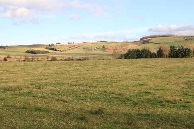
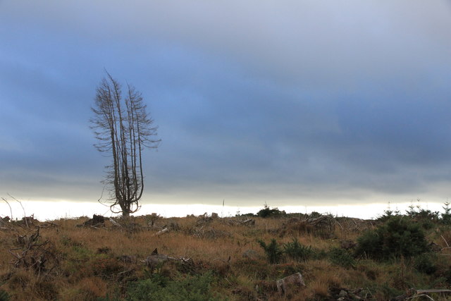
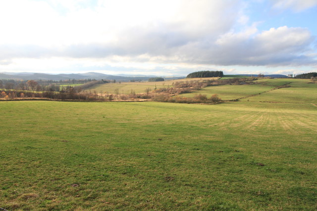
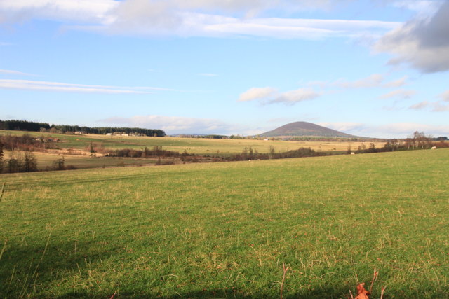
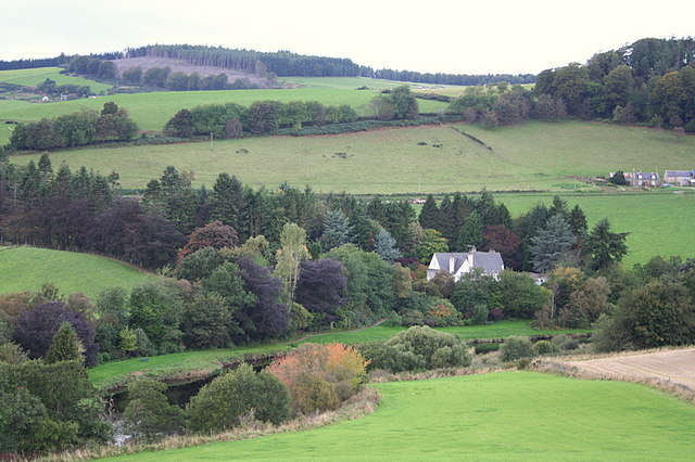
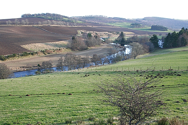
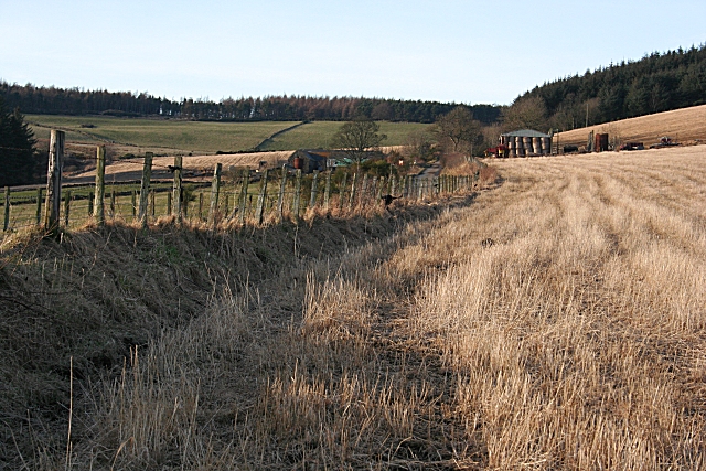
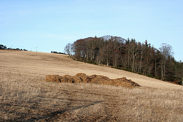
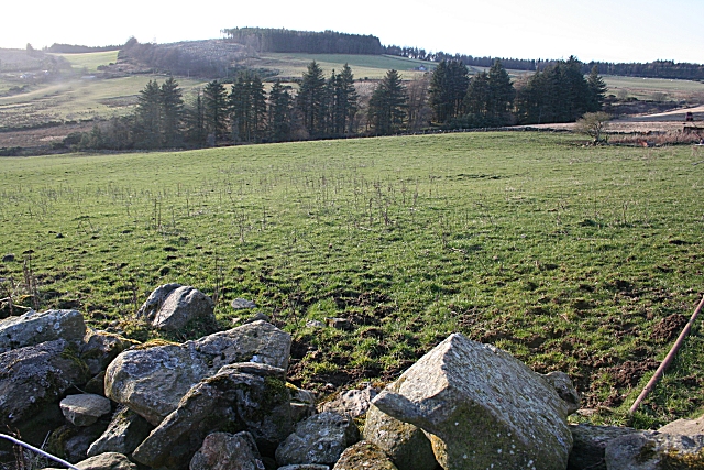
Cairns Wood is a lush forest located in Banffshire, Scotland. Covering an area of approximately 100 acres, this woodland is a popular destination for nature enthusiasts and outdoor enthusiasts alike. The wood is home to a variety of native plant and animal species, making it a haven for wildlife and biodiversity.

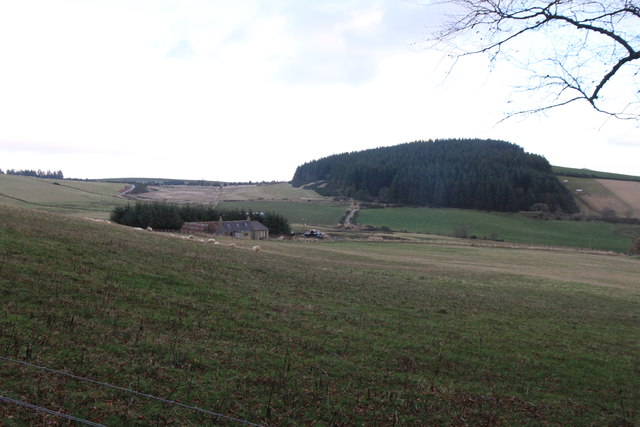
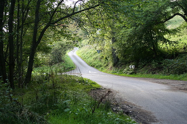
Visitors to Cairns Wood can enjoy a network of well-maintained walking trails that wind through the forest, offering stunning views of the surrounding landscape. The wood is also home to a number of picnic areas, making it an ideal spot for a day out with family and friends.

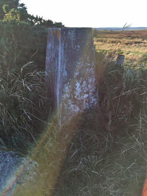
In addition to its natural beauty, Cairns Wood also holds historical significance. The wood is home to a number of ancient cairns, which are burial mounds dating back to the Bronze Age. These cairns provide a fascinating glimpse into the area's past and add to the sense of mystery and wonder that permeates the forest.

Overall, Cairns Wood is a peaceful and picturesque retreat where visitors can immerse themselves in nature and history, making it a must-visit destination for anyone exploring the Banffshire region.

If you have any feedback on the listing, please let us know in the comments section below.
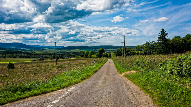
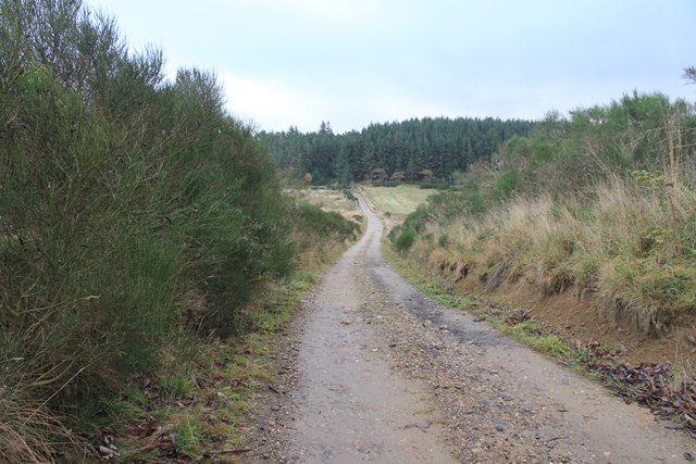
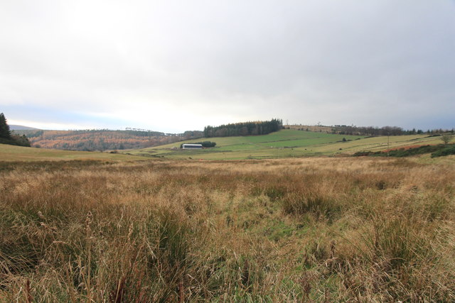
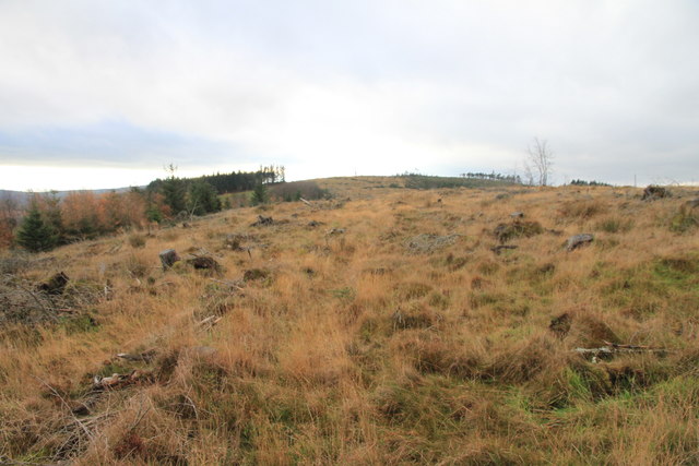
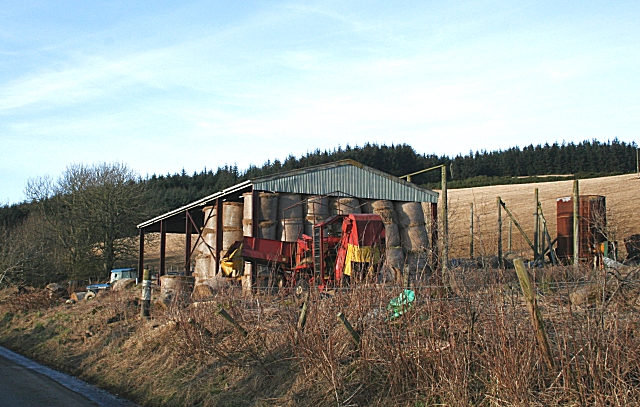
Cairns Wood Images

Images are sourced within 2km of 57.542255/-2.7215032 or Grid Reference NJ5650. Thanks to Geograph Open Source API. All images are credited.

Looking west from the junction on the minor road near Knauchland
Track near Moss-Side of Mayen With forested Catstone Hill beyond.
Track near Moss-Side of Mayen
With forested Catstone Hill beyond.
Cairn of Mayen
Cairn of Mayen
Hill of Retenach Viewed from Hill of Cairns.
Hill of Retenach
Viewed from Hill of Cairns.
View to Retanach From a minor road near Moss-side.
View to Retanach
From a minor road near Moss-side.
Old Crombie Trig Point Flush Bracket S6991
View North West from the Hill of Retenach There was no sign of the Cairns of Keith mentioned on the map.
View North West from the Hill of Retenach
There was no sign of the Cairns of Keith mentioned on the map.
Hill of Retanach The hill has been cleared of useful trees but no sign of the Cairns of Keith mentioned on the OS map.
Hill of Retanach
The hill has been cleared of useful trees but no sign of the Cairns of Keith mentioned on the OS map.
Cairns of Mayen Farm Buildings With the tree covered Catstone Hill beyond.
Cairns of Mayen Farm Buildings
With the tree covered Catstone Hill beyond.
View from a minor road near South Retanach Looking towards Mannoch Hill.
View from a minor road near South Retanach
Looking towards Mannoch Hill.
Looking towards Knock Hill from Inchcorsie
The House of Glennie amid varied autumnal shades.
Turn right for Knauchland.
River Deveron at Glennie Between Rothiemay and Bridge of Marnoch is one of the most scenic stretches of the River Deveron.
River Deveron at Glennie
Between Rothiemay and Bridge of Marnoch is one of the most scenic stretches of the River Deveron.
Tillydown The farm house is partly concealed in the shade to the left of the barn.
Tillydown
The farm house is partly concealed in the shade to the left of the barn.
Field on Catstone Hill A stubble field awaiting fertilisation, ploughing and sowing. Catstone Hill rises to the left.
Field on Catstone Hill
A stubble field awaiting fertilisation, ploughing and sowing. Catstone Hill rises to the left.
Cairns of Mayen from Tillydown More accurately, looking towards Cairns of Mayen, which is partly hidden by the conifers marking the course of the Burn of Tillydown.
Cairns of Mayen from Tillydown
More accurately, looking towards Cairns of Mayen, which is partly hidden by the conifers marking the course of the Burn of Tillydown.
Barn at Tillydown Machinery and hay bales stored at Tillydown. Catstone Hill rises in the background.
Barn at Tillydown
Machinery and hay bales stored at Tillydown. Catstone Hill rises in the background.
Show me another place!

Cairns Wood is located at Grid Ref: NJ5650 (Lat: 57.542255, Lng: -2.7215032)

Unitary Authority: Moray

Police Authority: North East

What 3 Words

///quoted.trim.distanced. Near Aberchirder, Aberdeenshire

Nearby Locations

Cairns Wood Hill of Cairns

Related Wikis

Milltown of Rothiemay

Milltown of Rothiemay (Scottish Gaelic: RĂ th a' Mhuigh) is a small inland village, built mostly of granite, in the north-east of Scotland and is within...
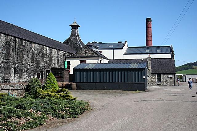
Knockdhu distillery

Knockdhu distillery is a whisky distillery situated in Knock, Banffshire and owned by Inver House Distillers Limited. == History == The distillery was...

Knock railway station (Scotland)

Knock railway station was an intermediate stop situated on the Great North of Scotland Railway (GNoSR) line from Grange and Cairnie Junction to Tillynaught...

Mountains Burn

Mountains Burn is a burn which marks the boundary of the parish of Huntly, Aberdeenshire, Scotland. == References ==

Nearby Amenities

Located within 500m of 57.542255,-2.7215032
Hill of Cairns
Natural: peak
Lat/Long: 57.5427706/-2.7214252
Power: pole
Lat/Long: 57.5459487/-2.7252413
Power: pole
Lat/Long: 57.5459055/-2.7241116
Power: pole
Lat/Long: 57.5460974/-2.7228252
Power: pole
Lat/Long: 57.5462802/-2.7215854
Power: pole
Lat/Long: 57.5458488/-2.7206144
Power: pole
Lat/Long: 57.5454162/-2.7196433
Power: pole
Lat/Long: 57.5453049/-2.718632
Power: pole
Lat/Long: 57.5451812/-2.7176714
Power: pole
Lat/Long: 57.5450563/-2.7166665
Power: pole
Lat/Long: 57.5445045/-2.7158795
Power: pole
Lat/Long: 57.543955/-2.7151094
Power: pole
Lat/Long: 57.5434214/-2.7143668
Power: pole
Lat/Long: 57.5428139/-2.7145001
Power: pole
Lat/Long: 57.5421894/-2.714627
Power: pole
Lat/Long: 57.5415604/-2.7147709
Power: pole
Lat/Long: 57.5409825/-2.7149084
Power: pole
Lat/Long: 57.5404011/-2.715011
Power: pole
Lat/Long: 57.5443115/-2.7172779
The data included in this document is from www.openstreetmap.org. The data is made available under ODbL.

Have you been to Cairns Wood?

Leave your review of Cairns Wood below (or comments, questions and feedback).