Richmond Plantation

Wood, Forest in Aberdeenshire

Scotland

Richmond Plantation

Wester Leys Farm entrance
Wester Leys Farm entrance Credit: Ralph Greig

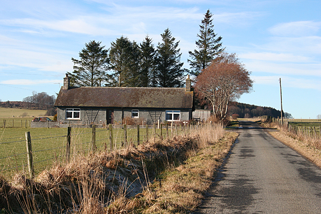
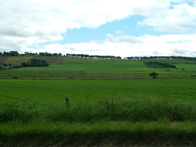
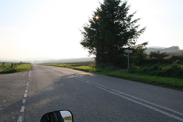
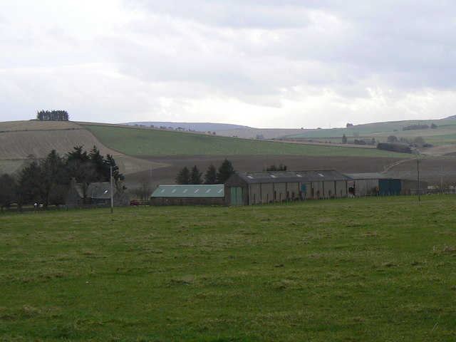
Richmond Plantation is a picturesque wood and forest located in Aberdeenshire, Scotland. Spread over a vast area, it offers a serene and tranquil environment for nature lovers and outdoor enthusiasts.

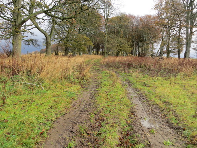
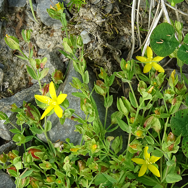
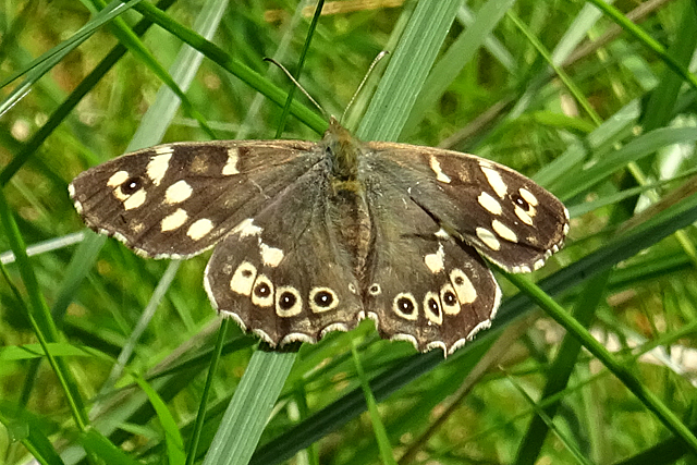
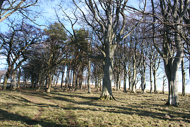
The plantation is known for its diverse range of trees, including oak, birch, pine, and beech, which create a stunning and vibrant landscape throughout the year. The lush greenery and dense foliage provide a habitat for numerous wildlife species, such as red squirrels, roe deer, and various bird species. This makes it a popular destination for birdwatchers and wildlife photographers.

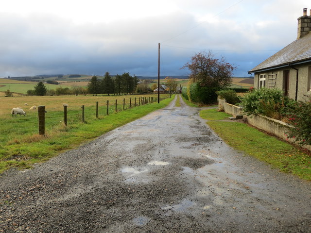
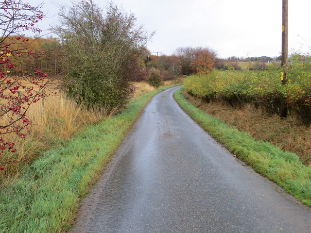
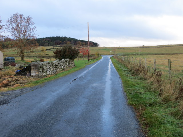
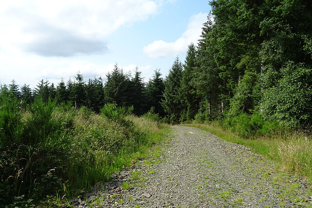
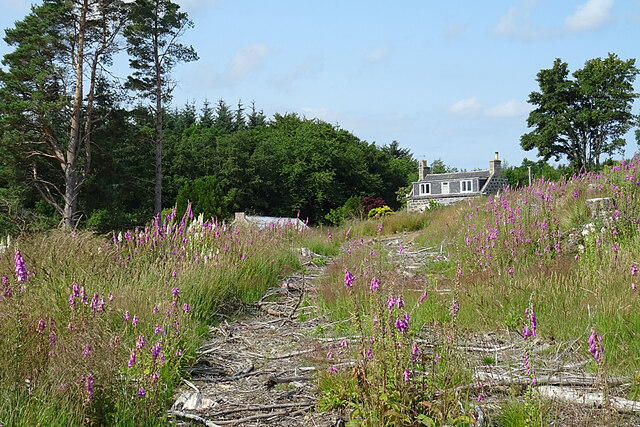
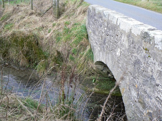
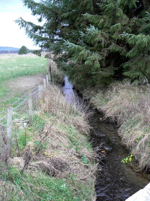
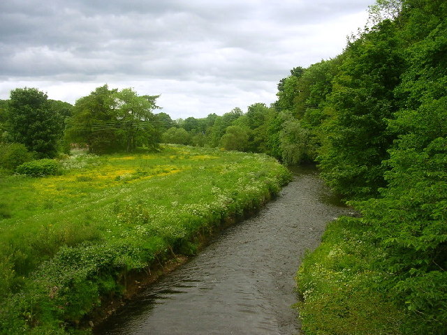
Richmond Plantation offers a network of well-maintained walking trails, allowing visitors to explore its natural beauty at their own pace. These trails offer breathtaking views of the surrounding countryside, with occasional glimpses of the nearby River Don. The paths are suitable for all ages and abilities, making it an ideal location for family outings or leisurely strolls.

In addition to its natural beauty, the plantation also has historical significance. The site was once home to Richmond Castle, a 17th-century fortified house that has now been reduced to ruins. The remnants of the castle add an air of mystery and intrigue to the plantation, attracting history enthusiasts and those interested in archaeology.

Overall, Richmond Plantation in Aberdeenshire is a haven of tranquility, offering a diverse range of flora and fauna, as well as a glimpse into Scotland's rich history. Whether for a leisurely walk, birdwatching, or a historical exploration, this woodland paradise is a must-visit for nature and history enthusiasts alike.

If you have any feedback on the listing, please let us know in the comments section below.

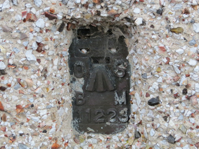
Richmond Plantation Images

Images are sourced within 2km of 57.461351/-2.728559 or Grid Reference NJ5641. Thanks to Geograph Open Source API. All images are credited.

Wester Leys Farm entrance
Track from road leading to Nether Bruntstane Looking southward.
Track from road leading to Nether Bruntstane
Looking southward.
Minor road approaching Loangarry Looking south-eastward.
Minor road approaching Loangarry
Looking south-eastward.
Tree-lined track to Newtongarry Hill Looking north-eastward.
Tree-lined track to Newtongarry Hill
Looking north-eastward.
Ordnance Survey Flush Bracket 11223 This bracket can be found on the wall of a house - private dwelling - near Knightland Moss. The benchmark height is recorded as being 112.717 metres above sea level.
For more detail see : <span class="nowrap"><a title="https://www.bench-marks.org.uk/bm22140" rel="nofollow ugc noopener" href="https://www.bench-marks.org.uk/bm22140">Link</a><img style="margin-left:2px;" alt="External link" title="External link - shift click to open in new window" src="https://s1.geograph.org.uk/img/external.png" width="10" height="10"/></span>
Ordnance Survey Flush Bracket 11223
This bracket can be found on the wall of a house - private dwelling - near Knightland Moss. The benchmark height is recorded as being 112.717 metres above sea level. For more detail see : LinkExternal link
Minor road approaching the A97 at Causewayend Looking north-westward.
Minor road approaching the A97 at Causewayend
Looking north-westward.
Trailing St John's Wort (Hypericum humifusum) This plant is widespread in Britain and Ireland but not common.
Trailing St John's Wort (Hypericum humifusum)
This plant is widespread in Britain and Ireland but not common.
Speckled Wood Butterfly (Pararge aegeria) This butterfly is extending its range eastwards in northern Scotland, but is uncommon in central and southern Scotland although it occurs in most parts of England and Wales.
Speckled Wood Butterfly (Pararge aegeria)
This butterfly is extending its range eastwards in northern Scotland, but is uncommon in central and southern Scotland although it occurs in most parts of England and Wales.
Forest Road This road skirts the edge of the Wood of Kinnoir.
Forest Road
This road skirts the edge of the Wood of Kinnoir.
Old Forest Track The track must have been used when the forest on Brunstane Hill was felled, but is now reverting to nature. The house is at Hillhead of Affleck.
Old Forest Track
The track must have been used when the forest on Brunstane Hill was felled, but is now reverting to nature. The house is at Hillhead of Affleck.
Cottage at Nether Brunstane The cottage stands beside the road in to Nether Brunstane Farm.
Cottage at Nether Brunstane
The cottage stands beside the road in to Nether Brunstane Farm.
Knightland Burn Looking upstream from Bridge of Waterton. The farm on extreme right is Nether Brunstane.
Knightland Burn
Looking upstream from Bridge of Waterton. The farm on extreme right is Nether Brunstane.
Shelter Belt I am assuming that this strip of trees was intended as a shelter belt, though they are a bit sparse.
Shelter Belt
I am assuming that this strip of trees was intended as a shelter belt, though they are a bit sparse.
Looking South East from Hillockhead
Corse is off to the left along the A97.
Nether Bruntstane Farm Looking towards the site of the 1307 battle of Slioch, part of the First War of Scottish Independence.
Nether Bruntstane Farm
Looking towards the site of the 1307 battle of Slioch, part of the First War of Scottish Independence.
Knightland Burn Stone bridge carrying side-road across the Knightland Burn.
Knightland Burn
Stone bridge carrying side-road across the Knightland Burn.
Knightland Burn Flowing alongside trees near Waterton.
Knightland Burn
Flowing alongside trees near Waterton.
Show me another place!

Richmond Plantation is located at Grid Ref: NJ5641 (Lat: 57.461351, Lng: -2.728559)

Unitary Authority: Aberdeenshire

Police Authority: North East

What 3 Words

///hamster.dumpling.doors. Near Huntly, Aberdeenshire

Related Wikis

Knichtland Burn

Knichtland Burn is a burn which marks the boundary of the parish of Huntly, Aberdeenshire, Scotland. == References ==

Lessendrum

Lessendrum is a ruinous fortified house situated 7.65 kilometres (4.75 mi) to the north of Huntly, Aberdeenshire, Scotland. It is on the Buildings at Risk...

River Bogie

The River Bogie (Scottish Gaelic: Balgaidh), also known as the Water of Bogie, is a river in north-west Aberdeenshire in the north east of Scotland. It...

Cobairdy Castle

Cobairdy Castle was a 16th-century tower house, about 4 miles (6.4 km) north-east of Huntly, Aberdeenshire, Scotland, west of Burn of Connairdy. It may...

Nearby Amenities

Located within 500m of 57.461351,-2.728559
Power: pole
Lat/Long: 57.4634829/-2.7355424
Power: pole
Lat/Long: 57.4636685/-2.734225
Power: pole
Lat/Long: 57.463849/-2.7329632
Power: pole
Lat/Long: 57.4640377/-2.7316323
Power: pole
Lat/Long: 57.4642574/-2.7307081
Power: pole
Lat/Long: 57.4644781/-2.7298317
Power: pole
Lat/Long: 57.4650423/-2.7294156
Power: pole
Lat/Long: 57.4656342/-2.7289803
Blackblair
Place: isolated_dwelling
Lat/Long: 57.4583996/-2.7225225
Lower Costlyburn
Place: isolated_dwelling
Lat/Long: 57.4628674/-2.7283856
The data included in this document is from www.openstreetmap.org. The data is made available under ODbL.

Have you been to Richmond Plantation?

Leave your review of Richmond Plantation below (or comments, questions and feedback).