Black Covert
Wood, Forest in Roxburghshire
Scotland
Black Covert
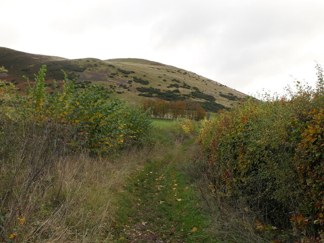
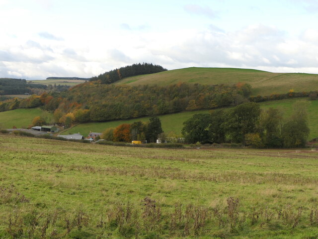
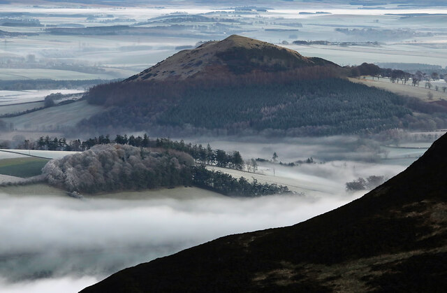
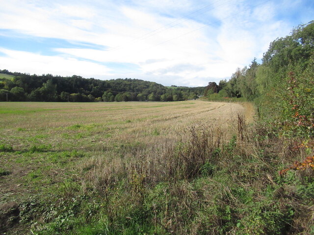
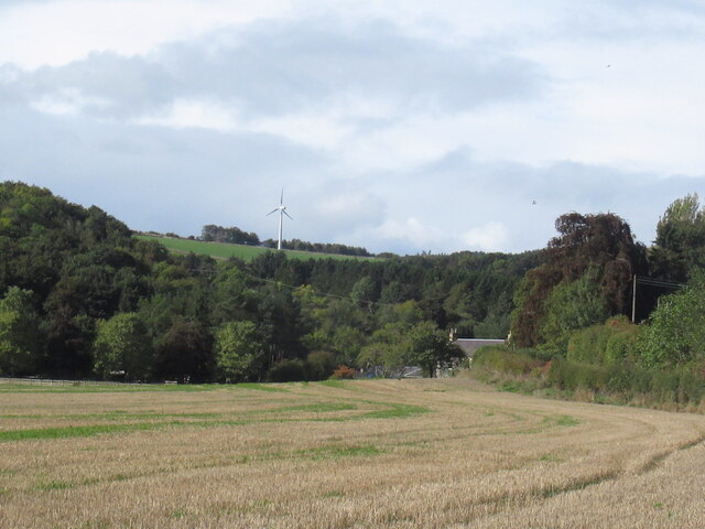
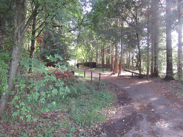
Black Covert is a picturesque woodland area located in Roxburghshire, a historic county in the Scottish Borders region of Scotland. Situated near the village of Hawick, Black Covert is renowned for its stunning natural beauty and abundant wildlife.
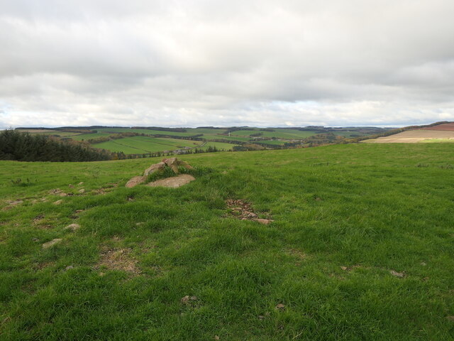
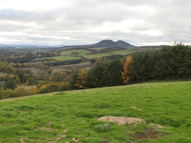
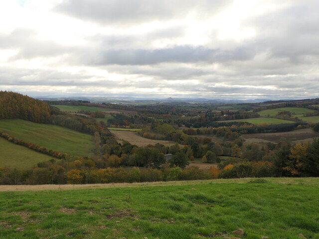
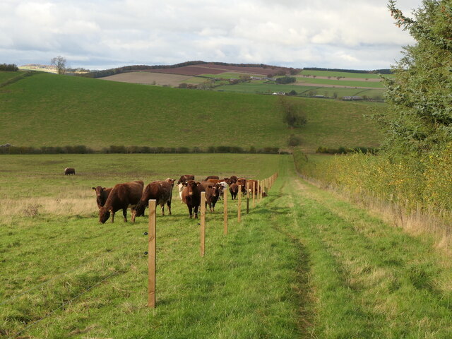
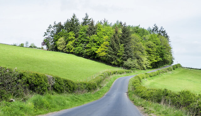
Covering a vast expanse of approximately 200 acres, the woodland is predominantly composed of native broadleaf trees, including oak, ash, and birch. The dense canopy provides a rich habitat for a diverse range of flora and fauna, making it a haven for nature enthusiasts and outdoor adventurers alike.
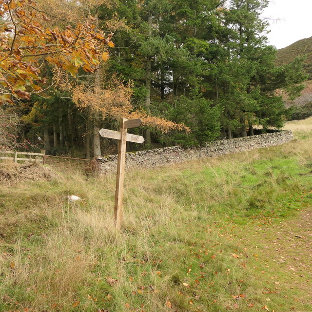
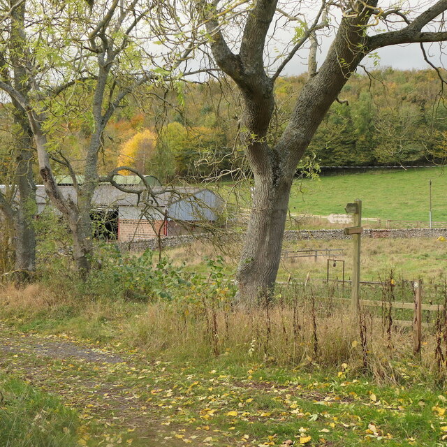
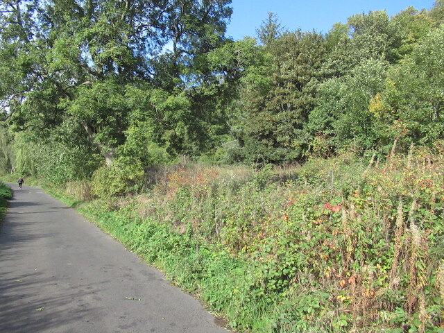
The forest boasts an extensive network of well-maintained walking trails, allowing visitors to explore the area and immerse themselves in the tranquil surroundings. These trails lead to various points of interest, such as scenic viewpoints, hidden waterfalls, and ancient ruins.
The wildlife in Black Covert is particularly notable, with a variety of woodland creatures calling it their home. Red squirrels, roe deer, and numerous bird species, including woodpeckers and owls, can often be spotted while traversing the forest trails.
Black Covert also holds cultural and historical significance, with remnants of ancient settlements and burial sites scattered throughout the woodland. These archaeological remains offer a glimpse into the area's rich past and provide an intriguing backdrop for visitors interested in the region's history.
Overall, Black Covert in Roxburghshire is a captivating destination for those seeking solace in nature, offering a serene and enchanting experience amidst the beauty of the Scottish countryside.
If you have any feedback on the listing, please let us know in the comments section below.
Black Covert Images
Images are sourced within 2km of 55.628203/-2.6897682 or Grid Reference NT5637. Thanks to Geograph Open Source API. All images are credited.

Black Covert is located at Grid Ref: NT5637 (Lat: 55.628203, Lng: -2.6897682)
Unitary Authority: The Scottish Borders
Police Authority: The Lothians and Scottish Borders
What 3 Words
///spouting.wealth.gently. Near Earlston, Scottish Borders
Nearby Locations
Related Wikis

Rhymer's Tower
Rhymer's Tower, also known as Earlston Castle, is located near the village of Earlston, Scottish Borders, Scotland. The castle was the caput baroniae of...

A6105 road
The A6105 road is an A road in the Scottish Borders, Scotland and Northumberland, England. It runs from the village of Earlston to Berwick on Tweed going...

Earlston railway station
Earlston railway station, in the Scottish Borders village of Earlston, was a station on the now disused Berwickshire Railway.There were two platforms...
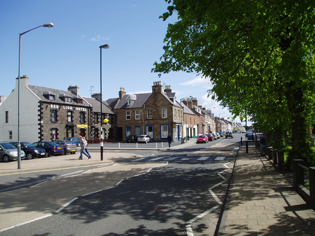
Earlston
Earlston (Scots: Yerlston; Scottish Gaelic: Dùn Airchill) is a civil parish and market town in the county of Berwickshire, within the Scottish Borders...

Earlston High School
Earlston High School is a secondary school in Earlston, Scottish Borders. It serves Earlston, as well as the surrounding area. Since 2009, the school has...

St Andrew's College, Drygrange
St Andrew's College, Drygrange, located near Melrose, Scotland, was a Roman Catholic seminary founded in 1953 and closed in 1986. == History == === Foundation... ===
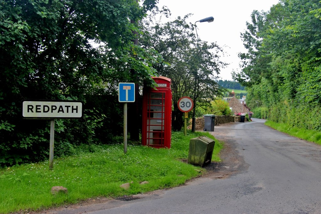
Redpath, Scottish Borders
Redpath (Scots: Rippath) is a small village located between the larger settlements of Earlston, 2 miles (3.2 km) to the north, and St Boswells, 3 miles...

Carolside, Scottish Borders
Carolside is an estate by the Leader Water, in the Scottish Borders. It is located one mile (1.6 km) north of Earlston, in the former county of Berwickshire...
Nearby Amenities
Located within 500m of 55.628203,-2.6897682Have you been to Black Covert?
Leave your review of Black Covert below (or comments, questions and feedback).