Clatteringford Dean

Valley in Roxburghshire

Scotland

Clatteringford Dean

Black Hill and access path Black Hill of Earlston and a popular ascent route by Cowdenknowes Mains.
Black Hill and access path Credit: Richard Webb

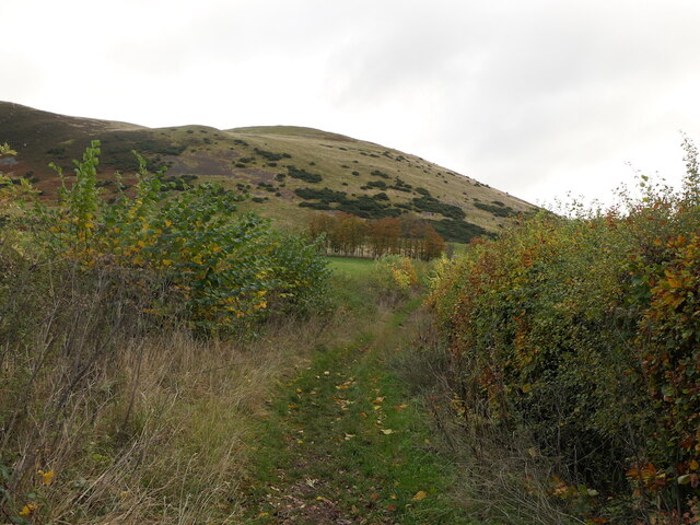
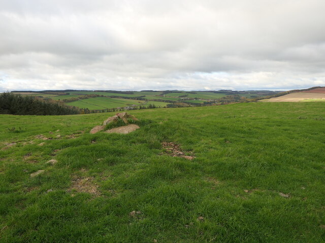
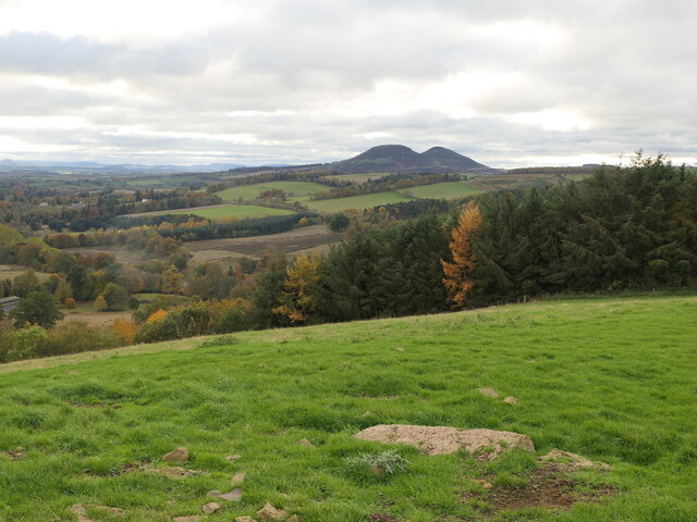
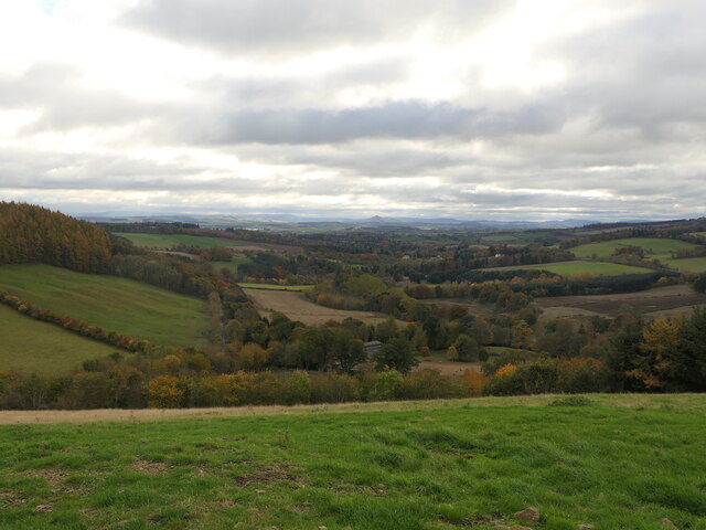
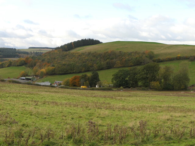
Clatteringford Dean is a picturesque valley located in the region of Roxburghshire, Scotland. Situated amidst the rolling hills and lush greenery, this valley is known for its natural beauty and tranquility.

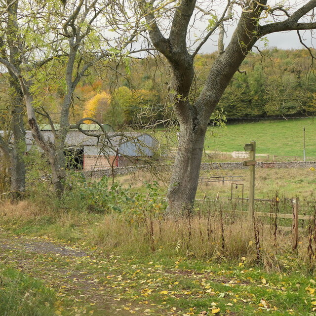
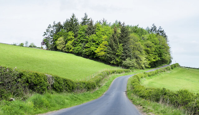
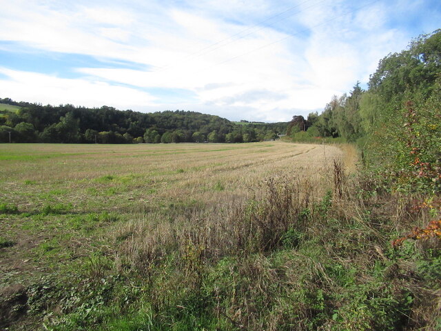
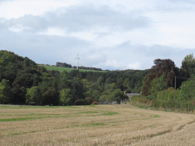
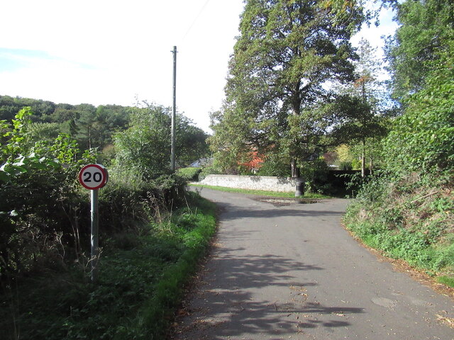
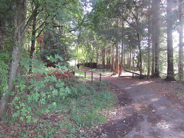
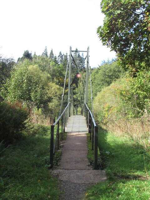
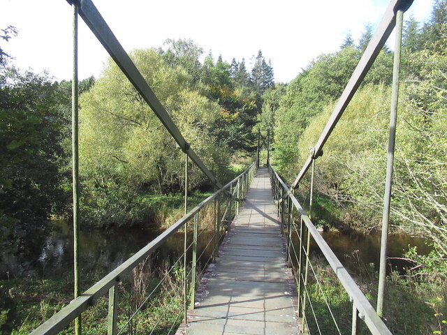
The valley is bordered by towering hills on all sides, creating a sense of seclusion and intimacy. The landscape is dominated by a meandering river that flows through the heart of the valley, adding to its charm. The river is surrounded by dense forests and woodlands, providing a habitat for various species of flora and fauna.

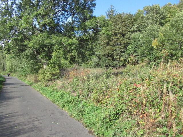
Clatteringford Dean is a haven for nature enthusiasts and outdoor lovers. The valley offers numerous walking and hiking trails, allowing visitors to explore its undulating terrain and discover hidden gems along the way. The abundance of wildlife in the area makes it a popular spot for birdwatching and wildlife spotting.

The valley is also home to several historic sites and landmarks. Ruins of ancient castles and abbeys dot the landscape, reflecting the area's rich history and heritage. The architecture of these structures is a testament to the craftsmanship of bygone eras.

For those seeking tranquility and a break from the bustling city life, Clatteringford Dean offers a serene retreat. The valley's idyllic setting and untouched natural beauty make it an ideal destination for those looking to unwind and reconnect with nature. Whether it's exploring the trails, immersing oneself in the rich history, or simply taking in the breathtaking views, Clatteringford Dean promises an unforgettable experience for visitors.

If you have any feedback on the listing, please let us know in the comments section below.

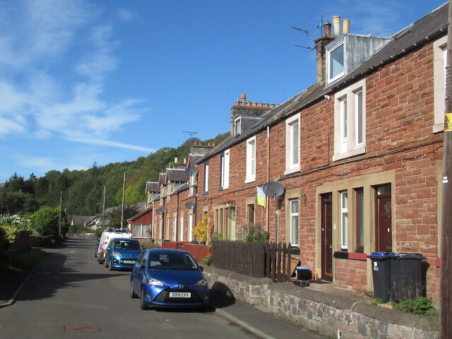
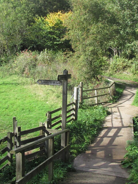
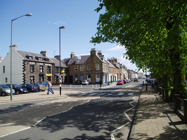
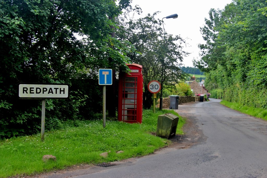
Clatteringford Dean Images

Images are sourced within 2km of 55.633593/-2.6915308 or Grid Reference NT5637. Thanks to Geograph Open Source API. All images are credited.

Black Hill and access path Black Hill of Earlston and a popular ascent route by Cowdenknowes Mains.
Black Hill and access path
Black Hill of Earlston and a popular ascent route by Cowdenknowes Mains.
Summit, White Hill Above Earlston.
Summit, White Hill
Above Earlston.
On White Hill View across Lauderdale towards the Eildon Hills.
On White Hill
View across Lauderdale towards the Eildon Hills.
View down Lauderdale From White Hill.
View down Lauderdale
From White Hill.
White Hill, Earlston Above Cowdenknowes Mains.
White Hill, Earlston
Above Cowdenknowes Mains.
Path signpost, Cowdenknowes Mains
A Royal Bank of Scotland mobile bank at Earlston The RBS van was parked outside the Red Lion Hotel.
A Royal Bank of Scotland mobile bank at Earlston
The RBS van was parked outside the Red Lion Hotel.
Trees beside Anniesfield House The road passing the trees is above the A68 close to Earlston.
Trees beside Anniesfield House
The road passing the trees is above the A68 close to Earlston.
Haughhead Road, Earlston
Rodger's Place A terrace on Haughhead Road, Earlston.
Rodger's Place
A terrace on Haughhead Road, Earlston.
Stubble beside Haughhead Road
Between Haughhead Road and Lauder Road Earlston gives way to woodland on a steep slope.
Between Haughhead Road and Lauder Road
Earlston gives way to woodland on a steep slope.
Haughhead Road at Haughhead
Near the end of Haughhead Road
Suspension bridge near Lauder A pedestrian alternative to a nearby ford.
Suspension bridge near Lauder
A pedestrian alternative to a nearby ford.
Suspension bridge near Lauder A pedestrian alternative to a nearby ford.
Suspension bridge near Lauder
A pedestrian alternative to a nearby ford.
Path signpost near Clackmae On the west bank of the Lauder Water by the suspension bridge.
Path signpost near Clackmae
On the west bank of the Lauder Water by the suspension bridge.
Show me another place!

Clatteringford Dean is located at Grid Ref: NT5637 (Lat: 55.633593, Lng: -2.6915308)

Unitary Authority: The Scottish Borders

Police Authority: The Lothians and Scottish Borders

What 3 Words

///cultivation.enacts.untruth. Near Earlston, Scottish Borders

Related Wikis

Nearby Amenities

Located within 500m of 55.633593,-2.6915308
Craigsford Mains
Place: hamlet
Lat/Long: 55.6370124/-2.6929289
West Craigsford
Place: isolated_dwelling
Lat/Long: 55.631863/-2.6875031
Noexit: yes
Lat/Long: 55.6377269/-2.6940148
Material: wood
Power: pole
Lat/Long: 55.6352214/-2.6851648
Power: pole
Lat/Long: 55.6354031/-2.6860124
Power: pole
Lat/Long: 55.6355575/-2.6868331
Power: pole
Lat/Long: 55.6353213/-2.6880992
Power: pole
Lat/Long: 55.6350821/-2.6895529
Power: pole
Lat/Long: 55.6348974/-2.6904917
Power: pole
Lat/Long: 55.634746/-2.6914895
Power: pole
Lat/Long: 55.6345008/-2.6928896
Power: pole
Lat/Long: 55.6342585/-2.6942897
Power: pole
Lat/Long: 55.6340193/-2.6956469
Power: pole
Lat/Long: 55.6338558/-2.6965803
Power: pole
Lat/Long: 55.6336256/-2.6979482
Power: pole
Lat/Long: 55.6333985/-2.6993483
Power: pole
Lat/Long: 55.6349058/-2.6990251
Power: pole
Lat/Long: 55.6351374/-2.6977149
Power: pole
Lat/Long: 55.6350761/-2.6968217
Power: pole
Lat/Long: 55.6356514/-2.6956764
Power: pole
Lat/Long: 55.636123/-2.6947255
Power: pole
Lat/Long: 55.6365901/-2.6938055
Power: pole
Lat/Long: 55.637042/-2.6928936
Power: pole
Lat/Long: 55.6375241/-2.6918341
Power: pole
Lat/Long: 55.6379412/-2.6909047
Generator Method: photovoltaic
Generator Output Electricity: yes
Generator Source: solar
Generator Type: solar_photovoltaic_panel
Power: generator
Lat/Long: 55.6348611/-2.6844607
Generator Method: photovoltaic
Generator Output Electricity: yes
Generator Source: solar
Generator Type: solar_photovoltaic_panel
Power: generator
Lat/Long: 55.6348248/-2.6846337
Generator Method: photovoltaic
Generator Output Electricity: yes
Generator Source: solar
Generator Type: solar_photovoltaic_panel
Power: generator
Lat/Long: 55.6347422/-2.6848362
Bench
Backrest: yes
Material: wood
Lat/Long: 55.6366774/-2.6859955
Bench
Backrest: yes
Colour: green
Material: metal
Lat/Long: 55.6363262/-2.6852241
Waste Basket
Colour: black
Material: plastic
Lat/Long: 55.6366444/-2.685947
Waste Basket
Colour: black
Material: plastic
Lat/Long: 55.6366528/-2.6859579
Power: pole
Lat/Long: 55.6307993/-2.6853177
The data included in this document is from www.openstreetmap.org. The data is made available under ODbL.

Have you been to Clatteringford Dean?

Leave your review of Clatteringford Dean below (or comments, questions and feedback).