Camp Plantations
Wood, Forest in Roxburghshire
Scotland
Camp Plantations
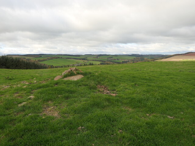
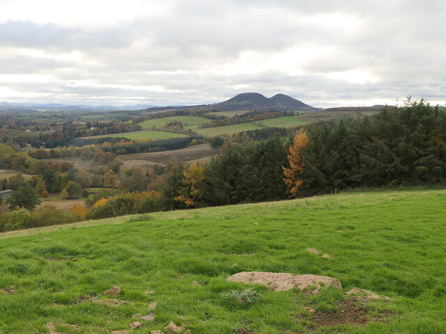
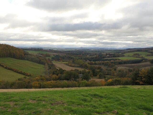
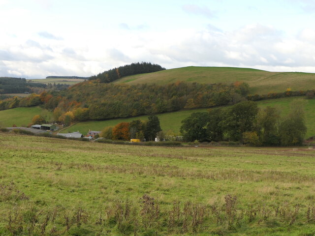
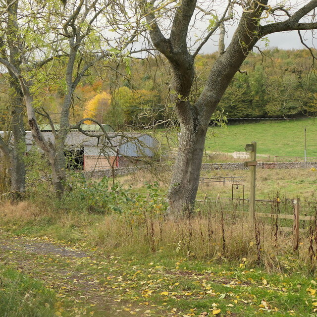
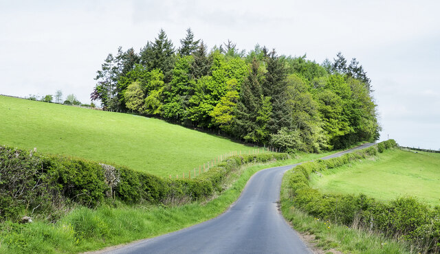
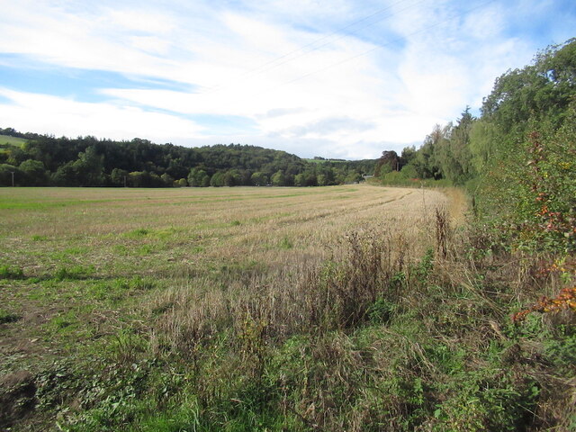
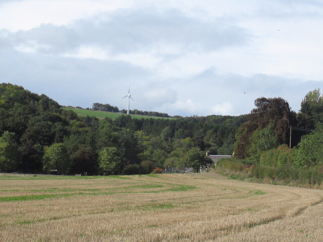
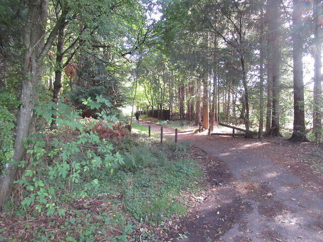
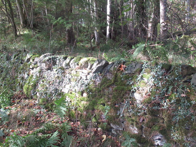
Camp Plantations is a picturesque wooded area located in the county of Roxburghshire, Scotland. Situated near the village of Wood, the plantations cover a vast expanse of around 200 acres, forming part of the beautiful Scottish Borders landscape.
The woodlands are predominantly made up of various species of trees, including oak, beech, ash, and birch. These mature trees create a dense canopy, providing shelter and a habitat for numerous wildlife species. The forest floor is covered in a rich carpet of mosses, ferns, and wildflowers, adding to the area's natural beauty.
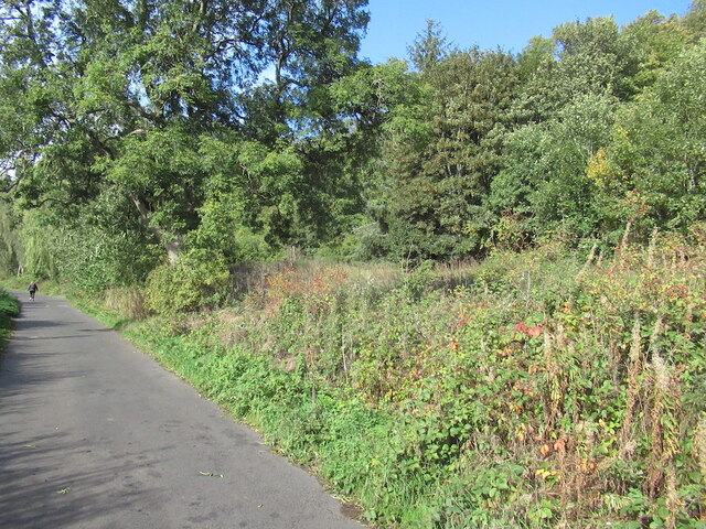
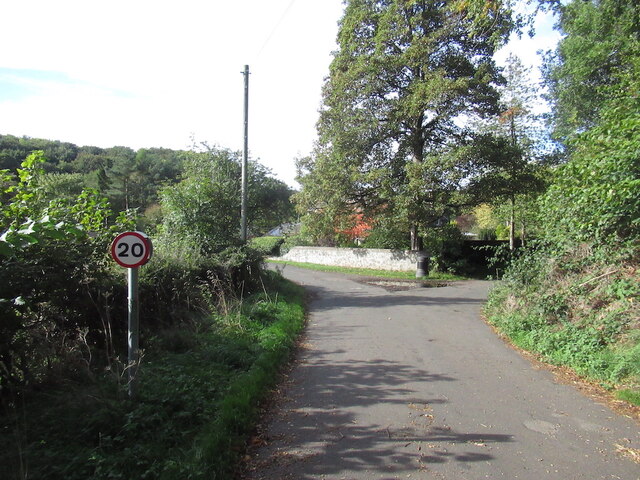
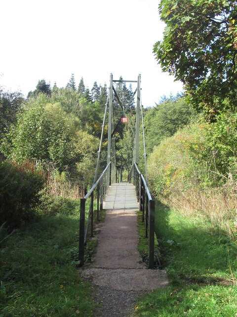
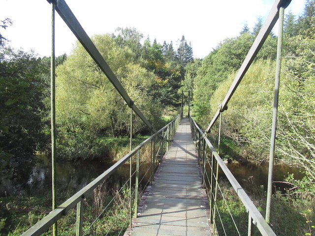
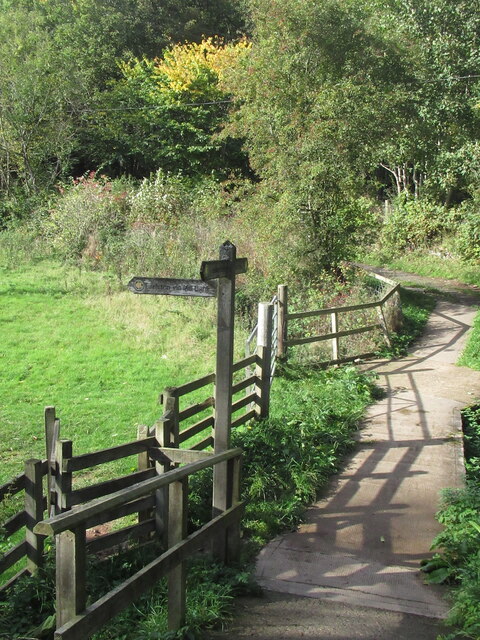
Camp Plantations offer a range of recreational activities for nature enthusiasts and outdoor lovers. There are several well-maintained walking trails, allowing visitors to explore the woodlands at their own pace and admire the breathtaking views. These trails cater to different levels of fitness and offer options for both short leisurely strolls and longer, more challenging hikes.
The diverse wildlife found within the plantations is a major attraction for nature lovers. Birdwatchers can spot a variety of species, including woodpeckers, owls, and various songbirds. Mammals such as red squirrels and roe deer are commonly seen, while lucky visitors may even catch a glimpse of elusive creatures like badgers and foxes.
Camp Plantations also offer educational opportunities, with organized nature walks and guided tours available for school groups and visitors interested in learning about the local ecosystem and conservation efforts.
Overall, Camp Plantations in Roxburghshire provide a tranquil and immersive experience in nature, making it an ideal destination for those seeking to escape the hustle and bustle of everyday life and appreciate the beauty of Scotland's woodlands.
If you have any feedback on the listing, please let us know in the comments section below.
Camp Plantations Images
Images are sourced within 2km of 55.631461/-2.6982435 or Grid Reference NT5637. Thanks to Geograph Open Source API. All images are credited.

Camp Plantations is located at Grid Ref: NT5637 (Lat: 55.631461, Lng: -2.6982435)
Unitary Authority: The Scottish Borders
Police Authority: The Lothians and Scottish Borders
What 3 Words
///roadways.armrests.rated. Near Earlston, Scottish Borders
Nearby Locations
Related Wikis

Rhymer's Tower
Rhymer's Tower, also known as Earlston Castle, is located near the village of Earlston, Scottish Borders, Scotland. The castle was the caput baroniae of...

A6105 road
The A6105 road is an A road in the Scottish Borders, Scotland and Northumberland, England. It runs from the village of Earlston to Berwick on Tweed going...
Earlston
Earlston (Scots: Yerlston; Scottish Gaelic: Dùn Airchill) is a civil parish and market town in the county of Berwickshire, within the Scottish Borders...

Earlston railway station
Earlston railway station, in the Scottish Borders village of Earlston, was a station on the now disused Berwickshire Railway.There were two platforms...

Carolside, Scottish Borders
Carolside is an estate by the Leader Water, in the Scottish Borders. It is located one mile (1.6 km) north of Earlston, in the former county of Berwickshire...

Earlston High School
Earlston High School is a secondary school in Earlston, Scottish Borders. It serves Earlston, as well as the surrounding area. Since 2009, the school has...

St Andrew's College, Drygrange
St Andrew's College, Drygrange, located near Melrose, Scotland, was a Roman Catholic seminary founded in 1953 and closed in 1986. == History == === Foundation... ===
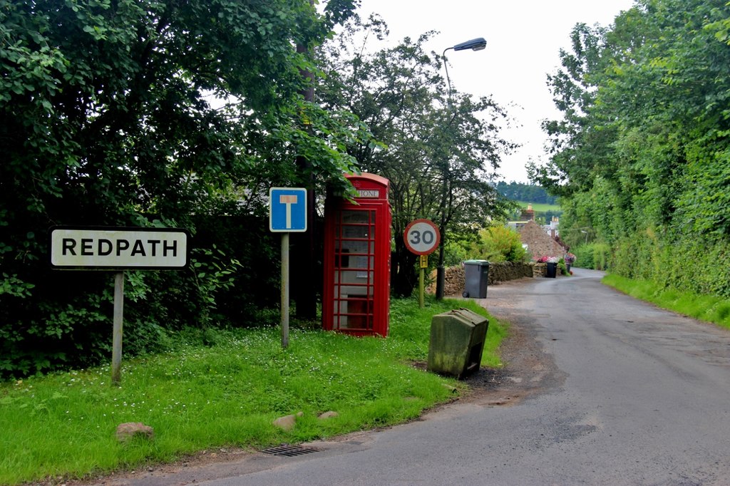
Redpath, Scottish Borders
Redpath (Scots: Rippath) is a small village located between the larger settlements of Earlston, 2 miles (3.2 km) to the north, and St Boswells, 3 miles...
Nearby Amenities
Located within 500m of 55.631461,-2.6982435Have you been to Camp Plantations?
Leave your review of Camp Plantations below (or comments, questions and feedback).