Beech Wood

Wood, Forest in East Lothian

Scotland

Beech Wood

Deserted Hopes Looking to West Hope from near Hopes Dam, hills and tracks deserted now that you are no longer permitted to park at the end of the public road, unless you are 1 of the lucky 12 to get a permit.
Deserted Hopes Credit: Adam Ward

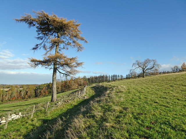
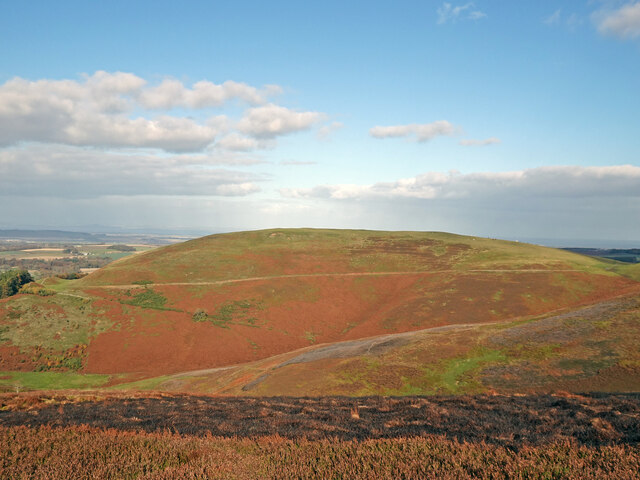
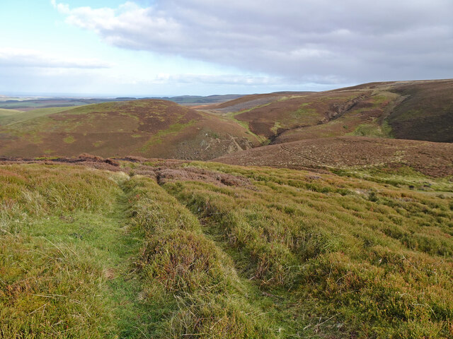
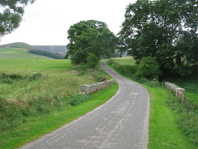
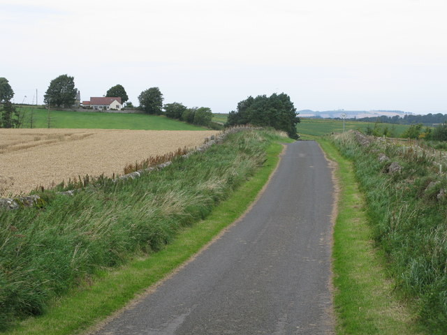
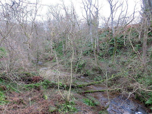
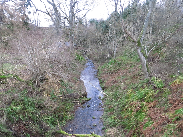
Beech Wood is a picturesque forest located in East Lothian, Scotland. Spanning approximately 200 acres, this wood is known for its dense population of beech trees, which give it its name. It is a popular destination for nature lovers and outdoor enthusiasts, offering a tranquil and serene environment for visitors to explore.

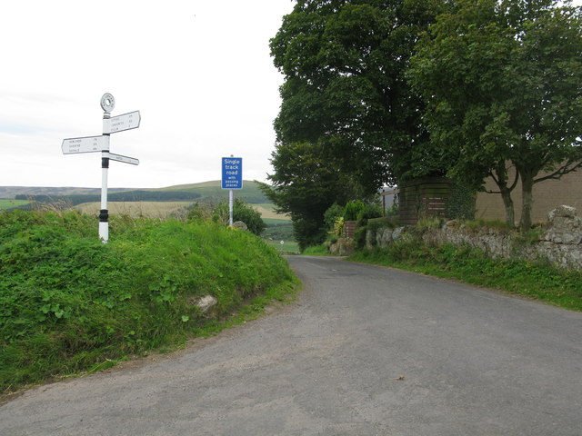
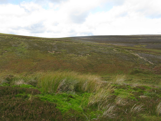
The wood is easily accessible, located just a short distance from the town of Haddington. It is adjacent to the River Tyne, providing a stunning backdrop and adding to the overall beauty of the area. The wood is also home to a variety of wildlife, including deer, squirrels, and a wide range of bird species.

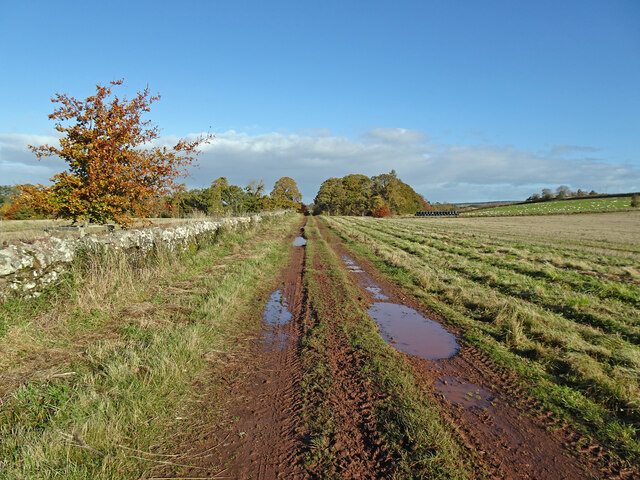
Beech Wood offers a network of well-maintained paths and trails, making it an ideal location for walking, hiking, and cycling. The trails wind through the wood, allowing visitors to immerse themselves in nature and enjoy the peaceful surroundings. The wood also features several picnic areas, providing an opportunity for visitors to relax and enjoy a meal amidst the stunning scenery.

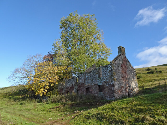
In addition to its natural beauty, Beech Wood also has historical significance. It is believed to have been a part of the ancient woodland that once covered much of East Lothian. The wood has been protected and managed by local authorities, ensuring its preservation for future generations.

Overall, Beech Wood is a hidden gem in East Lothian, offering visitors a chance to escape the hustle and bustle of daily life and immerse themselves in the beauty of nature. Whether it is a leisurely stroll or an adventurous hike, this wood has something to offer for everyone.

If you have any feedback on the listing, please let us know in the comments section below.

Beech Wood Images

Images are sourced within 2km of 55.866701/-2.7021717 or Grid Reference NT5663. Thanks to Geograph Open Source API. All images are credited.

Deserted Hopes Looking to West Hope from near Hopes Dam, hills and tracks deserted now that you are no longer permitted to park at the end of the public road, unless you are 1 of the lucky 12 to get a permit.
Deserted Hopes
Looking to West Hope from near Hopes Dam, hills and tracks deserted now that you are no longer permitted to park at the end of the public road, unless you are 1 of the lucky 12 to get a permit.
Lovely Larch Striking Larch tree in autumn colours beside track heading from Hopes to Quarryford.
Lovely Larch
Striking Larch tree in autumn colours beside track heading from Hopes to Quarryford.
Ruin above Brookside Burn Ruin of what has been a substantial building above the Brookside Burn near East Hopes. Now with trees growing in and around it.
Ruin above Brookside Burn
Ruin of what has been a substantial building above the Brookside Burn near East Hopes. Now with trees growing in and around it.
Looking to Newlands and Quarryford Muddy track after recent heavy rain looking north to Newlands Strip - the woodland just right of track, and Quarryford - just out of sight to left.
Looking to Newlands and Quarryford
Muddy track after recent heavy rain looking north to Newlands Strip - the woodland just right of track, and Quarryford - just out of sight to left.
Tractor Tyre Trails Gate showing where tractors have left their mark in the soft ground - almost looking like a deliberate pattern has been left.
Tractor Tyre Trails
Gate showing where tractors have left their mark in the soft ground - almost looking like a deliberate pattern has been left.
View of Dod Law From the lower slopes of ancient fort near Nipper Knowes is a lovely view across the valley of Brookside Burn to Dod Law in the Lammernuirs. Recently burnt heather in foreground.
View of Dod Law
From the lower slopes of ancient fort near Nipper Knowes is a lovely view across the valley of Brookside Burn to Dod Law in the Lammernuirs. Recently burnt heather in foreground.
Above the Ramparts Coming down from the top of the ancient fort above Rushy Cleugh looking over several of the ramparts. Lower slopes of Bleak Law opposite.
Above the Ramparts
Coming down from the top of the ancient fort above Rushy Cleugh looking over several of the ramparts. Lower slopes of Bleak Law opposite.
Long Grain Conduit Looking almost like a Madeiran Levada this conduit or aqueduct takes water from Long Grain round to Hopes Reservoir. Beyond is Harestone Hill.
Long Grain Conduit
Looking almost like a Madeiran Levada this conduit or aqueduct takes water from Long Grain round to Hopes Reservoir. Beyond is Harestone Hill.
Road to Hopes Near Longyester with an old traditional road sign at the corner.
Road to Hopes
Near Longyester with an old traditional road sign at the corner.
Lower slopes of Hare Law An area of distinct contrasts: Land suitable for sheep grazing in the foreground and beyond the wall moorland with thick heather.
Lower slopes of Hare Law
An area of distinct contrasts: Land suitable for sheep grazing in the foreground and beyond the wall moorland with thick heather.
Between Hopes Reservoir and West Hopes Looking towards West Hopes.
Between Hopes Reservoir and West Hopes
Looking towards West Hopes.
Hopes Water Treatment Works Between West Hopes and East Hopes.
Hopes Water Treatment Works
Between West Hopes and East Hopes.
Bridge at East Hopes Spans Hopes Water.
Bridge at East Hopes
Spans Hopes Water.
Bridge over Harelaw Burn A small part of the Lammermuir Hills in the background.
Bridge over Harelaw Burn
A small part of the Lammermuir Hills in the background.
Country road east of Longyester Looking towards a small settlement near Longyester.
Country road east of Longyester
Looking towards a small settlement near Longyester.
Bleak Law East Rig rising to the left of the photograph.
Bleak Law
East Rig rising to the left of the photograph.
Hopes Burn In a dean at Quarryford.
Hopes Burn
In a dean at Quarryford.
Hopes Burn At Quarryford.
Hopes Burn
At Quarryford.
Show me another place!

Beech Wood is located at Grid Ref: NT5663 (Lat: 55.866701, Lng: -2.7021717)

Unitary Authority: East Lothian

Police Authority: The Lothians and Scottish Borders

What 3 Words

///captive.persuade.ditching. Near Haddington, East Lothian

Related Wikis

Hopes Reservoir

Hopes Reservoir is a small reservoir in East Lothian, Scotland, in the Lammermuir Hills. It is located in the parish of Yester, 6 km (3.7 mi) south of...

Yester Castle

Yester Castle is a ruined castle, located 1+1⁄2 miles (2.5 kilometres) southeast of the village of Gifford in East Lothian, Scotland. The only remaining...

Black Castle, East Lothian

Black Castle, East Lothian is an Iron Age hillfort with a number of defensive banks, located 5 kilometres (3.1 mi) south-east of Gifford, East Lothian...

Yester Chapel

Yester Chapel is situated on the estate of Yester House, at the south-east edge of the village of Gifford in East Lothian, Scotland. The chapel is situated...

Yester House

Yester House is an early 18th-century mansion near Gifford in East Lothian, Scotland. It was the home of the Hay family, later Marquesses of Tweeddale...

Lammermuir Hills

The Lammermuirs are a range of hills in southern Scotland, forming a natural boundary between East Lothian and the Borders. The name "Lammermuir" comes...

Gifford, East Lothian

Gifford is a village in the parish of Yester in East Lothian, Scotland. It lies approximately 4 miles (6.4 km) south of Haddington and 25 miles (40 km...

Yester Parish Church

Yester Parish Church is a church of the Church of Scotland in the village of Gifford, East Lothian, Scotland. The village forms part of Yester, Bolton...

Nearby Amenities

Located within 500m of 55.866701,-2.7021717
Power: pole
Lat/Long: 55.8702217/-2.7065886
Power: pole
Lat/Long: 55.8695454/-2.707047
Power: pole
Lat/Long: 55.8688731/-2.706997
Power: pole
Lat/Long: 55.8682325/-2.706947
Power: pole
Lat/Long: 55.8675263/-2.7069116
Power: pole
Lat/Long: 55.866194/-2.7069637
Power: pole
Lat/Long: 55.8654422/-2.7069928
Power: pole
Lat/Long: 55.8648845/-2.7070158
Power: pole
Lat/Long: 55.8643782/-2.7065678
Power: pole
Lat/Long: 55.8637701/-2.7065928
Power: pole
Lat/Long: 55.8631083/-2.7066511
The data included in this document is from www.openstreetmap.org. The data is made available under ODbL.

Have you been to Beech Wood?

Leave your review of Beech Wood below (or comments, questions and feedback).