Burnt Plantation
Wood, Forest in Roxburghshire
Scotland
Burnt Plantation
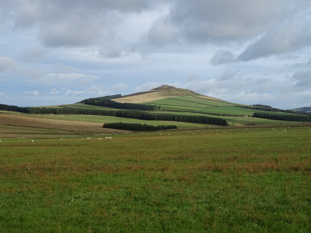
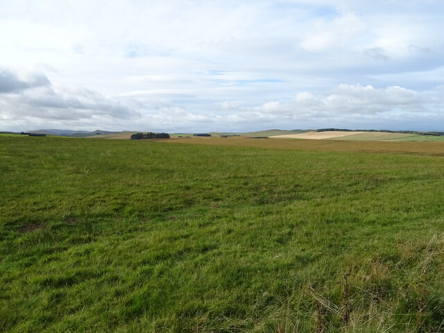
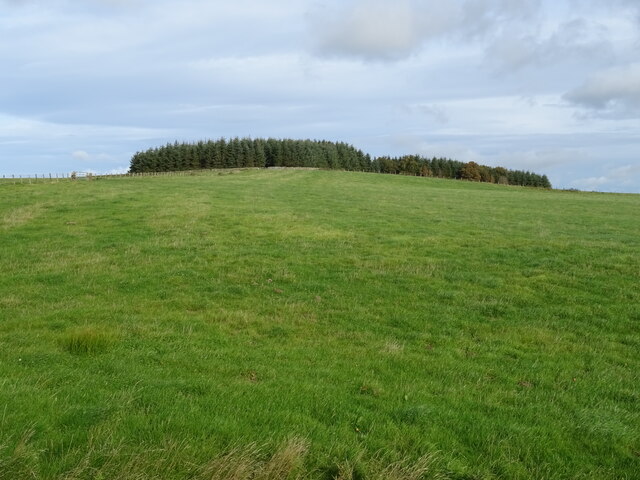
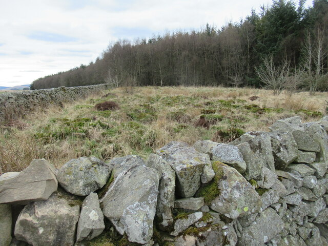
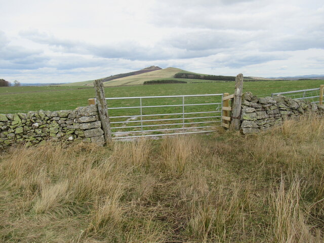
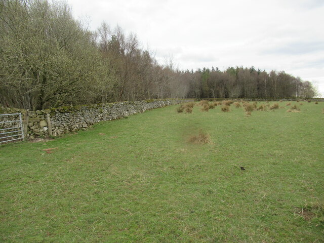
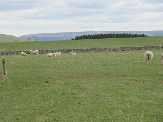
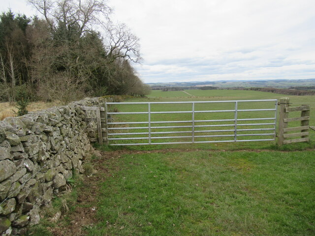
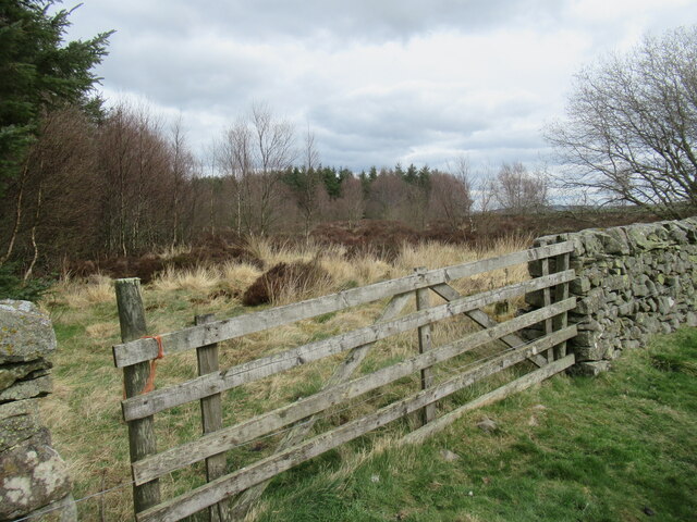
Burnt Plantation is a wood located in Roxburghshire, a historic county in the Scottish Borders region of Scotland. Situated in the rolling countryside near the small village of Burnfoot, the plantation covers an area of approximately 100 acres and forms part of a larger forested landscape.
The wood takes its name from a historical event that occurred several centuries ago, where a fire ravaged the area, leaving behind charred remnants of trees and vegetation. Over time, however, the land has regenerated, and the Burnt Plantation now boasts a diverse and thriving ecosystem.
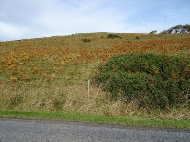
The wood is primarily composed of deciduous trees, such as oak, beech, and birch, which provide a rich canopy and shade during the summer months. Beneath the towering trees, a lush undergrowth of ferns, mosses, and wildflowers can be found, attracting a variety of wildlife.
Burnt Plantation is home to numerous species of birds, including woodpeckers, owls, and warblers, making it a favorite spot for birdwatchers. The woodland also supports a range of mammals, such as red squirrels, roe deer, and badgers, which can often be spotted foraging and exploring the forest floor.
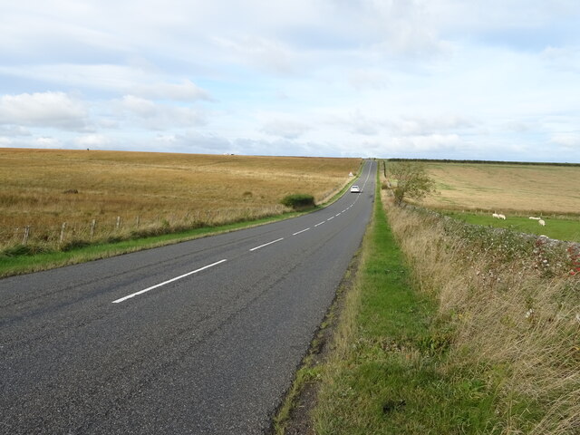
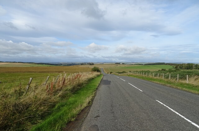
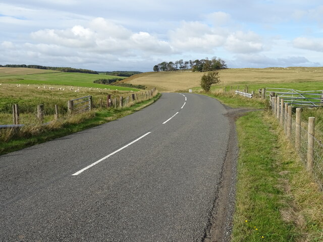
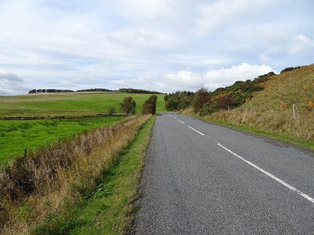
The wood is crisscrossed by a network of walking paths, allowing visitors to explore its beauty and tranquility. These paths offer breathtaking views of the surrounding countryside, with glimpses of distant hills and valleys.
Burnt Plantation in Roxburghshire is a hidden gem for nature enthusiasts, providing a peaceful retreat and a chance to immerse oneself in the wonders of the Scottish woodland.
If you have any feedback on the listing, please let us know in the comments section below.
Burnt Plantation Images
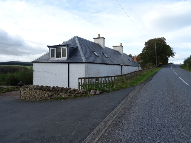
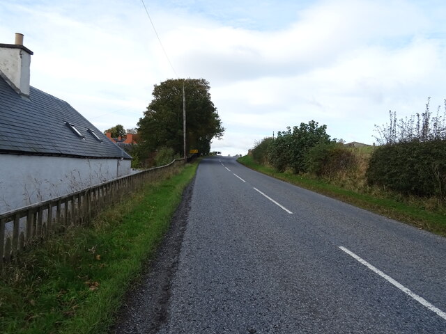
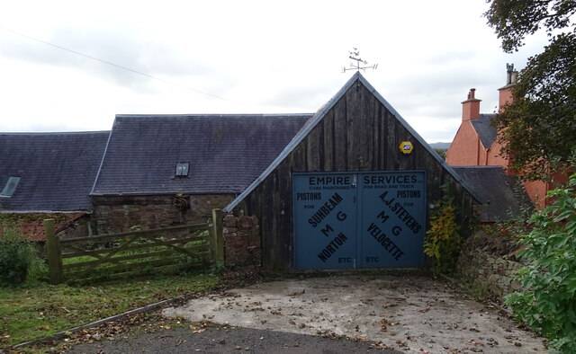
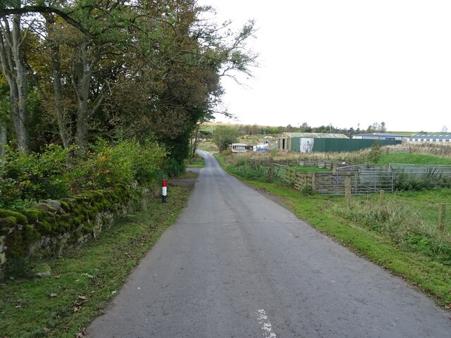
Images are sourced within 2km of 55.41389/-2.6940047 or Grid Reference NT5613. Thanks to Geograph Open Source API. All images are credited.
Burnt Plantation is located at Grid Ref: NT5613 (Lat: 55.41389, Lng: -2.6940047)
Unitary Authority: The Scottish Borders
Police Authority: The Lothians and Scottish Borders
What 3 Words
///headers.formless.nagging. Near Hawick, Scottish Borders
Nearby Locations
Related Wikis

Kirkton, Scottish Borders
Kirkton is a village in the Scottish Borders area of Scotland, off the A6088, near Hawick. Grid Ref. NT5413. It is a former parish, amalgamated into the...

Rubers Law
Rubers Law is a prominent, conical hill in the Scottish Borders area of south-east Scotland. It stands on the south bank of the River Teviot, between the...

Cavers Castle
Cavers Castle, also known as Cavers House, is a ruined tower house located at Cavers, Scottish Borders, Scotland. Cavers Castle was a much extended tower...

Bonchester Bridge
Bonchester Bridge (Scots Binster Brig) is a village in Roxburghshire, within the Scottish Borders area of Scotland, lying on the Rule Water, six miles...

Cavers, Scottish Borders
Cavers is a parish in the Scottish Borders area of Scotland, in the former county of Roxburghshire, south and east of Hawick. The largest village in the...

Hallrule
Hallrule is a hamlet on the B6357 road, in the Scottish Borders area of Scotland, on the Rule Water, near Abbotrule, Bedrule Bonchester Bridge, Denholm...

Hobkirk
Hobkirk (Scottish Gaelic: Eaglais Ruail) is a village and civil parish in the Scottish Borders area of Scotland, by the Rule Water, south-west of Jedburgh...

Westgate Hall, Denholm
Westgate Hall is located in Westgate in the village of Denholm, Roxburghshire, in the Scottish Borders. It stands at the western and south-western approaches...
Have you been to Burnt Plantation?
Leave your review of Burnt Plantation below (or comments, questions and feedback).