Magar's Braes

Wood, Forest in Angus

Scotland

Magar's Braes

Home Farm Guthrie Castle Home Farm by Friockheim.
Home Farm Credit: Andrew Wood

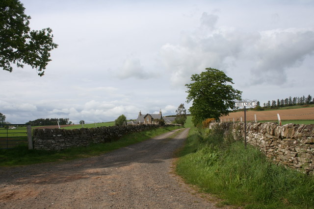
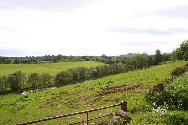
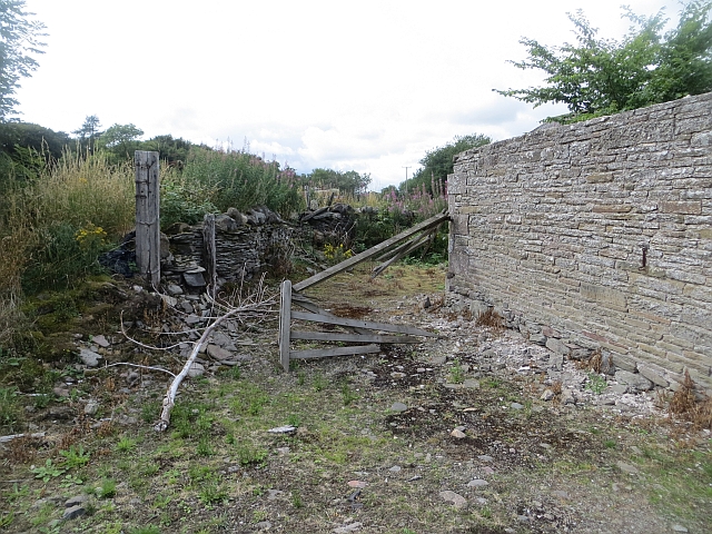
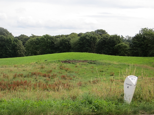
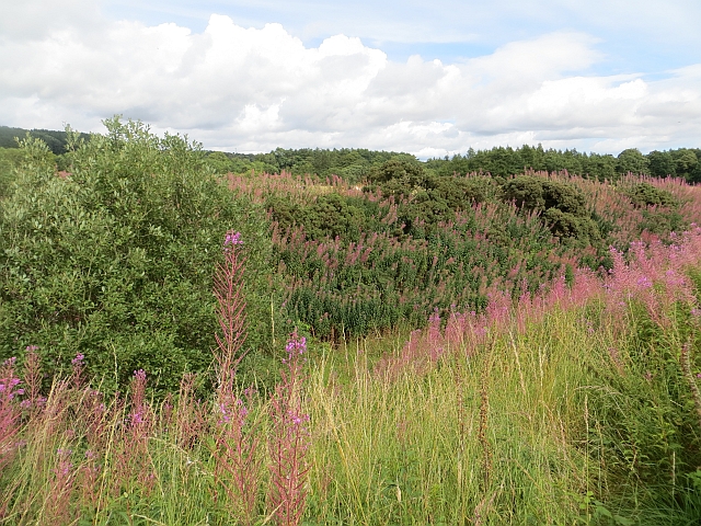
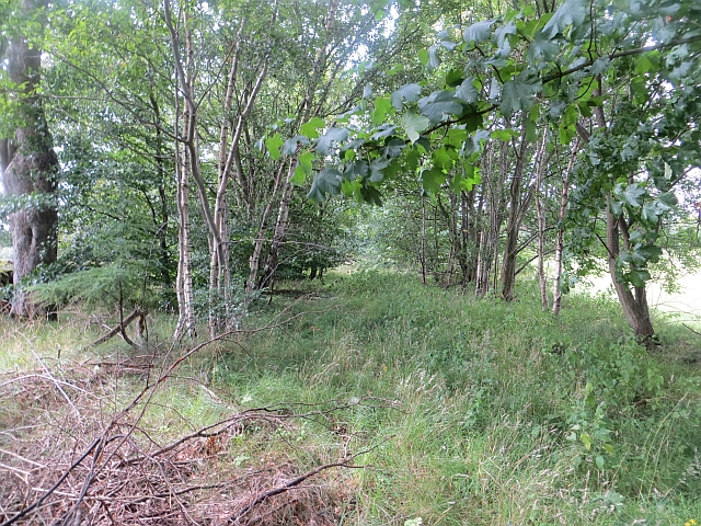
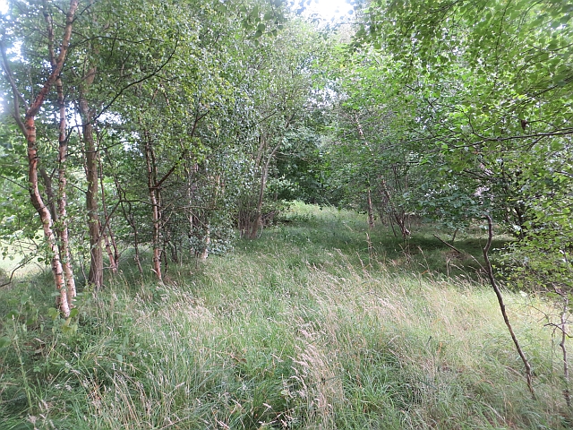
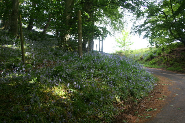
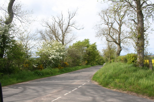
Magar's Braes is a wooded area located in Angus, Scotland. Covering an area of approximately 40 acres, this forest is home to a variety of native trees and wildlife. The forest is known for its dense vegetation, including oak, birch, and pine trees, as well as ferns and wildflowers that carpet the forest floor.

Magar's Braes is a popular destination for nature lovers and hikers, with a network of well-maintained trails that wind through the forest, offering stunning views of the surrounding countryside. The forest is also home to a diverse range of wildlife, including deer, foxes, and a variety of bird species.

Visitors to Magar's Braes can enjoy a peaceful and tranquil environment, perfect for escaping the hustle and bustle of everyday life. The forest is a haven for birdwatchers and photographers, with many opportunities to spot rare and elusive species in their natural habitat.

Overall, Magar's Braes is a beautiful and serene woodland area, perfect for those looking to connect with nature and enjoy the peace and tranquility of the Scottish countryside.

If you have any feedback on the listing, please let us know in the comments section below.

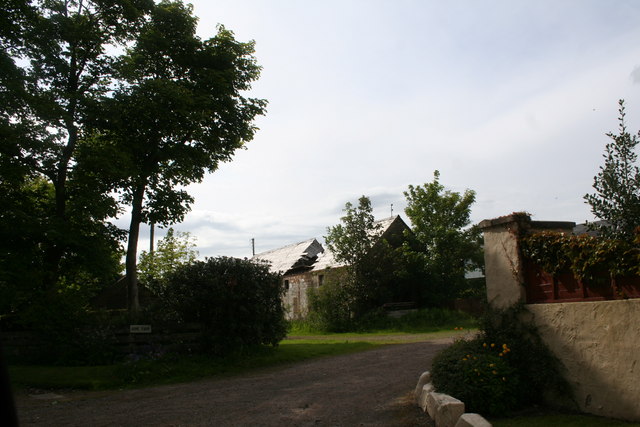
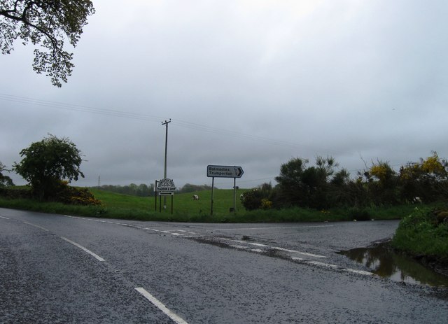
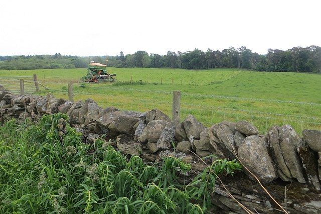
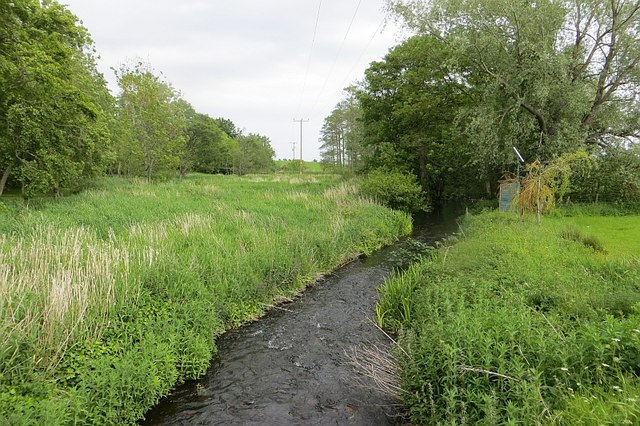
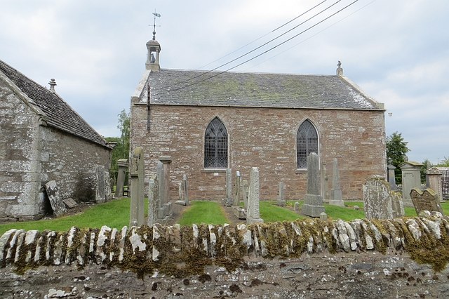
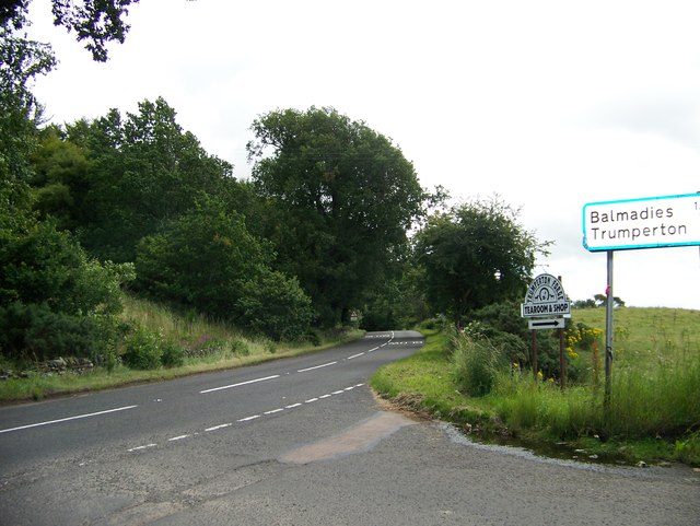
Magar's Braes Images

Images are sourced within 2km of 56.63112/-2.7251768 or Grid Reference NO5549. Thanks to Geograph Open Source API. All images are credited.

Home Farm Guthrie Castle Home Farm by Friockheim.
Home Farm
Guthrie Castle Home Farm by Friockheim.
Hillside Farm The road leading , naturally enough, uphill to Hillside.
Hillside Farm
The road leading , naturally enough, uphill to Hillside.
Fields by the Lunan Farmland by the Lunan Water which is behind the tree belt.
Fields by the Lunan
Farmland by the Lunan Water which is behind the tree belt.
Road junction
Road junction
Ruined farm building And gate...  Old red sandstone wall at Milldens.
Ruined farm building
And gate... Old red sandstone wall at Milldens.
Milepost, Milldens
Milepost, Milldens
Arbroath and Forfar Railway The trackbed is now a farm road in a cutting. The railway was an early one, built in 1839 and closed in 1967.
Arbroath and Forfar Railway
The trackbed is now a farm road in a cutting. The railway was an early one, built in 1839 and closed in 1967.
Arbroath and Forfar Railway The trackbed or the Arbroath and Forfar Railway, now wooded. The line closed in 1967.
Arbroath and Forfar Railway
The trackbed or the Arbroath and Forfar Railway, now wooded. The line closed in 1967.
Arbroath and Forfar Railway The trackbed or the Arbroath and Forfar Railway, now wooded. The line closed in 1967.
Arbroath and Forfar Railway
The trackbed or the Arbroath and Forfar Railway, now wooded. The line closed in 1967.
Guthrie These may be converted stables, where an ancestor worked as a groom in 1861.
Guthrie
These may be converted stables, where an ancestor worked as a groom in 1861.
Guthrie Aisle, Guthrie Now the Guthrie family burial vault, it is believed that the Guthrie Aisle formed the south transept of the original church which was first mentioned in 1178.  The original church was largely removed to facilitate the construction of the current church (1826).
Guthrie Aisle, Guthrie
Now the Guthrie family burial vault, it is believed that the Guthrie Aisle formed the south transept of the original church which was first mentioned in 1178. The original church was largely removed to facilitate the construction of the current church (1826).
Damp corner Wild flowers in a wetland corner of a field at Milldens.
Damp corner
Wild flowers in a wetland corner of a field at Milldens.
Field, Balmadies A seed drill looks out of place in pasture.
Field, Balmadies
A seed drill looks out of place in pasture.
Lunan Water Passing Guthrie.
Lunan Water
Passing Guthrie.
Guthrie Parish Church
Junction of the Letham road with the A932
Bluebell Bend A bluebell covered roadside bend at Crow Hill.
Bluebell Bend
A bluebell covered roadside bend at Crow Hill.
Gardyne Junction The tree lined junction of two unclassified roads by Gardyne.
Gardyne Junction
The tree lined junction of two unclassified roads by Gardyne.
Show me another place!

Magar's Braes is located at Grid Ref: NO5549 (Lat: 56.63112, Lng: -2.7251768)

Unitary Authority: Angus

Police Authority: Tayside

What 3 Words

///sobbed.alternate.cake. Near Letham, Angus

Related Wikis

Guthrie railway station

Guthrie railway station served the village of Guthrie, Angus, Scotland from 1838 to 1955 on the Arbroath and Forfar Railway. == History == The station...

Guthrie Castle

Guthrie Castle is a castle and country house in Angus, Scotland. It is located in the village of Guthrie, 10 kilometres (6.2 mi) east of Forfar, and 29...

Gardyne Castle

Gardyne Castle is a 16th-century tower house in Angus, Scotland. It is located 2 kilometres (1.2 mi) south-west of Friockheim. The castle is still in use...

Guthrie, Angus

Guthrie is a village in Angus, Scotland, roughly at the centre point of the towns of Arbroath, Brechin and Forfar. The principal building in the village...

Nearby Amenities

Located within 500m of 56.63112,-2.7251768
Fallady
Place: isolated_dwelling
Lat/Long: 56.628767/-2.7184684
Fallady Bank
Place: hamlet
Lat/Long: 56.6286974/-2.7283066
Power: pole
Lat/Long: 56.6288686/-2.7189709
Power: pole
Lat/Long: 56.62872/-2.7203546
Power: pole
Lat/Long: 56.6285645/-2.7217225
Power: pole
Lat/Long: 56.6284178/-2.7230859
Power: pole
Lat/Long: 56.628266/-2.7244222
Power: pole
Lat/Long: 56.6281441/-2.7255324
Power: pole
Lat/Long: 56.6279837/-2.7269772
Power: pole
Lat/Long: 56.6278282/-2.7283926
Power: pole
Lat/Long: 56.6274215/-2.7292585
Power: pole
Lat/Long: 56.6283469/-2.7283293
The data included in this document is from www.openstreetmap.org. The data is made available under ODbL.

Have you been to Magar's Braes?

Leave your review of Magar's Braes below (or comments, questions and feedback).