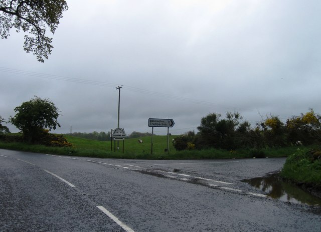
Balmadies Loch
Lake, Pool, Pond, Freshwater Marsh in Angus
Scotland
Balmadies Loch
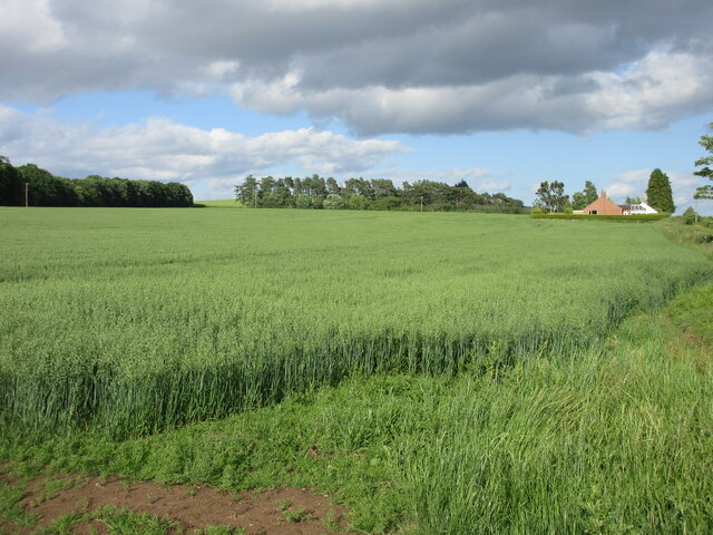
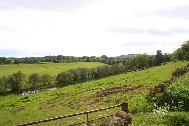
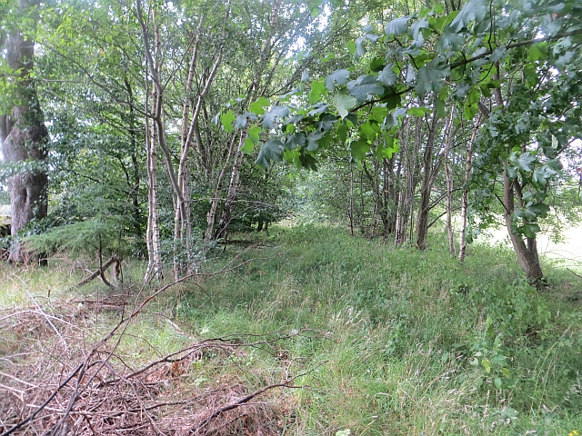
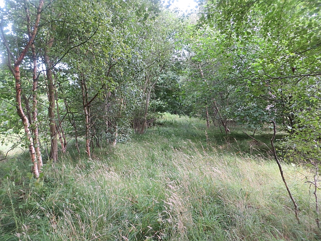
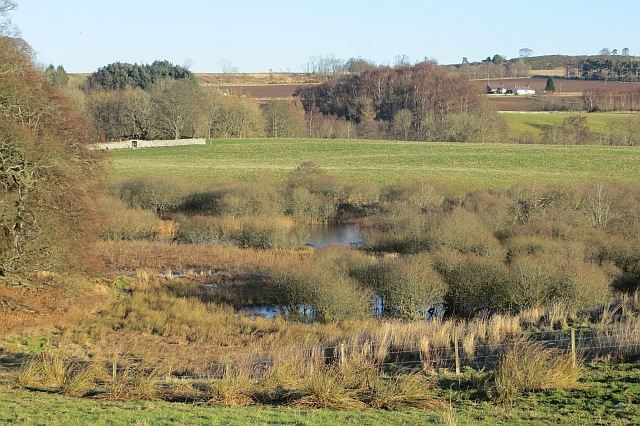
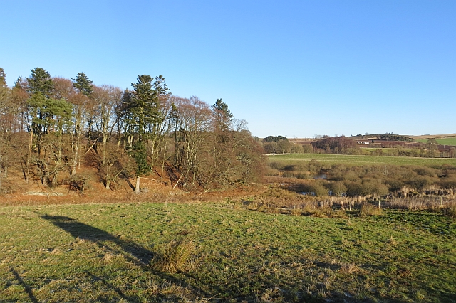
Balmadies Loch, located in Angus, Scotland, is a picturesque freshwater loch encompassing an area of approximately 15 hectares. It is nestled within a serene valley surrounded by rolling hills and lush greenery, providing a tranquil retreat for both visitors and wildlife alike.
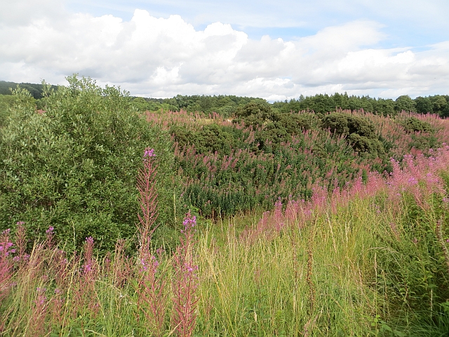
The loch is characterized by its clear, calm waters, reflecting the stunning landscape that surrounds it. It serves as a vital habitat for a diverse range of flora and fauna, making it a popular spot for nature enthusiasts and birdwatchers. The reed beds and marshy areas that fringe the loch provide a haven for a variety of bird species, including grebes, herons, and ducks.
The loch is also home to a rich aquatic ecosystem, teeming with fish such as brown trout and perch. Anglers are often seen enjoying the peaceful surroundings as they cast their lines into the water, hoping for a catch.
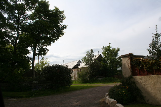
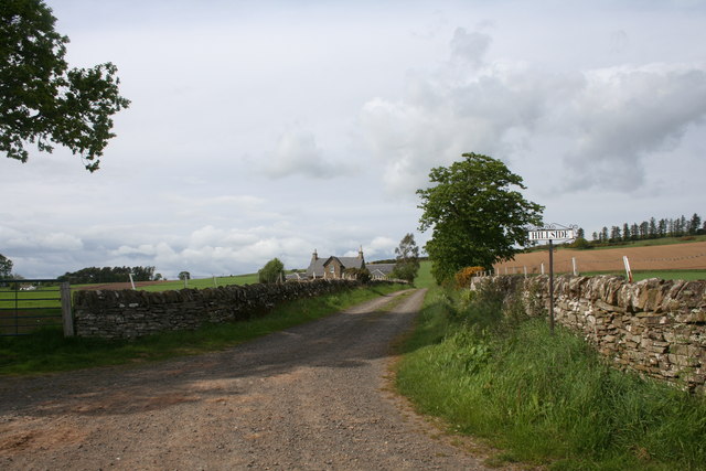
Surrounding the loch, visitors can find well-maintained walking trails that offer breathtaking views of the surrounding Angus countryside. The area is also known for its abundant wildlife, with occasional sightings of red deer, otters, and even ospreys soaring overhead.
Balmadies Loch is a popular destination for outdoor activities, such as picnicking, canoeing, and kayaking. The calm waters and tranquil atmosphere make it an ideal spot for a leisurely paddle or a peaceful afternoon picnic by the water's edge.
With its natural beauty and diverse wildlife, Balmadies Loch is a hidden gem that offers a serene escape from the hustle and bustle of everyday life, making it a must-visit destination for nature lovers and those seeking a tranquil retreat in the heart of Angus.
If you have any feedback on the listing, please let us know in the comments section below.
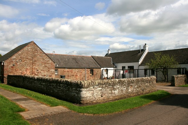
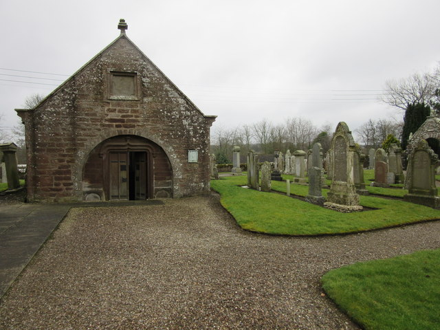
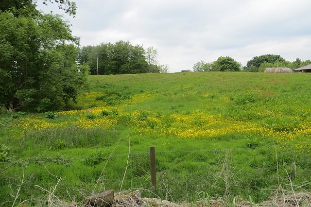
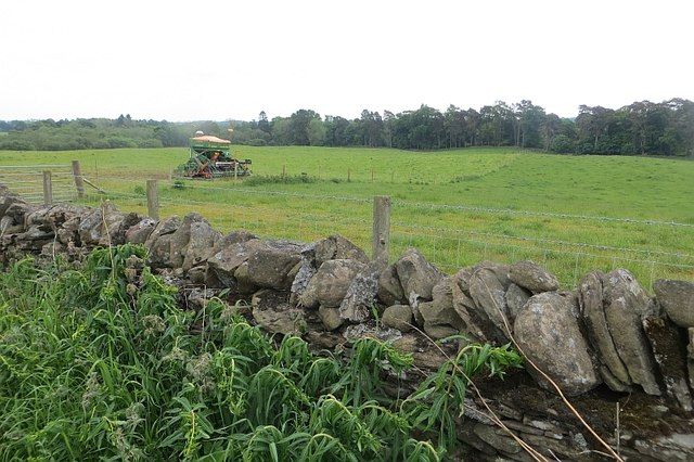
Balmadies Loch Images
Images are sourced within 2km of 56.639161/-2.7266518 or Grid Reference NO5549. Thanks to Geograph Open Source API. All images are credited.


Balmadies Loch is located at Grid Ref: NO5549 (Lat: 56.639161, Lng: -2.7266518)
Unitary Authority: Angus
Police Authority: Tayside
What 3 Words
///reinvest.over.mainly. Near Letham, Angus
Nearby Locations
Related Wikis

Guthrie Castle
Guthrie Castle is a castle and country house in Angus, Scotland. It is located in the village of Guthrie, 10 kilometres (6.2 mi) east of Forfar, and 29...

Guthrie railway station
Guthrie railway station served the village of Guthrie, Angus, Scotland from 1838 to 1955 on the Arbroath and Forfar Railway. == History == The station...

Guthrie, Angus
Guthrie is a village in Angus, Scotland, roughly at the centre point of the towns of Arbroath, Brechin and Forfar. The principal building in the village...

Auldbar Road railway station
Auldbar Road railway station was located near the town of Guthrie in the Scottish county of Angus. == History == Opened by the Arbroath and Forfar Railway...

Gardyne Castle
Gardyne Castle is a 16th-century tower house in Angus, Scotland. It is located 2 kilometres (1.2 mi) south-west of Friockheim. The castle is still in use...

Letham, Angus
Letham (Scots pronunciation: [ˈlɛθəm]) is a village in Angus, Scotland. Letham is the largest village in Angus, with a population of nearly 2,000. Situated...
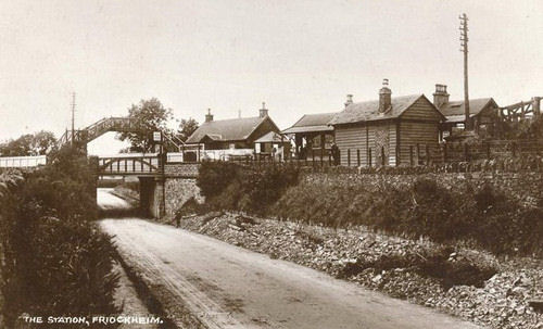
Friockheim railway station
Friockheim railway station served the village of Friockheim, Angus, Scotland from 1838 to 1955 on the Arbroath and Forfar Railway. == History == The station...
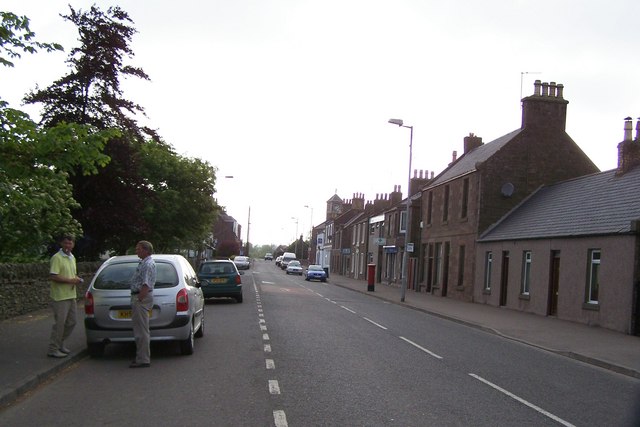
Friockheim
Friockheim is a village in Angus, Scotland dating from 1814. It lies between the towns of Arbroath, Brechin, Forfar and Montrose. == History == The name...
Nearby Amenities
Located within 500m of 56.639161,-2.7266518Have you been to Balmadies Loch?
Leave your review of Balmadies Loch below (or comments, questions and feedback).