The Moss

Wood, Forest in Angus

Scotland

The Moss

Oat field at Balgavies Field of oats to the east of Balgavies Home Farm.
Oat field at Balgavies Credit: Scott Cormie

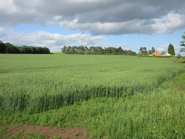
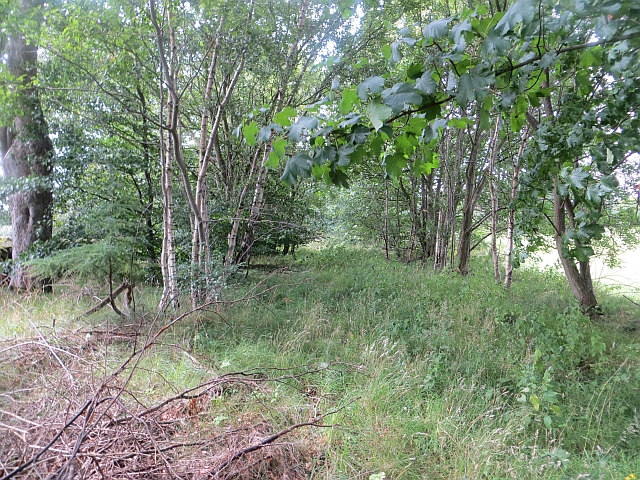
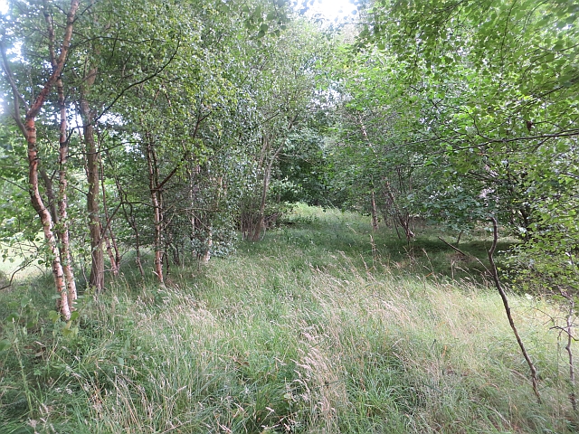
The Moss, Angus, also known as the Wood or Forest, is a natural area located in the county of Angus, Scotland. Spanning approximately 200 acres, this moss is a stunning example of a temperate forest ecosystem. It is situated near the village of Edzell, in close proximity to the beautiful Angus Glens.

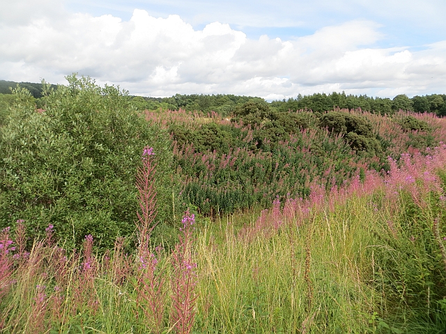
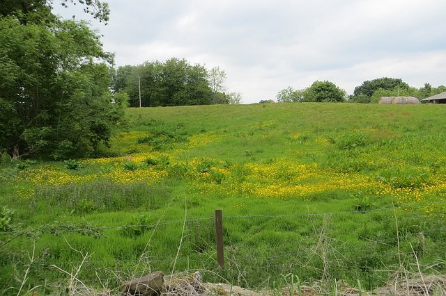
The Moss is characterized by its dense woodland, primarily composed of native broadleaf trees such as oak, birch, and beech. These trees create a lush and vibrant canopy, providing habitats for a diverse range of flora and fauna. The forest floor is covered in a rich layer of mosses, ferns, and other undergrowth, adding to the area's natural beauty.

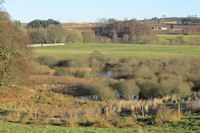
The Moss is a haven for wildlife enthusiasts and nature lovers alike. It is home to various species of birds, including woodpeckers, owls, and songbirds, making it a prime location for birdwatching. The forest also supports a variety of mammals, such as red squirrels, badgers, and deer.

Visitors to The Moss can enjoy peaceful walks along its numerous trails, immersing themselves in the tranquility of nature. The towering trees and the soothing sounds of rustling leaves create a serene atmosphere, perfect for relaxation and contemplation.

The Moss, Angus, is not only a picturesque woodland but also an important ecological site. It provides valuable habitats for wildlife, contributes to carbon sequestration, and helps maintain the overall health of the local ecosystem. Its preservation and conservation are essential for future generations to enjoy and appreciate this natural treasure.

If you have any feedback on the listing, please let us know in the comments section below.
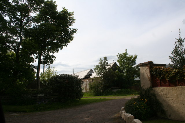
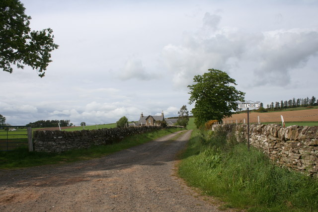
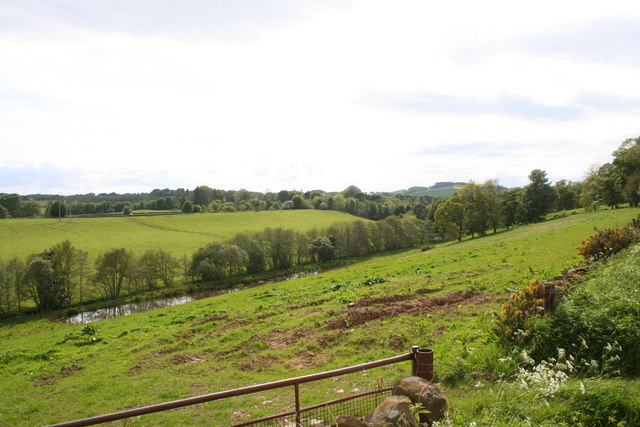
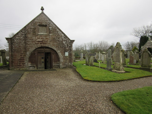
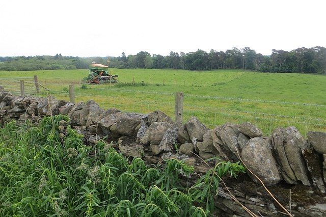
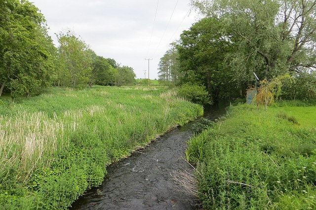
The Moss Images

Images are sourced within 2km of 56.639002/-2.7230619 or Grid Reference NO5549. Thanks to Geograph Open Source API. All images are credited.

Oat field at Balgavies Field of oats to the east of Balgavies Home Farm.
Oat field at Balgavies
Field of oats to the east of Balgavies Home Farm.
Home Farm Guthrie Castle Home Farm by Friockheim.
Home Farm
Guthrie Castle Home Farm by Friockheim.
Hillside Farm The road leading , naturally enough, uphill to Hillside.
Hillside Farm
The road leading , naturally enough, uphill to Hillside.
Fields by the Lunan Farmland by the Lunan Water which is behind the tree belt.
Fields by the Lunan
Farmland by the Lunan Water which is behind the tree belt.
Road junction
Road junction
Ruined farm building And gate...  Old red sandstone wall at Milldens.
Ruined farm building
And gate... Old red sandstone wall at Milldens.
Milepost, Milldens
Milepost, Milldens
Arbroath and Forfar Railway The trackbed is now a farm road in a cutting. The railway was an early one, built in 1839 and closed in 1967.
Arbroath and Forfar Railway
The trackbed is now a farm road in a cutting. The railway was an early one, built in 1839 and closed in 1967.
Arbroath and Forfar Railway The trackbed or the Arbroath and Forfar Railway, now wooded. The line closed in 1967.
Arbroath and Forfar Railway
The trackbed or the Arbroath and Forfar Railway, now wooded. The line closed in 1967.
Arbroath and Forfar Railway The trackbed or the Arbroath and Forfar Railway, now wooded. The line closed in 1967.
Arbroath and Forfar Railway
The trackbed or the Arbroath and Forfar Railway, now wooded. The line closed in 1967.
Diel's Lappie Diel's Lappie is a flooded kettlehole next to an esker just north of the Arbroath to Forfar road.
Diel's Lappie
Diel's Lappie is a flooded kettlehole next to an esker just north of the Arbroath to Forfar road.
Wetland, Milldens A wet hollow in kame and kettle terrain.
Wetland, Milldens
A wet hollow in kame and kettle terrain.
Wooded wetland near Milldens A sunlit tree on an esker in a location with fine depositional features.
Wooded wetland near Milldens
A sunlit tree on an esker in a location with fine depositional features.
Guthrie These may be converted stables, where an ancestor worked as a groom in 1861.
Guthrie
These may be converted stables, where an ancestor worked as a groom in 1861.
Guthrie Aisle, Guthrie Now the Guthrie family burial vault, it is believed that the Guthrie Aisle formed the south transept of the original church which was first mentioned in 1178.  The original church was largely removed to facilitate the construction of the current church (1826).
Guthrie Aisle, Guthrie
Now the Guthrie family burial vault, it is believed that the Guthrie Aisle formed the south transept of the original church which was first mentioned in 1178. The original church was largely removed to facilitate the construction of the current church (1826).
Damp corner Wild flowers in a wetland corner of a field at Milldens.
Damp corner
Wild flowers in a wetland corner of a field at Milldens.
Field, Balmadies A seed drill looks out of place in pasture.
Field, Balmadies
A seed drill looks out of place in pasture.
Lunan Water Passing Guthrie.
Lunan Water
Passing Guthrie.
Show me another place!

The Moss is located at Grid Ref: NO5549 (Lat: 56.639002, Lng: -2.7230619)

Unitary Authority: Angus

Police Authority: Tayside

What 3 Words

///shuffles.swoop.husband. Near Letham, Angus

Related Wikis

Guthrie Castle

Guthrie Castle is a castle and country house in Angus, Scotland. It is located in the village of Guthrie, 10 kilometres (6.2 mi) east of Forfar, and 29...

Guthrie railway station

Guthrie railway station served the village of Guthrie, Angus, Scotland from 1838 to 1955 on the Arbroath and Forfar Railway. == History == The station...

Guthrie, Angus

Guthrie is a village in Angus, Scotland, roughly at the centre point of the towns of Arbroath, Brechin and Forfar. The principal building in the village...

Gardyne Castle

Gardyne Castle is a 16th-century tower house in Angus, Scotland. It is located 2 kilometres (1.2 mi) south-west of Friockheim. The castle is still in use...

Nearby Amenities

Located within 500m of 56.639002,-2.7230619
Moss-side
Place: isolated_dwelling
Lat/Long: 56.640429/-2.719566
Power: pole
Lat/Long: 56.6360779/-2.7180915
Power: pole
Lat/Long: 56.6363126/-2.7193406
Power: pole
Lat/Long: 56.636567/-2.7206568
Power: pole
Lat/Long: 56.636798/-2.7219126
Power: pole
Lat/Long: 56.6370438/-2.7231885
Power: pole
Lat/Long: 56.6371925/-2.7239773
Power: pole
Lat/Long: 56.6373842/-2.7251661
Power: pole
Lat/Long: 56.6375857/-2.7264085
Power: pole
Lat/Long: 56.6378081/-2.727756
Power: pole
Lat/Long: 56.6380195/-2.7291213
Power: pole
Lat/Long: 56.6382247/-2.7304285
The data included in this document is from www.openstreetmap.org. The data is made available under ODbL.

Have you been to The Moss?

Leave your review of The Moss below (or comments, questions and feedback).