West Strips

Wood, Forest in Roxburghshire

Scotland

West Strips

Barley field below the Eildon Hills, Melrose A field on The Annay beside the Tweed with Eildon Hill North (L) and Mid Hill (R). The houses are on the eastern fringe of Melrose.
Barley field below the Eildon Hills, Melrose Credit: Jim Barton

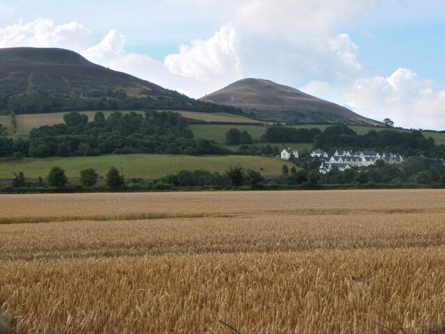
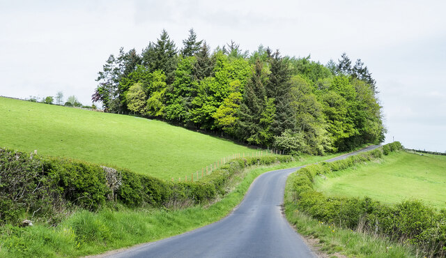
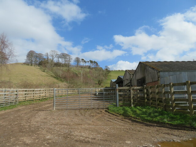
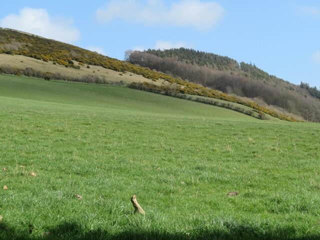
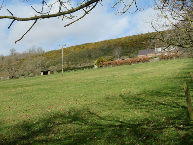
West Strips is a small wooded area located in Roxburghshire, a historic county in the Scottish Borders region of Scotland. Situated near the village of Wood, it is known for its scenic beauty and rich forested landscape.

Covering an area of approximately 100 acres, West Strips is home to a diverse range of flora and fauna, making it a popular destination for nature enthusiasts and wildlife observers. The forest is primarily composed of native tree species such as oak, birch, and pine, providing a natural habitat for a variety of woodland creatures including red squirrels, roe deer, and numerous bird species.

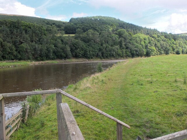
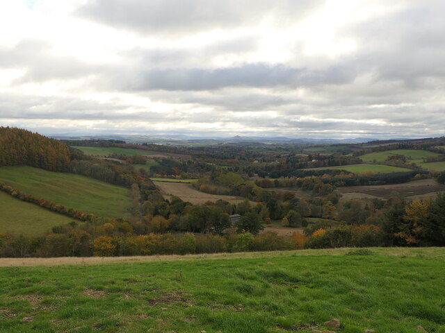
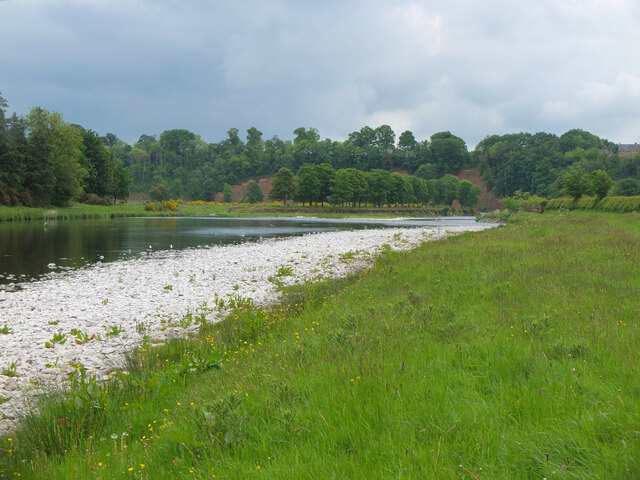
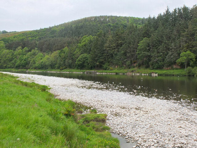
Visitors to West Strips can explore the area through a network of well-maintained walking trails that wind their way through the forest. These trails offer breathtaking views of the surrounding countryside, with glimpses of the nearby Cheviot Hills in the distance. The peaceful ambiance and the tranquil sound of birdsong make it an ideal location for those seeking a break from the hustle and bustle of everyday life.

The forest also holds historical significance, as it was once part of the ancient Caledonian Forest that covered much of Scotland. Today, efforts are being made to preserve and restore this important natural heritage, with ongoing conservation projects in place.

Overall, West Strips in Roxburghshire is a beautiful woodland area that offers visitors a chance to connect with nature, explore scenic trails, and appreciate the rich biodiversity of the region.

If you have any feedback on the listing, please let us know in the comments section below.
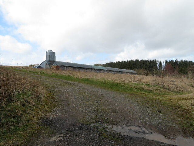
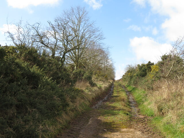
West Strips Images

Images are sourced within 2km of 55.620596/-2.7064184 or Grid Reference NT5536. Thanks to Geograph Open Source API. All images are credited.

Barley field below the Eildon Hills, Melrose A field on The Annay beside the Tweed with Eildon Hill North (L) and Mid Hill (R). The houses are on the eastern fringe of Melrose.
Barley field below the Eildon Hills, Melrose
A field on The Annay beside the Tweed with Eildon Hill North (L) and Mid Hill (R). The houses are on the eastern fringe of Melrose.
The Tweed east of Melrose The Tweed seen from an elevated stile on the riverside path to Newstead.
The Tweed east of Melrose
The Tweed seen from an elevated stile on the riverside path to Newstead.
Yesterday's rain, River Tweed Very heavy showers yesterday have increased the flow and coloured the water with suspended mud, here in a narrowing of the river near Newstead.
Yesterday's rain, River Tweed
Very heavy showers yesterday have increased the flow and coloured the water with suspended mud, here in a narrowing of the river near Newstead.
View down Lauderdale From White Hill.
View down Lauderdale
From White Hill.
Trees beside Anniesfield House The road passing the trees is above the A68 close to Earlston.
Trees beside Anniesfield House
The road passing the trees is above the A68 close to Earlston.
The Tweed near Newstead The low water level has exposed white shingle along the banks.
The Tweed near Newstead
The low water level has exposed white shingle along the banks.
The Tweed near Newstead (2) Looking upstream towards Covert Plantation on the southern side of Chester Knowe.
The Tweed near Newstead (2)
Looking upstream towards Covert Plantation on the southern side of Chester Knowe.
Access  road  to  Drygrange  Mains  from  A68  southbound It follows the A68 for some way then under A68 to farm
Access road to Drygrange Mains from A68 southbound
It follows the A68 for some way then under A68 to farm
Grassy hillside near Housebyres Looking southeast across Blake Burn, a tributary of the Allan Water.
Grassy hillside near Housebyres
Looking southeast across Blake Burn, a tributary of the Allan Water.
Farm buildings at Easter Housebyres Stock housing, but currently unoccupied.
Farm buildings at Easter Housebyres
Stock housing, but currently unoccupied.
Houses at Monkswood A low density housing development on a south-facing hillside above Gattonside.
Houses at Monkswood
A low density housing development on a south-facing hillside above Gattonside.
Grassy hillside, with Gorse and woodland above At Allerley Mains, east of Gattonside.
Grassy hillside, with Gorse and woodland above
At Allerley Mains, east of Gattonside.
Purple Dead Nettle A common dead nettle [Lamium purpureum], growing between the drive to Allerley Mains and the field at <a href="https://www.geograph.org.uk/photo/7439174">NT5535 : Grassy hillside, with Gorse and woodland above</a>.
Purple Dead Nettle
A common dead nettle [Lamium purpureum], growing between the drive to Allerley Mains and the field at NT5535 : Grassy hillside, with Gorse and woodland above.
Ploughed field at Allerley Mains Looking southeast from the B6360 to woodland by the River Tweed.
Ploughed field at Allerley Mains
Looking southeast from the B6360 to woodland by the River Tweed.
Ploughed field at Allerley Mains Looking south across the River Tweed to the Priorswalk, on the eastern edge of Melrose.
Ploughed field at Allerley Mains
Looking south across the River Tweed to the Priorswalk, on the eastern edge of Melrose.
Pasture at Allerley Mains With a Gorse covered hillside beyond.
Pasture at Allerley Mains
With a Gorse covered hillside beyond.
Poultry shed near Sorrowlessfield On a wooded hillside west of Earlston
Poultry shed near Sorrowlessfield
On a wooded hillside west of Earlston
Trackway north of Sorrowlessfield Heading southwest towards Gattonside.
Trackway north of Sorrowlessfield
Heading southwest towards Gattonside.
Show me another place!

West Strips is located at Grid Ref: NT5536 (Lat: 55.620596, Lng: -2.7064184)

Unitary Authority: The Scottish Borders

Police Authority: The Lothians and Scottish Borders

What 3 Words

///factor.conveying.cashier. Near Melrose, Scottish Borders

Nearby Locations

West Strips

Related Wikis

Gattonside

Gattonside is a small village in the Scottish Borders. It is located 1 kilometre (0.62 mi) north of Melrose, on the north side of the River Tweed. In 1143...

Rhymer's Tower

Rhymer's Tower, also known as Earlston Castle, is located near the village of Earlston, Scottish Borders, Scotland. The castle was the caput baroniae of...

St Andrew's College, Drygrange

St Andrew's College, Drygrange, located near Melrose, Scotland, was a Roman Catholic seminary founded in 1953 and closed in 1986. == History == === Foundation... ===
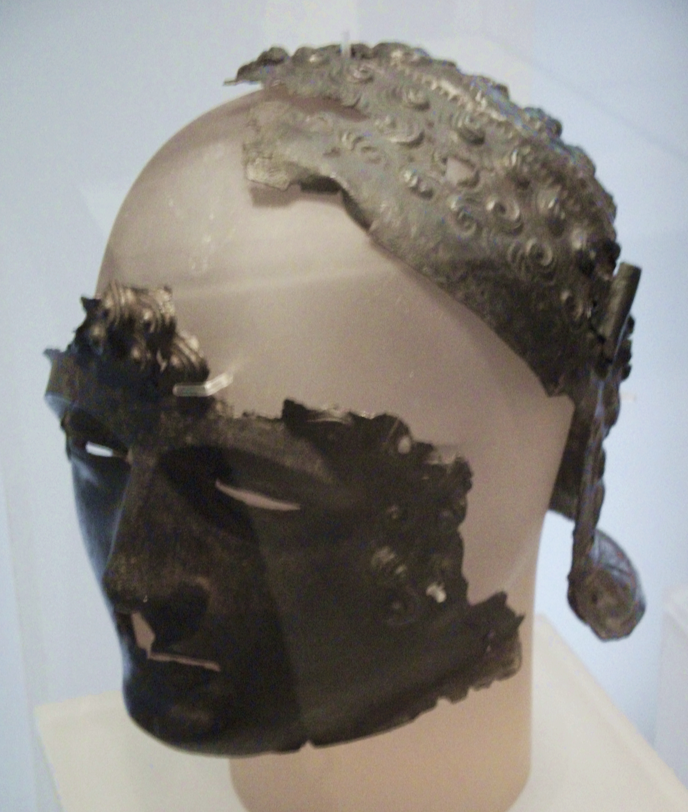
Newstead Helmet

The Newstead Helmet is an iron Roman cavalry helmet dating to 80–100 AD that was discovered at the site of a Roman fort in Newstead, near Melrose in Roxburghshire...

Harmony Garden, Scottish Borders

The Harmony Garden is the garden of Harmony Hall which is in the town of Melrose, in the Scottish Borders, administered by the National Trust for Scotland...

Trimontium (Newstead)

Trimontium was a Roman fort complex in Scotland. It is located at Newstead, near Melrose, in the Scottish Borders, in view of the three Eildon Hills which...

Greenyards

The Greenyards is a sports ground in Melrose, Scottish Borders. It has been the home of Melrose RFC for rugby union matches and the annual Melrose Sevens...

Melrose Abbey

St Mary's Abbey, Melrose is a partly ruined monastery of the Cistercian order in Melrose, Roxburghshire, in the Scottish Borders. It was founded in 1136...

Nearby Amenities

Located within 500m of 55.620596,-2.7064184
Power: tower
Lat/Long: 55.6186263/-2.7025718
Power: tower
Lat/Long: 55.6183115/-2.7053324
Power: tower
Lat/Long: 55.6176908/-2.7107758
Power: tower
Lat/Long: 55.6180567/-2.7075674
The data included in this document is from www.openstreetmap.org. The data is made available under ODbL.

Have you been to West Strips?

Leave your review of West Strips below (or comments, questions and feedback).